


Sport
Voie Verte La Traverse
Ain ()
Description
Ain (1)
Informations complémentaires

Christophe Thieux

Marc Chatelain
GBA
GBA
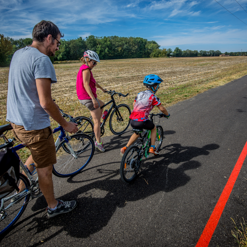
"La Traverse", a link between Bresse and Revermont.
A safe route reserved for pedestrians and non-motorized vehicles, built in part on the former Bourg-en-Bresse/Chalon-sur-Saône railway line and along the Reyssouze river and canal.
An itinerary equipped with practical and tourist information panels, benches, reception areas at Viriat, Attignat, Cras-sur-Reyssouze, Bresse Vallons, Saint-Trivier-de-Courtes, and a red line as a common thread.
12 towns crossed (40 km): Saint-Just, Montagnat, Bourg-en-Bresse, Viriat, Attignat, Cras-sur-Reyssouze Bresse Vallons, Malafretaz, Montrevel-en-Bresse, Jayat, Saint-Julien sur Reyssouze, Mantenay-Montlin and Saint-Trivier de Courtes.
Two new sections have been added:
* Between Attignat and Saint-Just
- 7.5 km from the Attignat reception area near the A40 toll booth to avenue de Marboz in Bourg-en-Bresse
- 3 km from avenue Amédée Mercier in Bourg-en-Bresse to Saint-Just town hall, via Bouvent.
15 rest and/or picnic areas
* Rue Bresse Cocagne in Montrevel-en-Bresse and Jayat - 1.1 km
Facilities served :
- Cézille business park
- Collège de l'Huppe
1 rest area
Between now and 2025: the next extension of the "La Traverse" greenway. A 44-km structure running from north to south.
Work will continue from the end of 2024 to reach Ceyzériat: 3.6 km to be developed along the RD 979 and Avenue du Revermont.
La Traverse, a safe lane dedicated to soft modes.
OuvertureAll year round.
TarifsFree access.
Contact et accès 01340 Montrevel-en-BresseAin (1)
Informations complémentaires

Ça peut vous intéresser
Leisure center – La Plaine Tonique
Malafretaz

Campsite**** La Plaine Tonique
Malafretaz
Mountain bike base Montrevel en Bresse – La Plaine Tonique
Malafretaz
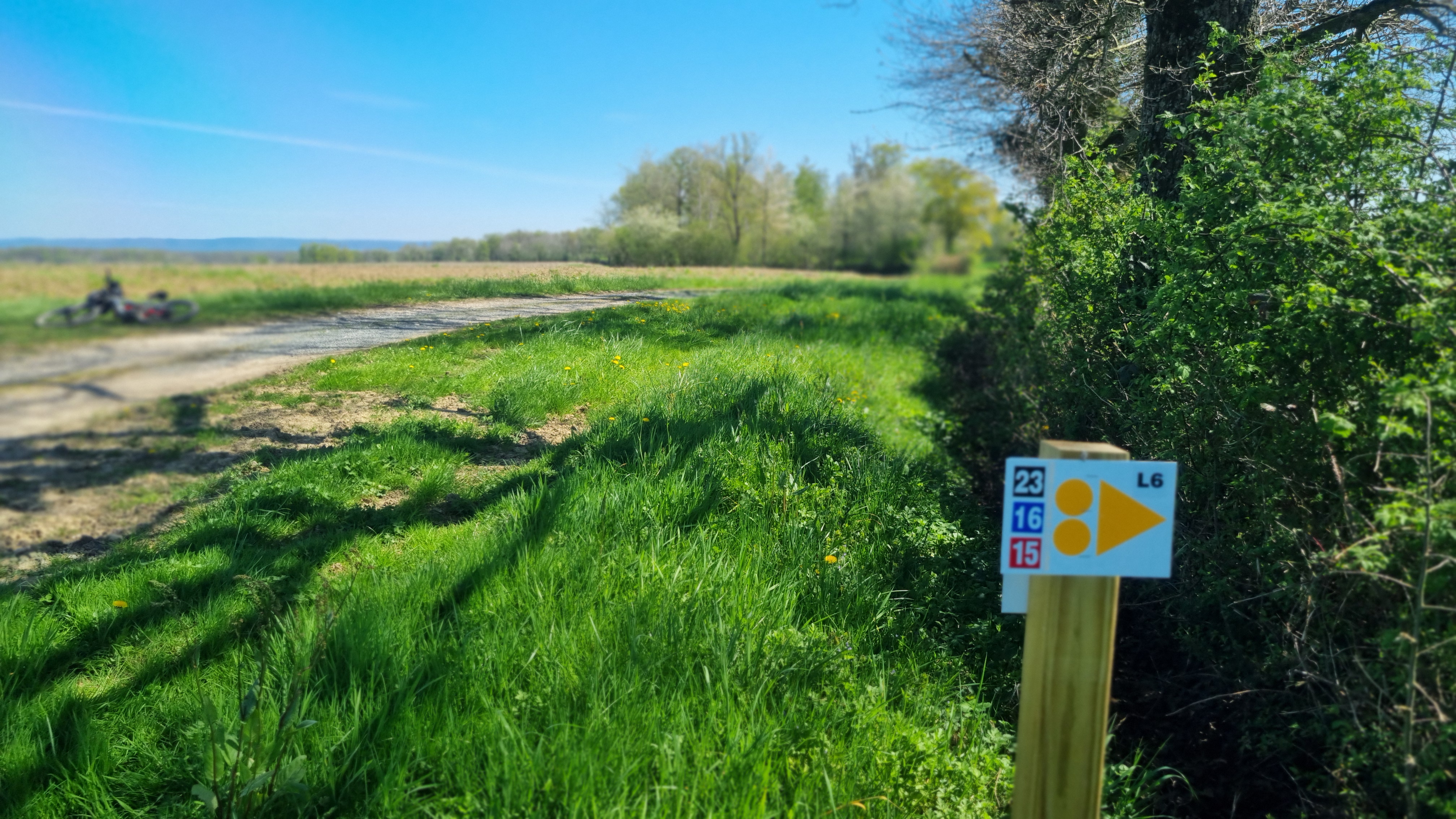
Liaison VTT (L6) St Trivier de Courtes – Plan d’eau de Mépillat
Saint-Trivier-de-Courtes
Liaison VTT (L3) Mantenay Montlin – Ferme de la Forêt
Mantenay-Montlin
À proximité
Bouchon de Bresse
Aéro 01
Crédits_Société AERO 01
OT Montrevel
OTBBB_©DR
JF BASSET
Christophe Thieux
BMhotelducentre
OT Montrevel
OT Montrevel
©Corinne Bertrand
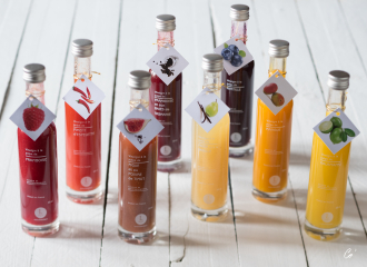
Bouchon
Le Bouchon de Bresse
Montrevel-en-Bresse

Service providers
Aéro 01 – Prestataires d’activités
Malafretaz

Sporting activities
Ecole de Pilotage dans l’Ain – Avion et Autogyre Ultra Leger – Initiations and pilot training – REGION ARA –
Malafretaz
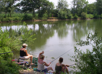
Leisure
Great Lakes and Reyssouze site
Montrevel-en-Bresse

Commercial event
Marché des artisans
Malafretaz
Hotel - restaurant
The Originals Le Pillebois
Malafretaz
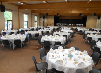
Leisure
Meeting and reception area La Plaine Tonique
Malafretaz
Leisure
Leisure center – La Plaine Tonique
Malafretaz
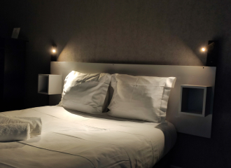
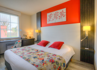
Hotel
Hôtel du Centre
Montrevel-en-Bresse
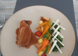
Traditional cooking
Restaurant Les Brouilles
Malafretaz
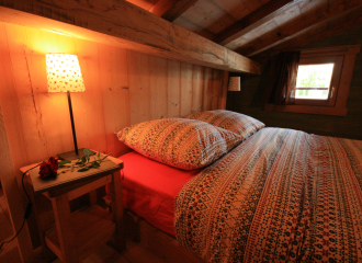
Bed & breakfast
Bed and Breakfast – Domaine des Brouilles
Malafretaz
Moulin de la Bresse
Jayat
