Tour des Fiz: Tour of the 3 refuges in 4 days #technical
Passy

Day 1: Depart Passy Plaine Joux towards Charbonnière. Continue to Frioland before arriving at Varan. The refuge is closed, but bivouacs are possible. 2h15 walking, 5.5km, 500D+, 250D-.
Day 2: Leaving Varan, head for Col de Barmerousse and continue towards Chalets de Platé. Overnight stay in Platé. 2h40 walking, 5km, 850D+, 400D-.
Day 3: From the Platé refuge, head for Col du Colonney, then Grandes Platières, Col de Platé and Col Pelouse, then Refuge de Sales via Combes des Foges. Overnight stay in Sales. 3h50 walking, 10.5km, 500D+, 700D-.
Day 4: From Refuge de Sales, head south for Passage du Dérochoir*, then follow Ayères des Rocs and Châtelet d'Ayères. 3h40 walking, 9km, 450D+, 950D-.
*Passage du Dérochoir: ancient rock fall, semi-climbing (walking, ladders, ropes). For this itinerary, the Dérochoir is downhill, which is uncomfortable and more risky than going uphill. Do not use this trail in case of rain. Turn to another route if you feel uncomfortable.
From 15/06 to 10/09.
Check refuge openings at www.monrefugeaupaysdumontblanc.com
From November to May, the route is cleared. Snow may still be present in spring.
In winter, access to the Tour des Fiz is not recommended (high-level ski mountaineering only).
Accessible outside the snow season and depending on weather conditions. Please check with the Tourist Offices beforehand for current access conditions and the opening hours of refuges along the route.
Subject to favorable snow and weather conditions.
Free access. There is no charge for the tour itself, only for accommodation and services (catering, accompaniment by a mountain professional). Bivouacs are authorized but regulated in nature reserves.
Contact et accès Passy Plaine-Joux74190 Passy
Haute-Savoie (74)
Informations complémentaires
Ça peut vous intéresser
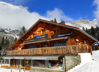
Skifiz Newfiz – Sport Skimium
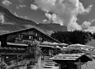
Lou Pachran – La Bougnetterie du Mont-Blanc

Cham’riders
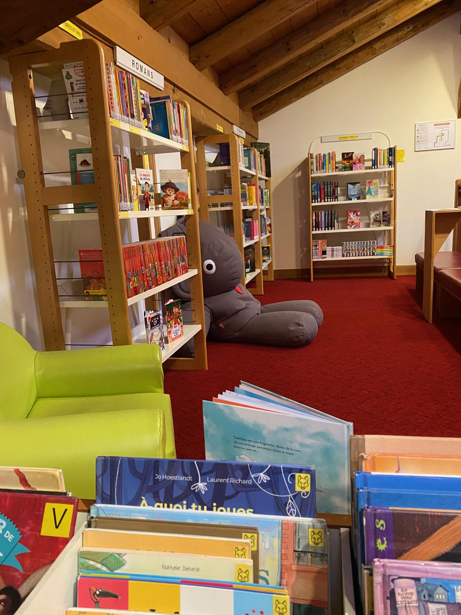
Servoz Library
Auberge des Gorges de la Diosaz
Alpine glaciers and their impact on the landscape – Chalet de Montvauthier
Via Ferrata of Curalla with a guide
Waterfall in Chedde
Discovery caving trip
“Chalet Coup de Cœur”

Apocalypse game
