


Sport
Tour de l'Aiguille noire. Trek de 3 jours
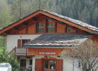
Peisey-Vallandry
Description
73210 Peisey-Vallandry
Savoie (73)
Informations complémentaires
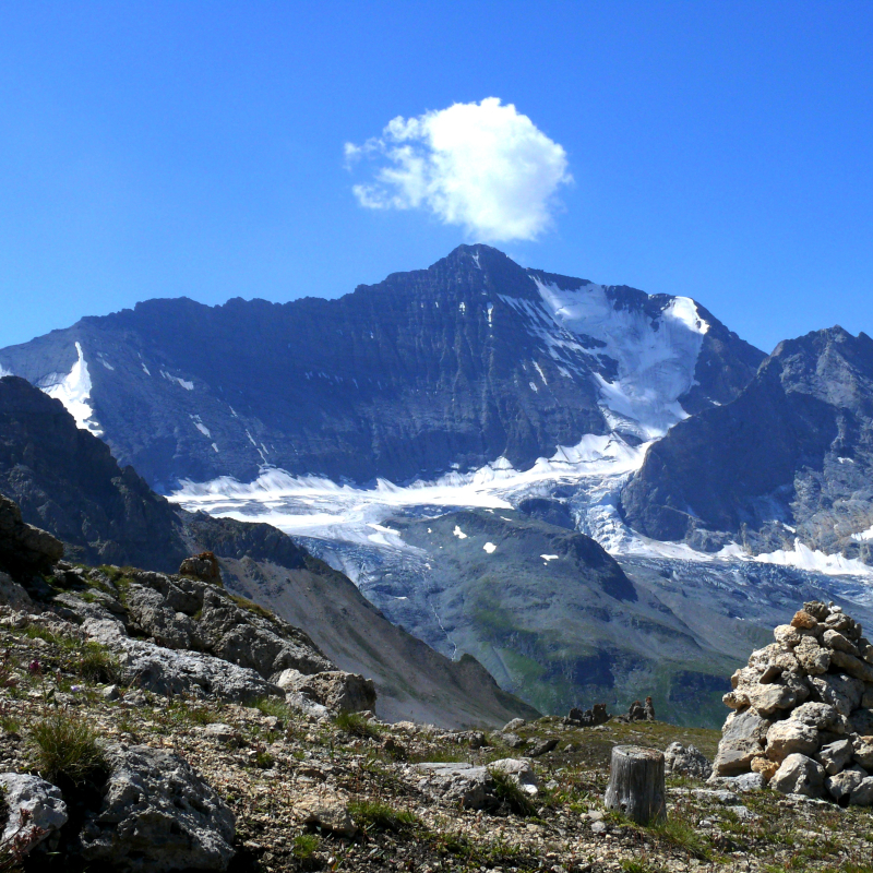
First day: climb to the Col du Palet hut (2,600 m) on the GR5. Lakes of La Plagne (2 144 m) and Gratalu (2 530 m). Count on 4 hours of walking.
Second day: just upstream from the refuge towards the south, pass the Col de la Croix des Frêtes (2,647 m) and descend into the mountain pastures to the small Lac du Grand Plan (2,500 m). Leave the path and head north-west on the flat part until you cross the path coming from Champagny at the foot of the Aiguille Noire and climb to the Col de la Grassaz (2637m). We go back down through the Aimes valley (Lac Verdet, 2 520 m). On the way back down we walk a few hundred metres on the GR5 and turn left to spend the second night at the Entre-le-lac refuge. Descend to Rosuel passing on the other side of the Torrent (right bank). Plan de la Plagne (2091 m), Le Varchey, la Cascade, La Guraz).
Difficulty: a portion of unmarked path. Do not attempt it in foggy weather.
All year round.
TarifsFree of charge.
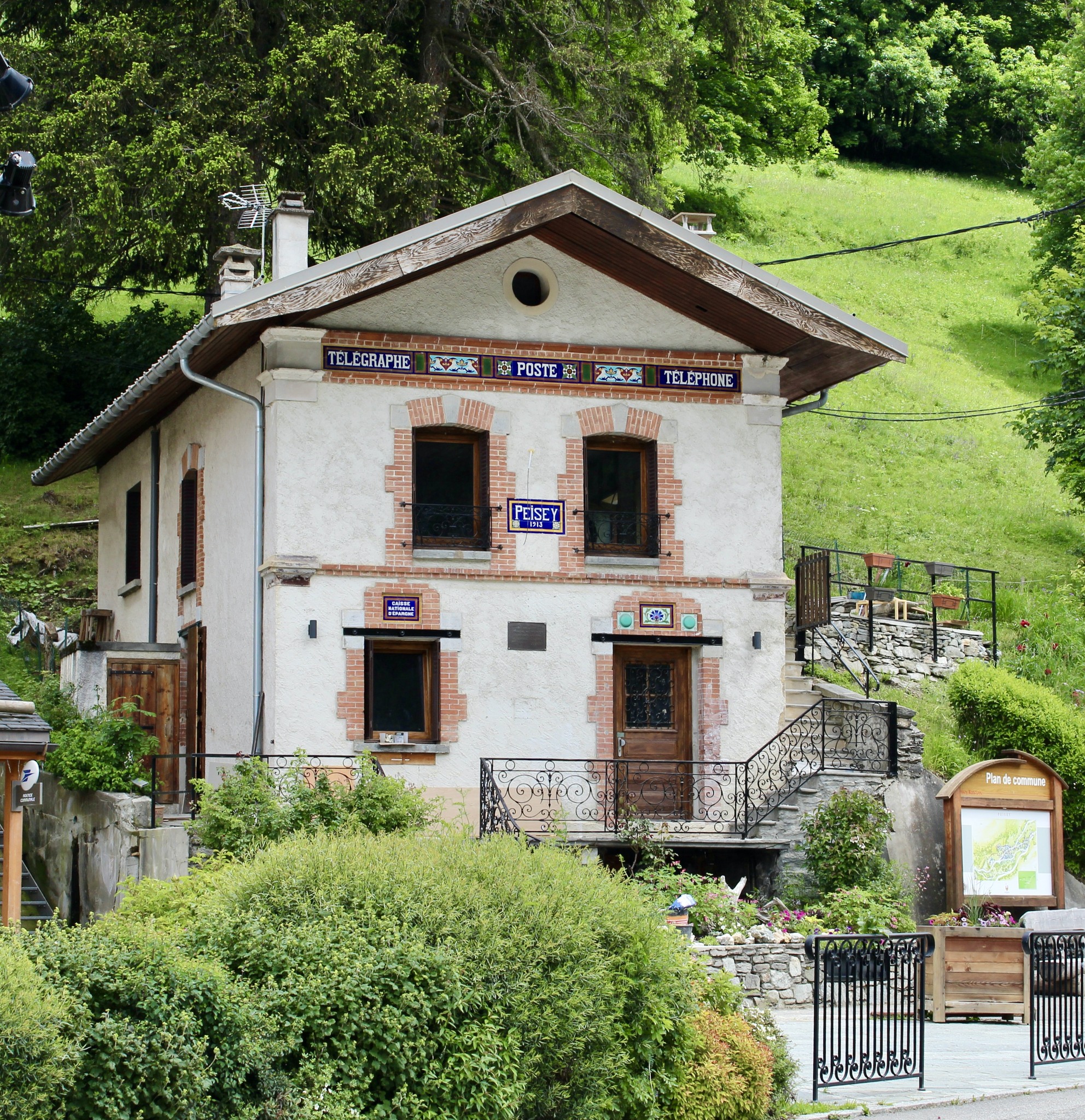
Contact et accès Le Chalet73210 Peisey-Vallandry
Savoie (73)
Informations complémentaires
Ça peut vous intéresser


À proximité

OT Peisey-Vallandry
Lécuru Célia
Guillaume Desarthe
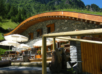
La ferme
GIE
OT Peisey-Vallandry
Bon Air
Bureau des guides
Group gîte
Holyday Gites Les Glières
Peisey-Nancroix
Brasserie
Le bistrot de la Poste
Peisey-Vallandry
Services
Public toilet Peisey Tourism Office
Peisey-Vallandry
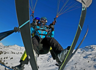
Service providers
Parapente Addict
Peisey-Vallandry
Traditional cooking
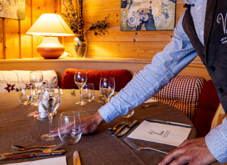
La Vanoise
Peisey-Vallandry
Service providers
Le Fer à Cheval
Peisey-Vallandry
Traditional cooking
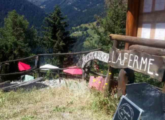
La Ferme
Peisey-Vallandry
Shops
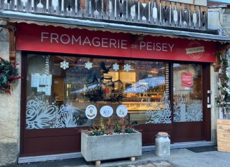
Fromagerie de Peisey Crèmerie chez Marthe
Peisey-Nancroix
Brasserie
Rosuel mountain hut Bar & Restaurant
Peisey-Nancroix
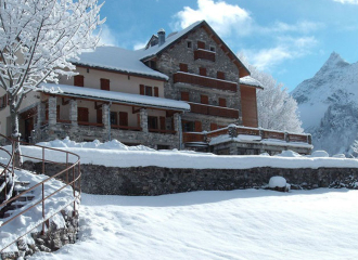
Chalet “Le Bon Air”
Peisey-Nancroix
Leisure
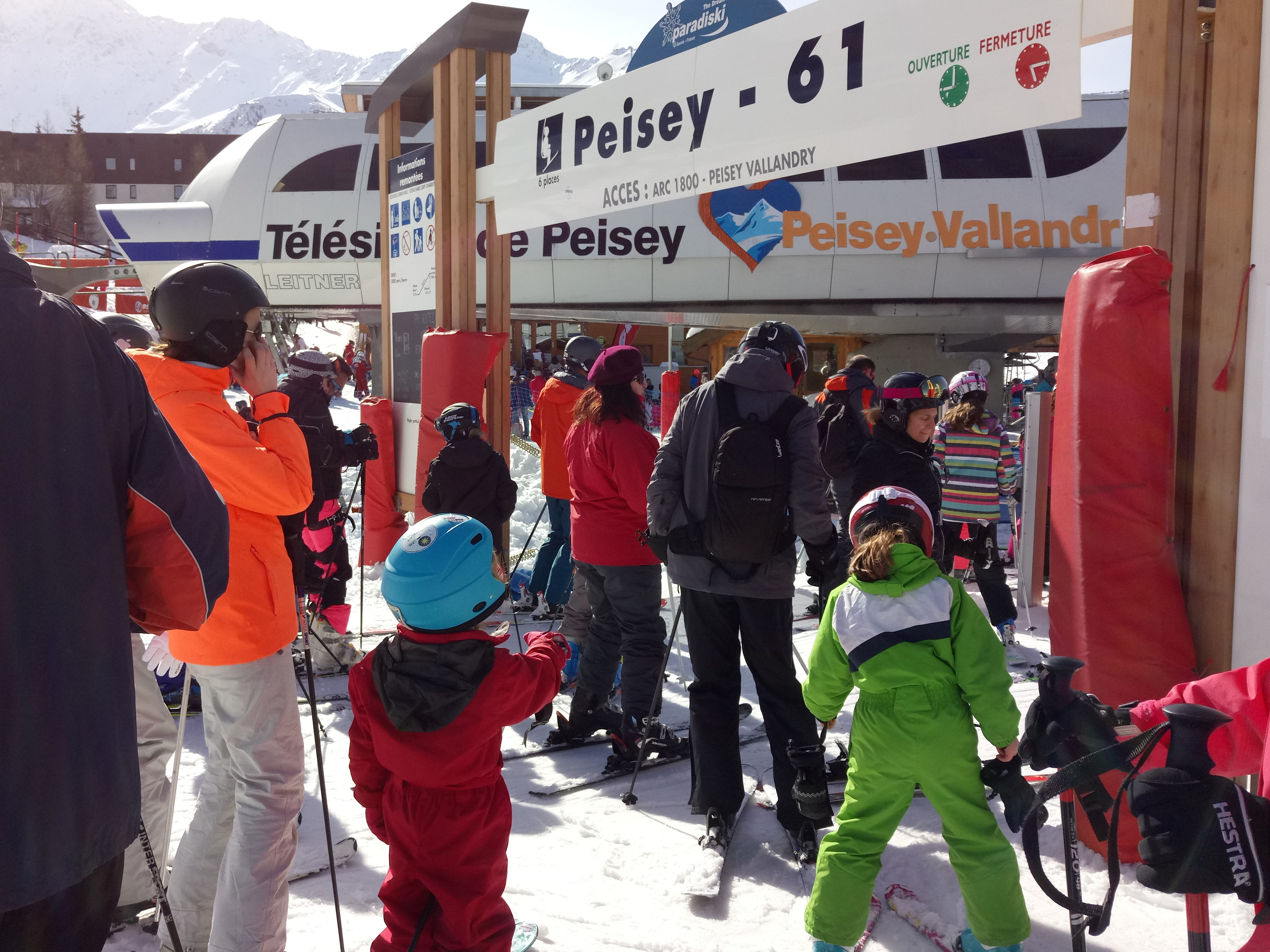
Peisey chairlift
Peisey-Vallandry
Sporting activities
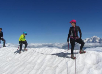
Glacier hiking – L’Aiguille Rouge
Peisey-Vallandry
