Right from the start of the hike, you'll feel like you're in the mountain pastures, among the goats and sheep happily grazing on the fresh green grass, an essential condition for good milk and quality wool!
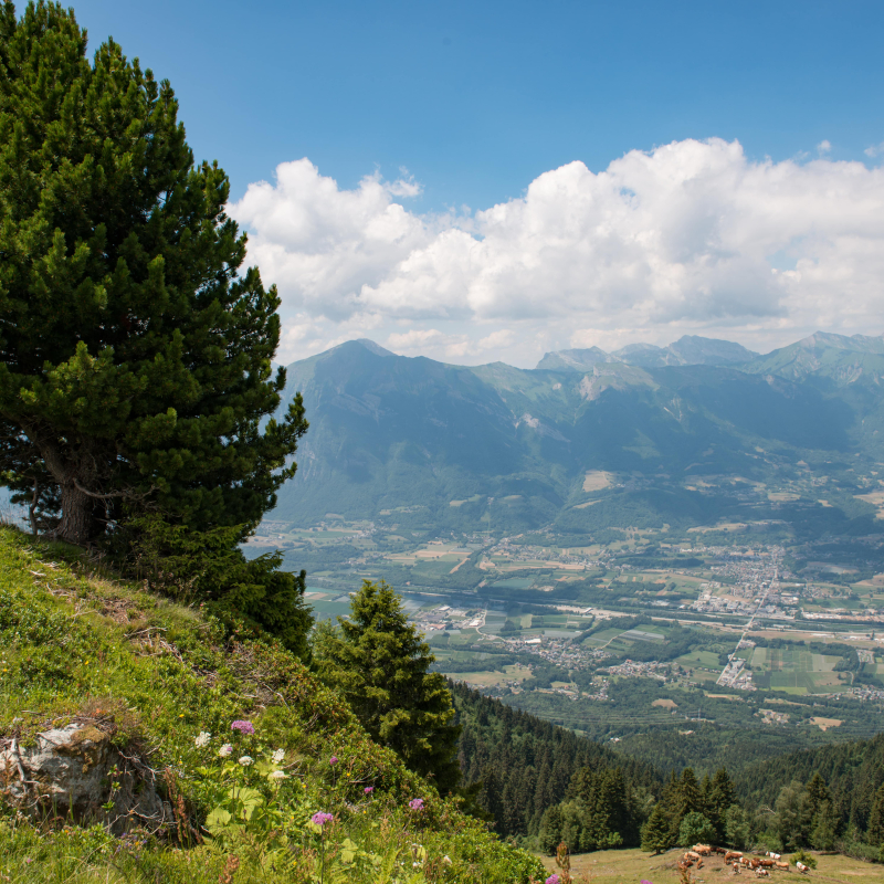
And as you ascend, you'll be treated to an exceptional landscape, with cross-country views of the mythical peaks of the western Bauges. Will you recognize Mont Pécloz, with its layers of rock like a mille-feuille?
Further down, the Isère river gently curves through the open spaces of the Haute Combe de Savoie.
And what can we say about the flora and altitude lakes that line your route, so many arguments for taking a little photo break!
And that's only the beginning, because once you've reached the ridge, you'll be amazed by the view over the first bastions of Tarentaise and Beaufortain. And it's not unusual to spot a paraglider launching from the Ebaudiaz just next door.
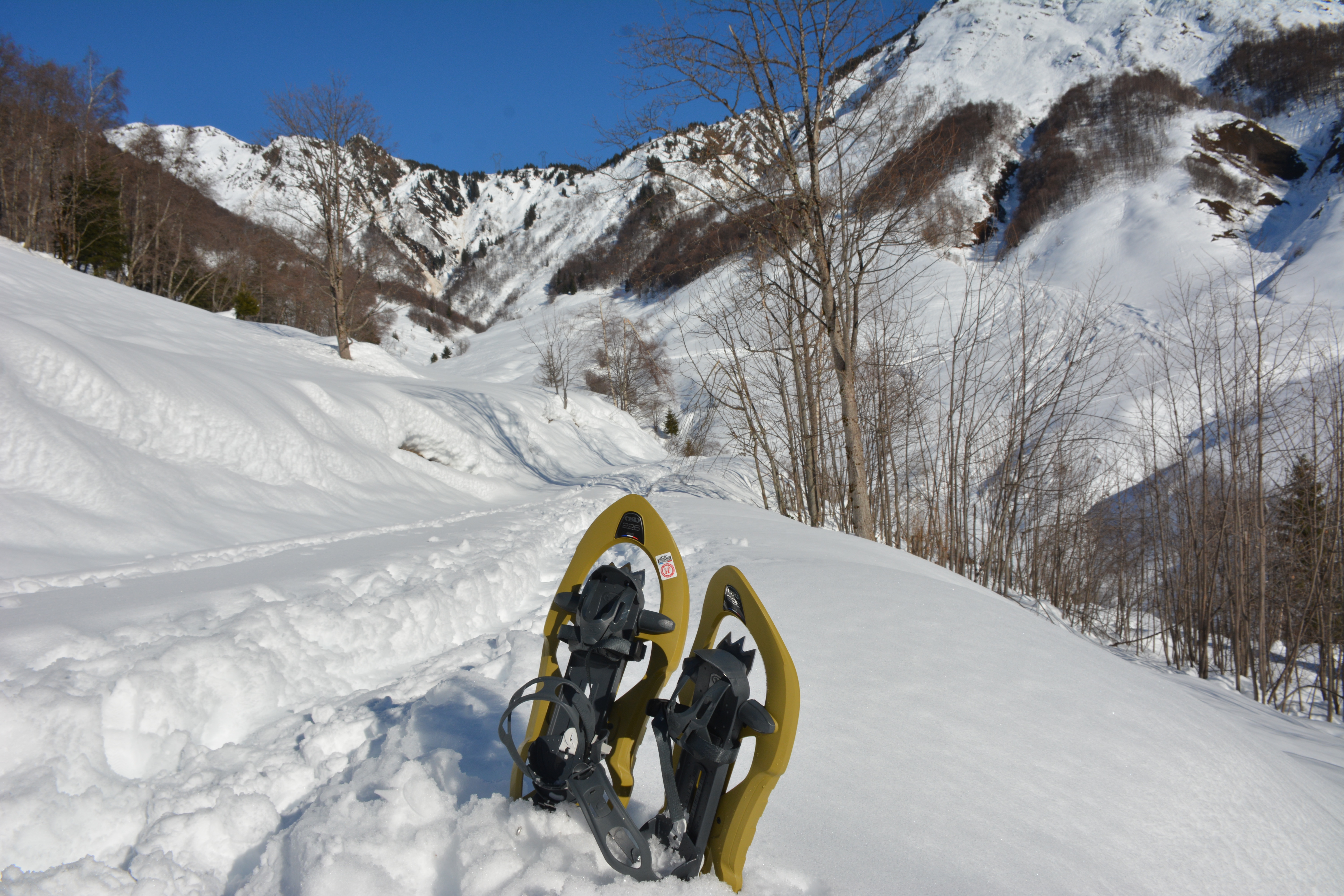
(Some passages can be aerial).
Guidebook with maps/step-by-step
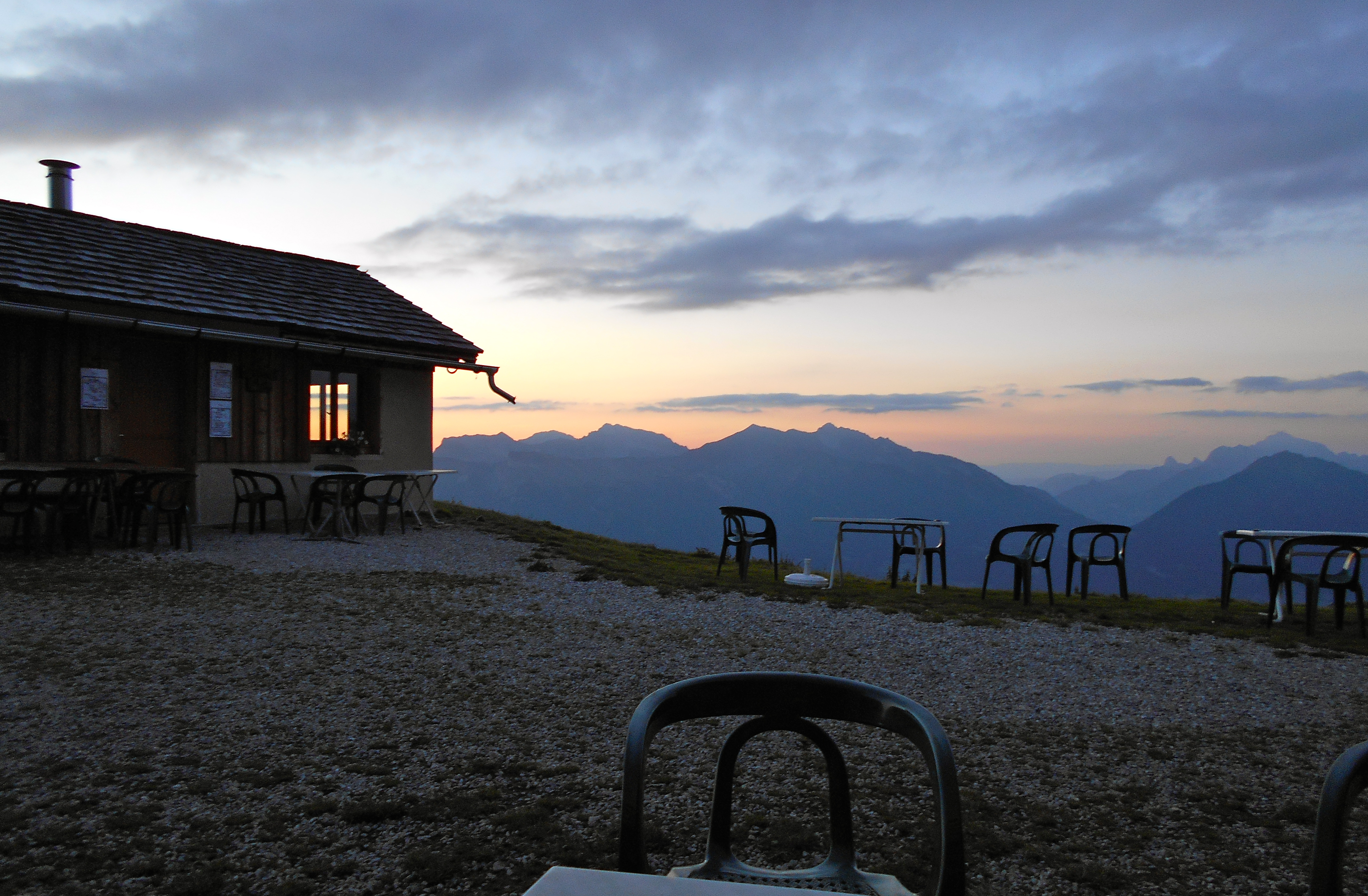
Start: from "CHALET DE LA TUILE" (1775 m), follow signs for "La Tuile".
1/ At the "REPLAT" crossroads (1810 m), turn right to reach the "Croisée" intersection.
2/ From "LA CROISEE" (1840 m), climb to the right, passing Lac de Fontaine Claire.
3/ From "LAC DE FONTAINE CLAIRE" (1955 m), continue up to the top of "La Tuile".
4/ At "SOMMET DE LA THUILE" (2240 m), take the ridge path to the Col de Charvan. Be careful, some passages are a little airy.
5/ From "COL DE CHARVAN" (2160 m), descend to the starting point by the same route, passing through "la Croisée" and "le Replat".
Ouverture
All year round.
Subject to favorable weather.
Tarifs
Free access.
Contact et accès
Chalet de La Tuile
73460 Sainte-Hélène-sur-Isère
Savoie (73)