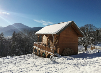
Snowshoeing treks : Le creux de Lachat
Arith

At the chapel in the hamlet of Montagny, turn left and follow the forest road to the end of the tarred section of the road.
Continue on foot along the forest trail. After the switchback turn, leave this track for the path on the right (towards Mariet d'Arith) and take the old Roman road. At the end of about 500 m, at the wayside cross, continue on the left path to reach Mariet above. Take the left path again. After passing a few chalets, you will arrive at the edge of the wood; follow the markers on the left to get to Creux de Lachat. The trail climbs into the forest to an intersection, which indicates the lodge at Creux de Lachat, 20 min.
From the lodge, you can reach the Col de Cochette by the route that passes along the ridge, then goes down to Montagny along the barns at Montorset (see the IGN map).
0/ At the chapel in the hamlet of Montagny, turn left and follow the forest road to the end of the tarmac section.
1/ Continue on foot along the forest track. After a hairpin bend, leave this track for the path on the right (signposted Mariet d'Arith) and take the old Roman road. After about 500 m, at the calvary, continue on the left-hand track to reach the Mariet above. Take the left-hand track again. After a few chalets, you come to the edge of the wood and follow the signs to the left for the Creux de Lachat.
2/ The path climbs through the forest to a crossroads indicating the refuge du creux de Lachat, 20 minutes away.
3/ From the refuge, you can take the route over the ridge to the Col de Cochette, then descend to Montagny via the Montorset barns (see IGN map).
From 01/12 to 15/04.
Contact et accès Hameau de Montagny73340 Arith
Savoie (73)
Informations complémentaires
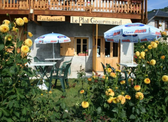
Le Plat Gourmand
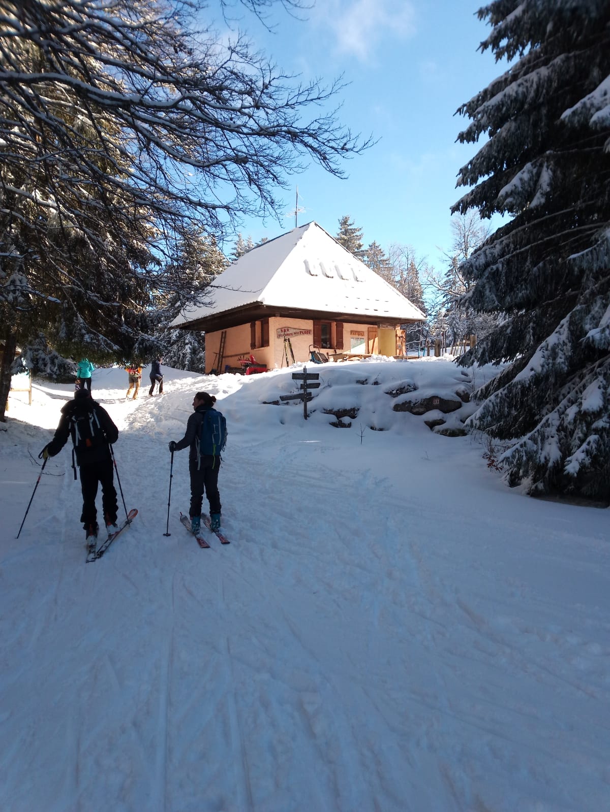
Refuge of the Plate

Refuge du Creux de Lachat
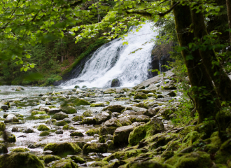
Anes et Flore – Cascade du Pissieu
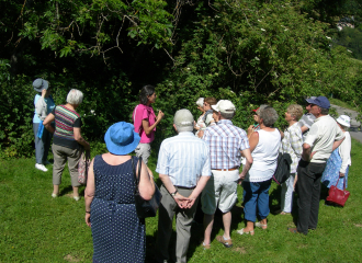
Jardin pédagogique de l’Herbier de la Clappe
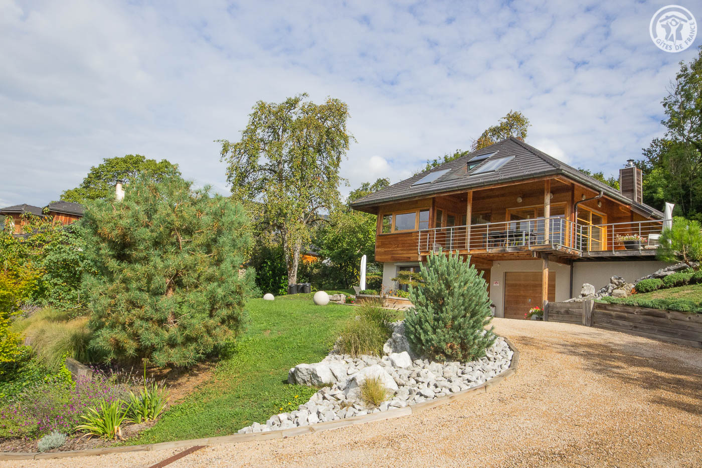
LES PERRELLES
Chalet Les Bogs des Bauges – Le Pécloz

Sokola – Chocolaterie Jacob
As the water flows
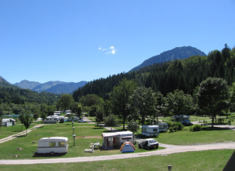
“L’Ile du Chéran” Campsite
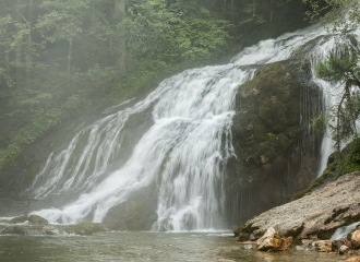
Pissieu Fall
