


Sport
Randonnée - Les deux vallées
Matafelon-Granges
Description
01580 Matafelon-Granges
Ain (1)
Informations complémentaires
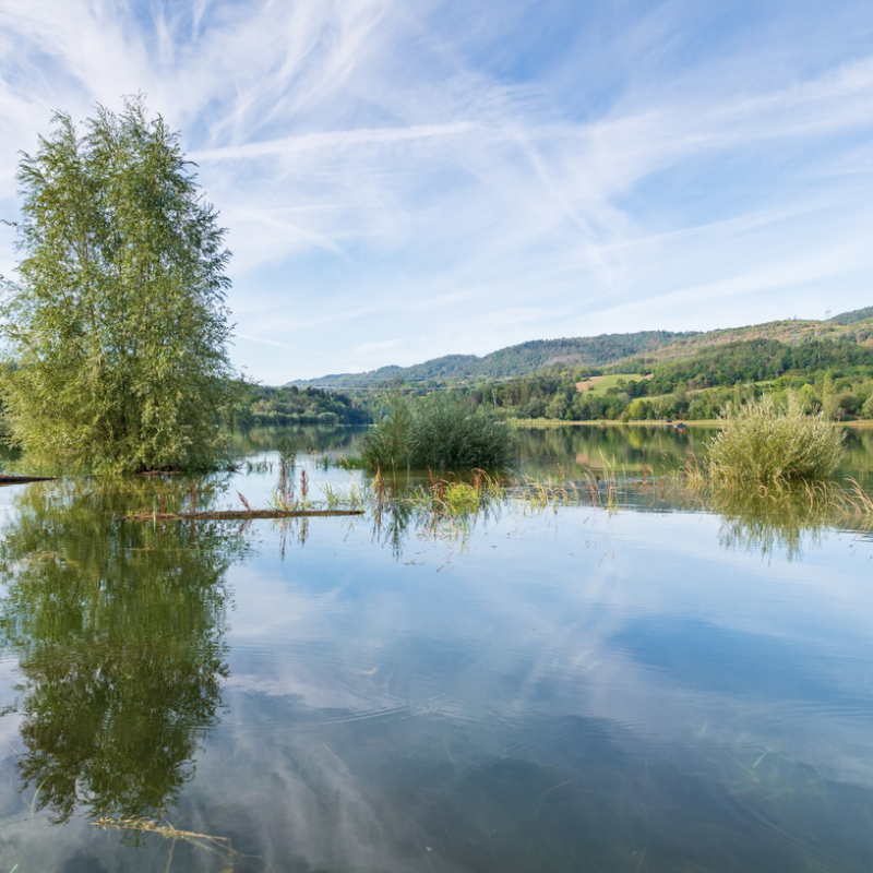
This hiking path is marked out in yellow. The starting point is at the lake of Oignin's edge. After reach the pass of Matafelon, the path runs into the forest. The path carry on until Coiselet, near to the Ain river. Next, the path follows the Oignin river until the hamlet of Charmines and the lake.
OuvertureAccès libre toute l'année.
TarifsGratuit
Topoguide en vente à l'Office de tourisme (1 €).
Contact et accès Rue du lac01580 Matafelon-Granges
Ain (1)
Informations complémentaires

Ça peut vous intéresser


À proximité

sarl samalo
HautBugeyTourisme_MarcChatelain
TourismeHautBugey©2014_MarcChatelain
OT Izernore
Autorisation
Maison Léonard
MYPHOTOAGENCY
Sarl SAMALO
OTHB
Département de l'Ain, Sébastien Tournier
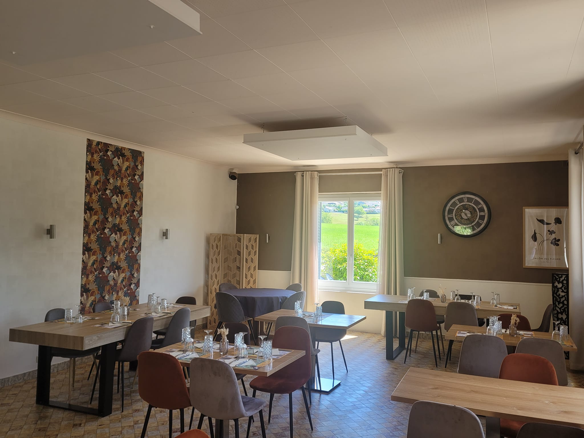
Bistro restaurant
Au Moulin du Pont
Samognat
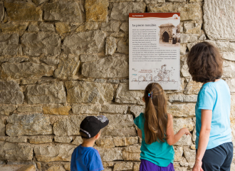
Cultural
The Stone Path
Izernore
Museum
Archaeological Museum
Izernore
Shops
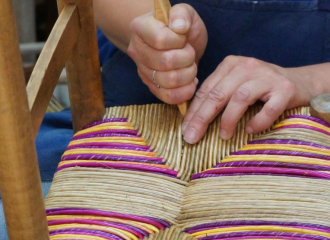
Atelier de cannage – paillage
Izernore
Cultural
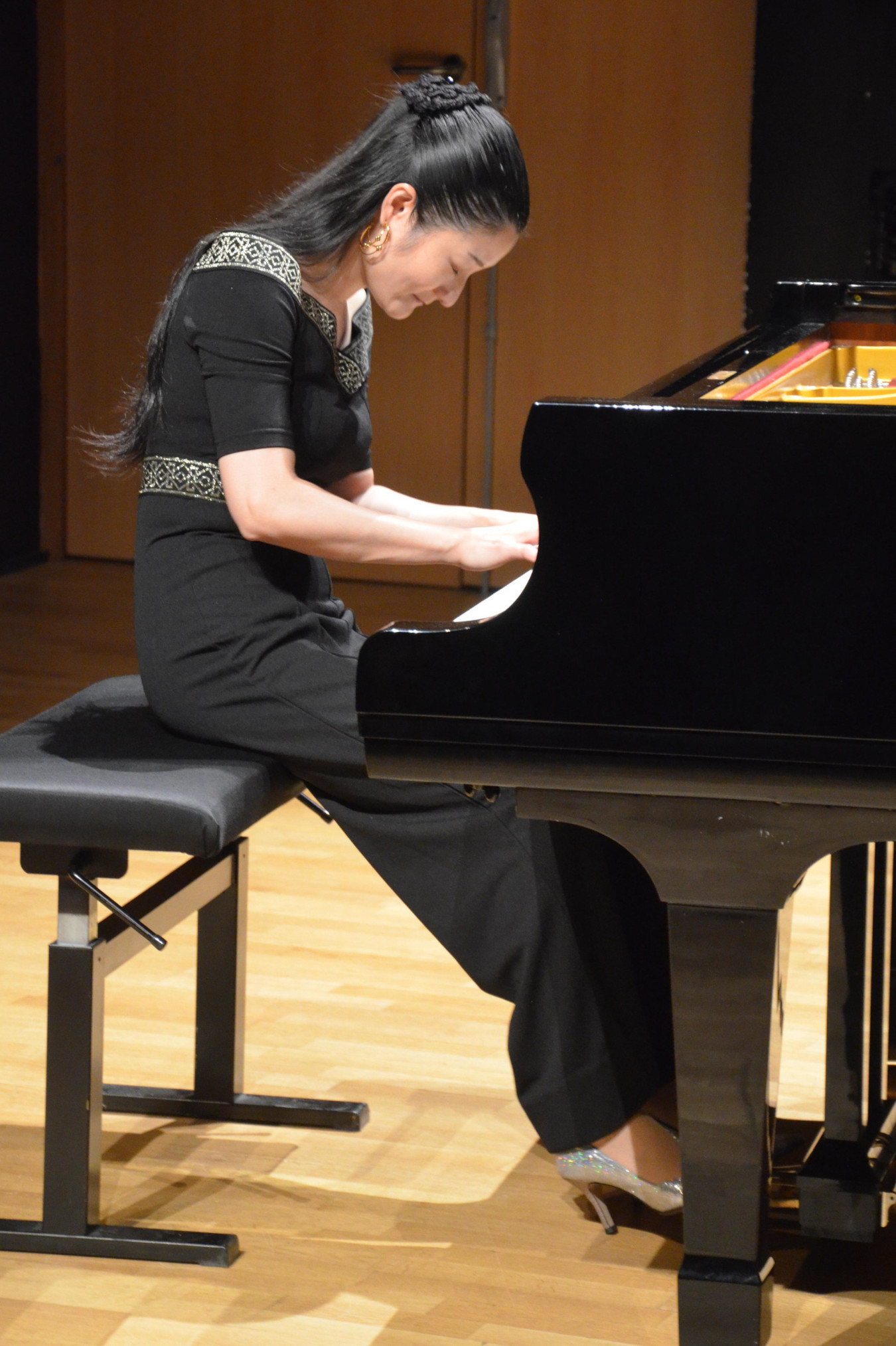
Festiv’Ain – Classical music festival
Péronnas

Pizzeria
Maison Léonard
Izernore
HLL (holiday chalet
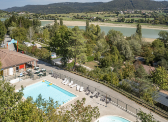
Gorges de l’Oignin camp site
Matafelon-Granges
Campsite
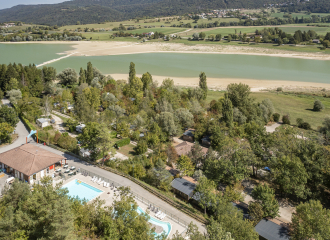
Camping Paradis Les Gorges du Haut-Bugey
Matafelon-Granges
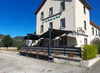
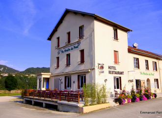
Hotel - restaurant
Hôtel Restaurant Au Moulin du Pont
Samognat
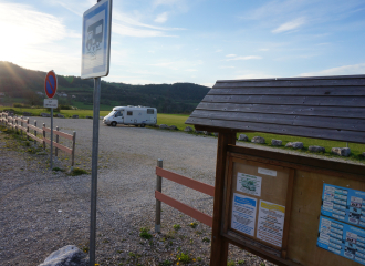
Camper van service/reception area
aire d’Izernore
Izernore
Shops
Bar du Moulin du Pont
Samognat
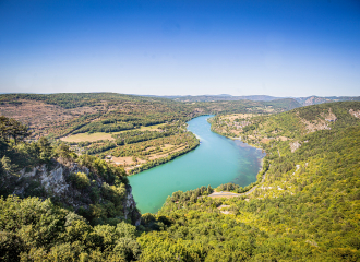
River
Rivière d’Ain
Corveissiat
