Randonnée - Étang Magaud
Saint-Angel
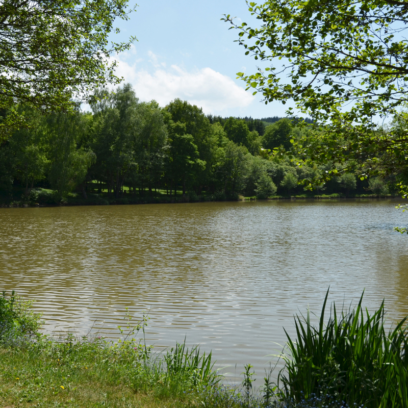
Departure point: Walk down the road towards the hostel and turn right towards the stadium. Continue straight ahead on the track, then follow the road to the right for 150m. Turn right towards Etang Magaud and walk along it on the left. Climb the hill, staying on this track, and continue straight ahead on the road. Cross Montgondol to find a track (view of Saint Angel) and follow it to a track on the left.
1 - Take this path, climb to the top of the hill and turn left. At the entrance to La Biesse, take the road on the left and, at the junction with the D418, go straight down. At the T-junction, turn left and continue straight on until you reach the road. Take the track opposite and follow it to Villemorie. Take the D50 on the left for 50m and turn right into rue des Entraves, then left into rue des Jardins as far as the crossroads .
2 - Cross over, continue on the track opposite and descend, ignoring the paths on either side (another circuit) until you reach a T-junction. Go left for 100m, then right. Enter the wood, turn right at the first junction and then left at the fork. Go downhill, leaving paths on either side, until you reach the road (other circuits).
3 - Continue along rue de Laschamps then rue de Chabagnat to cross Tableix. Continue along the road and take the first track on the left after the hamlet exit sign. At the crossroads, go left. Turn right at the fork and, after 100m, turn left. Turn left at the stream, walk alongside it and cross two fords. Turn left across the stream, follow it and cross it.
4 - Turn right. Leave a road on the right (well) and another (cross) at the entrance to Les Chazeaux. Ignore the first street on the right (shoe loom), turn right at the next one and then immediately left. Continue straight on until you reach a T-junction. Turn left and go straight ahead. At the road, turn left to get back to the starting point.
All year round.
TarifsFree access.
Contact et accès Place de l'église63410 Saint-Angel
Puy-de-Dôme (63)
Informations complémentaires
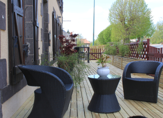
A l’Aube des Volcans
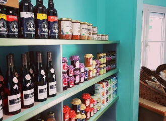
Grocery store
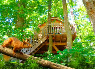
Natura Tazenat
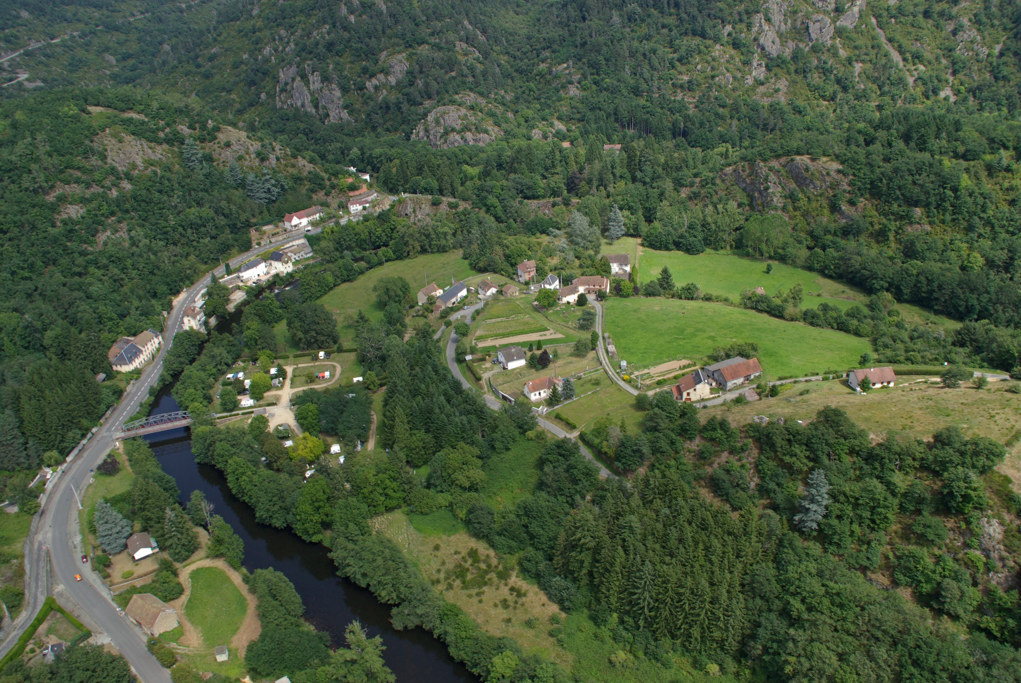
Résidence du Parc – Studios 4 Personnes

Boulangerie Pâtisserie Cromarias
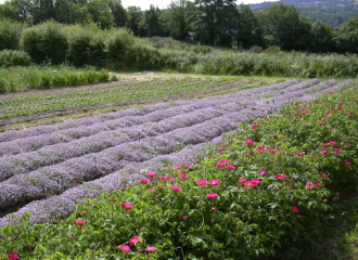
Catherine and Vincent Segretain
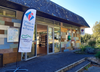
Bureau de Tourisme Combrailles Auvergne à Châteauneuf les Bains
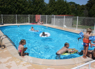
Camping La Coccinelle
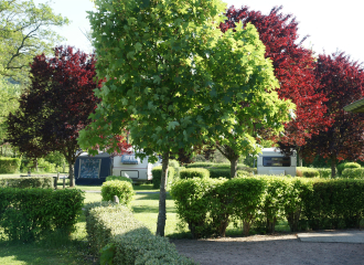
Camping de la Sioule
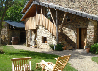
Suites de Campagne®
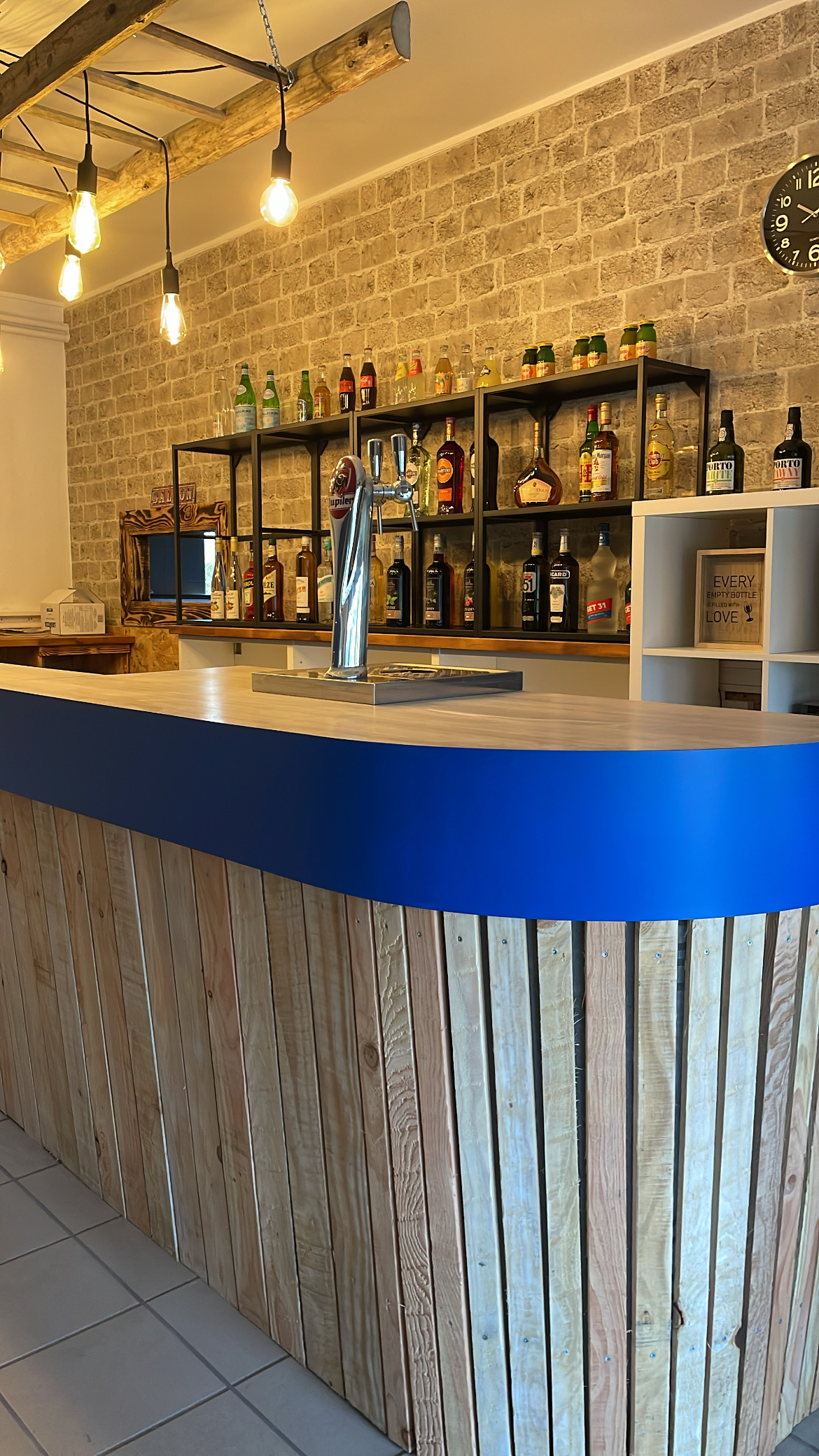
Au Rêve Bleu


