


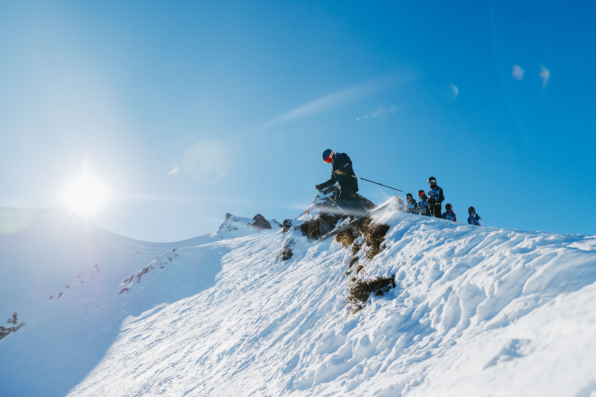
Sport
Pointe et lac de Friolin. (Boucle)
Peisey-Vallandry

Description
73210 Peisey-Vallandry
Savoie (73)
Informations complémentaires
From Les Bauches (1,770 m). Take the small road in the direction of Pramain (or Pramain). Go up the valley to the start of a chairlift (2 286 m). Here you leave the axis of the valley to go left on the path to Lac de Friolin (2,491 m). From here the path gets a little lost. Join the ridge upstream by heading south to the point at 2,739 m.
Be careful: the ridge is extremely loose. Constantly falling down. Do not approach the edge. We return due north to the summit of the Pointe de Friolin (2,678 m). From there we reach the Croix Bozon (2,250 m) as best we can in the boulders. We descend to the left of the Croix to reach the Bauches.
Difficulties: difficult, long, climbing sections, a path not always marked out, no water, flocks of sheep, areas of rockfall: the Pointe de Friolin must be earned! But the lake is so unexpected and the view so beautiful that it is well worth it.
All year round.
TarifsFree of charge.
Contact et accès Le Chalet73210 Peisey-Vallandry
Savoie (73)
Informations complémentaires
Ça peut vous intéresser


À proximité

OTMLP
SAP
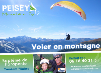
©Peisey Mountain Fly
Philippe Royer
Philippe Royer
Les Lanchettes
Guillaume Lucazeau
libre de droit
Evolution2
Elliot Gieu
M.Suret OT Peisey Vallandry
Leisure
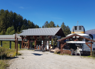
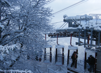
Lac Noir gondola
Montchavin-les-Coches
Leisure
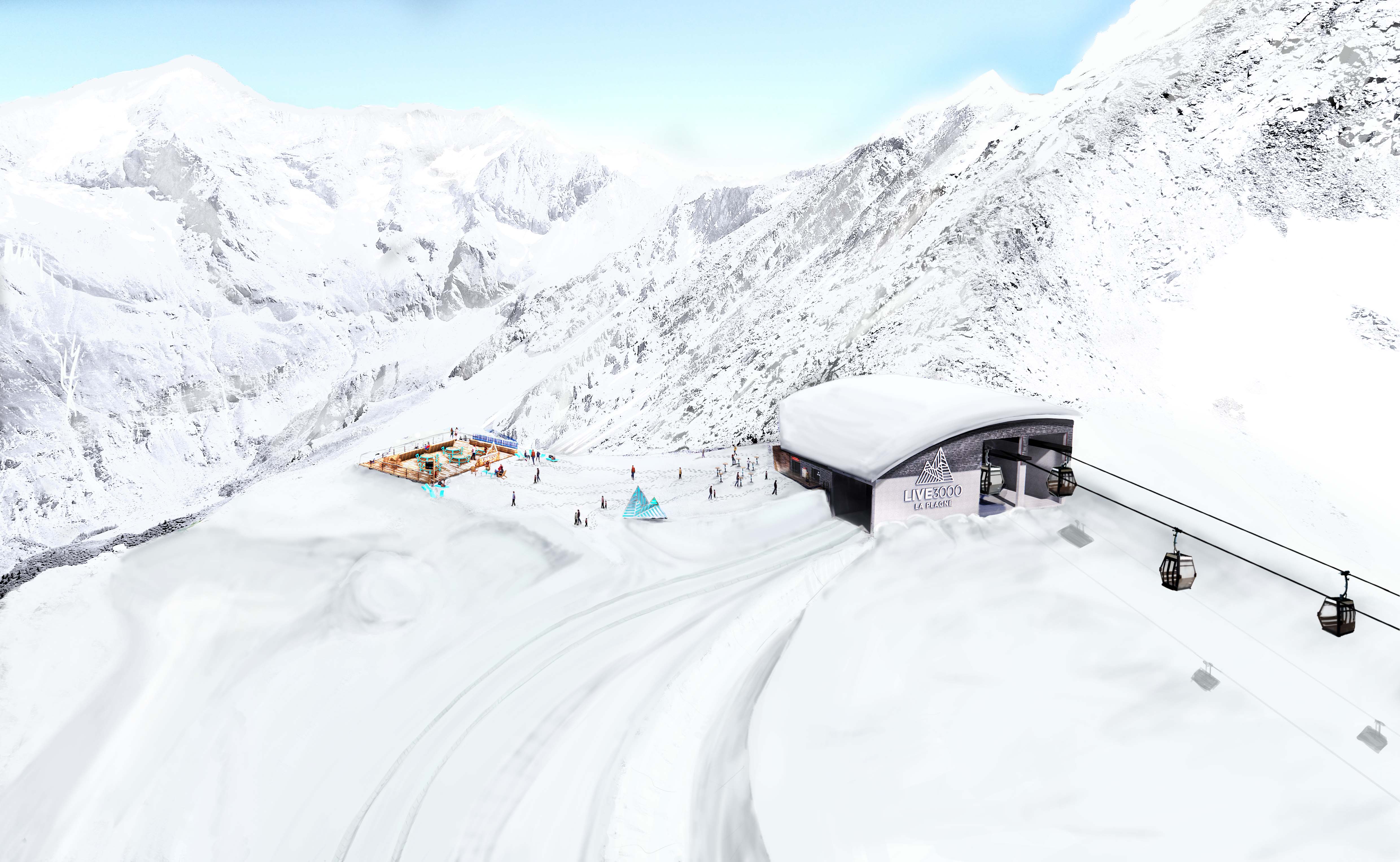
Espace Live 3000
La Plagne
Service providers
Peisey-Vallandry Mountain Fly
Peisey-Nancroix
Sporting activities
Mountain Guides Compagny Tour du Mont Blanc
Les Arcs
Sporting activities
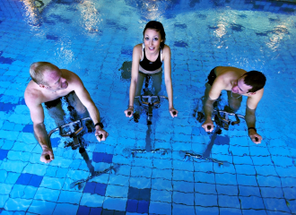
Aquabiking
Montchavin-les-Coches

Sporting activities
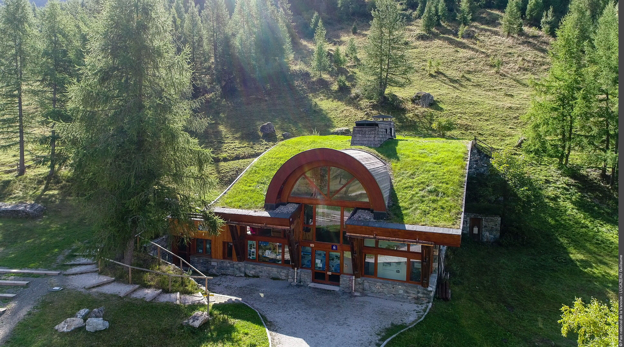
Discover wild places in Tarentaise ! Le Monal
Montchavin-les-Coches
Traditional cooking
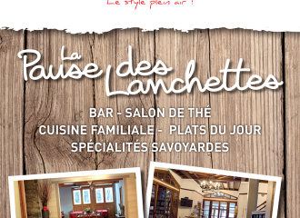
La Pause des Lanchettes
Peisey-Nancroix
Refuge
Rosuel mountain hut
Peisey-Nancroix
Traditional cooking
Fleur de neige
Montchavin-les-Coches
Sporting activities
Private ski lessons for beginners – Children – 1h30 – Evolution 2
Montchavin-les-Coches
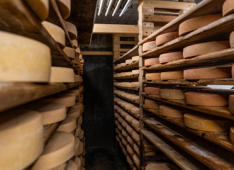
Fromagerie de Peisey
Peisey-Nancroix
Leisure
Open-air gondola Lonzagne
Peisey-Vallandry
