Loop of the Pays de Menat
Servant

Stage 1: Servant (Étang de la Prade) / St-Gal-sur-Sioule: 21 km - 6h00
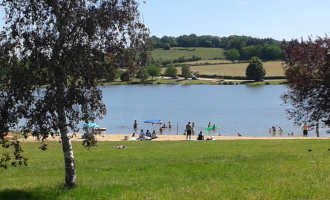
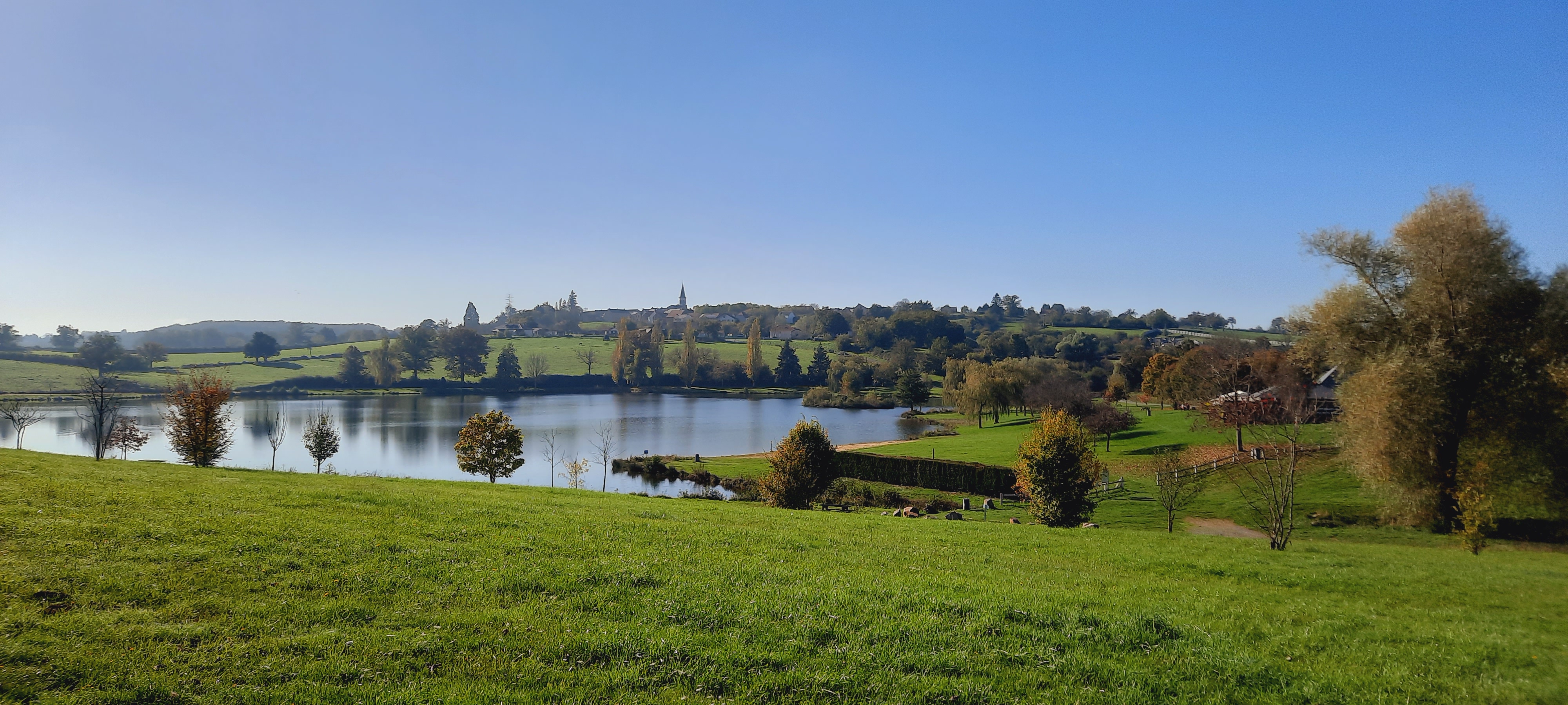
Start: Take the dirt track opposite the lake, around it to the south. At the end of the track, turn left and go straight on to join the main road. Follow it to the left. At the fork, turn right in the direction of Favodon for 50 m, then fork right onto a wide dirt track. Follow the road to the right as far as “La Jozelle”.
1 - Go left down the road through Crozet. Go straight on, then right on the small road to Les Bournats. Cross the hamlet and head opposite on the downhill track to the D915, which runs alongside the Sioule. Turn right to reach the Pont de Menat. After the water sports center, go straight ahead at the bend to join the D2144. Turn left to cross the bridge over the Sioule.
2 - After the bridge, turn right, then left after 50 m at the information sign. Cross the road and continue straight ahead on the dirt track. At the T-junction, turn left, then right at the road. Shortly afterwards, take the wide track down to the left and cross the locality known as “La Bussière” (remarkable tree on the left).
3 - At the end of the village, turn left. After 200 m, take the dirt track on the left (view of the Sioule gorges). At the end of the track, take the path on the right. Follow the road down to “Lavaux”. At a ruin, fork right onto the track, then immediately left at the fork.
fork, turn left. After 500 m, take the small track that descends to the left towards the Sioule gorges. At the fork, turn right onto the steep track. After a short climb between two rock faces, a lookout offers a breathtaking view of the Sioule.
4 - Continue uphill until you reach a wider track, which you follow to the left until you reach the road. Follow it to the right for 100 m, then turn left. Continue straight on, past the microlight take-off runway, to the “T” junction.
5 - Turn left. At “Les Tabarias”, turn left, then immediately right. As you go downhill, turn right onto the small perpendicular road, which turns into a dirt track after 50m. At the road, turn left. Shortly before the sign for the village of “Saint-Gal”, take the grassy path leading off to the right, then turn left at the first crossroads. Go around the church to the left and take the road leading downhill opposite. Reach the bridge, pass under it and follow
along the Sioule to the road.
Stage 2: St-Gal-sur-Sioule / St Pardoux: 20 km - 6h30
Start : At the end of the track, turn right onto the asphalt road. In the main street of Le Bourg, turn right, then immediately left (old oil mill). At “Chaux”, follow signs for “GAEC”, until you reach a crow's-foot (cross).
1 - Follow the left-hand road for 500 m, then take the path rising to the right until you reach the D15, continue to the right for 350 m, then continue to the right until you reach ''Machal''. At the entrance to the hamlet, turn left around the farm and follow the dirt track, ignoring the left and right paths,
In this hamlet, take the road to the right for 100 m, then go straight ahead on a dirt track. At the first crossroads, turn right (panoramic view). At the hamlet of Outre, cross the road and continue straight ahead on the dirt track as far as the Marcillat church.
2 - Continue on the main road and 300m after the village exit sign, at the cross, take the track on the left. Go straight down to the bottom of the valley, cross a stream and continue straight ahead. Cross another stream and climb up to the D15 road.
3 - Cross the road, turn right and take the Rue de la Forge on the left. Go through the village of Mathas. At the D50, go to the main crossroads 30 m ahead on the left.
4 - Go straight ahead on chemin de Landouin. Turn left at the fork, then right at the crossroads. Continue along this track, leaving a path on your right. Pass the Fontaine d'Isserteau, climb up to cross the village and continue to the D50.
5 - Go straight ahead on the dirt track. At the crossroads, take the middle track, then fork left towards the “Table d'orientation” (360° view). Follow the track around a field to a T-junction, then turn left. At the road, turn right to reach the Saint Pardoux church.
Stage 3: St Pardoux / Blot-l'Eglise: 21.5 km - 6h15
Start: After the church, take the road on the left, towards Blot-l'Eglise. Follow it for 800 m, then turn left onto a dirt track (iron gate). Continue on the main track, passing over the Sep stream at a sharp left-hand bend. At the fork, turn left, then, after a sharp left-hand bend, take the right-hand climb. After a wooden gate, descend to the left and continue straight on to the water's edge.
1 - Go around the dam to the left. Take the iron footbridge over the Sep and continue to the right. Cross the dam, follow the road for 150 m and take the track on the right. Follow the path alongside the dam up to a fork in the road. Turn right at the road (D122), then right again for
right for 200 m and continue straight ahead on a dirt track.
2 - After a large embankment, turn left. Keep right at the next two intersections until you reach the D122. Continue along the track opposite. Turn right at a large left-hand bend. Back on the road, at Pery, turn right, then immediately left onto a tree-lined gravel track. At the fork in the road, turn right, then right again at the next two forks. At “Le Perissel”, take the road to the left, then, after 100 m, take the narrow dirt track rising to the left until you reach the D122.
3 - Follow the road on the left for 50m, then take the dirt track on the right (steel barrier). At the road, turn left twice until you see the village of Blot l'Église on your right, then join the town center.
Stage 4: Blot-l'Eglise / Les Fougeroux: 24.5 km - 7h00
Departure point: Leave the village on the main street, turn right towards “Pouzol”, then left towards “les Tinants”. After two large masonry wells, take the gravel track to the right, and follow it to the road.
1 - Go straight ahead (old farm machine), turn left at the T-junction and continue as far as “La Villeneuve”. Turn right onto the dirt track that winds down into the Sioule gorges. At the road, turn right to the Lisseuil church.
2 - Opposite the church, fork right, then, after 50 m, go left, direction “Moulin des Iles”. The road turns into a track which leads up to the D109. Turn left onto the D109, then left again after 200 m, following the Sioule to Les Garachons.
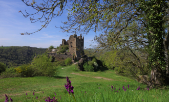
3 - An old, badly deteriorated road leads up to the D109. Take the wide dirt track opposite. At the T-junction with a road, turn left. At a crossroads with an iron cross, fork left towards “Château Rocher”. Château parking lot on the left.
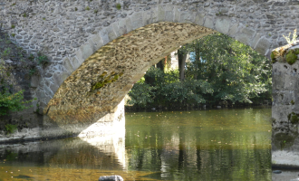
4 - Take the grassy path down to the right of the parking lot (signposted “sans-issue”). Back on the D109, follow it to the right as far as a small Romanesque stone bridge.
5 - After the bridge, turn left. Descend along the basketball court, then follow the Sioule for over a km. At the end of the forest, take the wide rocky track rising to the right (view of Château Rocher). Cross the village of Biesse, staying on the main road. (well surmounted by a
cross on the right). At the main crossroads, take the road rising to the right towards “Vendoges”. At the fork in the road, follow the winding track to the right. Back on the road, turn left until you reach a crossroads.
6 - Turn right on the minor road to Neuf-Eglise, skirt the stadium on the right, and after 200 m, turn right on the grassy track (St Roch fountain) to the road.
7 - Turn right, then, after 150m, at a basalt cross, turn left onto the old, damaged road. At the crossroads, continue straight ahead until you reach a wide dirt track on the left (signposted “limitation 6T”), which you follow along a pond to a place called “Le Bouchat”. After the village, fork left onto the dirt track (signposted “limitation 3.5T”). Go past the Malguette pond and continue on to the D122, where you turn right for 700 m to “Les Fougeroux” (chambre d'hôte).
Stage 5: Les Fougeroux / Le Peyroux: 14.5km - 4h00
Start: From the start sign, near the gite d'étape, climb up and take the small road to the left until it intersects with a track (small pond).
1 - Go straight on, then turn right immediately. At the “T” junction, turn right towards “l'Etang de Malguette”. At the crossroads, fork right onto the path marked by a wooden cross. At the fork, keep left until you reach the central traffic circle of
Teilhet roundabout.
2 - Follow the signs for “cimetière” (cemetery) past the town hall to “la Rodde”. Cross it and turn right down a dirt track. Follow the main road to the D110 and continue straight on until you reach a stone bridge.
3 - Cross the bridge and turn left (quarry and wash-house on right). Keep right at the next three intersections until you reach a very wide gravel track bordered by a small stream, which you cross and follow to the left. Take the 2nd left-hand track down to “Chez Charles”.
4 - Take the dirt track to the left. At the fork, turn left, then right at all subsequent intersections until you reach the village of “La Vialle”. (Shortly before, the road passes under a disused railroad line).
5 - Turn right onto the D110 (La Vialle's main road) then, after 100 m, go left towards Les Peyroux.
Stage 6: Le Peyroux / Servant: 23km - 6h45
Start: Climb the dirt track below the chambres d'hôtes. At the T-junction with a wider track, keep right until you reach the D987. Take the road to the left, then fork right towards Chez Vareille.
1 - After the village, at the intersection of two dirt tracks, turn left, then left again at the T-junction. After 200 m, turn right onto the track bordered by a large embankment. At the T junction (the village of Les Chabriots can be seen opposite), climb the coloured dirt track on the left. Continue straight
straight ahead, on the track and then on the asphalt, until you reach the main road to the village of Les Beauforts.
2 - Follow the road to the left for 50m, then, immediately after passing a bricked-in well, turn right. At the stop sign, follow the D987 to the right for 300m, then take the first turning on the right towards the Bois des Brosses (arboretum and menhir on the left), ignoring the forks on the left.
to the village of Piogat.
3 - At the “T” junction of two roads, turn left. At the crossroads with the D509, go straight ahead on the wide gravel track (view of Menat village). At a small tin shack, go left up another gravel track. Cross the main road and continue along the track opposite. At the road, turn left through the village of “Les Querriaux” to a cross on the left.
4 - Take the small road on the right (opposite the cross). Turn right at all subsequent intersections until you reach Deux Forts. Back on the road, at the first crossroads, turn left down the dirt track. Cross a stream twice on wooden footbridges.
5 - After the second footbridge, turn left. At the ruins of the “Moulin du Bois”, take the right-hand track. At the next crossroads, turn right around the bend and cross the Saugère road.
6 - At the fork, take the road to the right. At the T junction, continue right along a small pond, then stay on the road until you reach Les Pignons.
7 - Take the dirt track on the left at a wooden cross framed by two cedar trees. Continue straight on to Servant. Pass the church. Turn left onto the main road, then left again after 100 m at the public weighbridge. Once out of town, pass the oratory and turn right onto the dirt track, then right again at the intersection with a second track. After a ten-metre stretch of tarmac, continue on the dirt track. Back on the road, turn right at a ruined house. At the “T” junction, keep right, then follow the “Plan d'Eau” signs until you reach the “Plan d'Eau”.
All year round.
TarifsFree access.
Contact et accès Étang de la Prade63560 Servant
Puy-de-Dôme (63)
Informations complémentaires
Ça peut vous intéresser
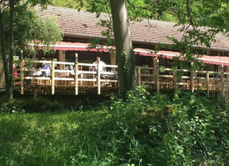
Les Gorges de Chouvigny
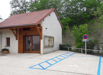
Gîte PMR de Chouvigny
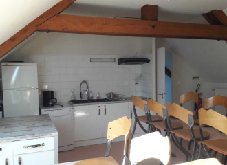
Gîte d’étape et de séjour Les Gorges
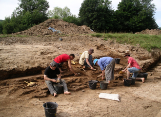
Paléovergne

Marie à la ferme
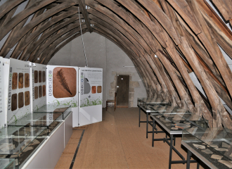
Museum of Paleontology
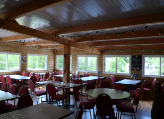
Restaurant Sioule Loisirs
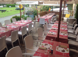
Le Beau Site
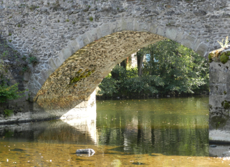
Roman bridge
Circuit poussette – Plan d’eau de la Prade
Via Ferrata of the Sioule gorges
