


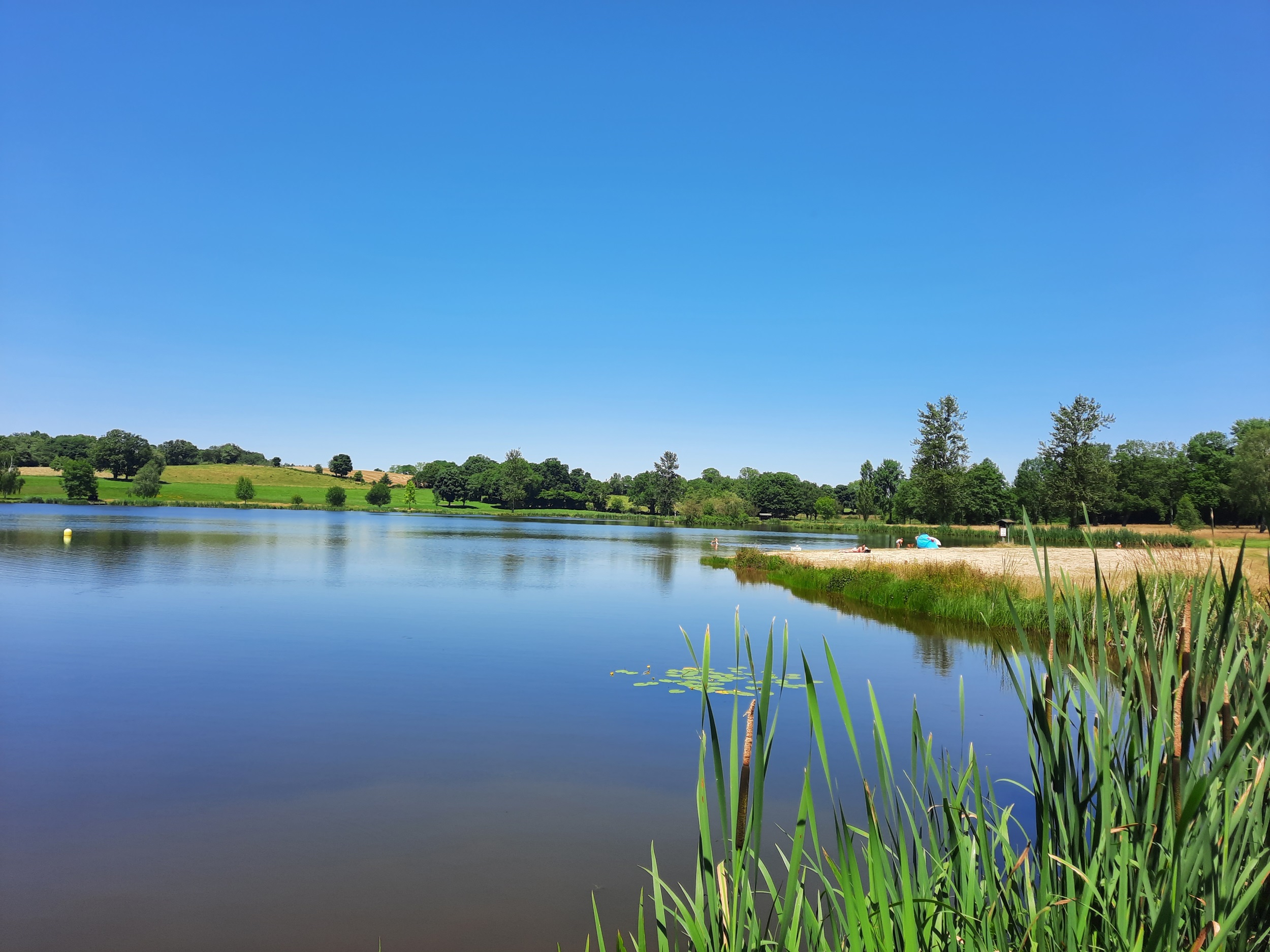
L'étang Philippe
Saint-Gervais-d'Auvergne
Tips
63390 Saint-Gervais-d'Auvergne
Puy-de-Dôme (63)
Informations complémentaires
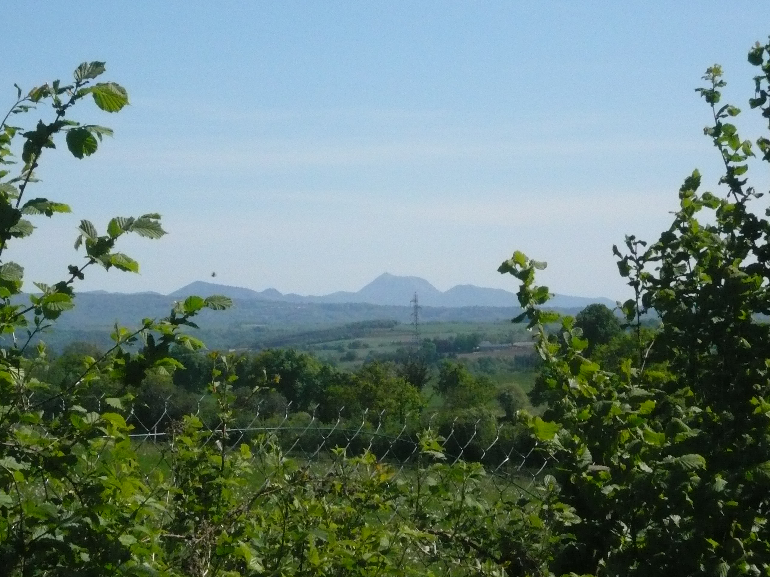
View of the Chaîne des Puys, the Sainte-Christine plateau, the Sioule gorges, the ruins of Château Rocher, the Blot l'Église plateau, the Bourbonnais mountains and the Sancy massif.
Guidebook with maps/step-by-step1/ From the start sign in front of the campsite reception, climb up to the D987. Cross the road and take the path opposite. At the first crossroads (view of the Chaîne des Puys) go straight ahead and at the next crossroads (view of the Sainte Christine plateaux) to reach a T-junction.
2/ Turn right. Ignore a small road on the right and go as far as the entrance to the village of Chazelette.
3/ Shortly after entering the village, turn right onto a wide track that runs for 1 km through a beech forest. Head uphill towards Sainte-Linge until you reach a tarmac track shortly before the village.
4/ Turn right along this road (with views of the Sioule gorges, the Château-Rocher ruins, the Blot l'Eglise plateau, the Montagne Bourbonnaise, the Chaîne des Puys and the Sancy massif) until you reach the D417. Follow the road to the left for 100 m, then take the first track on the right. Join a small road and continue straight ahead (view of the Chaîne des Puys) until you reach a crossroads.
5/ Turn right onto a wide track as far as Saint-Gervais d'Auvergne. Drive through the village, passing the church (Romanesque fortified church). At the crossroads after the police station, turn right onto the D987 towards St-Eloy-Les-Mines, then follow the first track on the left back to the starting point.
All year round.
Subject to favorable weather.
Free access.
Contact et accès L'Étang Philippe (à proximité immédiate du camping)63390 Saint-Gervais-d'Auvergne
Puy-de-Dôme (63)
Informations complémentaires

Ça peut vous intéresser

À proximité

SARL A&M Loisirs
Portier
Richardot
Serrandat Bruno
Boekelder
OT Combrailles
SARL Seguinard
Vincent Tiphine
Sarl A&M Loisirs
SARL Calignat
Verweij Ron
C. Zwart
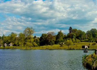
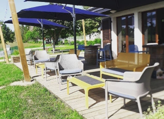
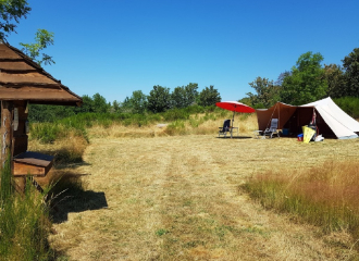
Campsite
Camping l’Étang Philippe
Saint-Gervais-d'Auvergne
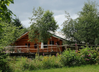
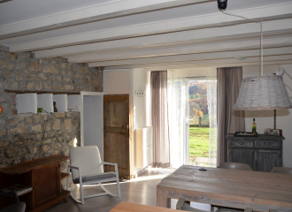
Unusual accommodation
Les Cabanes des Combrailles
Saint-Gervais-d'Auvergne
Shops
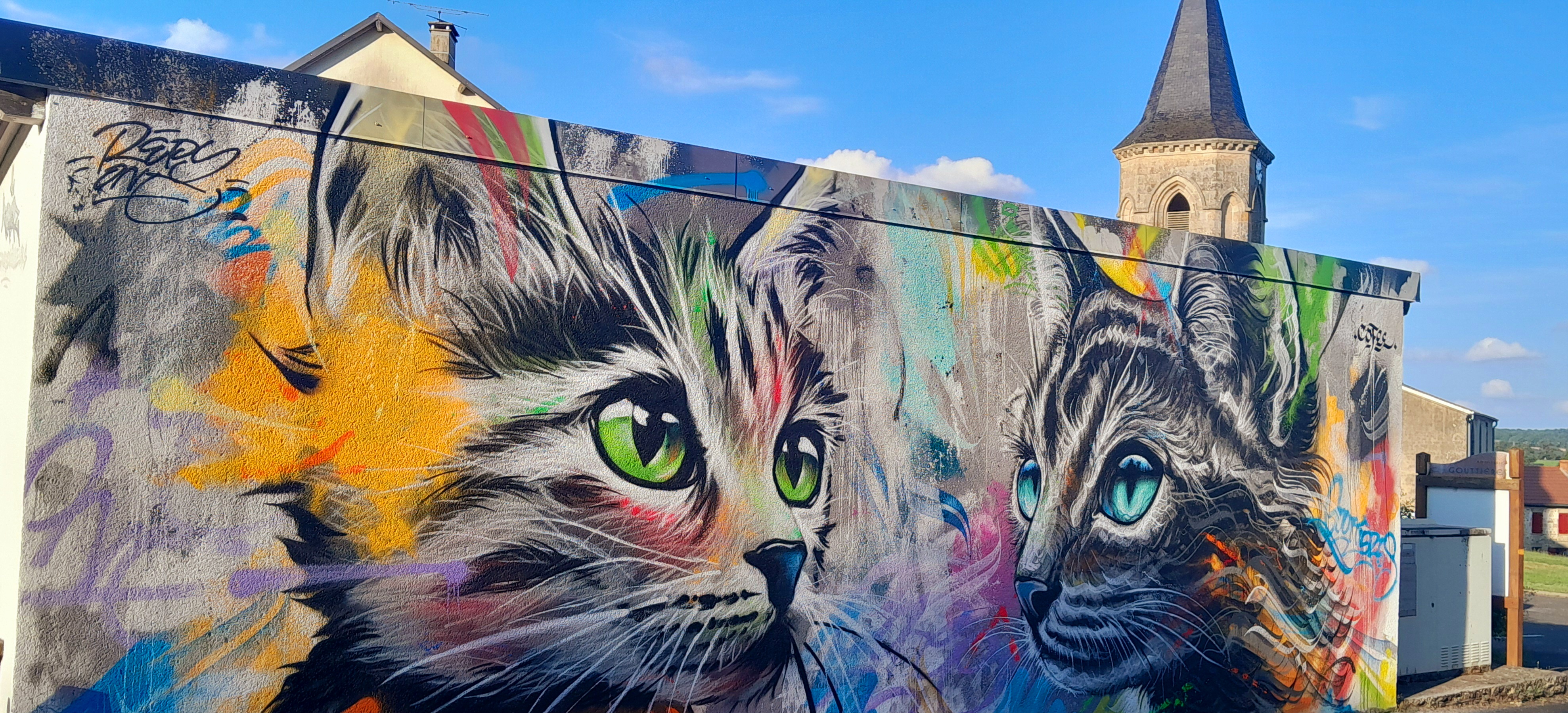
Gouttières – Village Cat Street Art
Gouttières
Museum
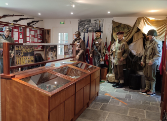
Museum of the Resistance – François-Charles Maestracci
Saint-Gervais-d'Auvergne
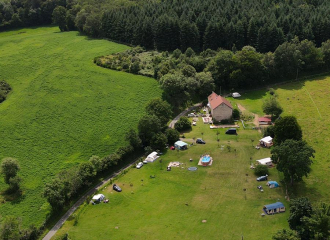
Campsite
Mini Camping La Chaize
Gouttières
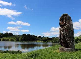
Interpretation Centre
Land Art Etang des Planches
Sainte-Christine
Traditional cooking
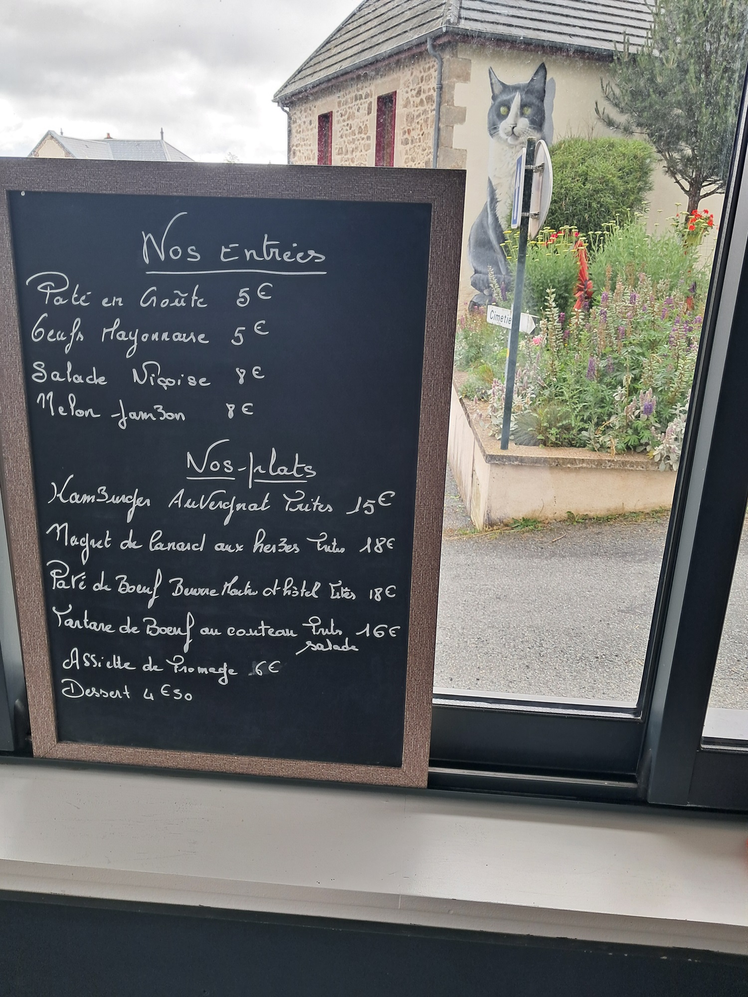
La Table de Gouttières
Gouttières
Museum
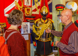
Guards’ House – Uniformes de parade de la garde royale britannique actuelle
Saint-Gervais-d'Auvergne
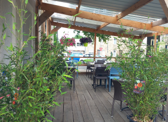
Fast food
Pizzeria de l’Etang Philippe
Saint-Gervais-d'Auvergne
Traditional cooking
Le Central
Saint-Gervais-d'Auvergne
Tourism campsite - natural site
Mini Camping – Domaine des Rêves
Gouttières
Furnished accommodation and Gîtes
Gîte la Faine
Saint-Gervais-d'Auvergne
