


Sport
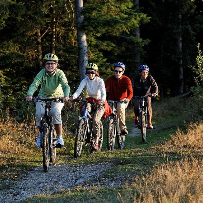
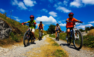
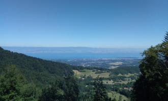
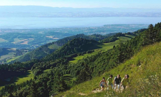
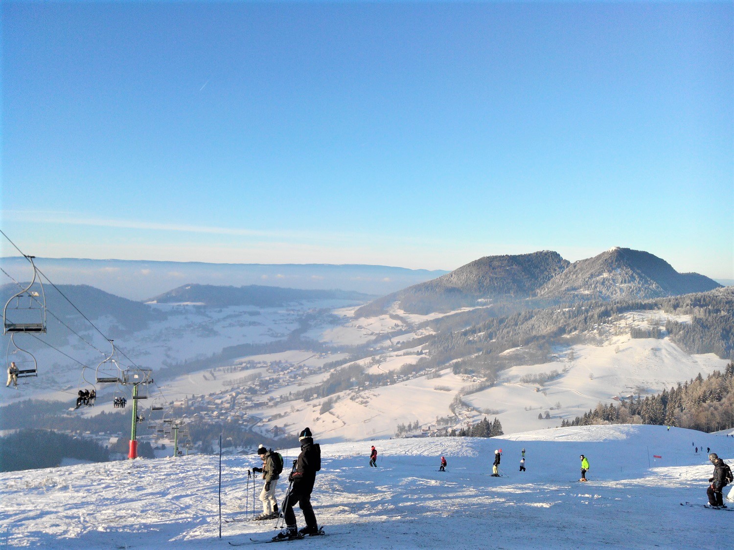
Les Moises Mountain Bike Trail
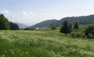
Plateau des Moises
Description
Plateau des Moises
74420 Habère-Poche
Haute-Savoie (74)
Informations complémentaires

Office de Tourisme des Alpes du Léman

Thomas Meynet
OT Alpes du Léman
OT Alpes du Léman
Distance: 6.2km
Duration: 1 hour
Difference in altitude: +100m
Altitude at departure: 1080m
Map reference: IGN TOP 25 - 3428 ET Map
Difficulty: leisurely
Signage: Wood panels
Take the Col de Cou departmental road for 200m then turn right. The path runs along the gliding piste, crosses the Plateau then twists and turns back down to the Forêt des Allinges. Venture into the forest and go back up to the Col des Moises departmental road. Cross the road and take the skid slope running behind a little chalet. Go through the forest and go back up the Chatillonnet forest road. Then go back to Col des Moises and end at the Foyer de ski de fond.
Du 01/04 au 31/10 : ouvert tous les jours.
TarifsFree of charge
Contact et accès Foyer nordique et de loisirs des MoisesPlateau des Moises
74420 Habère-Poche
Haute-Savoie (74)
Informations complémentaires
Ça peut vous intéresser
Les Moises Mountain Bike Hire
Habère-Poche
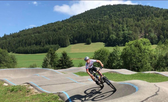
Pumptrack des Moises
Habère-Poche
Trail run 5 – Les Moises loop
Habère-Poche
Circuit Trail 6 – Grand tour du plateau des Moises
Habère-Poche
Circuit Trail 7 – Les Moises-Forchat
Habère-Poche
À proximité
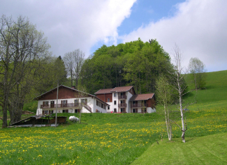
Foyer des Moises
Aroeven
Office de Tourisme des Alpes du Léman
OT Alpes du Léman
OTADL-G.Place
Boulangerie-Pâtisserie "Le Tiennolet"
LOCASKI
Boulangerie-Pâtisserie "Le Tiennolet"
Gîtes de France

Sporting activities
Stage multi-activités de 4 jours pour les 11-16 ans
Habère-Poche
Holiday centres
Centre de Vacances Aroeven
Bellevaux
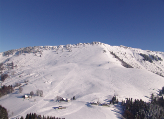
3 New winter sports resort
Les Habères
Habère-Poche
All inclusive
Promoski Stay Hirmentaz
Bellevaux
Sporting activities
Cours Aquagym
Habère-Poche
Sporting activities
Hirmentaz Alpine Private Ski Lessons
Bellevaux

Services
Boulangerie – Pâtisserie Le Tiennolet
Habère-Poche
Shops
Locaski
Bellevaux
Shops
Boulangerie – Pâtisserie Le Tiennolet
Habère-Poche
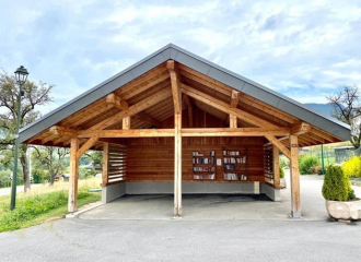
Cultural
L’Abri Livres
Habère-Poche
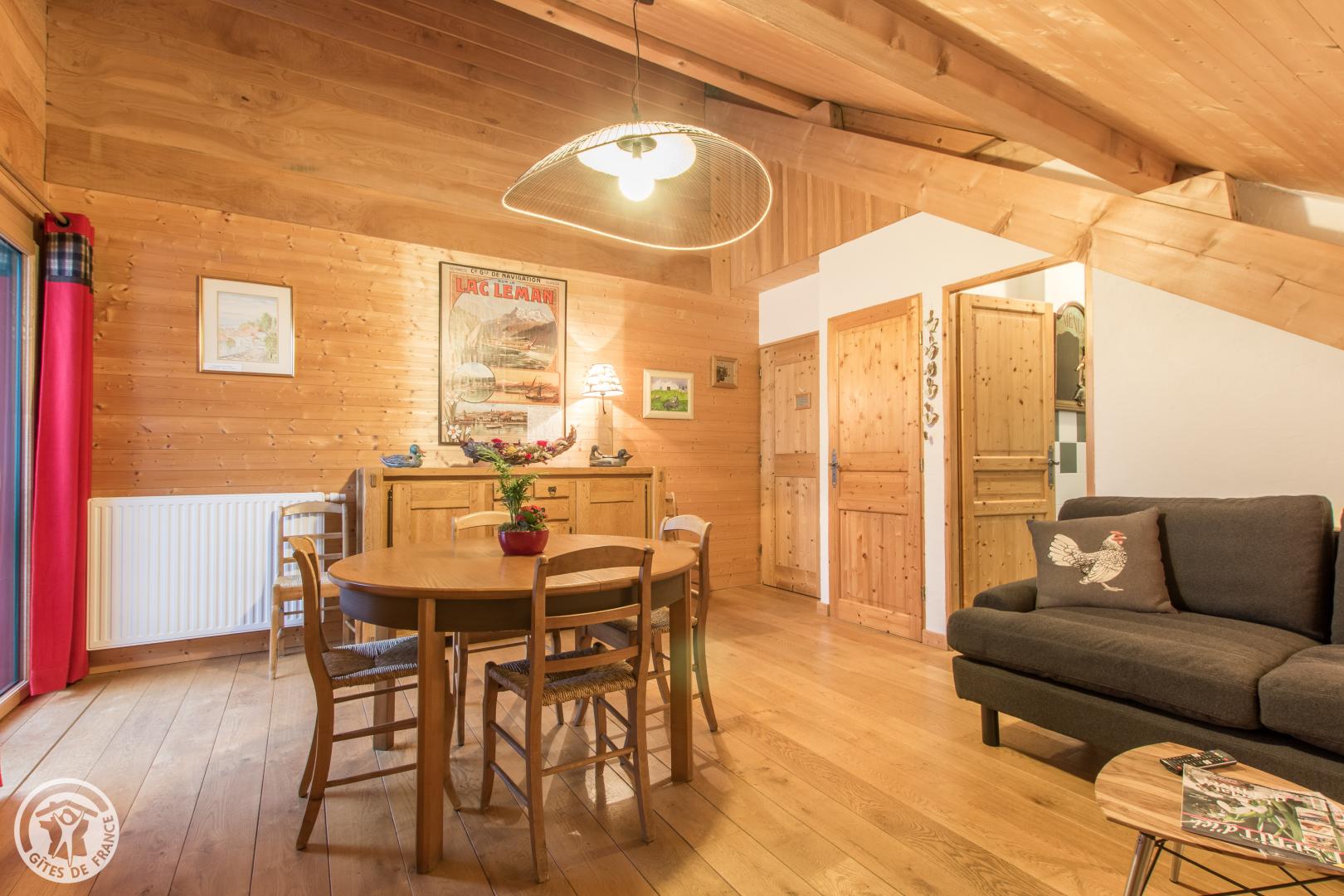
Furnished accommodation and Gîtes
Au Pré de la Basse – Le gîte
Orcier
Services
Place des Habères car park
Habère-Poche
