


Le Puy de Moufle
Bromont-Lamothe

Guidebook with maps/step-by-step
63230 Bromont-Lamothe
Puy-de-Dôme (63)
Informations complémentaires
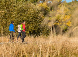
1/ From the church, head towards Lamothe. At the T-junction, turn left (view of the Chaîne des Puys). After the cemetery, turn right towards Lamothe. Follow the main road.
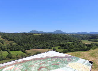
2/ At the fork, take the road on the right (unmarked shortcut on the left, signposted Chalusset). At the crossroads, turn left towards Puy de Moufle (climb to the top of Puy de Moufle, where there is an orientation table with views of Bromont-Lamothe, the Sancy massif, the Chaîne des Puys and the Anschald lake). Climb up onto the plateau (view to the left of the Sioule valley and the Combrailles) and continue as far as the crossroads.
3/ Turn left. Then head towards Pranal until you reach the first houses.
4/ At the stone cross dating from 1835, cross the road and take the path to the right of the cross. At the road, turn right to reach the Chalusset houses. À
At the T-junction, turn left onto the D418 and then, at the sharp bend in the road, take a track on the left. Climb through undergrowth. Continue until you reach the wide track and turn left. Cross the stream and keep to the right for 150 m.
5/ Continue left along an undergrowth path and stay on the main track as far as the plateau.
Turn left and then, 250 m further on, right (view of the Combrailles). At the road, turn left and follow the first track on the left. Turn left at the first house.
6/ Reach the D941, follow the double fence and turn left. Turn right at the barrier (view of Bromont-Lamothe and the Chaîne des Puys). Walk past the pond and turn left to get back to the start.
All year round.
TarifsFree access.
Contact et accès Impasse de l'Église63230 Bromont-Lamothe
Puy-de-Dôme (63)
Informations complémentaires

À proximité

Mairie
Voissier S.
Keris JEHL
Girard
Francois MERCIER
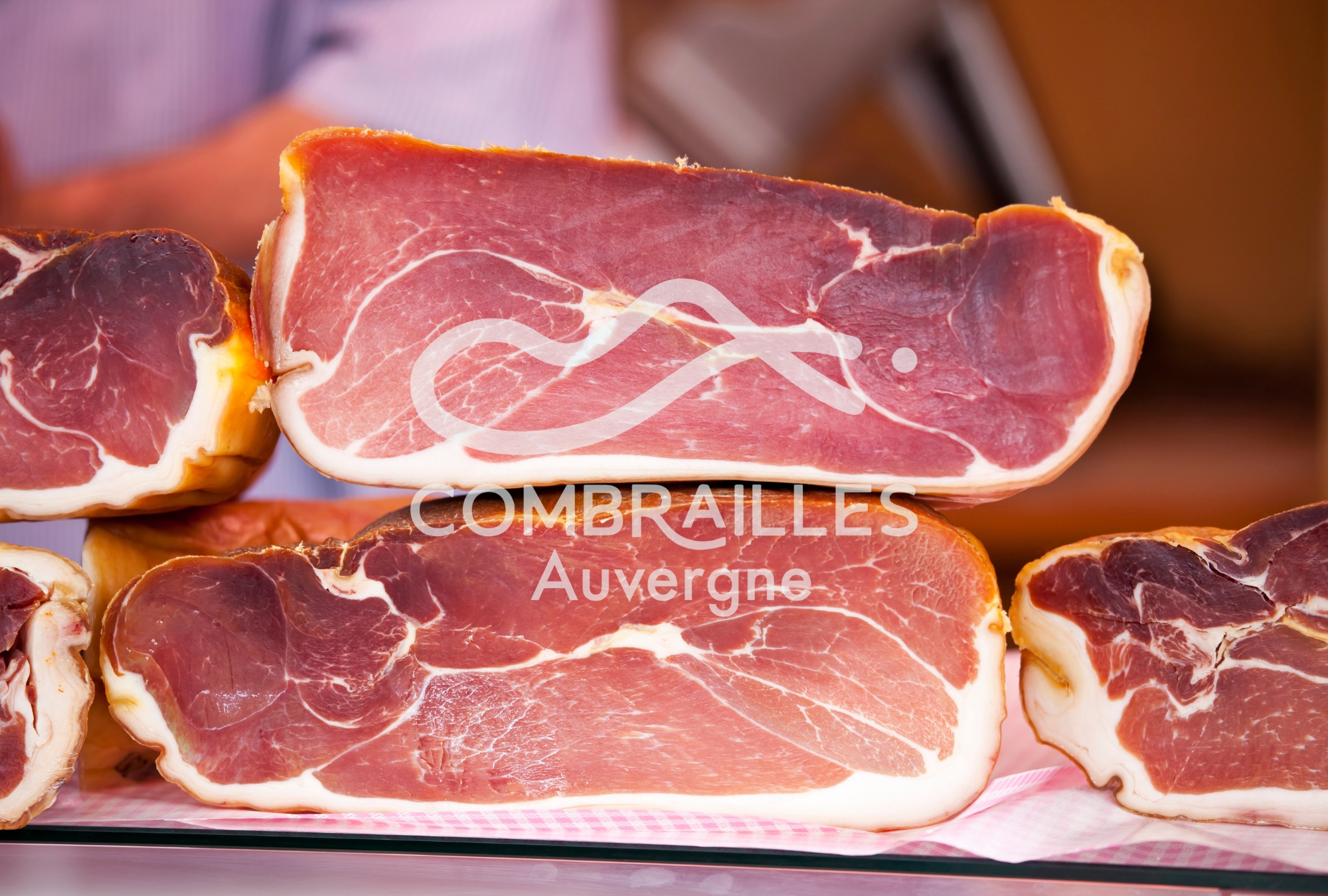
Fromagerie Morel
OT Combrailles
Romanet Agathe
Yourte Volcans
Vincent Tiphine Videos - OT Combrailles Auvergne
Château Dauphin
Canva
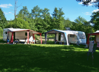
Campsite
Camping Municipal de la Palle
Pontgibaud
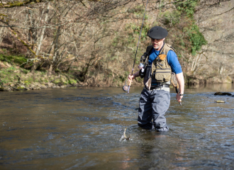
Service providers
Fishing guide – Stéphane Voissier
Pontgibaud
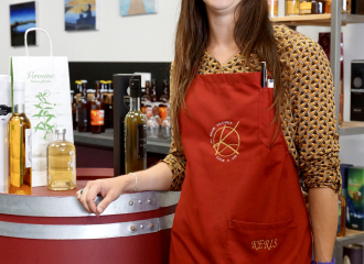
Shops
Au Grain Volcani’k
Pontgibaud
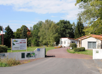
Campsite
Bel Air campsite
Saint-Ours
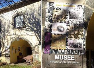
Museum
Museum of Silver Mines
Pontgibaud

Shops
Fromagerie Morel
Pontgibaud
Sport
Balade – Butte et Marais de Saint-Pierre-le-Chastel
Saint-Pierre-le-Chastel
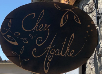
Traditional cooking
Auberge Chez Agathe
Saint-Pierre-le-Chastel
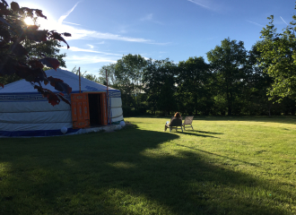
Unusual accommodation
Yourte Volcans
Montfermy
Sport
Multicache Geocaching – Butte et marais de Saint-Pierre-le-Chastel
Saint-Pierre-le-Chastel
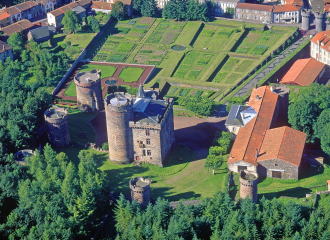
Historic site and monument
Castle Dauphin
Pontgibaud
Shops
Boucherie Charcuterie Vincent
Pontgibaud
