


Sport
Le Nid d'Aigle from Bionnassay
Haute-Savoie ()
Description
Haute-Savoie (74)
Informations complémentaires
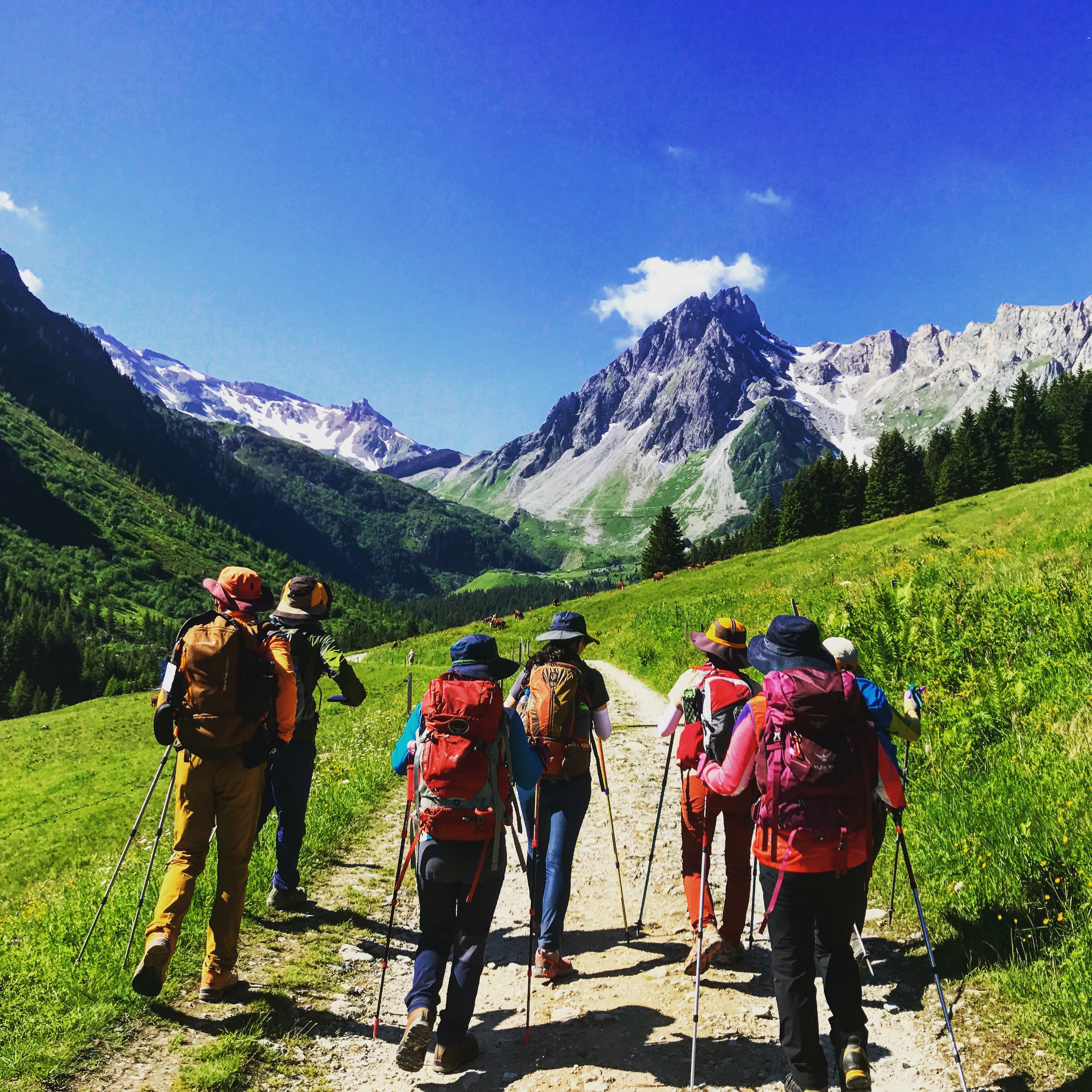
Starting from the charming village of Bionnassay, this hike takes you on a journey through the mountain's floors, offering a gradual immersion in the wilderness of the Mont-Blanc massif.
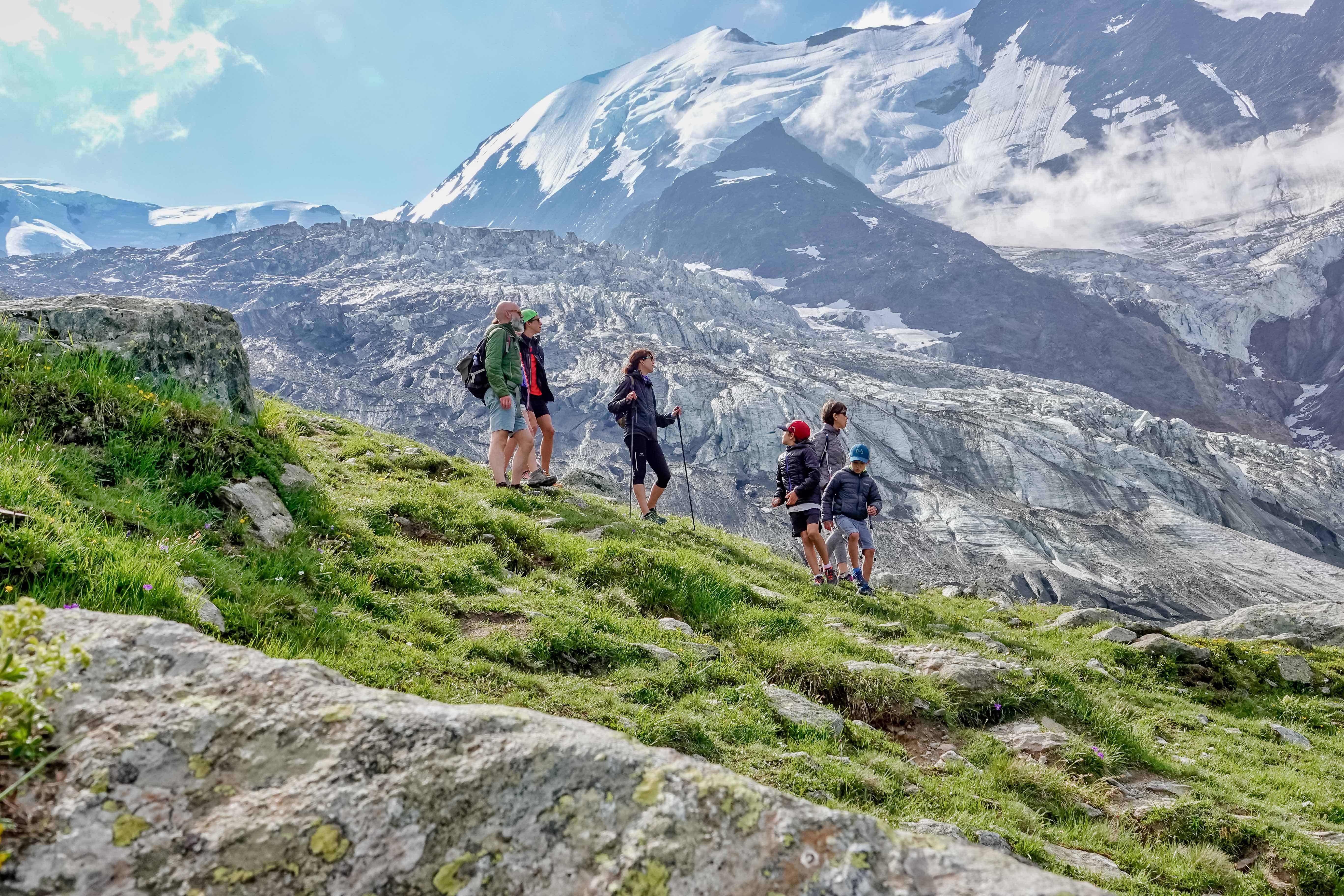
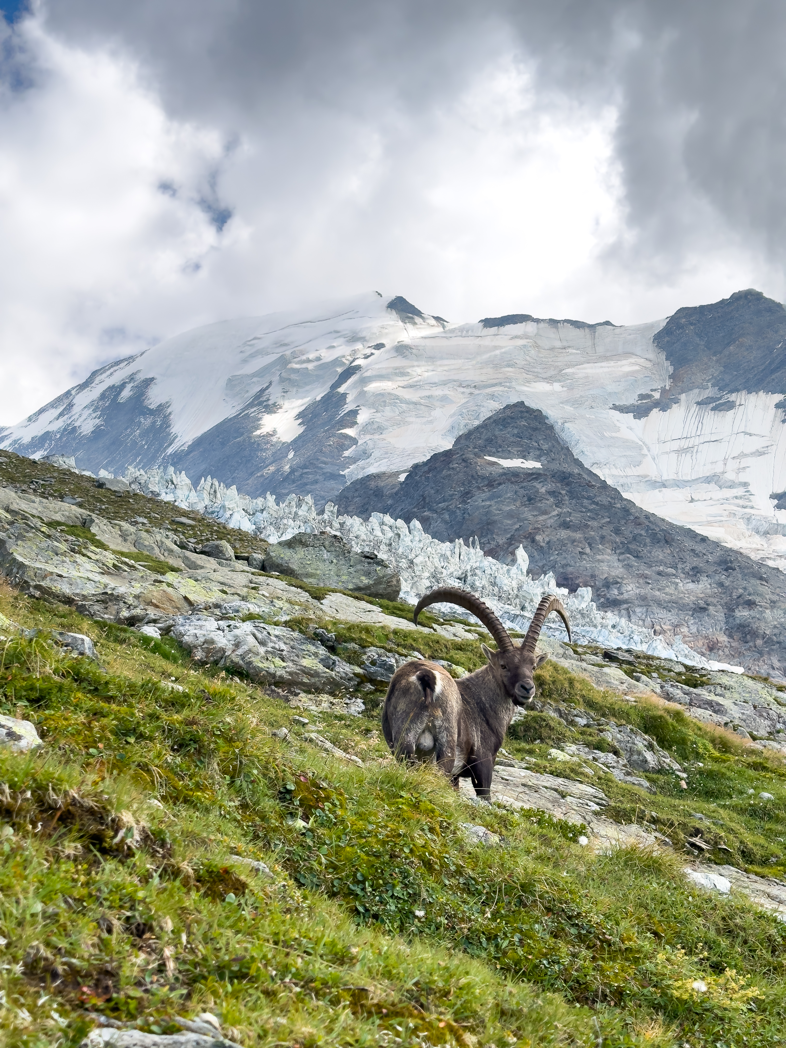
Departure is from the Crozat parking lot above Bionnassay. You soon enter a coniferous forest, where the air is fragrant with resin and the soft ground absorbs your first steps. The gentle ascent allows you to appreciate this peaceful atmosphere before reaching the high mountain pastures and meadows, where the horizon opens up and panoramic views of the Bionnassay glacier begin to unfold.
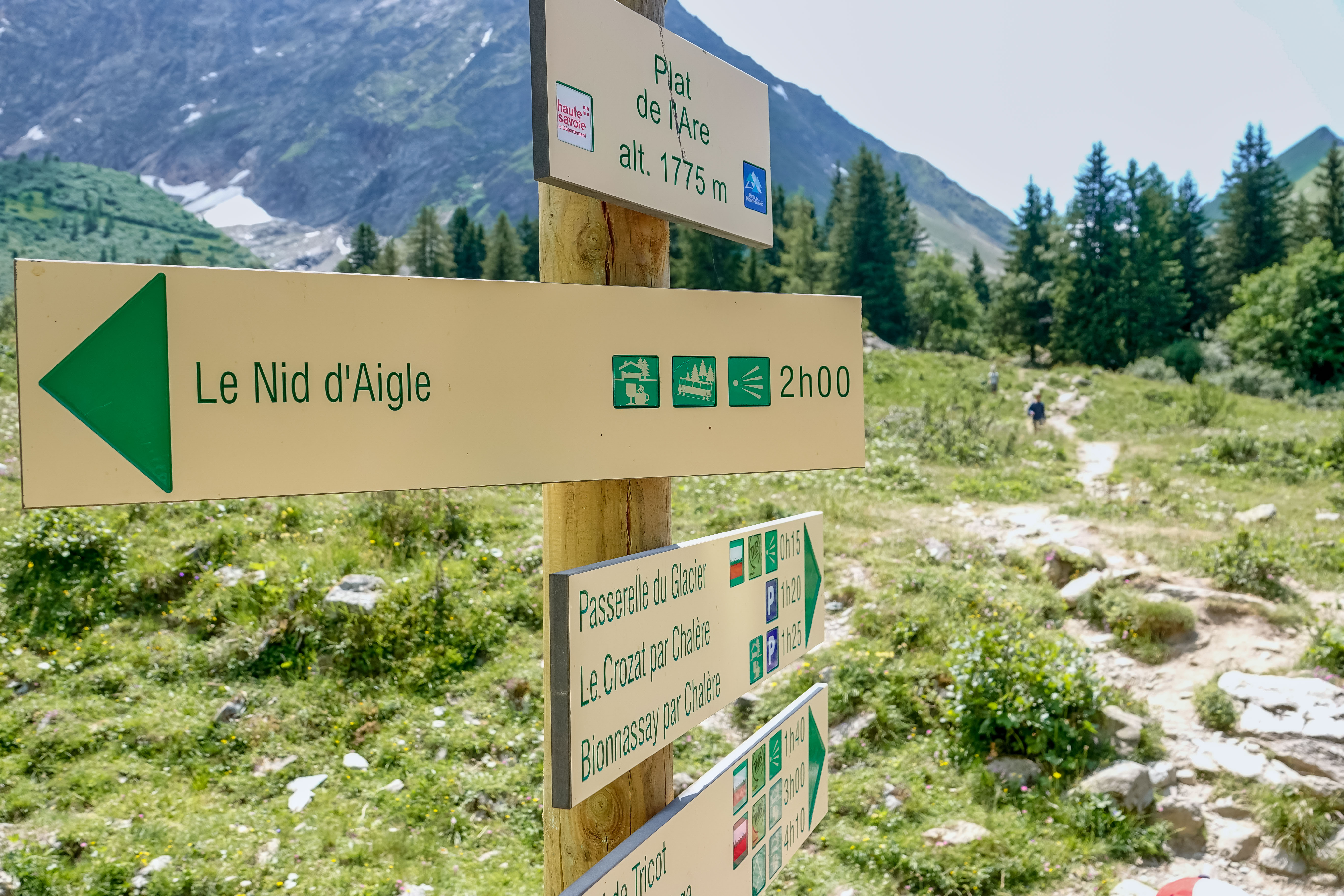
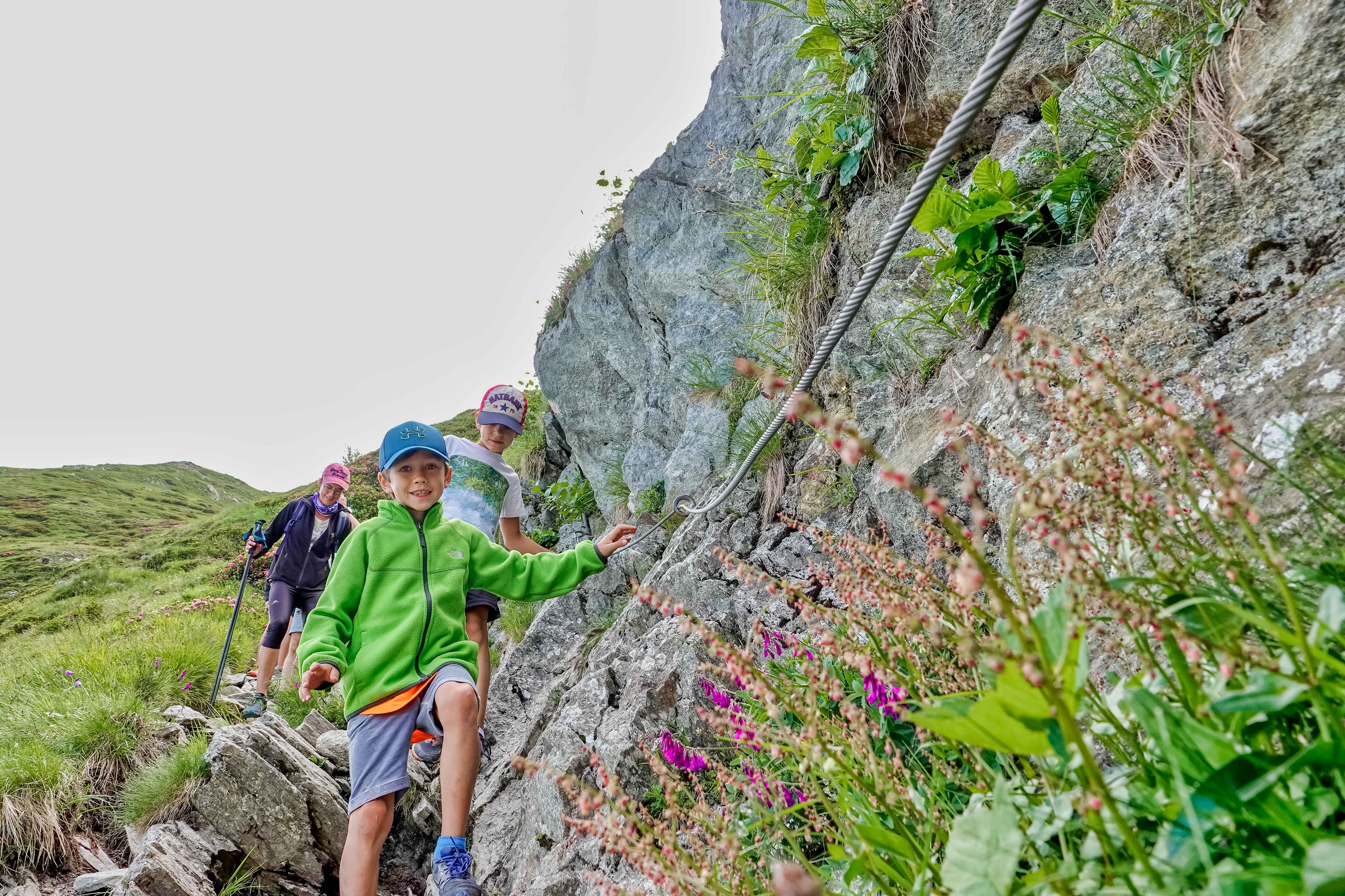
As you progress, the vegetation becomes sparser and the air cooler, reflecting the increasing altitude. You soon reach the Plat de l'Are, a clearing where you can see far into the distance, before entering the more mineral section of the trail. The climb becomes steadier, with the path winding under the imposing face of the glacier. A passage equipped with cables and metal stairs adds a playful, airy touch to this final ascent.
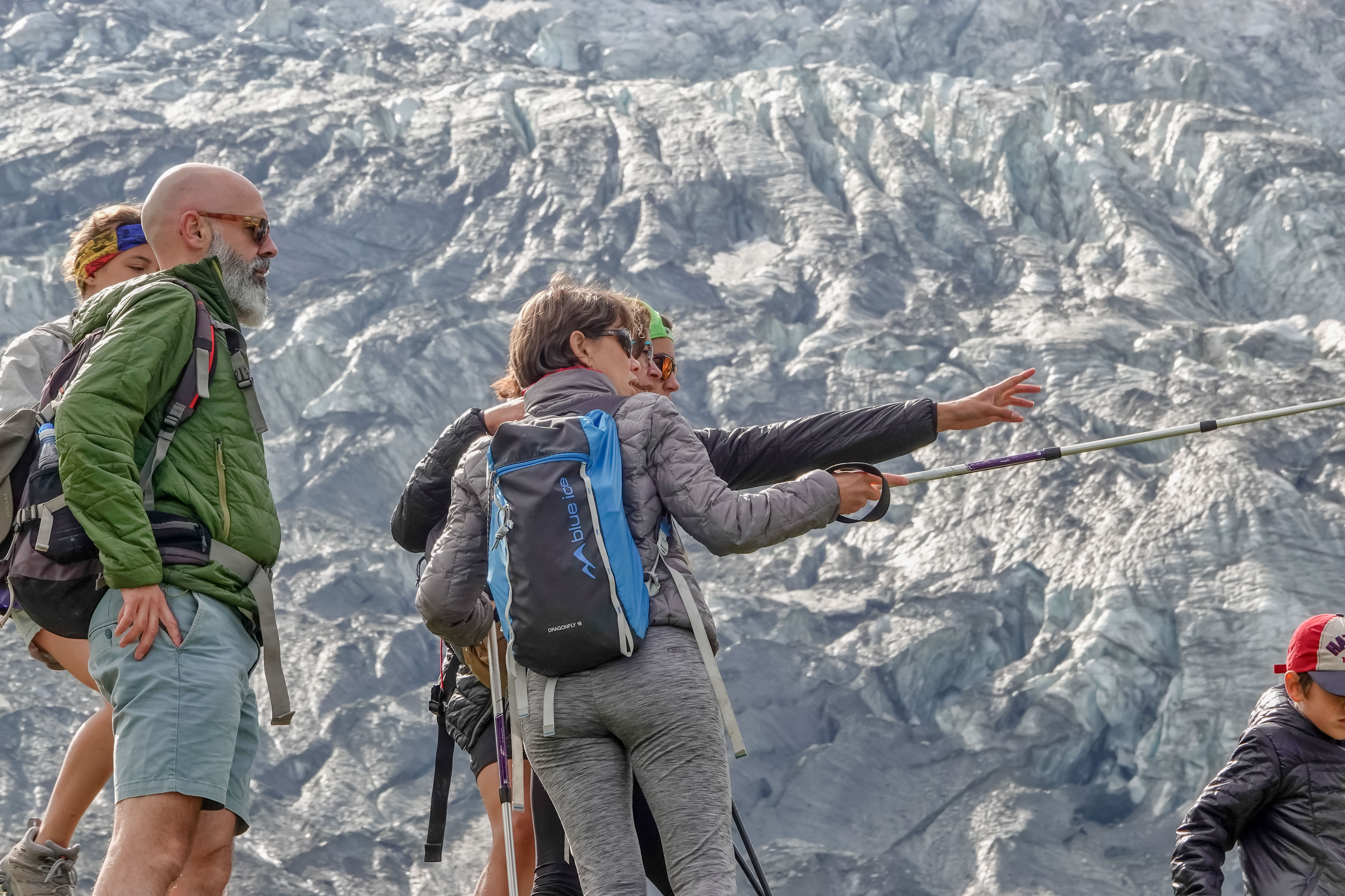
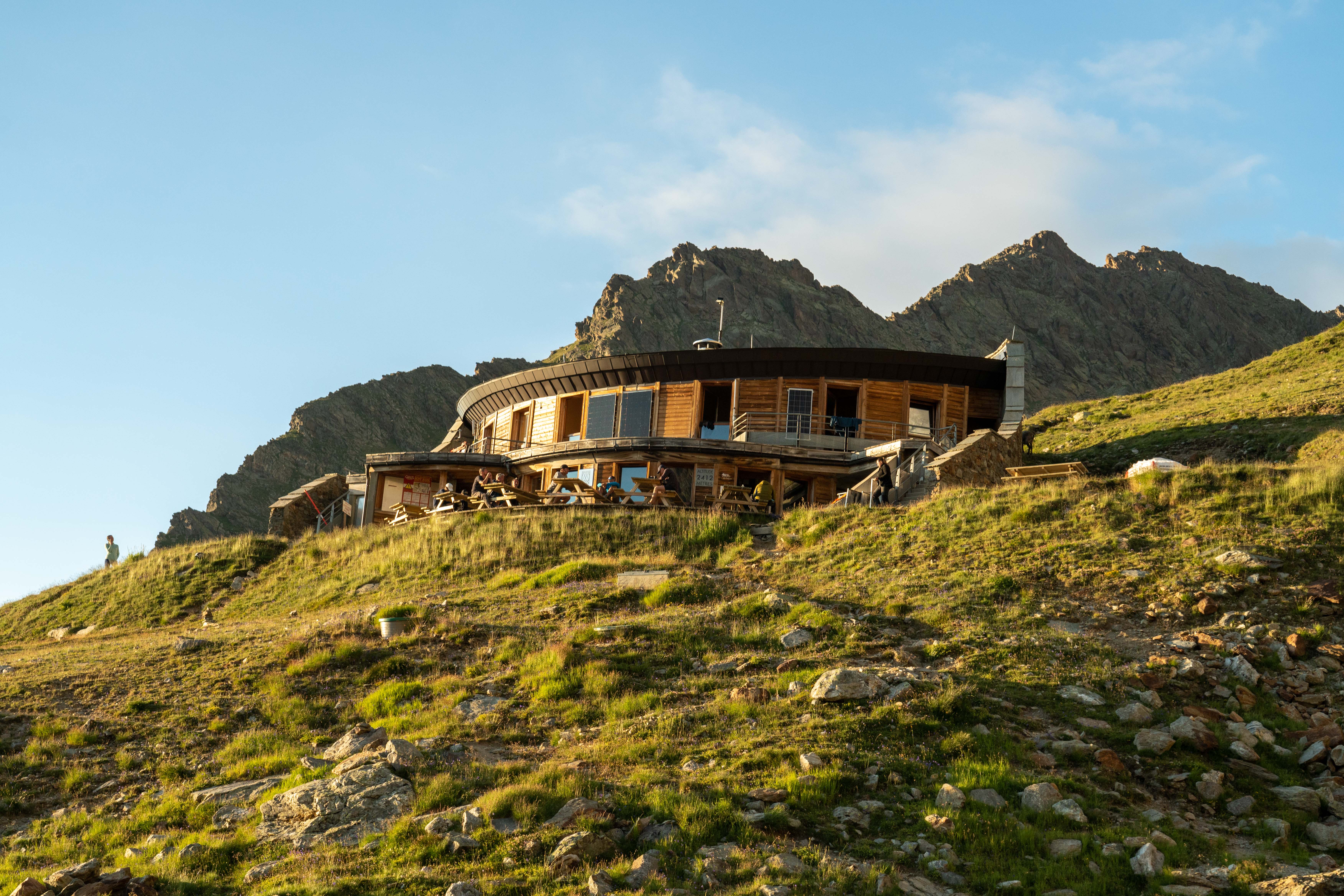
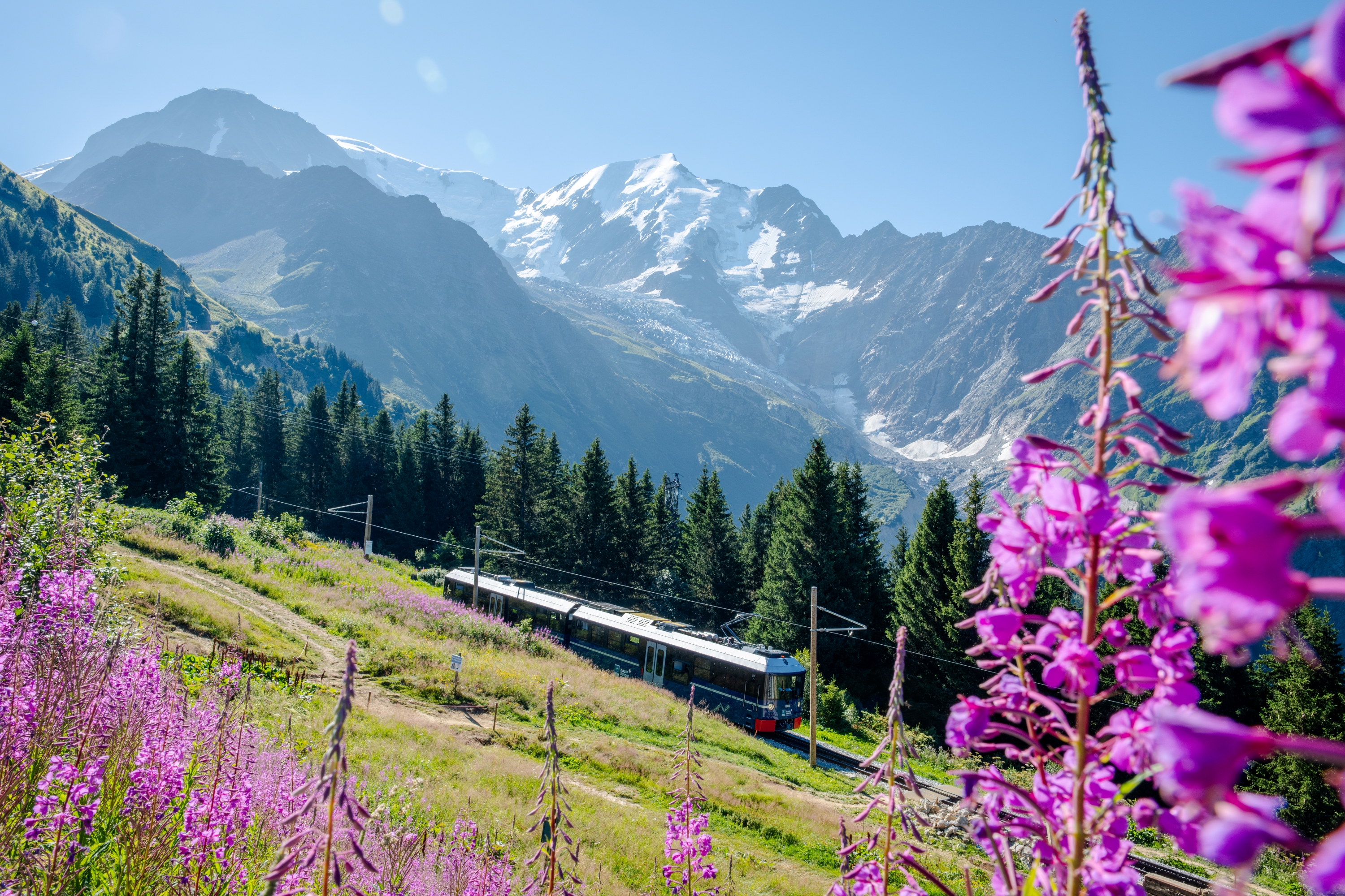
After around 3h15 of effort, you reach the Nid d'Aigle (2,372 m), at the gateway to the high mountains. This emblematic site marks the start of the royal Mont-Blanc route and the terminus of the famous Tramway du Mont-Blanc. The scenery here is breathtaking: the Bionnassay glacier seems within reach, and the surrounding peaks rise majestically before your eyes.
From 01/06 to 30/09.
Subject to favorable snow and weather conditions.
Payant si descente en TMB du Nid d'Aigle jusqu'au Col de Voza ou Bellevue.
Contact et accès 74170 Saint-Gervais-les-BainsHaute-Savoie (74)
Informations complémentaires

Ça peut vous intéresser

À proximité

Virage Montagne
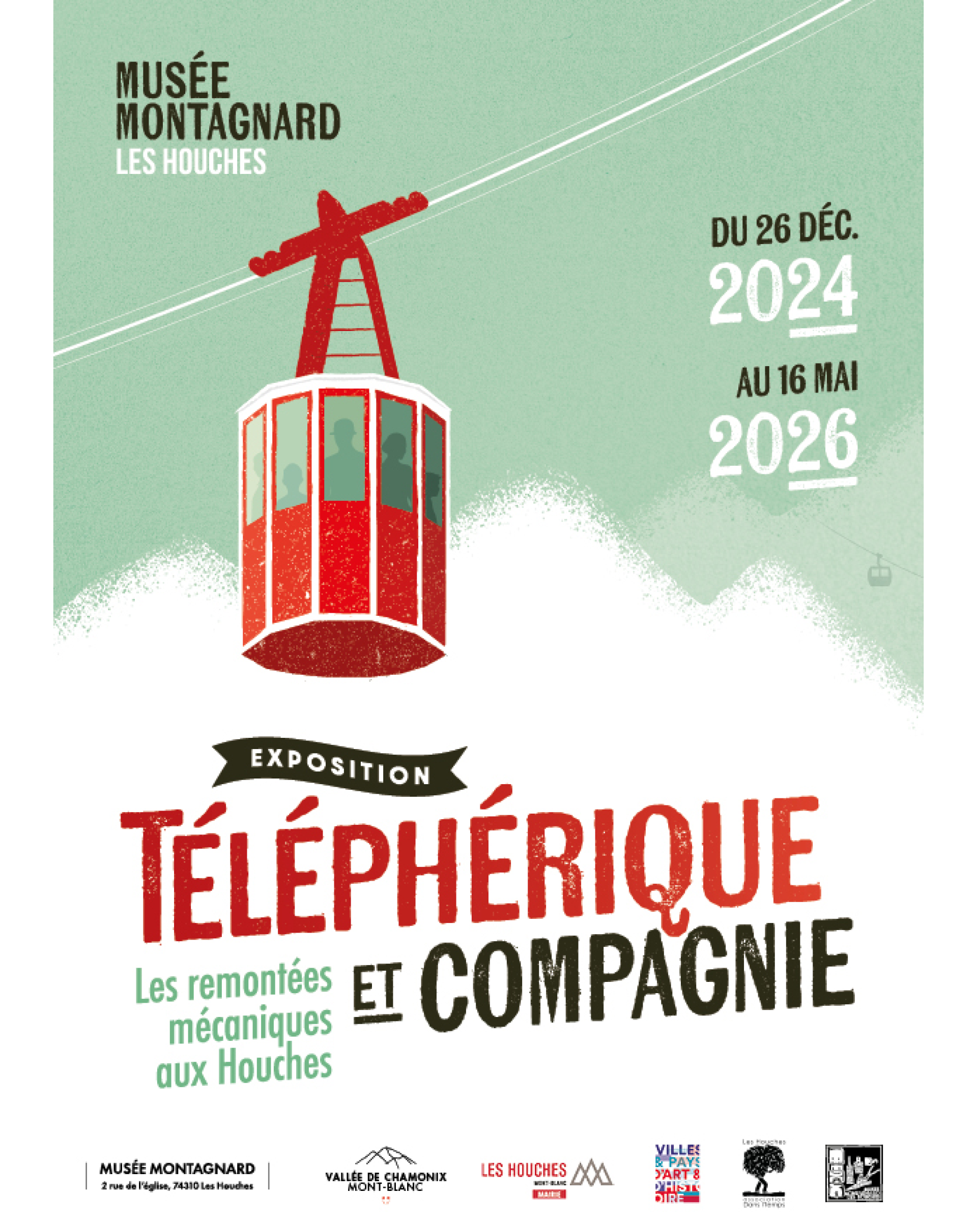
Musée Montagnard
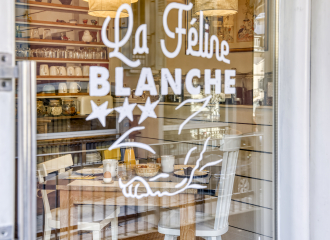
La Féline Blanche
OT Les Houches
St Gervais Tourist Office
Gîtes de France
Lenaka
Évènement terminé
Marina Favret
B. Molinier
L’Annexe
Saint-Gervais-les-Bains
Service providers
Virage Montagne – Mountain Leader
Saint-Gervais-les-Bains
Cultural
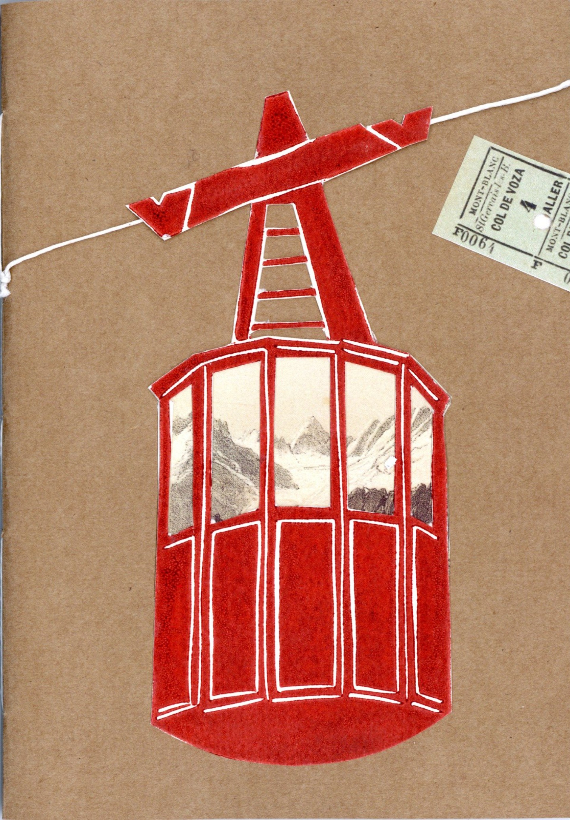
Visite guidée de l’exposition “Téléphérique et compagnie”
Les Houches
Hotel
Hôtel La Féline Blanche
Saint-Gervais-les-Bains
Furnished accommodation and Gîtes
Les Granges D’en Haut
Les Houches
Historic site and monument
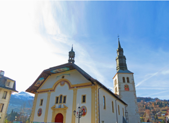
Saint-Gervais Church
Saint-Gervais-les-Bains
Group gîte
Gîte de séjour la Mélusine
Saint-Gervais-les-Bains
Leisure
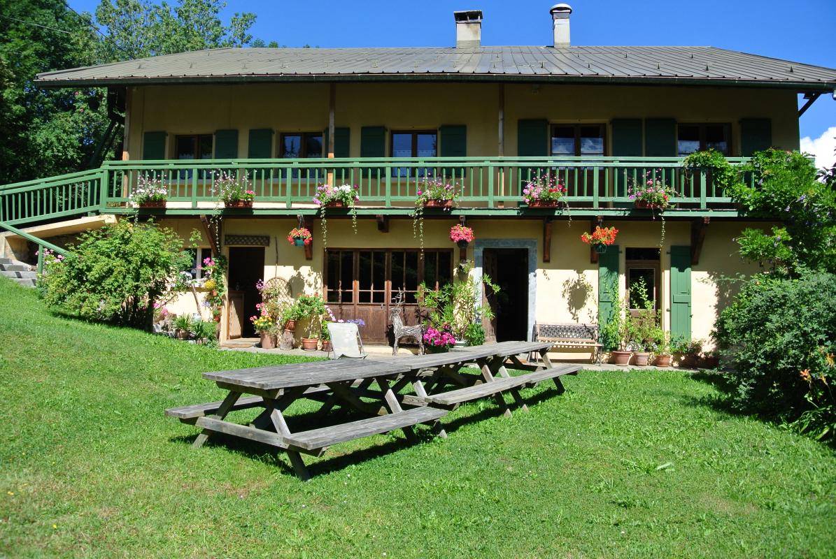
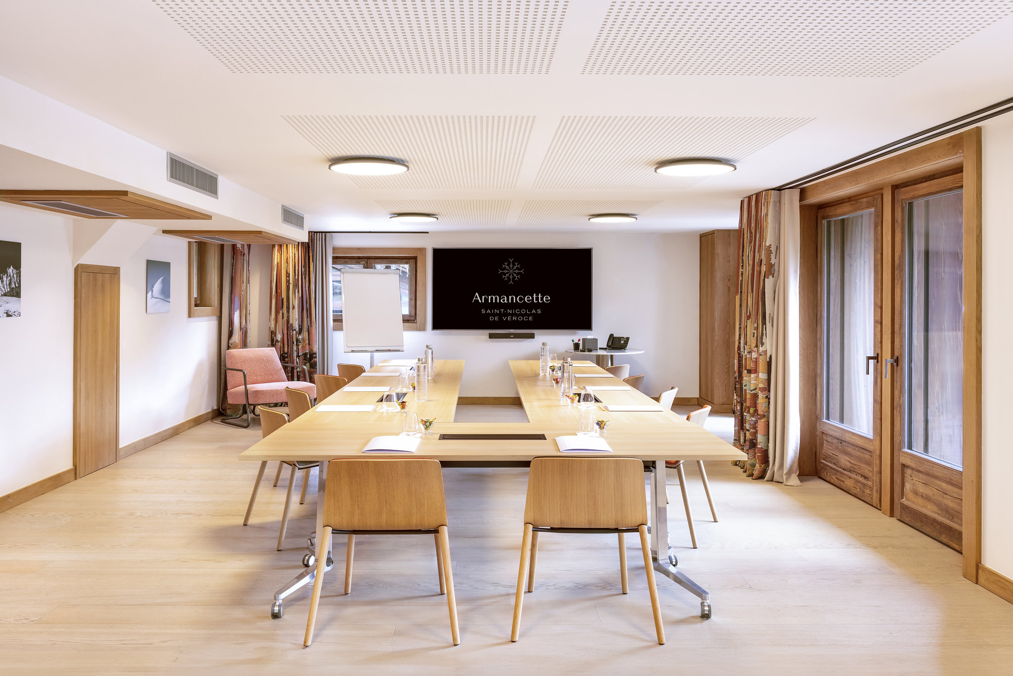
Salle de séminaire Hôtel Armancette *****
Saint-Gervais-les-Bains
Cultural
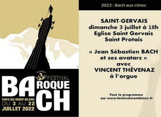
24ème Festival Baroque : Bach aux cimes – “Jean Sébastien Bach et ses avatars” avec Vincent Thévenaz à l’orgue
Saint-Gervais-les-Bains
Camper van service/reception area
Car Park: Camping Cars
Les Contamines-Montjoie
Cultural
Atelier : Bon voyage
Les Houches

Sporting activities
Swimming
Saint-Gervais-les-Bains
