Le Goutaroux
Saint-Martin-de-Clelles
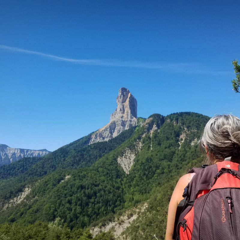
Quite a varied hike, with open sections offering views of Mont-Aiguille, refreshing sections in the north-facing forest and a final section over the Aubeyron ridges to the summit of Goutaroux.
Guidebook with maps/step-by-stepStart: Drive to the Trézanne parking lot. Start from the "Trézanne" signpost, near the chapel.
1) Follow the signs for "Seiterat", taking the track to the north.
2) From the "Seiterat" post, follow the path on the right which climbs steadily to reach "Les Brutinels" then "Les Sagnes" and finally the "Col de Papavet". Alternatively, take the forest track, which winds more gently.
3) At "Col de Papavet", follow the signs for "Le Goutaroux", taking the track that runs north-east. This track runs almost flat, and at its end leads to a pretty path on the right, which climbs steadily through the forest. The ascent is pleasant and you quickly gain height. Keep an eye out for yellow and green markings, as the route crosses other unmarked paths.
4) Leaving the forest, you begin to skirt the crests of the Aubeyron. Follow the path as it climbs, then crosses over and even drops back slightly before the short final climb to the summit of Goutaroux.
Return by the same route.
All year round.
TarifsFree access.
Contact et accès Trézanne38930 Saint-Martin-de-Clelles
Isère (38)
Informations complémentaires
Ça peut vous intéresser
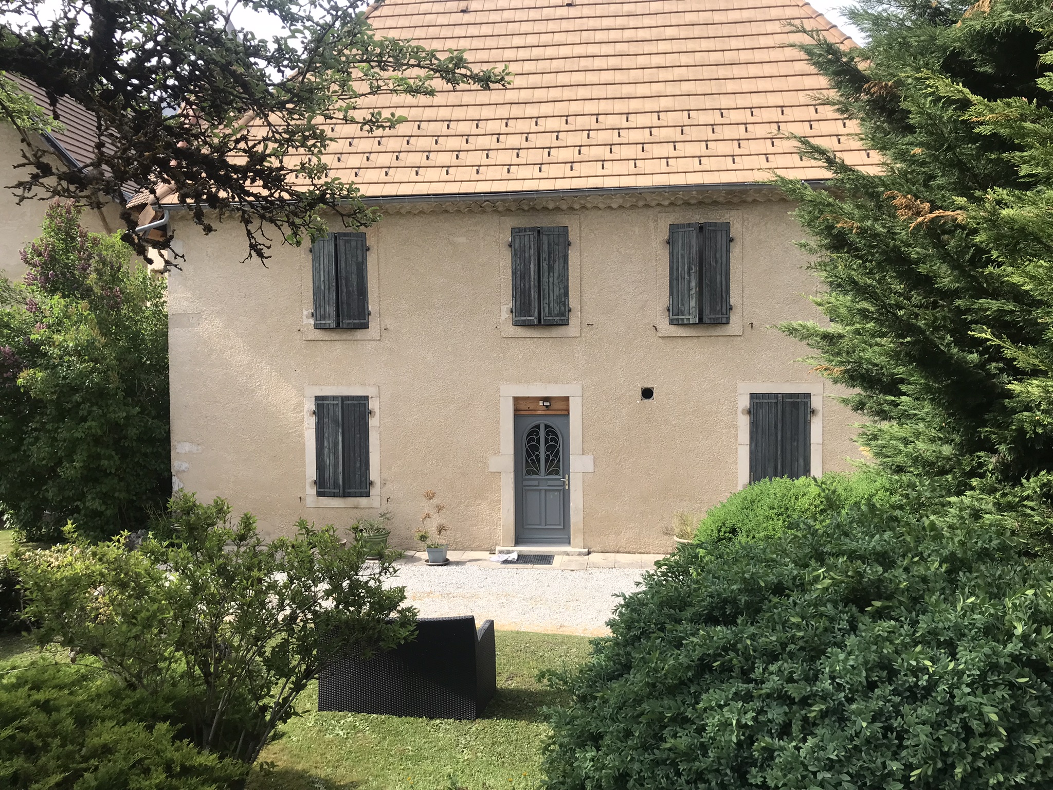
Le Cottage de Passières
Via ferrata avec Destination Canyon
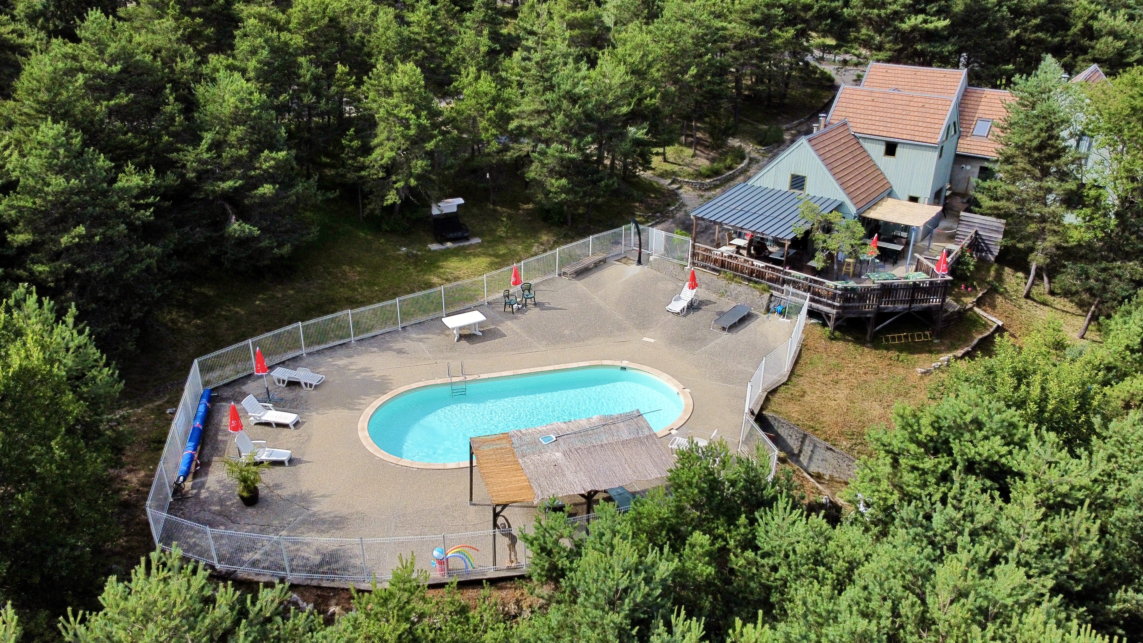
Camping la Chabannerie
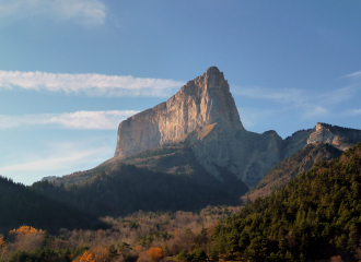
Grand Tour du Mont Aiguille – Randonnée accompagnée
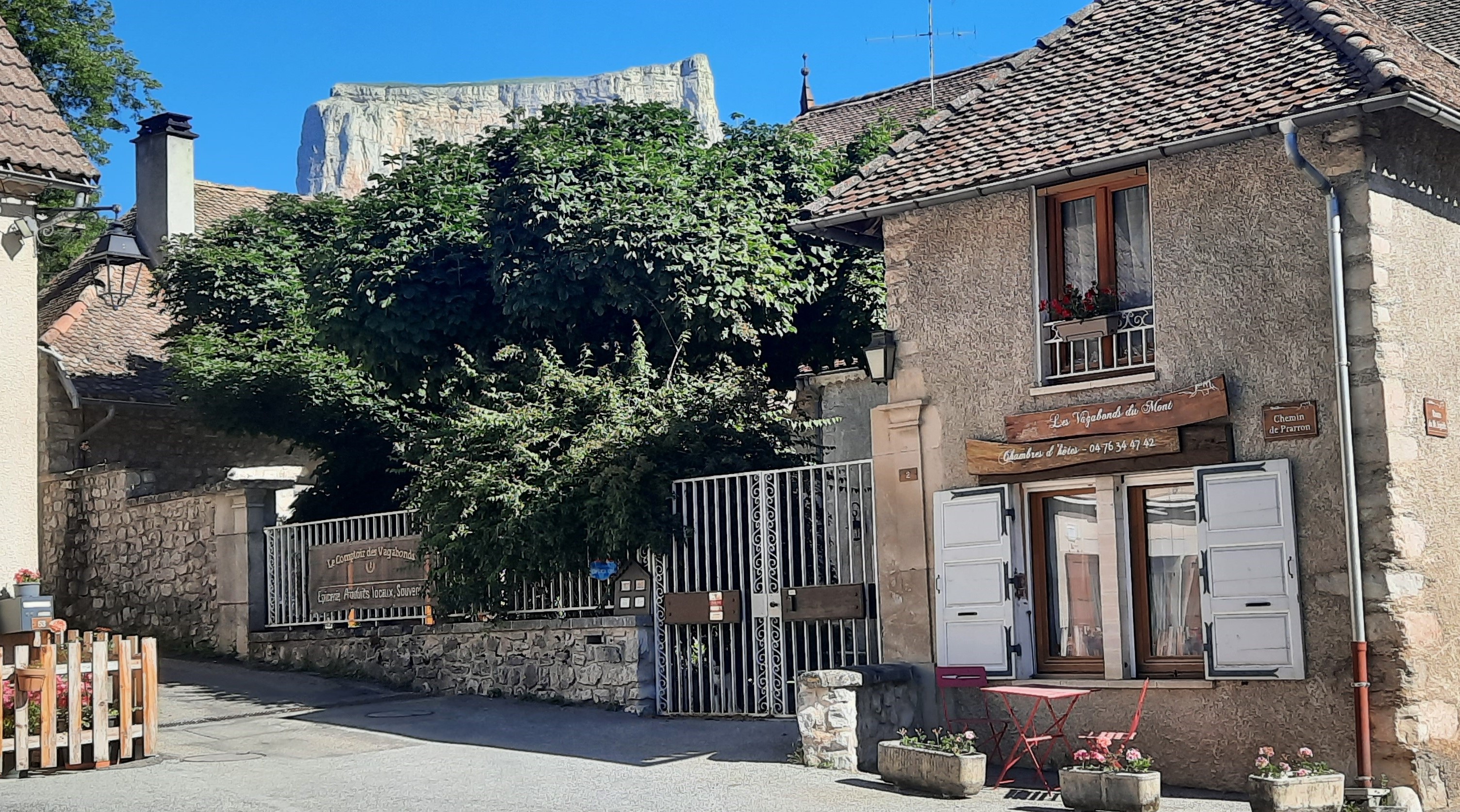
Gîte des Vagabonds
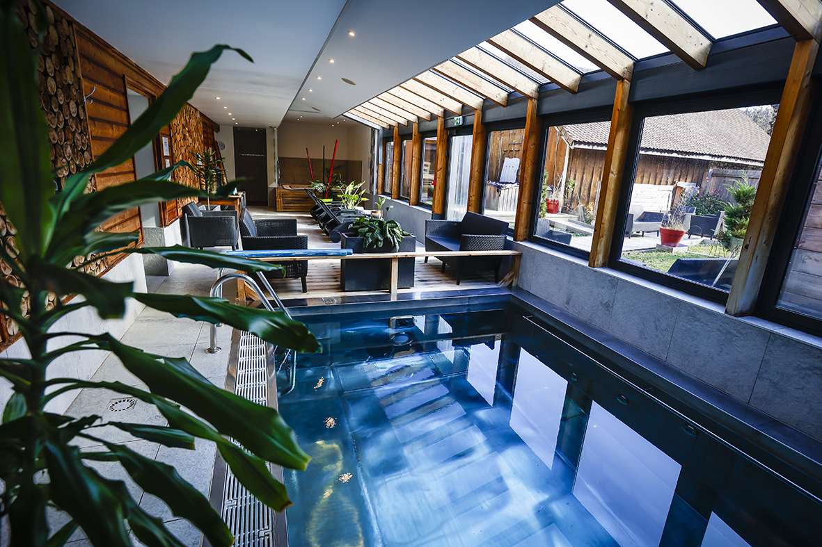
Espace bine-être “Au Gai Soleil du Mont-Aiguille”
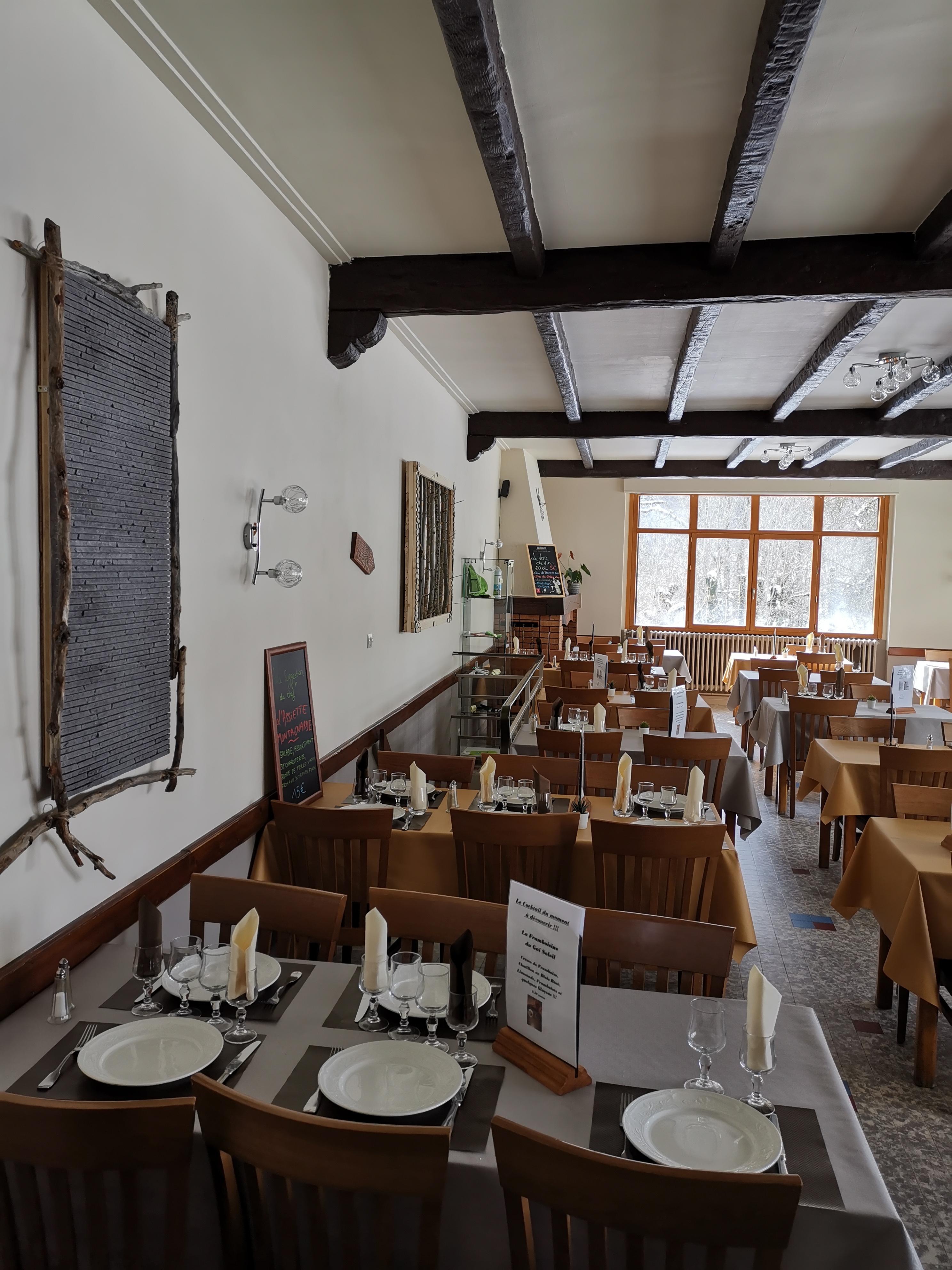
Service traiteur Au Gai Soleil du Mont Aiguille
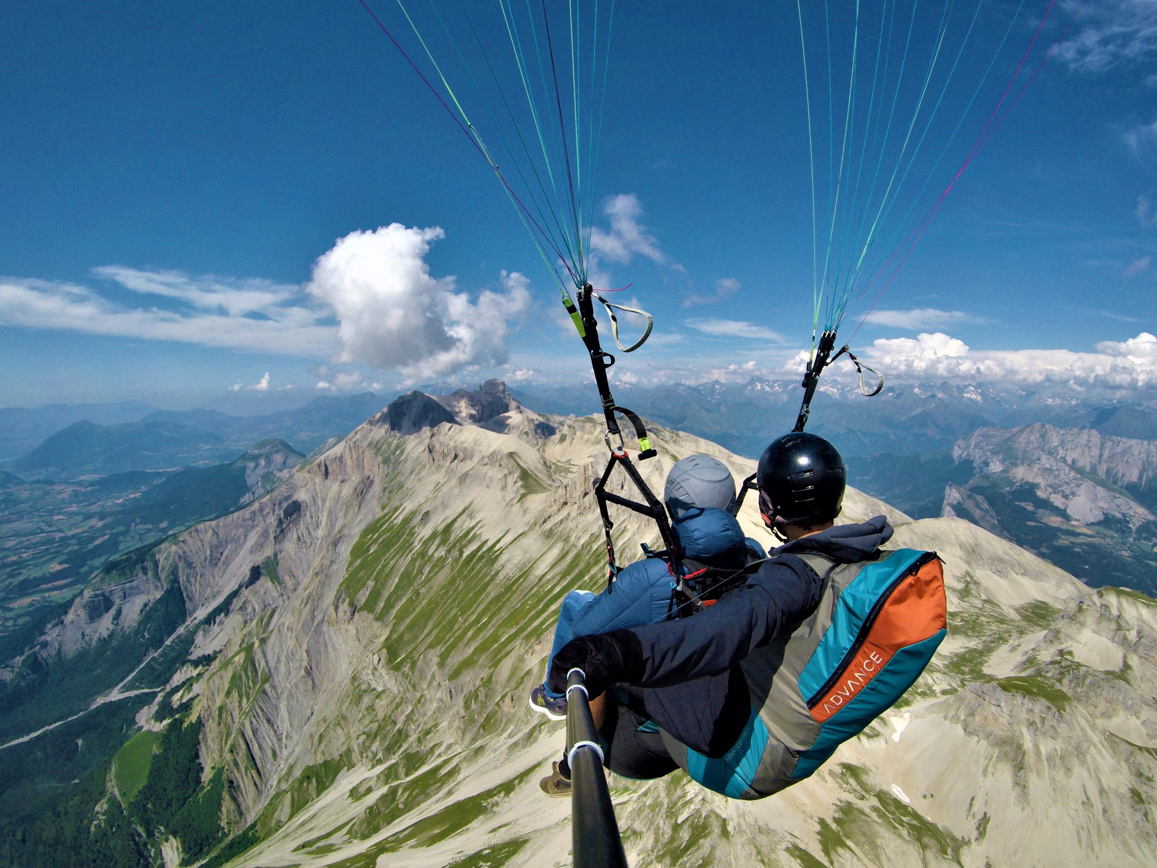
Is’Air Parapente
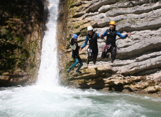
Canyoning avec les Guides du Mont Aiguille
Château de Passières
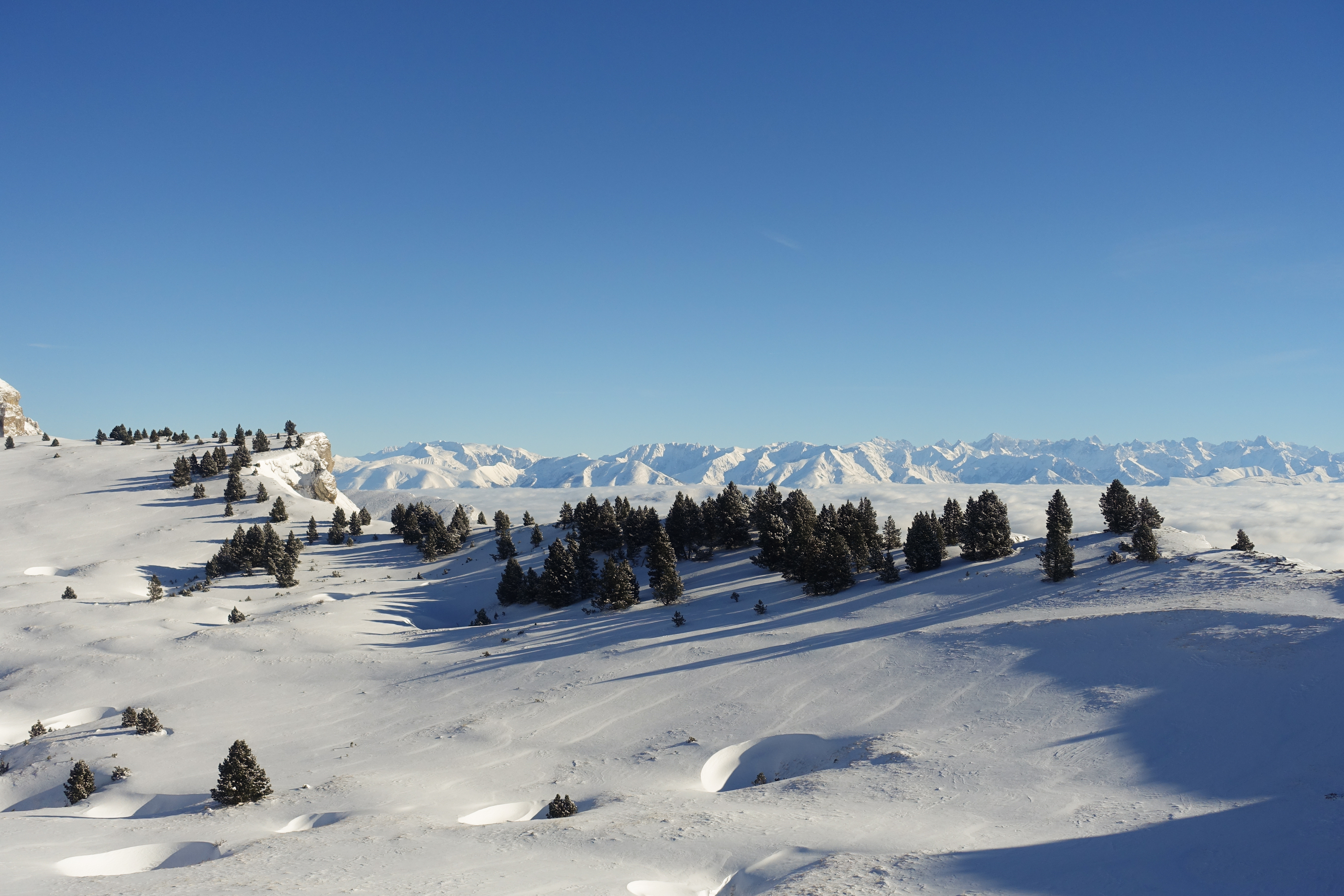
Nuit en igloo dans le Vercors


