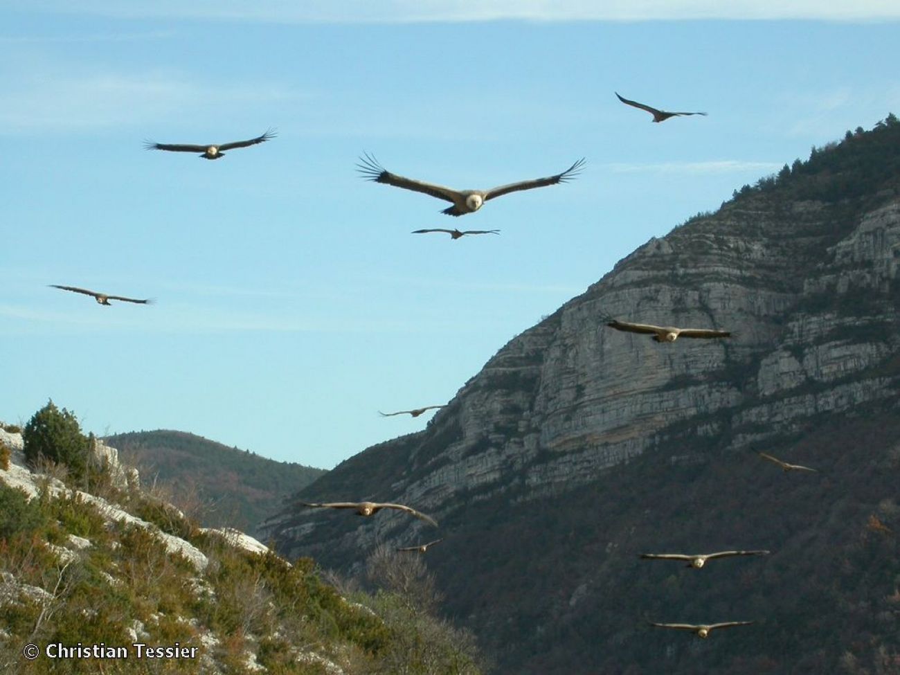
Le col de Staton
Drôme ()

The Col de Staton is the gateway to the great outdoors! Pastoralism is still widely practiced in the Baronnies. On this hike, there are numerous signs that sheep and goats regularly graze
on the slopes of the mountain, amidst the high-altitude grasslands. A Groupement Pastoral has been set up in Staton, enabling farmers to join forces to collectively develop their pastoral areas and preserve the Baronnies' long-standing livestock farming tradition.
Warning: some herds are protected from predation by guard dogs (Patous in particular). Dogs are not allowed on this route, even on a leash. Please respect the work of the shepherds; don't pass in the middle of the flocks, and leave their living quarters intact.
Departure point: Village of Verclause - Car park by the cemetery in the old village (beware of winding, narrow roads).
1. Take the track leading down opposite the cemetery towards the Col de Staton at the "Vieux village alt. 590 m" post. Reach the "La Croix alt. 565 m" post and stay on the main left-hand track, cross the ford and climb back up to the bridge over the Riousset stream.
bridge over the Riousset stream. Follow the road to the right for 40 m.
2. At the crossroads, at the "Pont du Riousset alt. 555 m" post, stay on the rightmost road (Chemin de Chatus) and climb up, staying on the main road.
3. After climbing for 1 km, take the left-hand track at the "Chemin de la Reynière" sign. Do not go straight on towards the hamlet of Chatusse. Follow the track up to the "Chatus alt. 660 m" sign and head for the Col de Staton. Continue up to the "Col de Staton alt. 1139 m" sign.
4. Follow the main track downhill towards Serre Bernard and Montrond. Possibility of climbing to the crests and Pas de Pousterle 1 h, 250 D+ and 2 km A/R.
5. On the plateau, at the "Serre Bernard alt. 1105 m" sign, continue straight ahead on the main track towards Col de Lemart and Montrond, always staying on the leftmost track.
6. At the end of a large bend to the left, at the "Col de Lemart alt. 910 m" post, leave the main track for the track leading straight down to Rémuzat.
7. At the "Cabane de Clermont alt. 780 m" post, continue on the left-hand track towards La Poirière. Reach the trail junction at "La Poirière alt. 807 m".
8. Take the path to the left (east) through the pines towards Rosa and Verclause. Be careful to take the "flat" path and not the track on the left which descends. The path becomes narrower as it rises through the pines. It turns right (south) and runs on a balcony before levelling out on the other side and continuing straight ahead. Follow the signs. Enjoy the view of the village of Pelonne on the opposite slope.
9. At the "Rosa alt. 900 m" junction, cross the track and go straight on towards Verclause. Pass two gullies and reach a fence.
10. Turn left towards the cliff, skirting the pasture and passing the ruin and a twisted old oak tree.
11. Change slope with view of the Rosanais, cross the meadow, reach a first grassy track which descends and leads to a larger track. Follow it downhill to the tarmac road.
12. Take the road to the left, reach the La Lèche farm and, after a few hairpin bends, rejoin the Riousset road junction from the outward journey.
13. Return to the parking lot along the same route as the outward journey.
A little extra: Don't hesitate to discover the Montrond Sensitive Natural Area by returning along the "Passagers du Mont" discovery trail (more info at the tourist offices and on the Place de Verclause).
All year round.
TarifsFree access.
Contact et accès 26510 VerclauseDrôme (26)
Informations complémentaires


