Le bois de la Garde
Pionsat
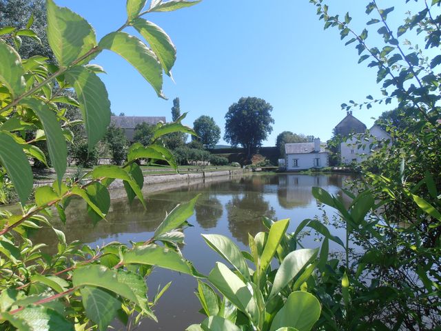
1/ On the opposite side of the square from the town hall, go down the stairs, turn left, then left again on rue de l'Amourette. 150 m after the bridge, turn right. Follow a pond to the right, and at the crossroads, continue right to a road (iron cross). Follow it up to the middle of Le Puy.
2/ Turn left, then left again. At the fork after the hamlet, continue downhill to the left. At the T-junction, turn right, then, 150 m further on, left onto a grassy track. At the first houses in La Farge, continue right on the tarmac road. At the T-junction, turn right and continue to a stone cross at the junction with the D525.
3/ Turn right, passing the hamlet of Les Ebrières on your left. At the fork in the road, at the “clean spot”, leave the road and turn left up a tarmac, then grassy path leading directly to a T-junction. Turn right, then immediately left to reach the D227. Cross it, go right for 70 m and climb the track on the left. At the next crossroads, go straight ahead. Go straight on, ignoring the adjacent tracks, until you reach the road. Cross it and go straight on. At the antenna, go straight on to the crossroads.
4/ Go up on the left, then leave a track on the right. At the next crossroads, go straight on, ignoring the side paths, then at the bottom of the descent, go alongside farm buildings. After the house, continue straight on for 600 m until you come to an intersection with a side track on the left.
5/ Take this track as far as the D525. Follow the road to the left for 600 m. After a wood, at a fork in the road, take the wide track on the left. Go downhill (view of the Combrailles) to a fork just before the first house in La Cellette.
6/ Turn left, then immediately right on a grassy track (old railroad), cross a road and, 30 m further on, just before an old gatekeeper's house, turn left, then immediately right. Continue to the T-junction in Les Ruas. Turn left down a road leading to a T-junction. Keep left until you reach the D227. Go straight ahead, through Les Fayes and, passing the château, back to the starting point.
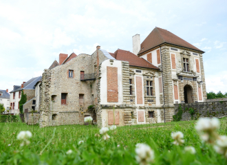
- The castle.
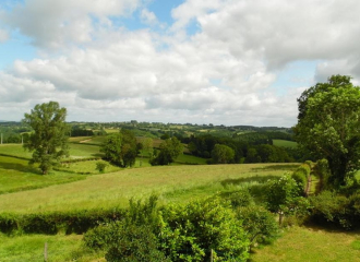
- View of the Combrailles.
- An old railway bridge.
All year round.
Subject to favorable weather.
Free access.
Contact et accès Parking - Église63330 Pionsat
Puy-de-Dôme (63)
Informations complémentaires

Taverne de la Halle

La Cocotte du Château

The Grain of the Combrailles
Le Lavarat
Balade à Saint-Hilaire
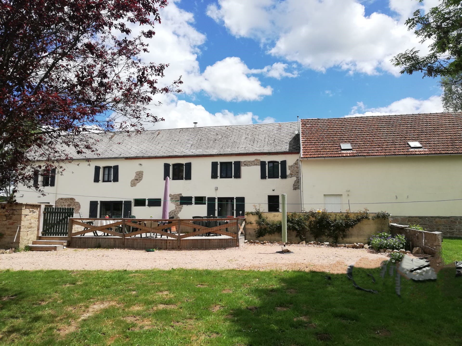
Chambres d’hôtes À la Bonne Heure
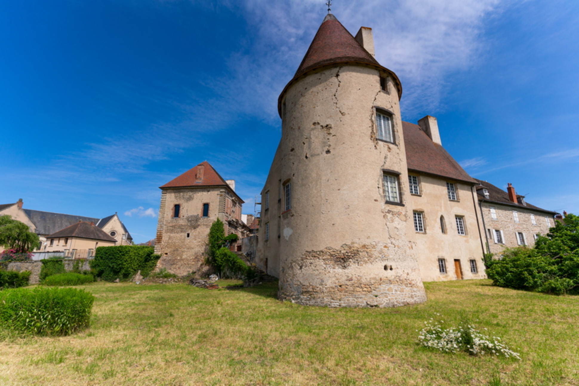
Multicache Geocaching – Le secret de Pionsat
Gardens of Saint Maigner
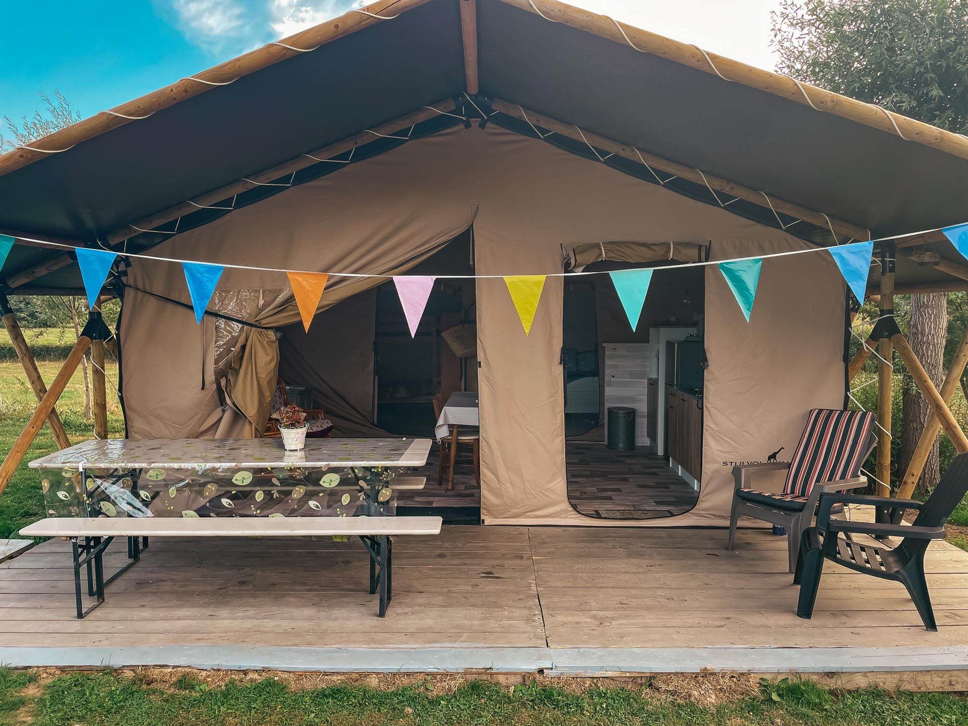
Mini camping À la Bonne Heure
