La ronde du méandre au viaduc
Queuille
1/ From the start sign, walk down into the village for 200 m, until you reach the Chemin des Coudiots on the right.
2/ Take this path and go down into a beech forest. At the T-junction, turn left, then left at the fork. Follow this path up the hillside. After a steep climb, go down to the right. At the fork, turn left and, after 30 m, continue uphill to the left. At the end of the wood, turn right onto the road and reach Montfaucon. Turn right into Rue des Hirondelles and take the first track on the left.
3/ Take this road and turn left at the first junction. Leave a track on your right and go straight up. At the crossroads, go straight on to the junction at the top of the hill.
4/ Turn right. At the road (viewpoint over the Combrailles plateau), turn right as far as Puy-Gilbert. At the entrance to the village, turn left onto the Chemin des Cures. Take the first turning on the right. At the first crossroads, go right and back for 20 m (view of the Fades viaduct and dam), then go left. At the end of the wood, go right for 150 m and back (view of the Fades viaduct and dam), then continue uphill. On the plateau, ignore a track on the left and continue as far as a T-junction.
5/ Take the road to the left and, at the next crossroads, turn left. After 300 m, take the track that descends to the right, leading back to the crossroads at point 3. Turn right. At the crossroads, continue straight ahead. At the next crossroads, go straight ahead into Rue du Lavoir (wash-house on the left). At the crossroads, turn left and continue straight ahead towards the start sign (30 m further on, you'll see a view of the Queuille meander).
- The Combrailles countryside.
- View of the Fades viaduct and dam.
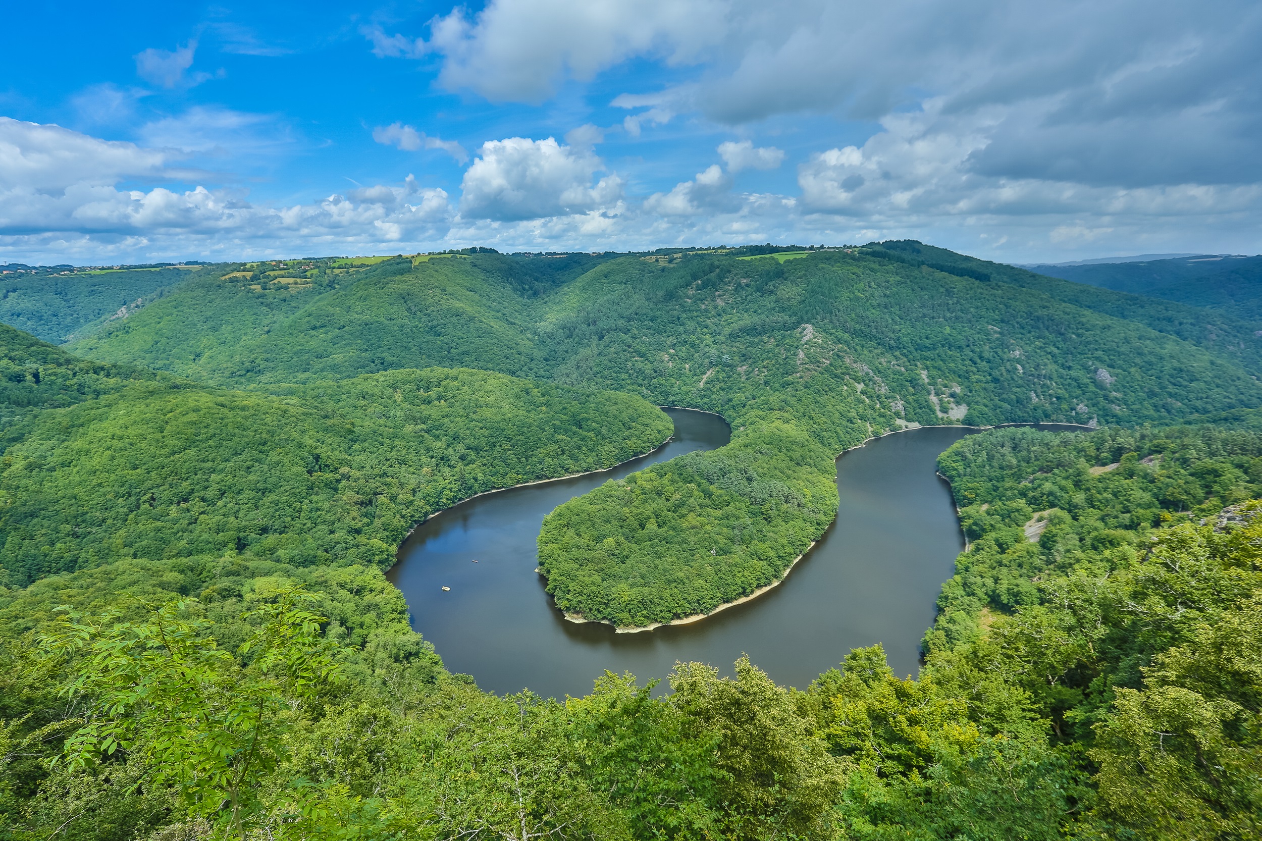
- The Queuille meander.
All year round.
Subject to favorable weather.
Free access.
Contact et accès Église - Parking63780 Queuille
Puy-de-Dôme (63)
Informations complémentaires
Ça peut vous intéresser
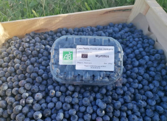
The Small Fruits of the Volcanoes
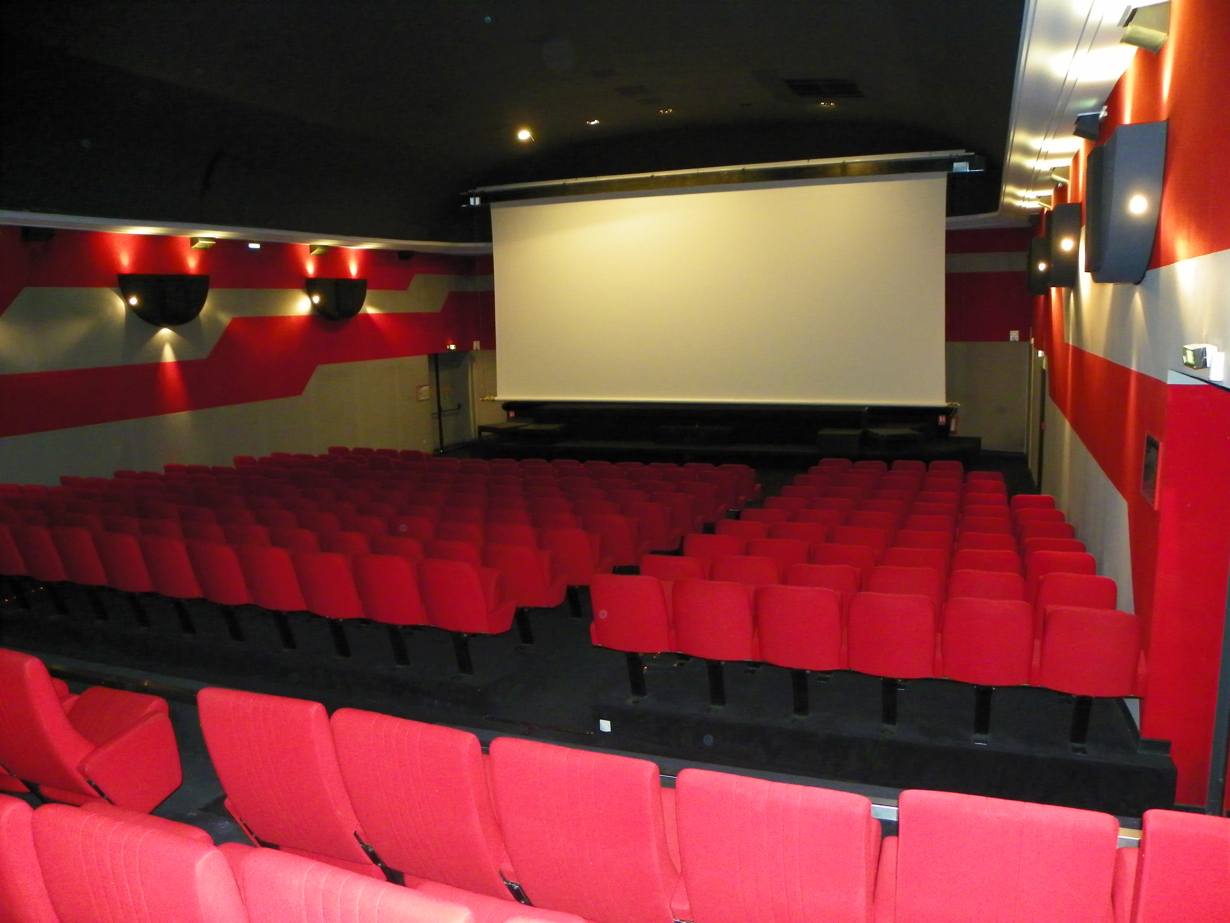
Cinéma La Viouze
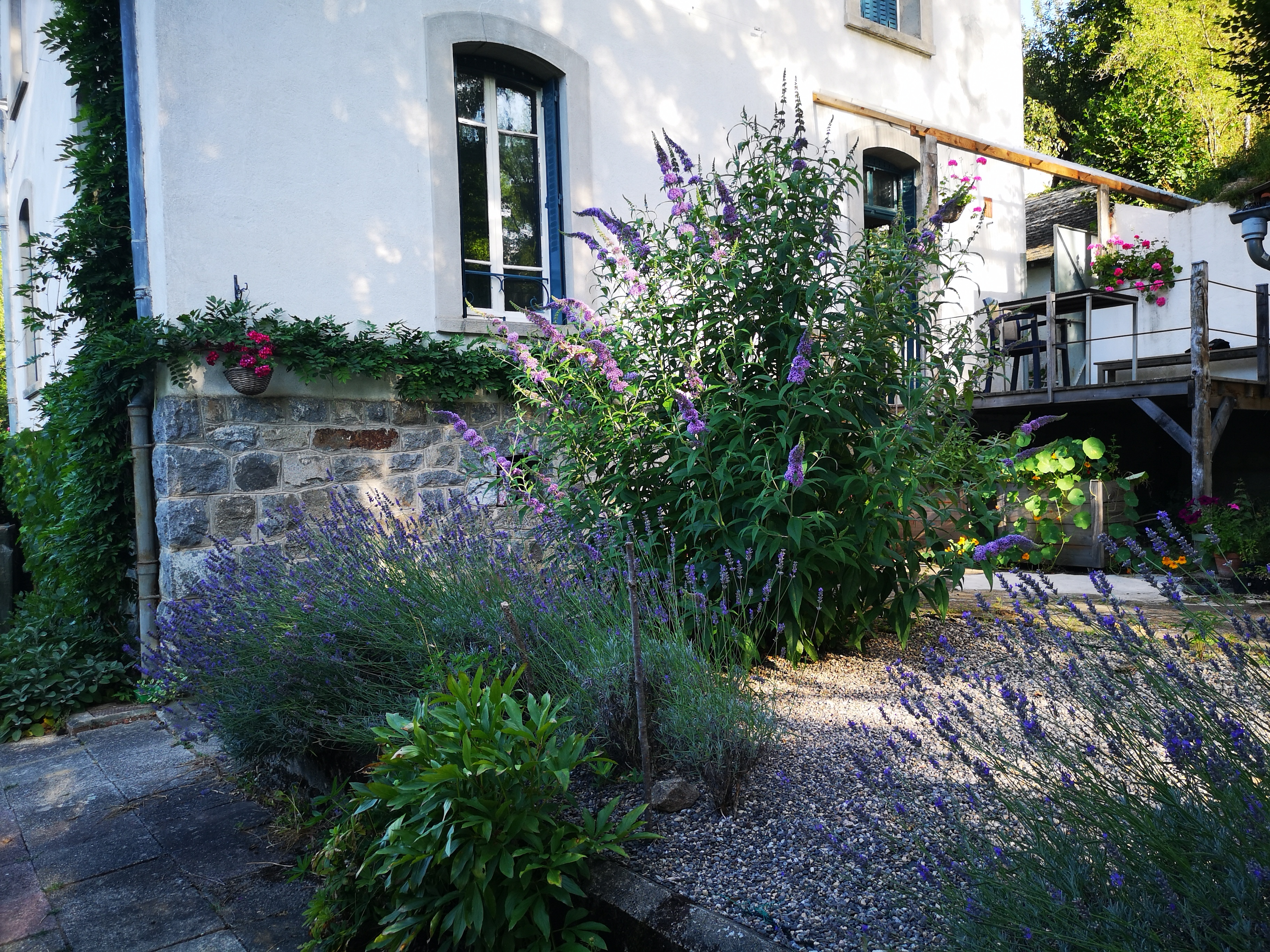
Les Garachons
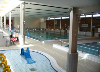
Combrailles Sioule et Morge Aquatic Centre
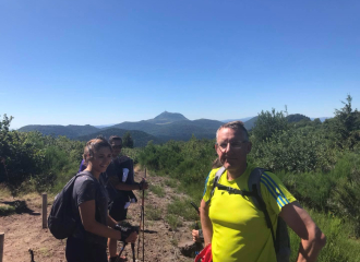
Association Usga
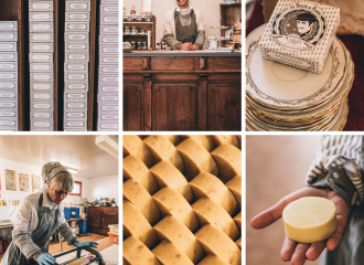
Les Belles de Savon Artisanal soap factory
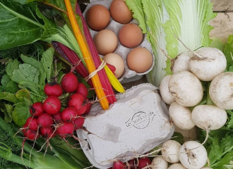
Léa’s Eggs
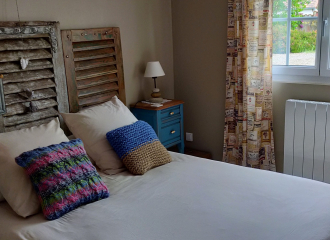
L’Atelier de Mamie
Butcher shop Garachon
Camping Municipal Saint-Georges-de-Mons
Bed and Breakfast Enjoy a quiet moment
