La Roche de Sauterre - Les balades de Léa et Tino
Manzat
- Sauterre rock.
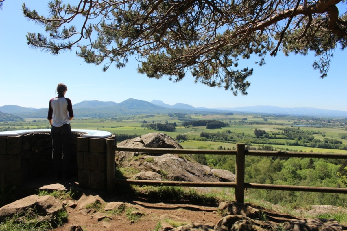
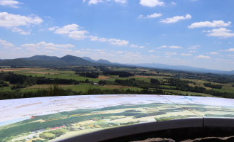
- Orientation table.
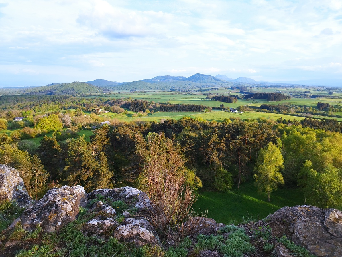
- Viewpoint: Livradois mountains, Chaîne des Puys, Sancy massif, Artense and Combrailles.
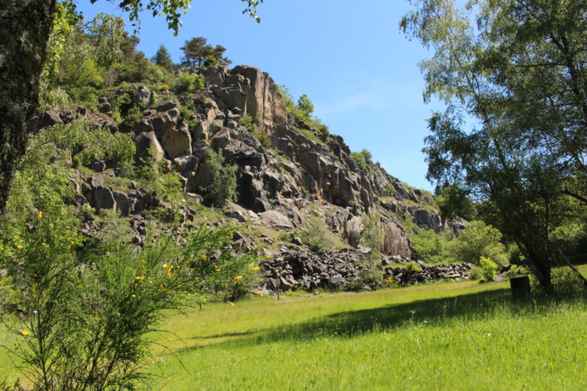
1/ From the car park, take the small road that climbs alongside the cemetery. At the first junction, take the left-hand path (with views of the Chaîne des Puys). Join the road and turn right for 50 m. Turn right onto the first track, signposted La Roche de Sauterre. Go through a gate (former quarry building) and continue as far as the quarry (basalt flows).
2/ Turn left onto a path that climbs through the forest to the top of Roche de Sauterre. At 20 m, on the right, there is an orientation table (with a wide viewpoint: Monts du Livradois, Chaîne des Puys, Massif du Sancy, Artense, Combrailles). Go back the way you came and take the path that runs alongside a high fence as far as the large pylons (radio relay).
3/ Turn left onto the path through the undergrowth. At the end of the wood, turn right, pass under the high-voltage power line and continue down a wide track. At the first junction, ignore the left-hand track. At the next crossroads, continue straight ahead, passing under the power line again and rejoining the road. At this point, take the path on the right that leads back to the starting point between two low drystone walls.
All year round.
Subject to favorable weather.
Free access.
Contact et accès Village de Sauterre63410 Manzat
Puy-de-Dôme (63)
Informations complémentaires
Ça peut vous intéresser

Le Bois Basalte

Circuit poussette – Le chemin Fais’Art

La Vaudelinoise
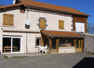
Guestroom Chez Annette et Patrick
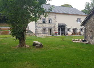
Gîte du Bourgnon
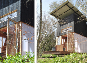
Bois Basalte
