La Ramade
Giat
1/ From the start sign, head down rue de l'Hôtel de Ville, then Grand rue (signposted Pontaumur) below the square. At the fork in the road, turn left (signposted Aubusson) into rue de la
Fontaine. Go past the Place Saint-Barthélémy (fountain), turn left and then right as far as the church. Turn left up the Motte Feodale path and then the steps to reach the summit (11th-century motte castrale) (view of the village of Giat). Go back down and, as soon as you leave the Motte Feodale path, turn right and walk up Rue de la Fontaine for a few metres before turning left into Rue de la Clinique. At Place du Crau, go straight on along Chemin de Ganobert until you reach the road (cross). Turn right onto this road. At a bend in the road, leave a track on the right (cross) and continue for 20 m to a track on the left.
2/ Take this and branch off onto the first tarmac track on the right. At a shed on the outskirts of the village of Le Mascornet, continue along the track opposite. At the D13, turn right until 100 m after the département change sign (in Creuse, the road is known as the D30).
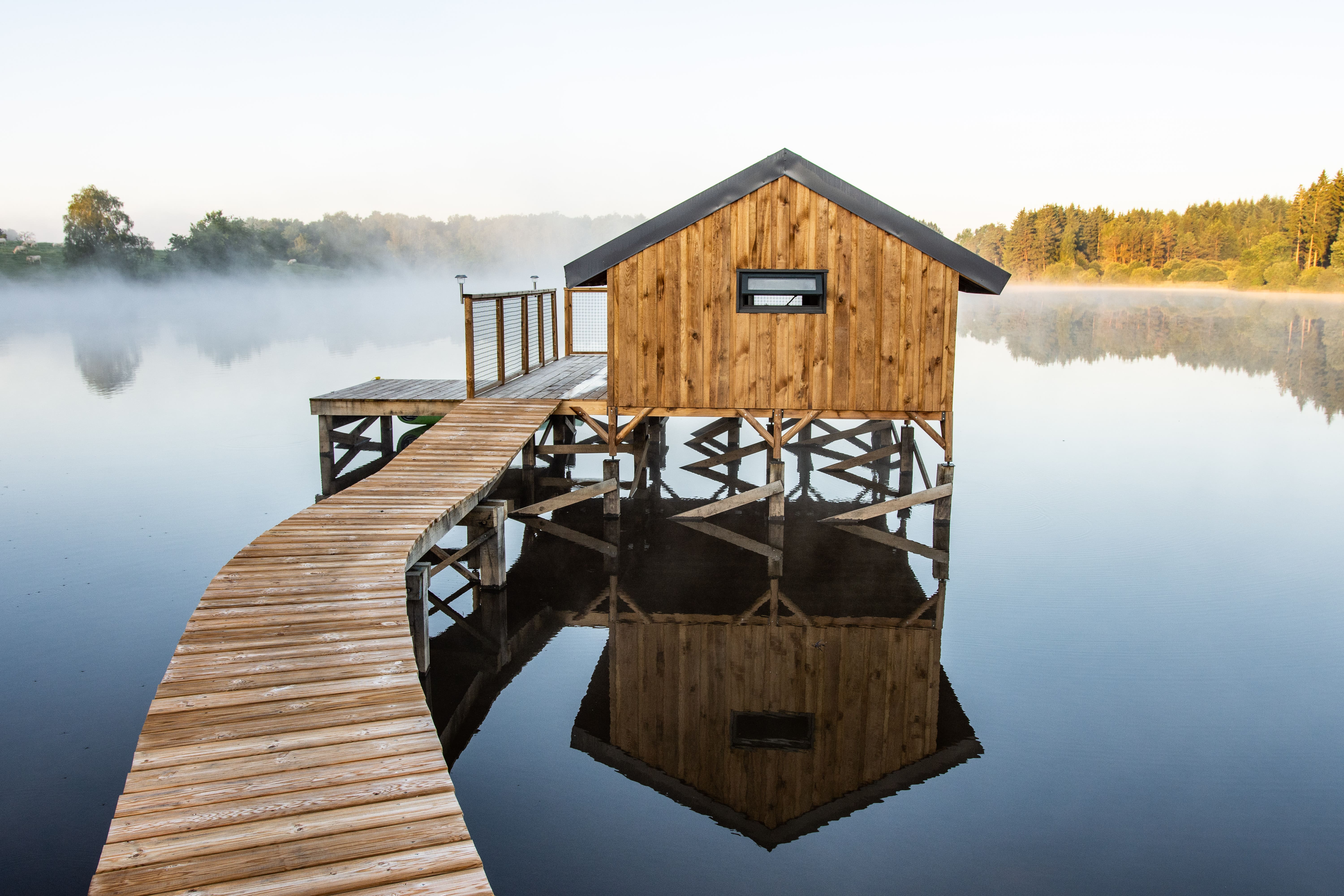
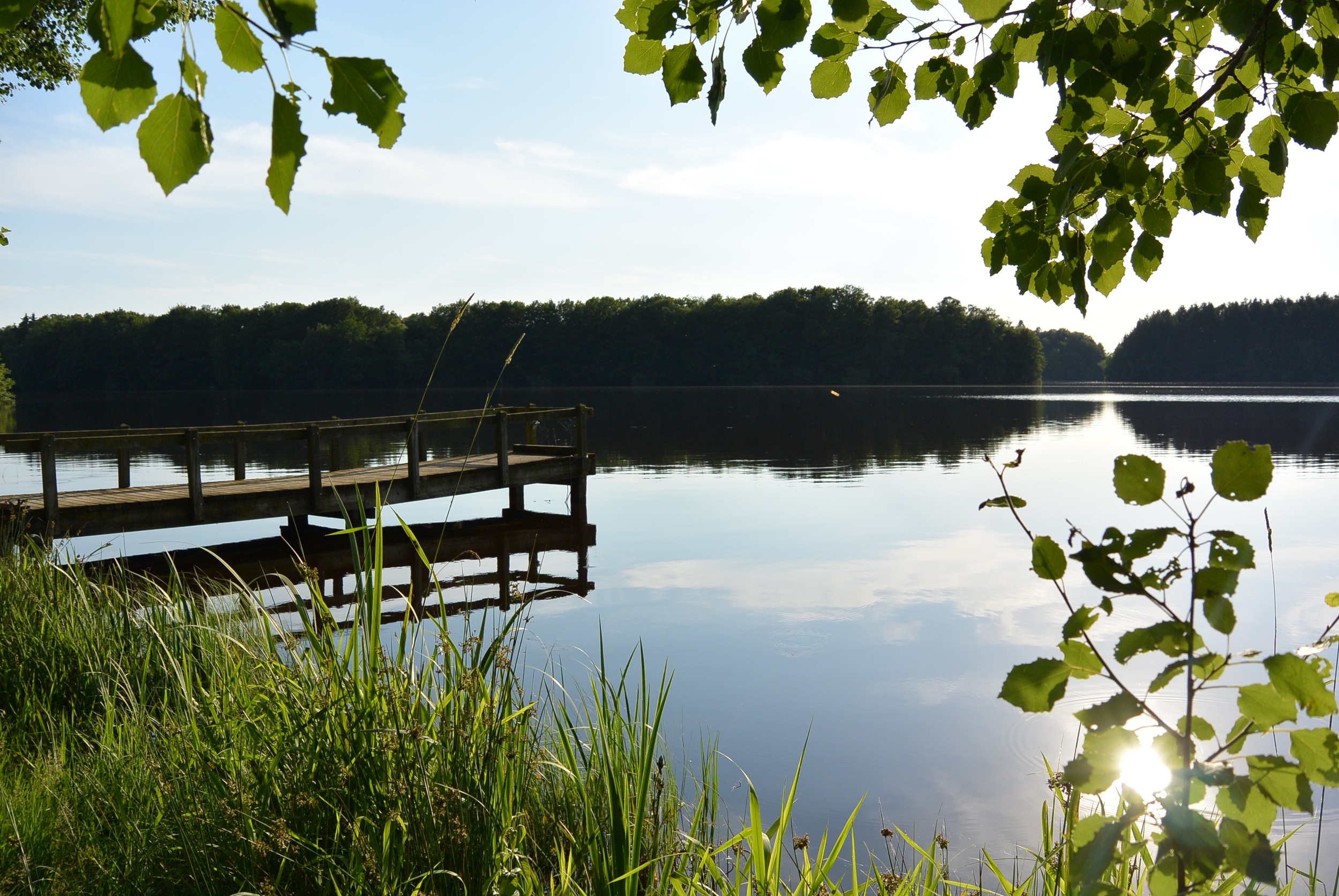
3/ Take the first road on the right (signposted Étang de la Ramade) for 200 m. Turn left towards the car park and walk down to the edge of the pond. Follow the bank to the left as far as the dyke (in the event of flooding, return to point 2 and take the D30 to the right as far as the dyke). Cross the dyke and immediately turn left to reach Coulignat by road. In the hamlet, take the first track on the left. Go past Les Planches (a potentially flooded passage shortly before the bridge). When the road becomes tarmac, continue uphill to a crossroads (Villevergne).
4/ Go straight ahead on chemin des Besses, turn left (impasse des Noisetiers) and then, after 50m, fork onto the first track on the right. At the crossroads, cross the road and continue straight ahead. Turn right at the fork. Cross the stream (the path is often flooded), leave a track on your left, climb up and continue until you reach the junction with a wide track.
5/ Turn left down to the river (La Ramade), leaving paths on either side. Cross the river and immediately turn left. At the next junction, take the first track on the right (with a view of the Sancy). At the buildings, continue straight ahead on the road. At the first junction, go right up to a small pond on the left.
6/ Turn left and go straight on between the houses. Take the first track on the left. At the fork in the road, go down to the right, cross a stream and climb up to a track. Turn right, cross the bridge over the railway line and immediately turn left onto a track as far as a road.
7/ Do not cross the road and take the track on the left. Take the first track on the right after the bridge under the railway. After 300 m on the road (rue des Voyageurs), turn left into avenue de la Gare and walk up to place Arlette Brette. Go straight down to the starting point.
- Feudal mound, 11th-century motte castrale.
- View of the Puy de Dôme and the village of Giat, view of the Puy de Sancy.
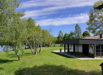
- Etang de la Ramade.
All year round.
Subject to favorable weather.
Free access.
Contact et accès Parking - Place de l’Hôtel de Ville63620 Giat
Puy-de-Dôme (63)
Informations complémentaires