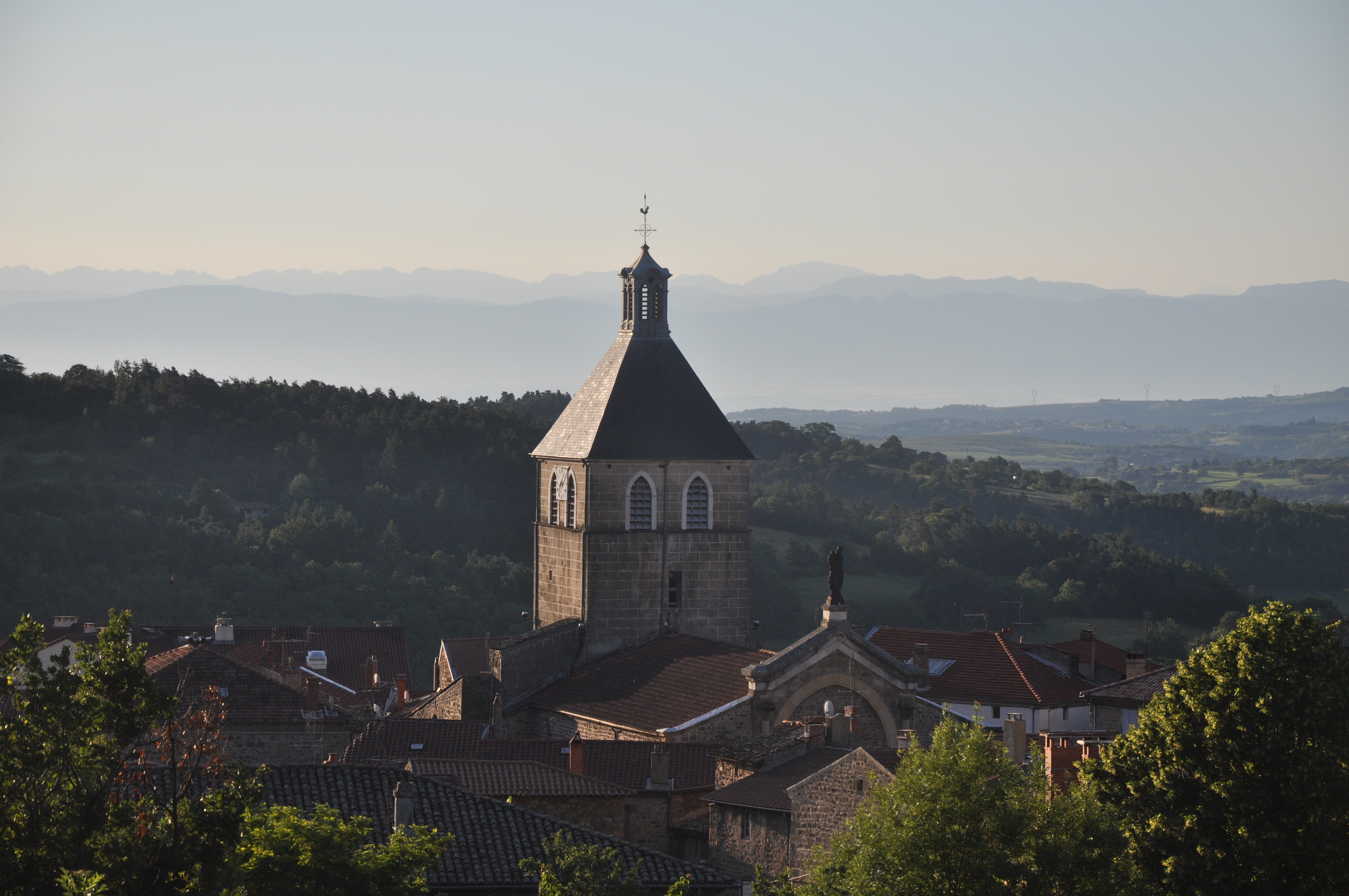
La Panoramique
Saint-Félicien

Departing from St Félicien, birthplace of the Ardéchoise cyclosportive, you'll take on a little-known pass, but certainly one of the most beautiful in the area.
The steady climb to the Col de Fontfreyde will be a treat for the calves, unless you've opted for an electric-assist bike. From here, an almost flat road leads to the hilltop village of Nozières, from where the view is breathtaking. If it's a hot summer's day, the shade offered by the fir trees will provide you with a comforting coolness.
From Nozières, it's another 1 km or so uphill for a further 15 km or so on a false flat, but above all with permanent views over the upper Doux valley. Here and there, you'll see the villages of St Jeure d'Andaure, Lafarre, Rochepaule and the gourmet village of St Bonnet le Froid, already in the Haute Loire.
The final stretch just before Lalouvesc marks the last few km of ascent to over 1000m, but with plenty of shade, it's just a formality. Take the time to visit the heritage of Lalouvesc, a sanctuary dedicated to Saint Jean François Régis and Sainte Thérèse Couderc, around the basilica, whose architect, Pierre Bossan, was also responsible for the Fourvière basilicas in Lyon and Ars.
After that, it's all downhill fun. From the Col du Marchand, don't miss the detour to the hilltop village of Pailharès, inviting you to take a stroll. A few more km downhill to return to the starting point, following in the footsteps of thousands of cyclists in June.
All year round.
TarifsFree access.
Contact et accès 18 place de l'Hôtel de Ville07410 Saint-Félicien
Ardèche (7)
Informations complémentaires
Ça peut vous intéresser


Hôtel Le Félicien


Le Bistrot des Blondes


Le Félicien


Nectardéchois


La Ferme des Gauchetières


Restaurant “La Terrasse”
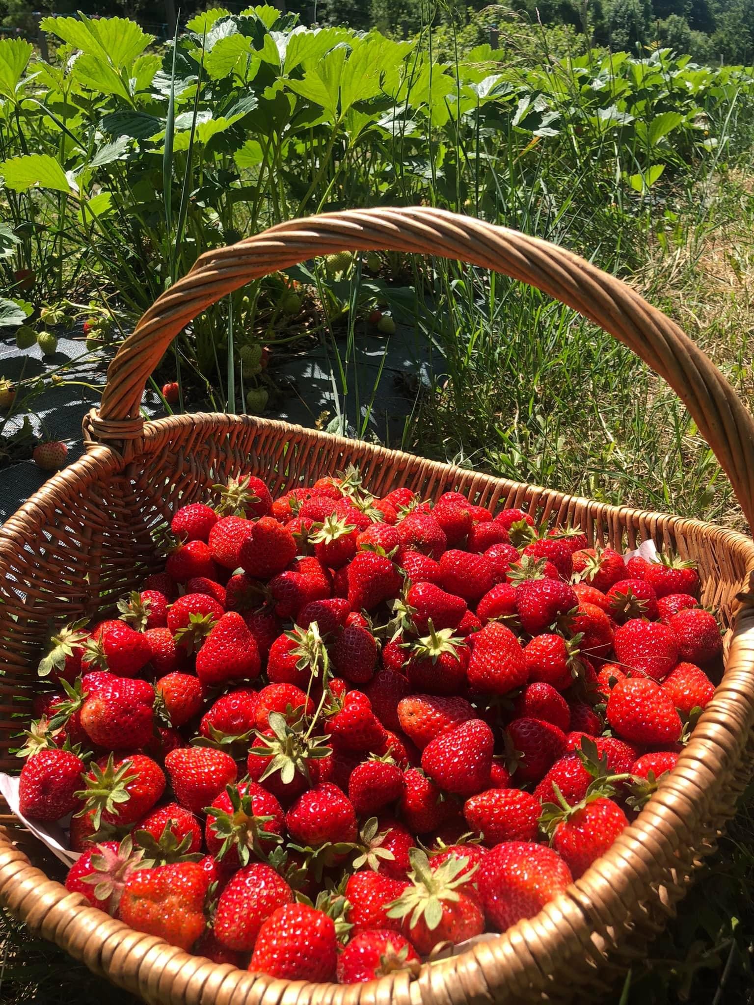

La Gagère
Wellness area – Le Félicien
Church of Pailharès
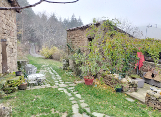
Gîte Petit Estancòt
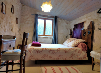
Chambre d’hôte “La Praniera”
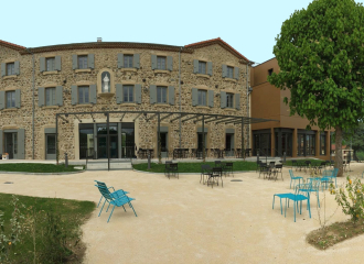
Hôtel Le Félicien
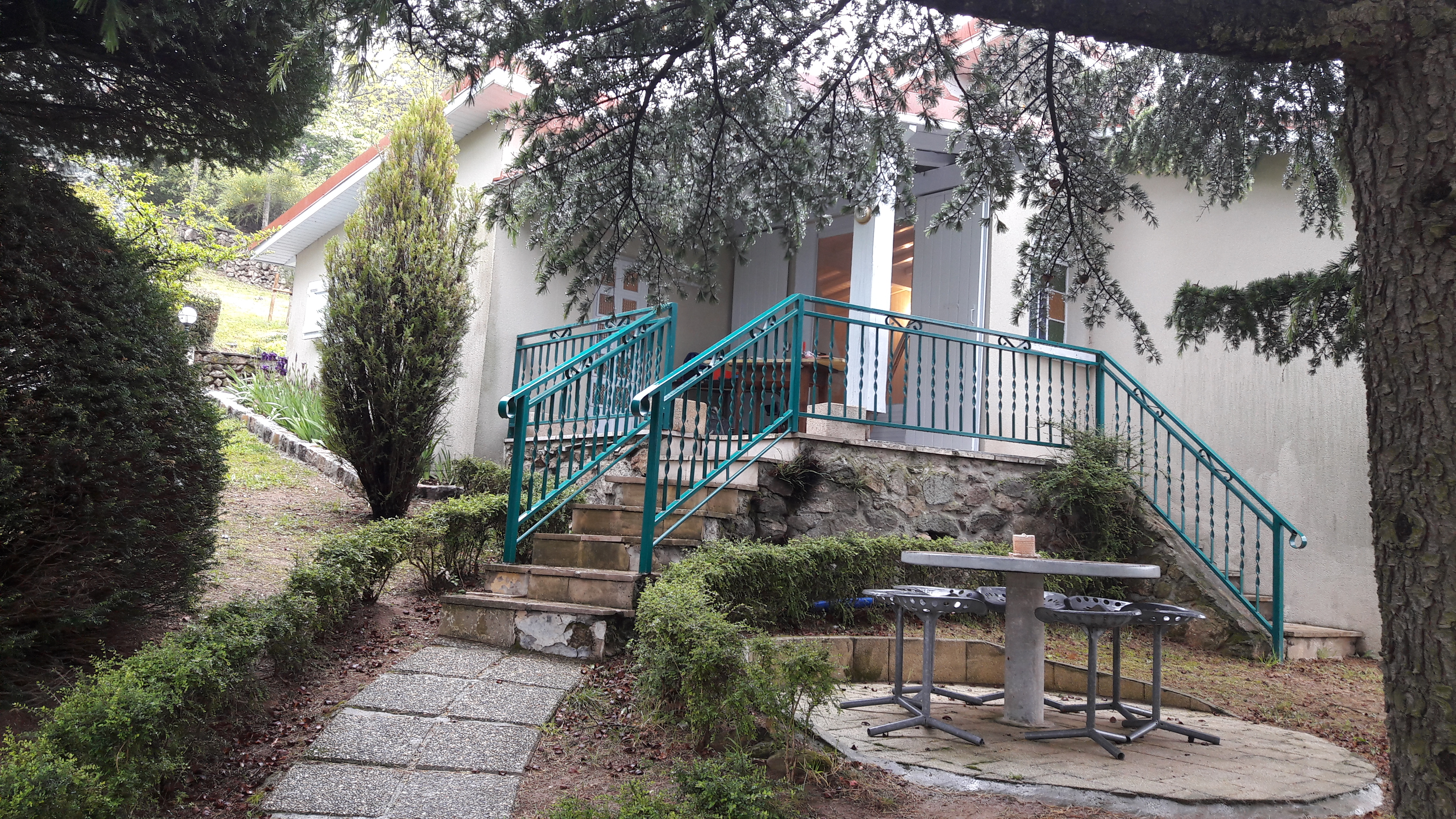
Domaine de Cabu : Le Chalet
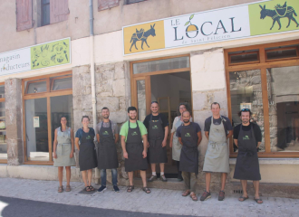
Le local de Saint Félicien
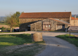
Ferme de Réat
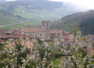
Church of Vaudevant
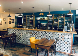
Le Bistrot des Blondes
Ferme des Genêts
