La Dranse
Haute-Savoie ()
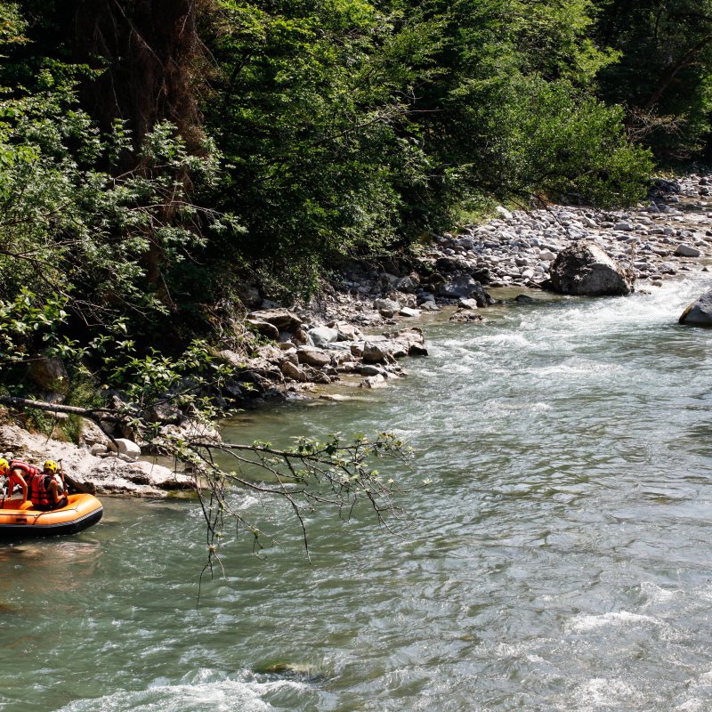
The Dranse is the result of three rivers originating in the mountains of Haut-Chablais coming together approximately 9 or 10 kilometres up from the delta in about the same place:
- to the east runs the Dranse d'Abondance which supplies Val d'Abondance and runs through Abondance and Châtel
- to the south, the Dranse de Morzine runs through Morzine, Saint-Jean-d'Aulps and the Gorges du Pont-du-Diable
- to the west, the Brevon or Dranse de Bellevaux originates at the Roc d'Enfer and runs through the Lac de Vallon and the village of Bellevaux.
The Dranse runs into Lake Geneva, forms a delta and becomes part of the natural reserve of the Delta de la Dranse east of Thonon-les-Bains. It has a small surface area (53 hectares) but is big on incredible plantlife.
The Dranse is a very abundant river just as all waterways originating in the pre-Alpine ranges are.
It has a nival regime with some rain characteristics.
It has significant seasonal current fluctuations as are common to Alpine waterways. In spring it has high water levels mainly due to snow melting. Between April and June the monthly average current is 30 - 40m³ per second with the maximum in May.
From the end of June the flow quickly lowers as does the water level. From the end of July to the end of February, the low water levels’ current is always between 12.7 and 17.1m³ per second with the lowest being 12.7m³ in August with a slight peak in November during autumn rainfall. However, the fluctuations are far more significant over short periods and depending on the year.
The Dranse is a very abundant river supplied by abundant rainfall in the North Alps. The water gap in its drainage basin is 1.285 millimetres every year which is very high considering it is three times higher than the French average. The river current (or Qsp) is extremely high at 40.7 litres/second/km² of the basin.
Toute l'année : ouvert tous les jours.
TarifsGratuit
Contact et accès 74200 Thonon-les-BainsHaute-Savoie (74)
Informations complémentaires
Ça peut vous intéresser
Bistro Chez Fernand

Mountain bike school Bike Léman
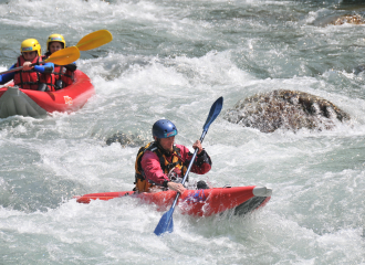
Aquarafting
Hydrospeed
First dive at La Cité de l’Eau
Fishing Courses
Standup Paddleboarding
Fishing port of Rives
Léman Club Subaquatique

Restaurant de l’Etoile
Fournil du Chablais – Pl. de Crète
