La cheire de Tournebise - Les balades de Léa et Tino
Saint-Pierre-le-Chastel
- Tournebise forest.
- Views of the Banne d'Ordanche.
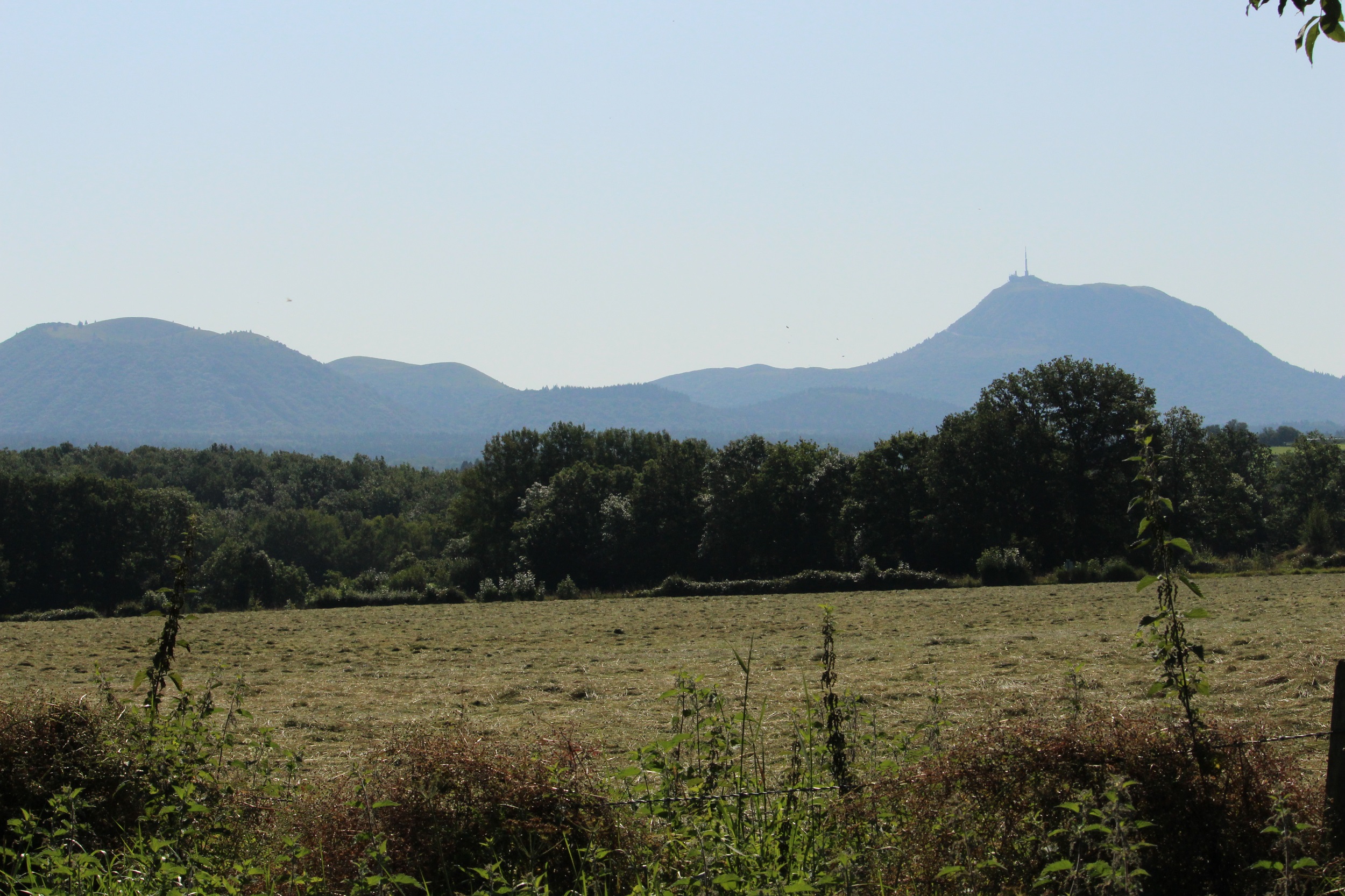
- Views of the Dôme and Côme puys
1/ From the start sign, take the path into the forest of the cheire de Tournebise, part of the cheire de Côme (information on this, 20m after the start). 150m further on, the path begins to cross the Chazaloux medieval site (5 mins AR from the intersection, on the right and left, interpretations of the traces of the buildings). Continue straight on until you reach the fork at the end of the site. Go right and, at the next fork, go left. At the third fork, go right until you reach a Y junction.
2/ Turn right and then left at the next junction. At the fork in the road, go down to the right and, after 30 m, continue to the right. Continue along a clearing with ruined buildings. Ignore the paths to the left and then to the right. Pass a car park on the edge of the forest. Stay on the main path, ignoring the side paths. Before the houses, there are views of the Banne d'Ordanche and then, 30m further on, the Dôme and Côme puys. Continue as far as the road.
3/ Turn right. At the next crossroads, leave Rue des Clidelles and take the road to the right. Walk past the farm buildings. At the car park sign, return to the start.
All year round.
Subject to favorable weather.
Free access.
Contact et accès Panneau Parking en face de la rue du château de Tournebise63230 Saint-Pierre-le-Chastel
Puy-de-Dôme (63)
Informations complémentaires
Ça peut vous intéresser

Fromagerie Morel
Domaine de la Palle – Reception room
Chambres d’hôtes Rejaillir

Thé à croquer Colombet
La Transparence
Yourte Le Petit Suchet

Hôtel de la Poste
Multicache Geocaching – Butte et marais de Saint-Pierre-le-Chastel
Volca’Lodges
Domaine de La Palle
Fishing guide – Stéphane Voissier
