La cheire de Pontgibaud
Pontgibaud
1/ From the start sign, take the D578 towards Ceyssat. After 200 m, turn left before the post office and drive under the SNCF bridge. At the first track, turn left. At the transformer, keep right until you reach the road.
2/ Follow the road to the right and, as it bends, take the path opposite. Go through a fence and enter the cheire (volcanic flow from the puy de Côme) between birch and hazelnut trees. When you reach a wide sandy track, turn left, go through a second barrier and continue until you reach a road.
3/ Turn right for 80 m, then right onto the road that runs alongside the industrial estate. Take the first track on the right and go through a barrier. Continue straight on, ignoring the adjacent paths. At the crow's feet, keep right as far as the T-junction (stone bench).
4/ Turn left and follow the path as far as the turnaround racket (ice hole nearby). Retrace your steps to point 3, pass the stone bench and continue for 200 m to the first path on the left. The return path takes the same route as the outward journey: climb the path through the cheire and follow it as far as the barrier. Continue along the dirt track, rejoining the road. After 100 m, turn left onto the Chemin de la Souche. Turn left at the transformer. Follow the road to the right and enter the village until you reach the starting point.
- Cheire (puy de Côme volcanic flow) with its unusual rocks.
- An ideal walk in warm weather.
All year round.
Subject to favorable weather.
Free access.
Contact et accès Parking - Place de la République.63230 Pontgibaud
Puy-de-Dôme (63)
Informations complémentaires
Ça peut vous intéresser

Visite commentée de la brasserie
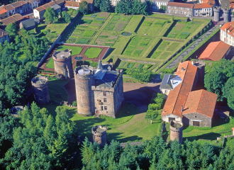
Castle Dauphin
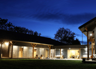
La Transparence

Auberge Chez Agathe
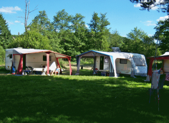
Camping Municipal de la Palle
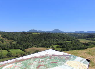
Balade – Butte et Marais de Saint-Pierre-le-Chastel

Bistrot des Combes

Boutique Dark Lab

Boucherie Charcuterie Vincent
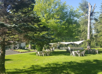
Domaine de La Palle
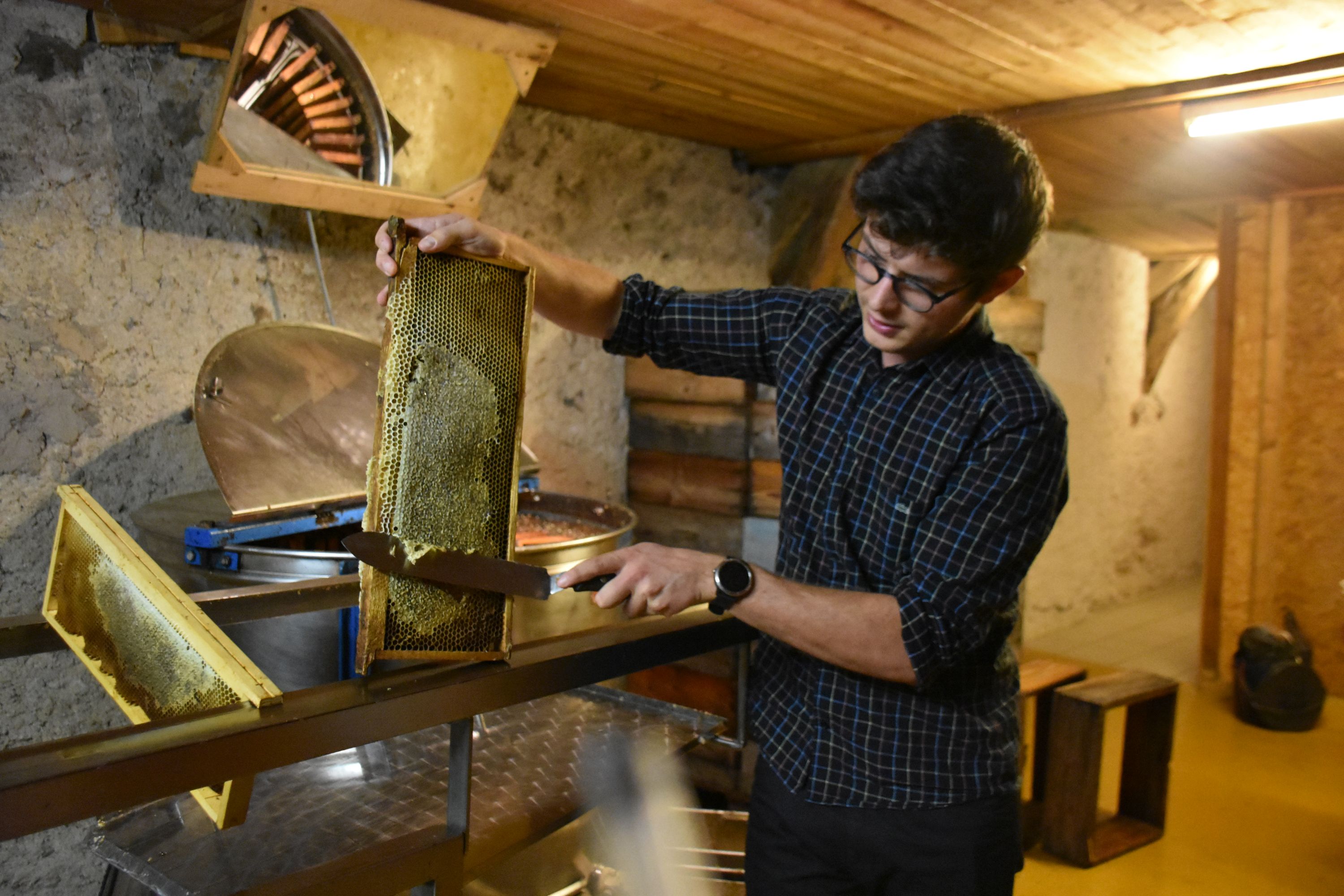
The Hive some Puys
