


Sport
Hiking Trail: Doran via the Gypaète trail
Sallanches


Description
74700 Sallanches
Haute-Savoie (74)
Informations complémentaires
Blotti au coeur d'un cirque grandiose de montagnes dominé par la Pointe Percée, point culminant des Aravis, l'alpage de Doran vous propose de découvrir - de juin à septembre - son activité agro-pastorale et fromagère ancestrale où vous pourrez acheter du fromage frais, l'étonnante histoire d'une chapelle édifiée par les scouts, la faune et la flore de l'alpe et notamment l'étonnant Gypaète Barbu, réintroduit ici il y a quelques années déjà. Et bien sûr le charmant refuge de Doran qui vous accueillera sur place pour boire un verre, déguster une tarte aux myrtilles ou encore vous proposer le gîte pour la nuit.
De nombreuses randonnées démarrent également depuis cet alpage : l'arête des Saix pour rejoindre Mayères, le Col de Doran pour les Quatre-Tête ou la Pointe Percée ou encore les tours et la Pointe d'Areu....
Le temps de marche est approximatif et ne compte pas les temps de pause.
Partez en randonnée en sécurité !
Ce descriptif vous permet de vous orienter globalement mais ne se substitue pas à une carte de randonnées au 1/25000 ou autres topoguides que vous pourrez retrouver dans votre office de tourisme ! A Sallanches, notre Bureau des Guides & Accompagnateurs propose également un large choix de sorties accompagnées par des professionnels de la montagne vous apportant une expertise complète sur l'environnement et la nature alpine, pensez-y !
Quelle que soit votre randonnée, consultez la météo avant de partir.
Pensez à prendre dans votre sac à dos des barres de céréales, de l'eau en quantité suffisante, des lunettes de soleil, de la crème solaire, une petite trousse à pharmacie, ainsi que des vêtements adaptés à votre sortie en fonction de la saison et de la météo annoncée.
From 15/05 to 15/10.
Subject to favorable snow and weather conditions.
Free access.
Contact et accès Parking de Plan Chevalier, Route d'Outredière74700 Sallanches
Haute-Savoie (74)
Informations complémentaires

Ça peut vous intéresser


À proximité

@Wendy Coulon
CASMB
CASMB
mairie de sallanches
Le Studio K
David MACHET
Wendy Coulon
JMBarey
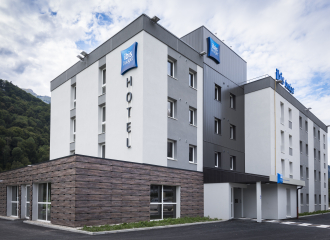
Hotel
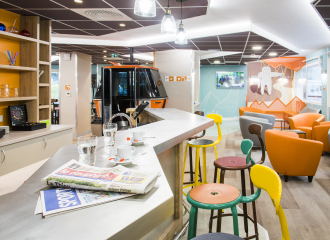
Hôtel Ibis Budget Sallanches Pays du Mont Blanc
Sallanches

Tourism institutions
Service groupes tourisme d’affaires
Sallanches
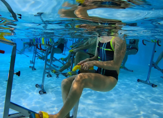
Sporting activities
activité aquatique aquabike
Sallanches
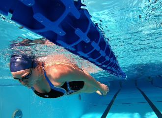
Sporting activities
leçons de natation particulières
Sallanches
Sporting activities
activité aquatique aquamix (gym-bike)
Sallanches
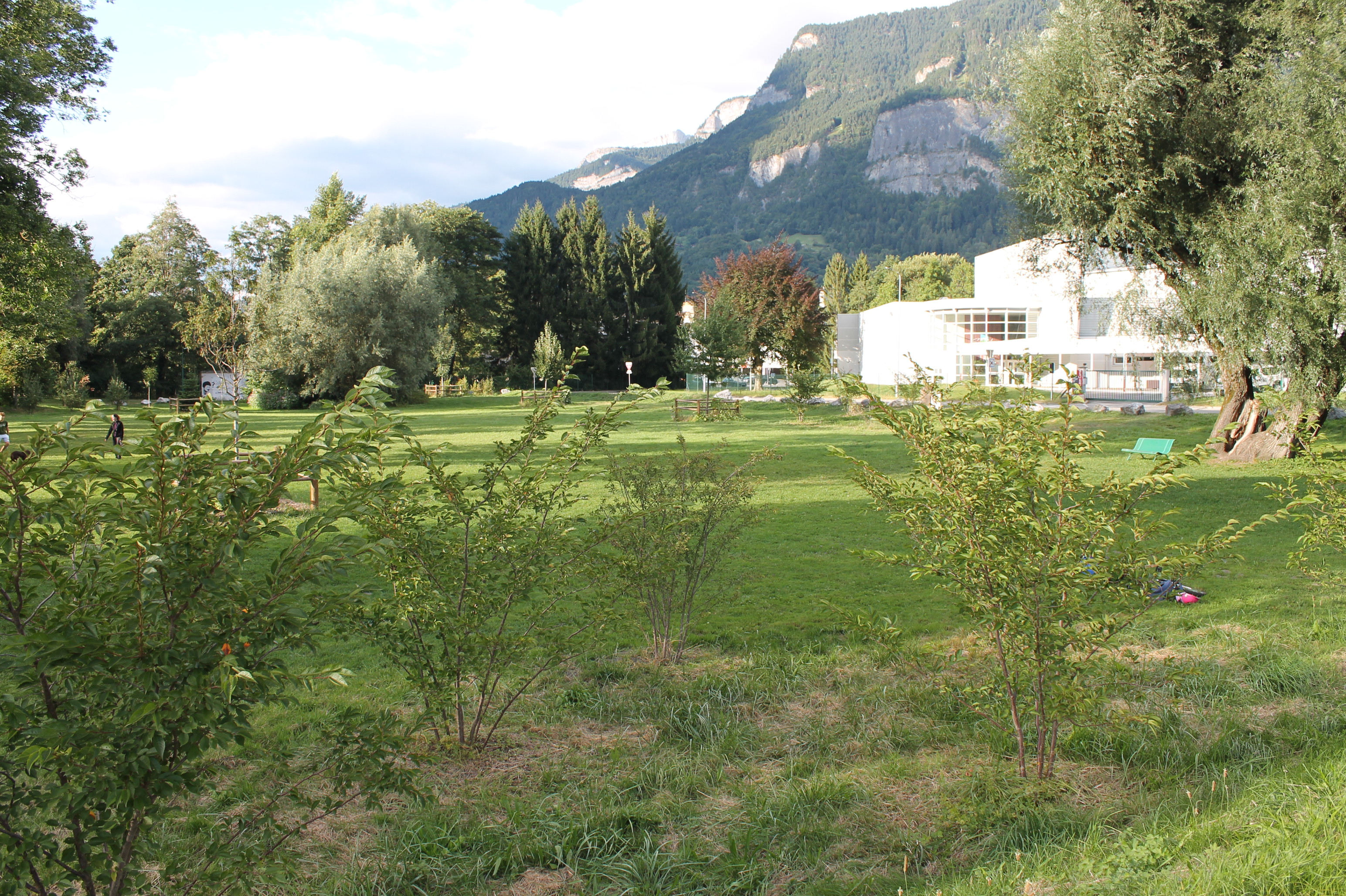
Leisure
Pré Curral
Sallanches

Accompanied
Alpages des Aravis
Sallanches

Cultural
Salle Léon Curral
Sallanches
Hotel
Hôtel Ibis Styles Sallanches – Pays du Mont Blanc
Sallanches
Cultural
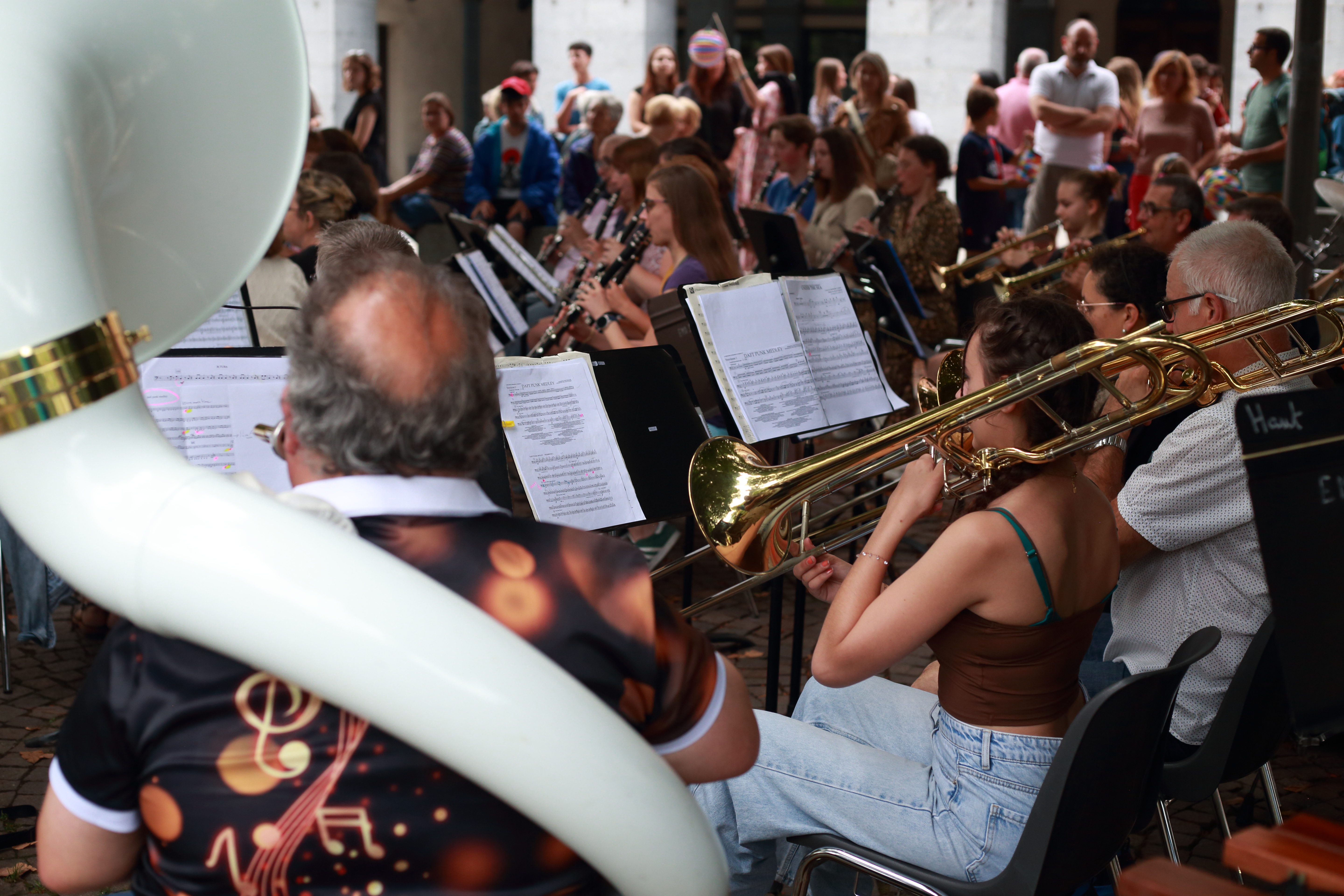
Festival des Musiques du Faucigny
Sallanches
Leisure
Lac de baignade des Ilettes
Sallanches
Sporting activities
Les Ptits alpinistes
Cordon
