


Sport
Hiking path: la Cave aux Fées
Saint-Cergues
Description
74140 Saint-Cergues
Haute-Savoie (74)
Informations complémentaires
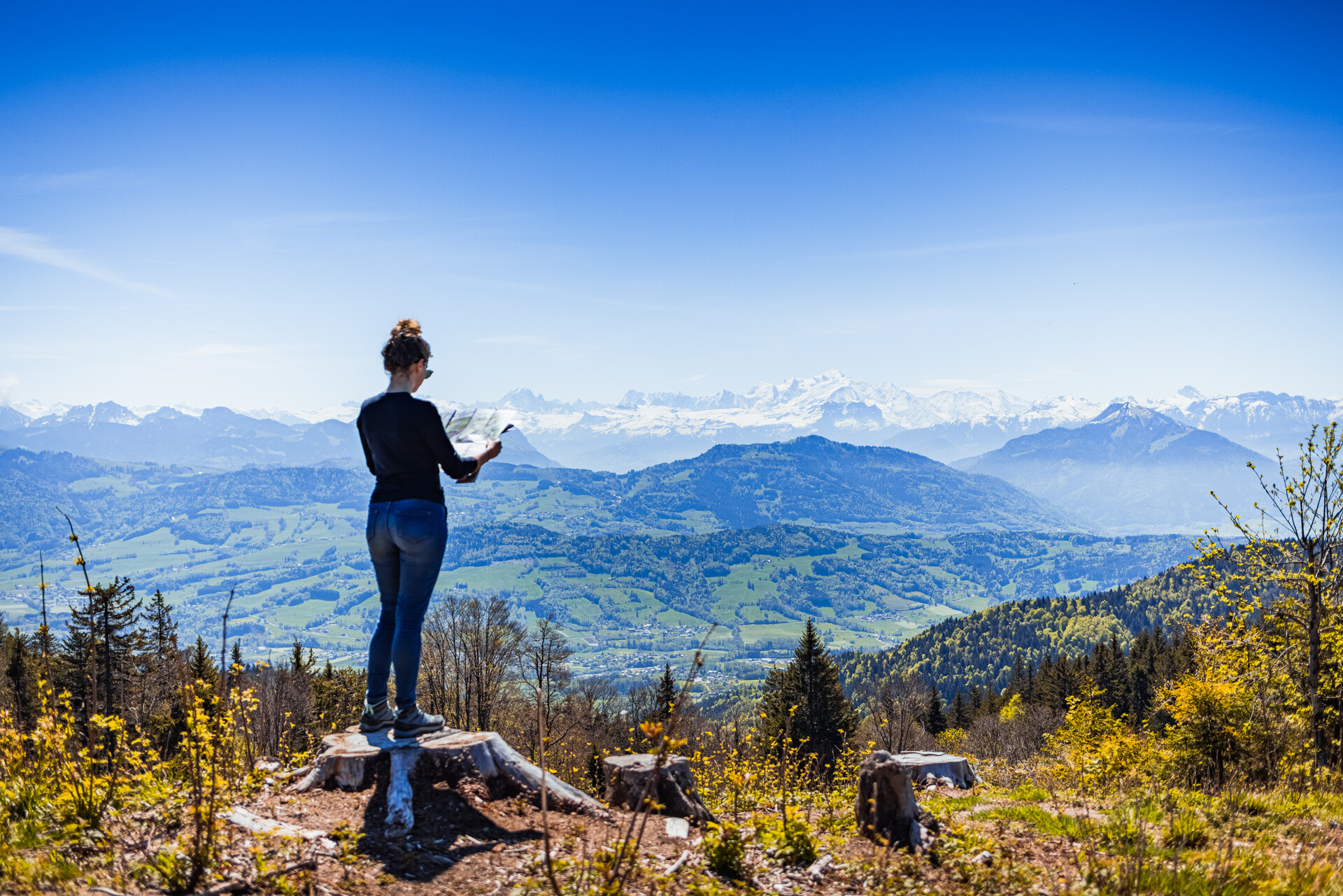
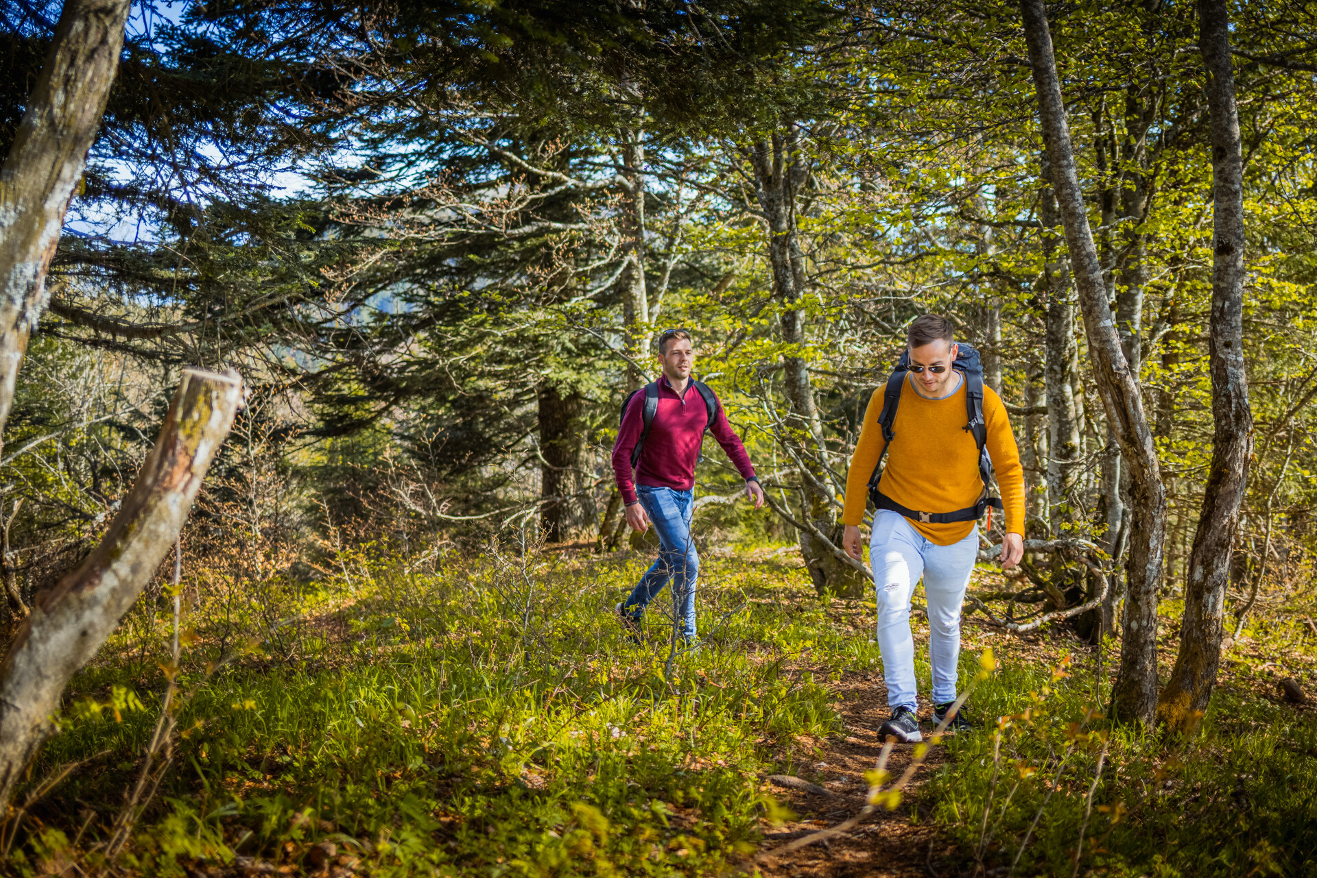
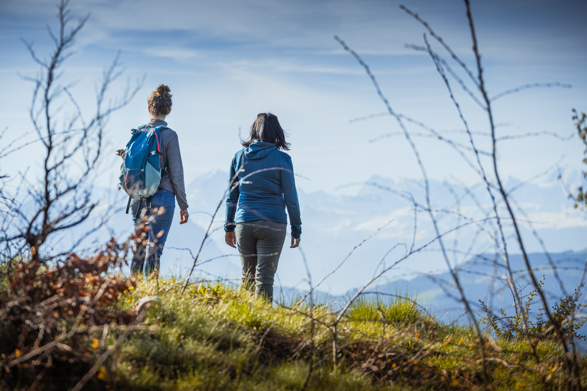
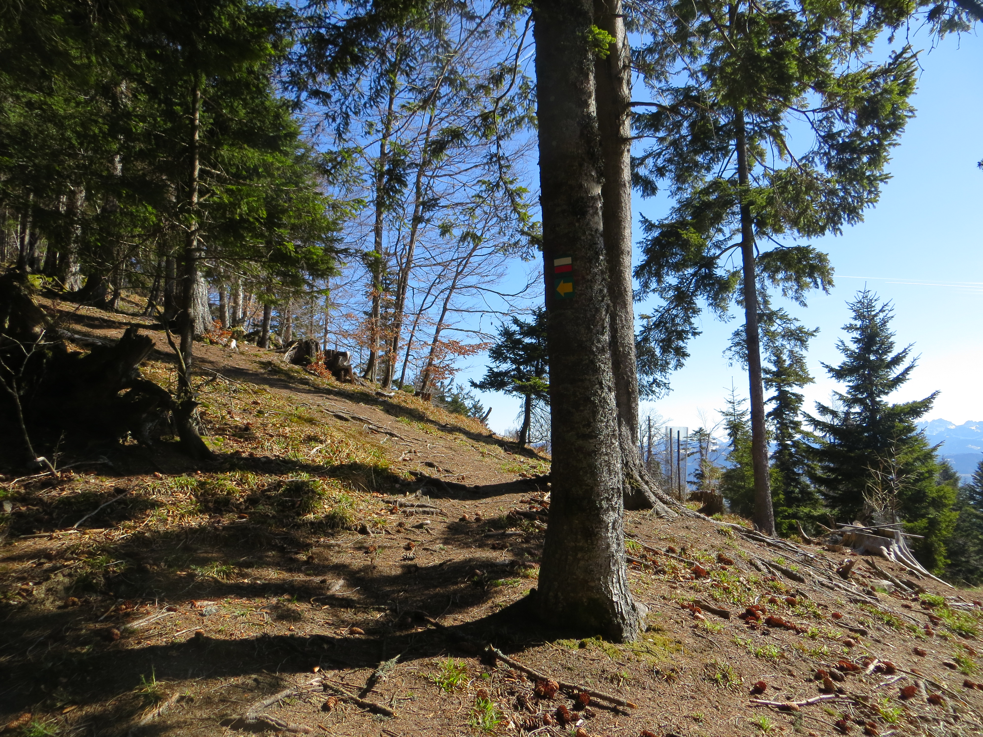
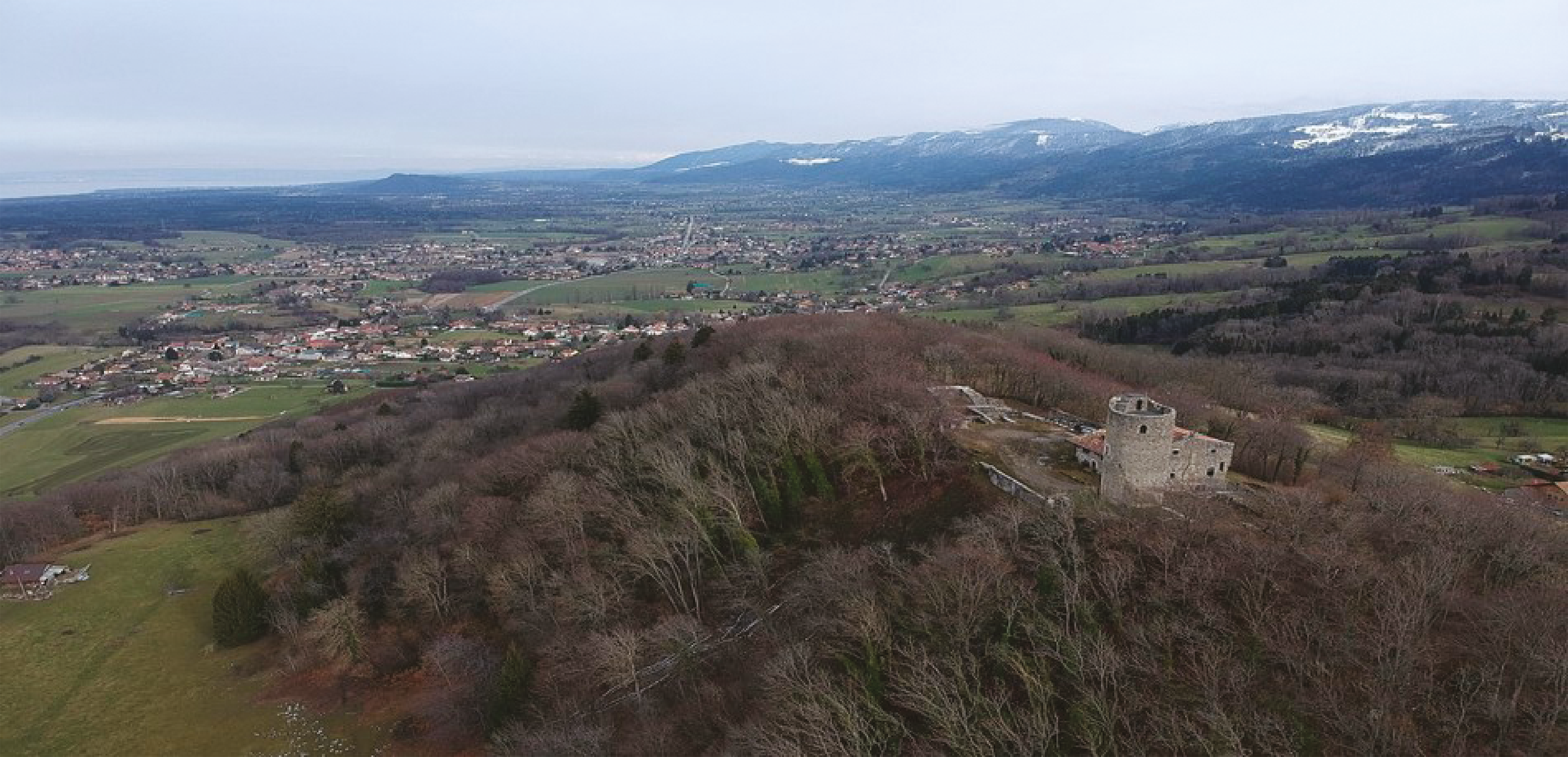
What to see along the way: Alpine pastures, forest and ruins, viewpoints, Crêtes and Signal des Voirons.
Local sights: Dolmen, Monastère de la Transfiguration, the shores of Lake Geneva; Chapelle N.-D. des Voirons, Tour de Langin (private property).
Departure point: From the parking lot near the dolmen, cross the torrent (Chandouze) to the left, then climb the left bank, enter the woods and leave the path on the right to reach the Chandouze ford (footbridge).
1/ Cross to the other side of the river, then turn right twice, the slope becomes gentler and makes a large loop, the path widens. Leave the track on the right and, after a steep slope, go right up an old castle. The path skirts a meadow and reaches a road leading to Champ de France (intermediate parking lot).
2/ From the parking lot, turn left towards Le Fieu, after the last house (from the intermediate parking lot, count 540 m of ascent).
3/ Turn right, the path crosses the forest road twice.
4/ Go straight ahead, past the ruins (Les Dades) and cross another forest road to reach the Col du Pieuré.
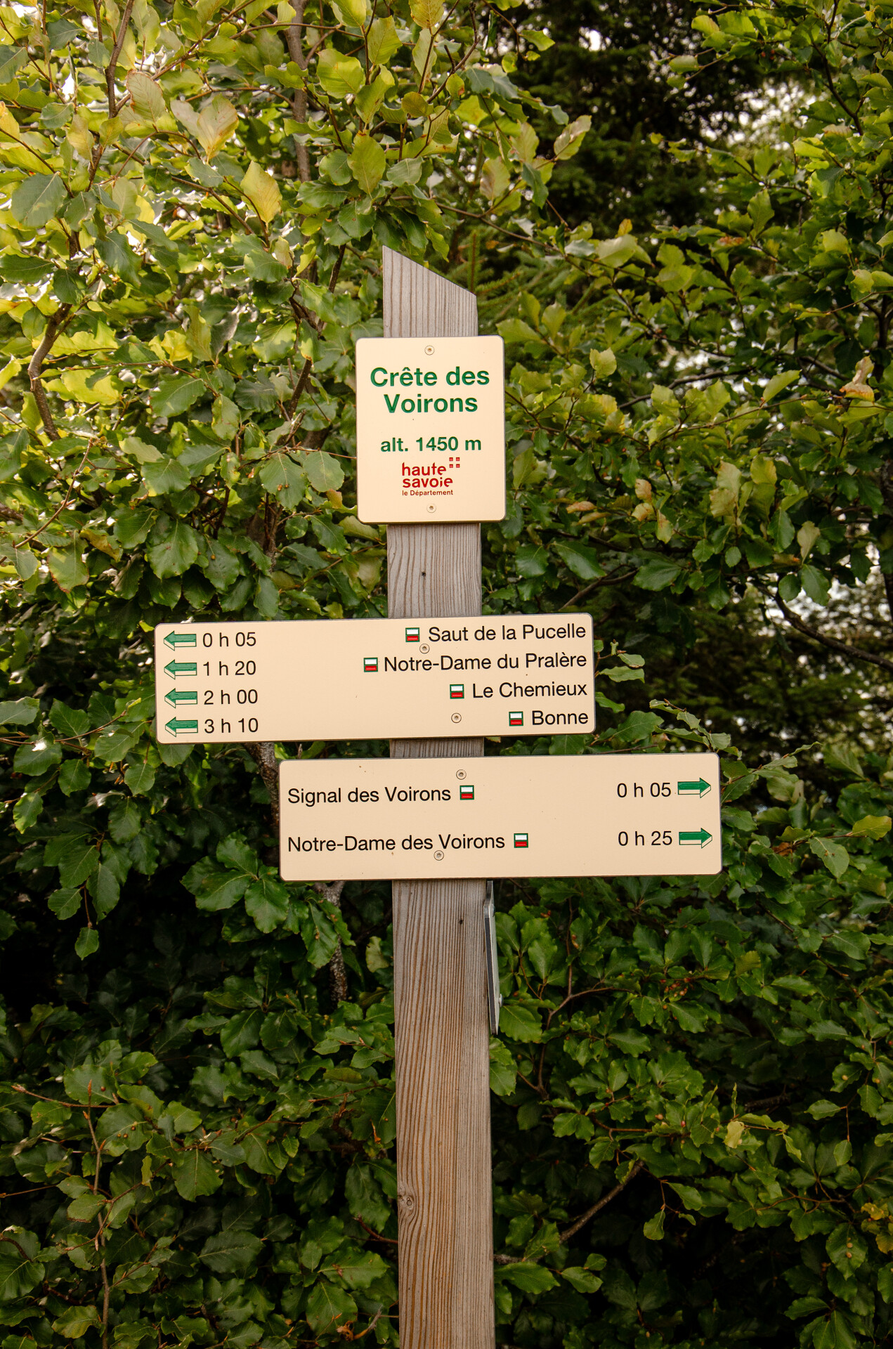
5/ We are now on the Crêtes des Voirons and the GR Balcon du Léman. (If you turn right, you'll reach Pointe de Brantaz rep 7). Go left on the GR to pass Saut de la Pucelle, then go past junction 8 to junction 9.
6/ Signal des Voirons (1480 m) return at 8 and take the "Machilly au Signal" path downhill, after Servette, at the forest track leave the path and take the forest road to the left, ignoring a track to the left and another to the right to find yourself at 5 on the uphill path, descend to the right to reach the parking lot (either 3 or 1).
All year round.
TarifsFree access.
Contact et accès Route des Vouards74140 Saint-Cergues
Haute-Savoie (74)
Informations complémentaires

Ça peut vous intéresser


À proximité

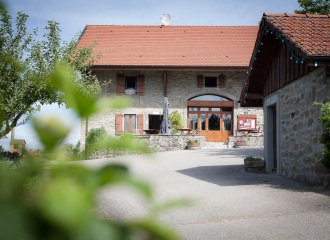
B&B Saint Cergues
Reggio Emilia
©ArchipelButor
JM Peutet
Ludovic Briet
Première Classe Ville-la-Grand
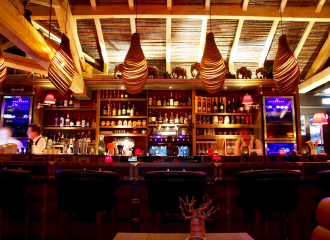
Animal Lodge Bar
confort hôtel
Le bonheur dans le pré
Brice Souvansanouk
Évènement terminé
Millo Moravski
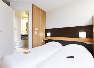
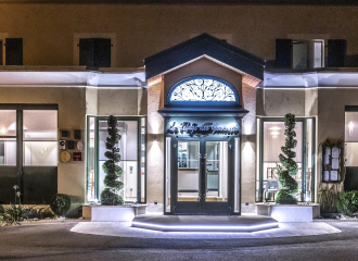
Hotel
Hôtel B&B
Saint-Cergues
Rent your own escape box
Annemasse
Hotel - restaurant
Auberge de maison rouge
Vétraz-Monthoux
Cultural
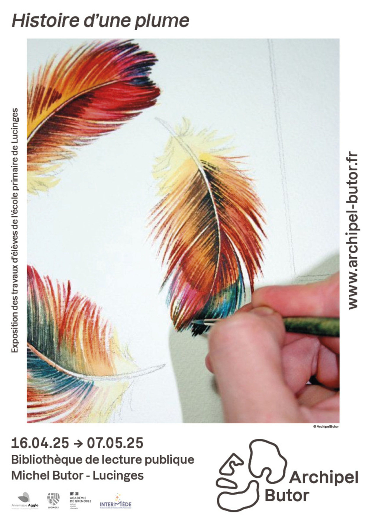
Exposition “Histoire d’une plume”
Lucinges
Sporting activities
School outing: A leap back in time
Bons-en-Chablais
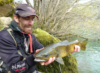
Sporting activities
River fishing
Thonon-les-Bains
Hotel
Première Classe Annemasse – Ville-la-Grand
Ville-la-Grand
Leisure
Animal Lodge-Bar
Ville-la-Grand
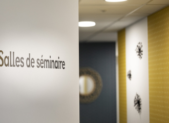
Hôtel Kyriad Annemasse – Genève – Espaces de travail
Annemasse
Traditional cooking
Le Bonheur dans le Pré
Lucinges

Traditions and folklore
Menu Saint Valentin
Machilly
Gastronomic restaurant
Le Refuge des Gourmets
Machilly
