


Sport
Hiking loop: Balcon paysager du Téléphérique
Monnetier-Mornex
Description
74560 Monnetier-Mornex
Haute-Savoie (74)
Informations complémentaires
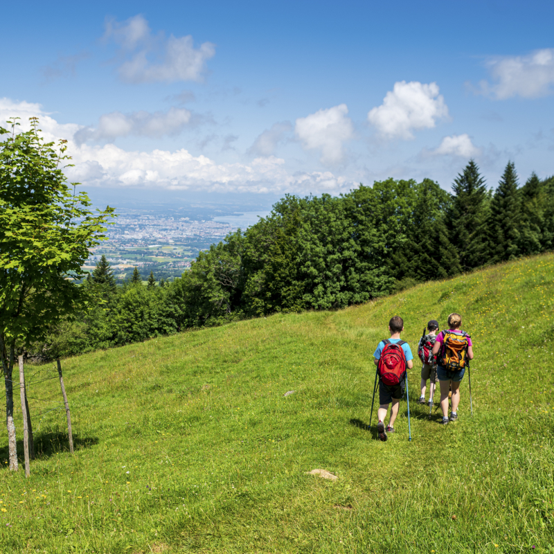
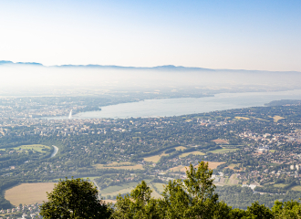
The Balcons du Téléphérique walk is ideal for a family outing.
With no difficulty and very little difference in altitude, this walk takes in the Salève mountain and its many viewpoints over Geneva and its jet d'eau, with the Jura in the background.
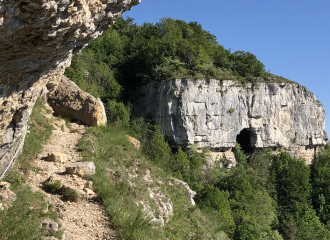
Located in an area of flora and fauna interest (ZNIEFF), you'll have the chance to discover some of the species that call this mountain home.
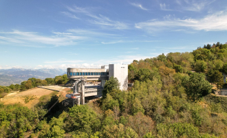
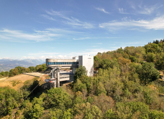
The aerial tramway is also an exceptional structure. Inaugurated for the first time on August 5, 1932, it enables you to climb the mountain in 8 minutes instead of 2 hours with the cog railway.
Unfortunately, the Second World War and the advent of the "all-car" system led to its closure in 1975. It was not until 9 years later that it resumed operation, and was improved from year to year until the current works.
1/ From the parking lot, follow signs for "L'Observatoire par sur le Grande Gorge" and pass the "Sur la Grande Gorge" sign.
2/ Once at "L'Observatoire", continue towards "Panorama de l'Observatoire".
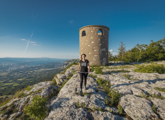
3/ From "Panorama de l'Observatoire" continue towards "Table d'Orientation GR".
4/ From the "Table d'Orientation" signpost, follow the signs for "Téléphérique Gare Supérieure GR", passing "Panorama du Mt Blanc".
5/ When you reach the cable car, continue your hike following the signs for "Grange Gaby par Pré Berger". You'll pass the "Pré Berger" and "Les Treize Arbres" signposts.
6/ At "Grange Gaby", follow the signs for "L'Observatoire" to return to the parking lot and your starting point.
From 15/05 to 01/11.
Subject to favorable snow and weather conditions.
Free entry but transport fee applies.
Contact et accès Parking Sur la Grande Gorge, Route des 3 Lacs74560 Monnetier-Mornex
Haute-Savoie (74)
Informations complémentaires

Ça peut vous intéresser


À proximité

Ackar Eric
JMF - 7byaero.com
Fun&Victory
fun & victory
STS - Agence Hemelka
JMF-7byaero.com
AGAS
fun & victory
Hotel Brun
randogeo
alpcat média
Alpcat Médias
1 Cross-country skiing
Salève-Croisette
La Muraz

Mountain
The Salève
Archamps
Sporting activities
Yukon escape
Monnetier-Mornex
Sporting activities
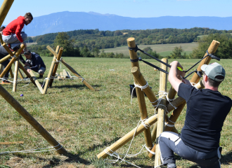
The Maze
Monnetier-Mornex
Leisure
Téléphérique du Salève – cable car
Étrembières
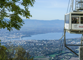
Viewpoint
Viewpoint: Téléphérique du Salève
Monnetier-Mornex
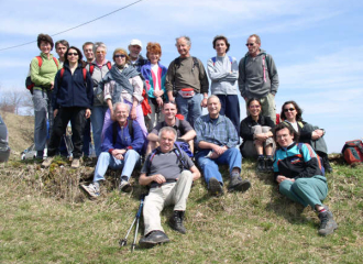
Associations
Association genevoise des amis du Salève
Veyrier

Sporting activities
Course de Relais hivernale
Monnetier-Mornex
Hotel - restaurant
Hotel Brun
Archamps
Sporting activities
Rediscovering Grand Salève
Collonges-sous-Salève
All inclusive
Stay: Between Salève and Geneva
Étrembières
Multiactivities
Stay: Le Salève de bas en haut
Étrembières
