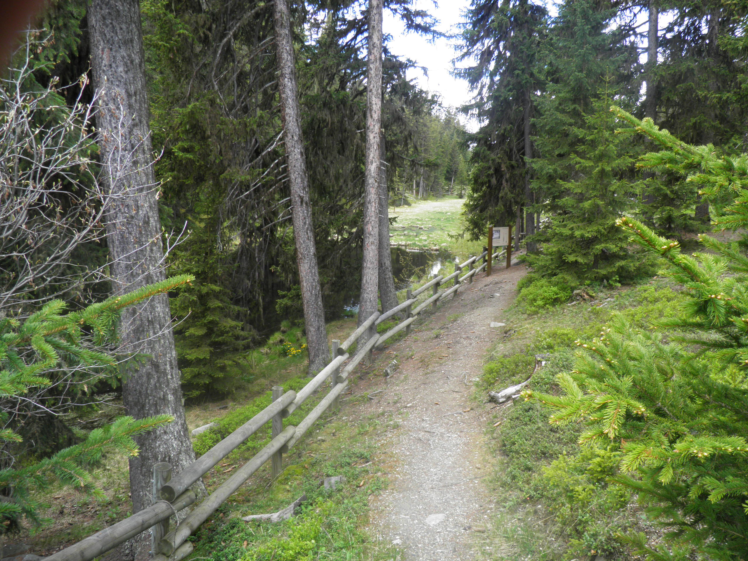
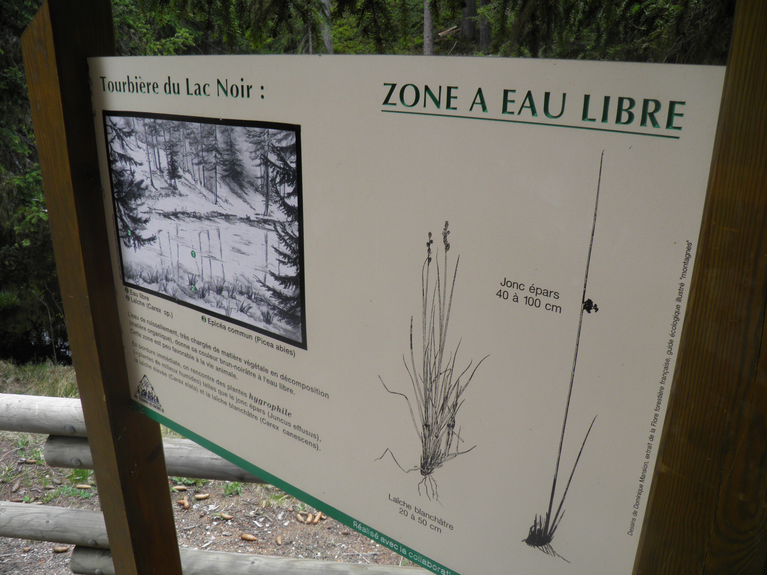
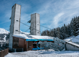
From Les Coches, go to the Orgère parking lot. The path starts in front of the Intersport store. From the parking lot, turn right (P) to reach the Crévaillet houses. Follow the path (P) up through the forest, crossing an old canal. The path crosses the mountain bike track (Caution) and continues on a gentle slope. Cross the meadow and continue slightly to the right (P). After a few hairpin bends, the trail reaches Lac Noir (P). Walk along the lake, which looks like a mosquito-inhabited swamp, then turn left. Join a forest road. Follow it to the left as far as the crossroads, then go right as far as the Le Poste restaurant. The path then goes left, joins the chairlift and after a short climb arrives at Plan Bois.
If you're taking the gondola, the trail can be followed on the way down (1h to 1h30). From the chairlift exit, turn left (P). Follow the path down to the Bijolin station. Cross over to your left to discover Le Poste restaurant (P). Descend to the right on a wide track that turns left after some 200 m. The path then leaves the forest track (P) and descends to the right to quickly find Lac Noir. Follow the lake to the right, then descend and cross the small road (P). A good path leads down into the forest, then back to the left (P). The path crosses the MTB track (Caution). After crossing an old canal, the path reaches the Crévaillet houses. Take the small road to the parking lot (P), then the path to the center of Les Coches.
REMINDER: our dog friends must be kept on a leash in the ski area, especially around Plan Bois and on sled dog outings.
Ouverture
From 28/06 to 30/08/2025.
Tarifs
Free access.
Contact et accès
L'Orgère
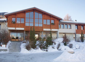
Les Coches
73210 Montchavin-les-Coches
Savoie (73)
Acceptés : Pets are welcome on the trail.
REMINDER: our dog friends must be kept on a leash in the ski area, especially around Plan Bois and the sled dog outings.
Visite
Durée moyenne (individuels) : 150 min
À propos de la randonnée
Type : Aller-retour
Dénivelé positif : 500 m
Dénivelé négatif : 1000 m
Altitude Max. : 1800 m
Distance : 8.6 Km
Length : 2H30
Niveau de difficulté : Moderé
Balisage : oui
Balisage : Yellow sign with green writing + trail name