GR® 9 from Mijoux to Culoz
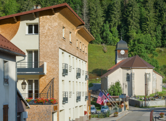
Mijoux
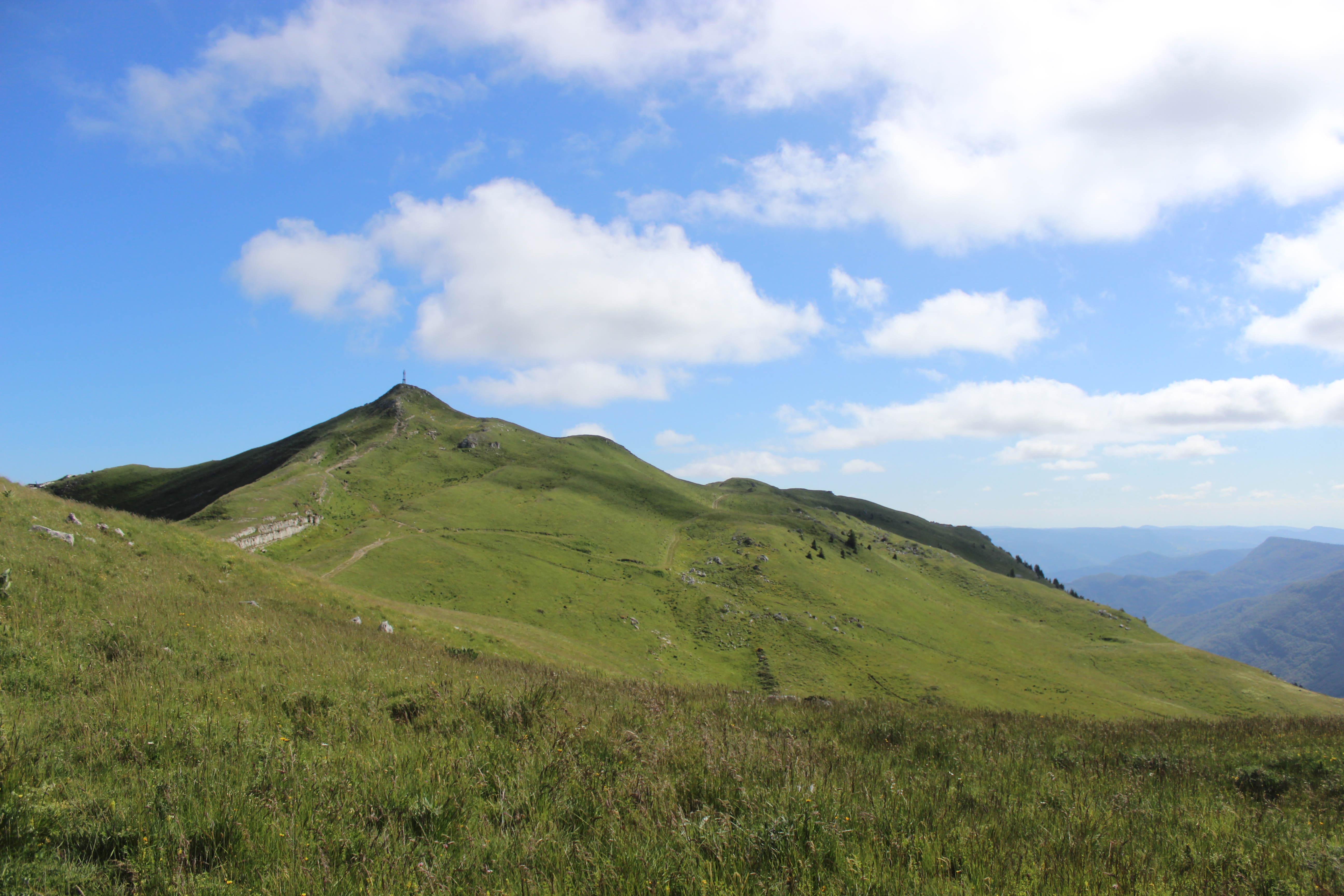
The GR® 9 arrives in the Ain département at Mijoux and follows the Monts-Jura ridge, passing Crêt de la Neige, the highest point in the Jura massif. It descends to Bellegarde before visiting the Retord plateau and crossing the Grand-Colombier. It then reaches Culoz and the Rhône valley, before leaving the Ain for Savoie and continuing southwards.
Guidebook with maps/step-by-stepStep-by-step instructions: From Mijoux to Culoz via the GR9 :
Day 1: Mijoux -> Refuge de la Loge, approx. 6h.
You follow the trail through the National Reserve.
Distance: 13.8 km
Difference in altitude:D+899 m/ D-451 m.
Itinerary: Follow the GR (red and white) through the village towards La Faucille, then Grand Mont Rond, Colomby de Gex, Col de Crozet, Refuge de la Loge.
Day 2: Refuge de la Loge -> Refuge du Gralet. Approx. 4 hrs.
You follow the trail through the National Reserve.
Distance: 11.2 km
Difference in altitude: 435 D+ / 435 D-
Itinerary: from the refuge de la Loge, follow the signs for “sous le crêt” for a good hour and a half to reach the highest point in the Jura massif: Crêt de la Neige 1720m. This beautiful aerial trail then leads to the summit of Le Reculet (1719m) and briefly over various crests. For the more adventurous (weather permitting), there is an alternative route. A path leads to the Grotte Marie du Jura. The path then goes deeper into the undergrowth, before arriving at the Refuge du Gralet.
Day 3: Refuge du Gralet -> Lancrans. Approx. 6 hrs.
Follow the trail through the National Reserve.
Distance: 17.8 km
Difference in altitude: 462D+/1419 D-
Itinerary: From Le Gralet on the GR (red and white) head for La Poutouille, La Pelaz, La Corne, Chalet du Sac, Pierre à Fromage, Crêt de la Goutte, Sorga d'en Haut, Métral, and Lancran.
Day 4: Lancrans -> Les Bergonnes
Distance: 22.15 km
Difference in altitude: 1099 D+ / 379 D-
Itinerary: From Lancrans, follow the GR downhill towards les pertes de la Valserine, Bellegarde-sur-Valserine, Gare de Bellegarde, Rue Lafayette, Mussel, Ochiaz, Catray, Pra devant, la Charnay, le Tumet, Crêt du Nu and Croix des Terments. (A short detour to Les Bergonnes for the night).
Day 5: Les Bergonnes -> Chalet D'Arvière. Approx. 4h30
Distance: 15.3 km
Difference in altitude: 349 D+/ 334D-
Itinerary: From Les Bergonnes, follow the GR to Croix des Terments, Planvanel, Crêt Dauphin, Col de Richemond, Grange d'en Haut, Grange d'en Bas and Chalet d'Arvières.
Day 6: Chalet D'Arvière -> Culoz; Approx. 6 hrs.
Distance: 19.8 km
Difference in altitude: 386 D+ /1333 D-
Itinerary: From Chalet D'Arvières, still on the GR, follow Sapin Daubré, Col de Charbemène, Croix du Colombier, Col du Colombier, Grange à Masse, Granges neuves, then Culoz.
Free access (weather depending)
TarifsFree of charge
La nuitée de certain hébergements sont payant
Topo guide réf. 901 : Tour et traversées dans l'Ain (GR 9/GR 59 et GR de Pays)
01410 Mijoux
Ain (1)
Informations complémentaires
Ça peut vous intéresser

Salle omnisports de Giron


The Mont Rond

Course de Cuvéry FFPTC

Refuge de la Loge
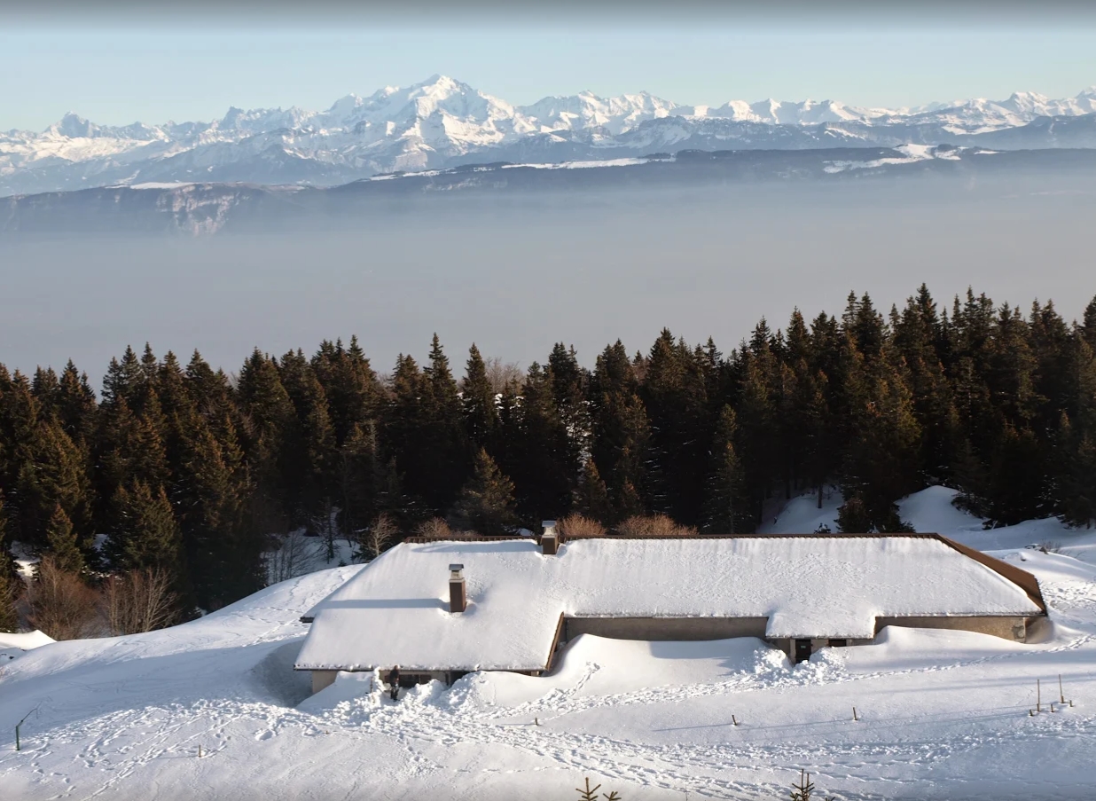

Refuge du Gralet
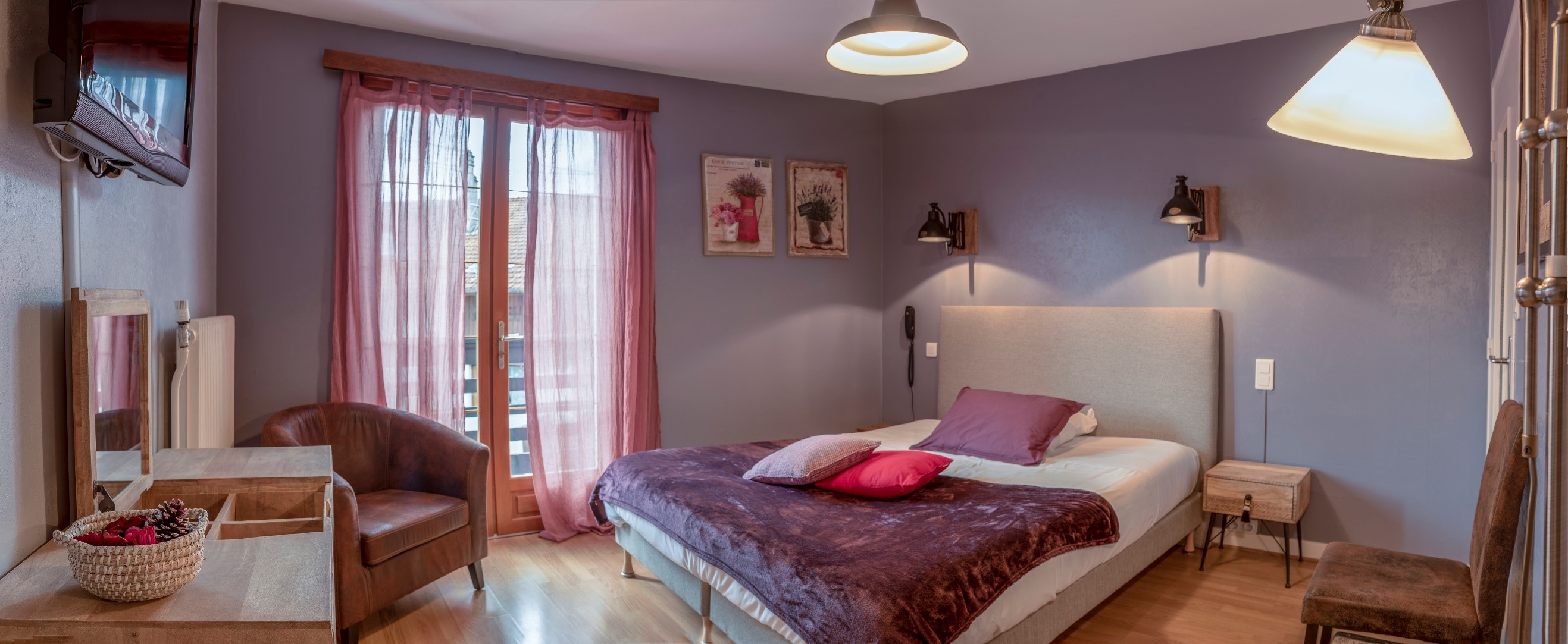

Hôtel Le Sorgia
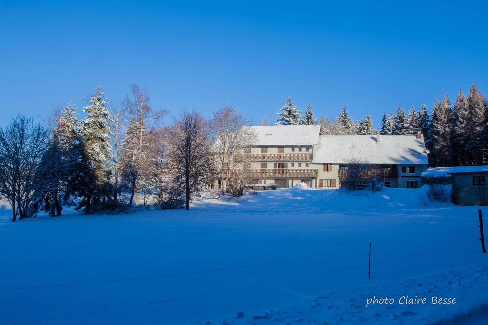

Chalet Jean Macé


Gîte Les Pelaz – chez Les Favre

Ferme des Bergonnes
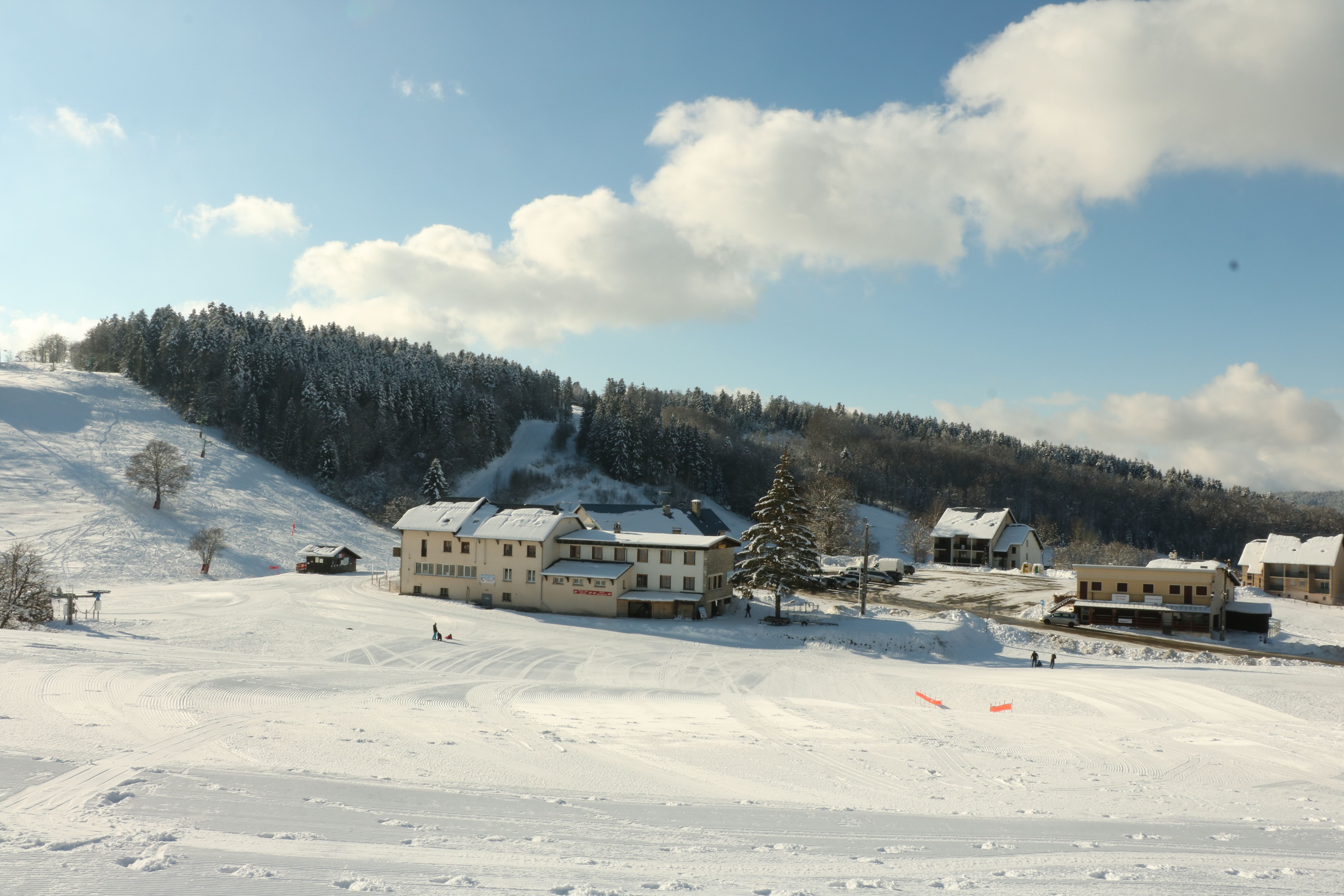

Hotel Restaurant Berthet


Gîte Chalet d’Arvières


Gîte Chalet d’Arvières
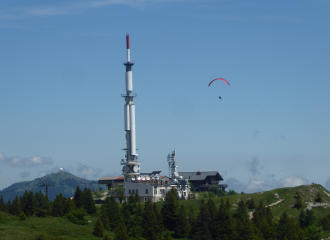
The Mont Rond
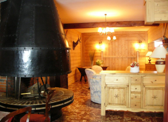
Hôtel de la Couronne
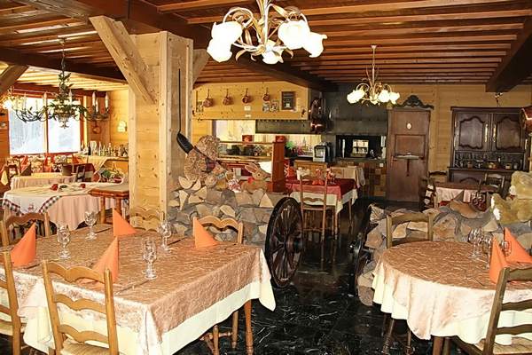
Restaurant de la Couronne
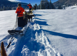
Introduction to dog sledding with Qimmiq
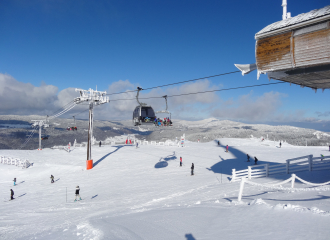
Mijoux-La Faucille : ski resort

Les Berlicants Scandinavian room n°7
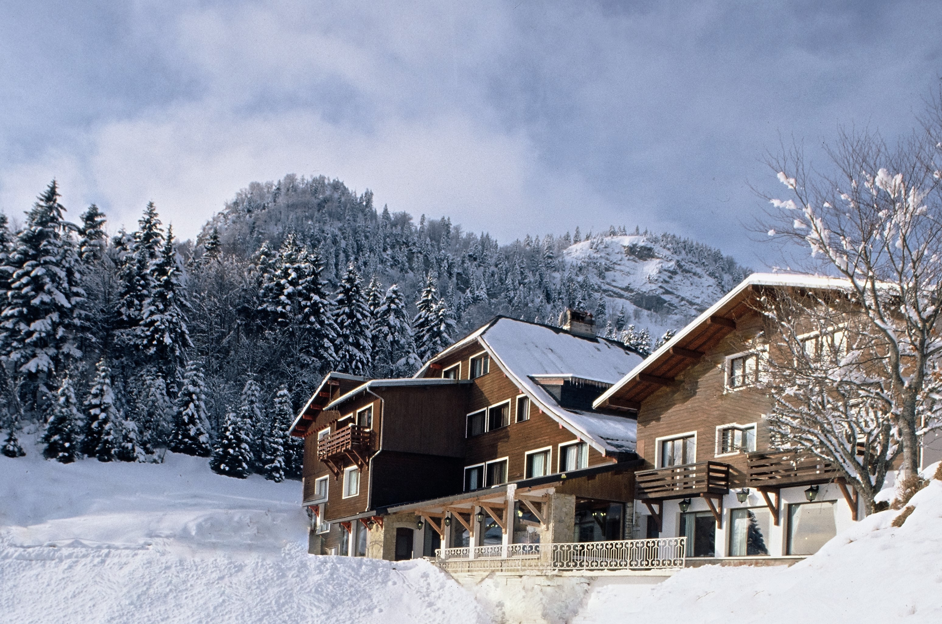
Hôtel La Mainaz
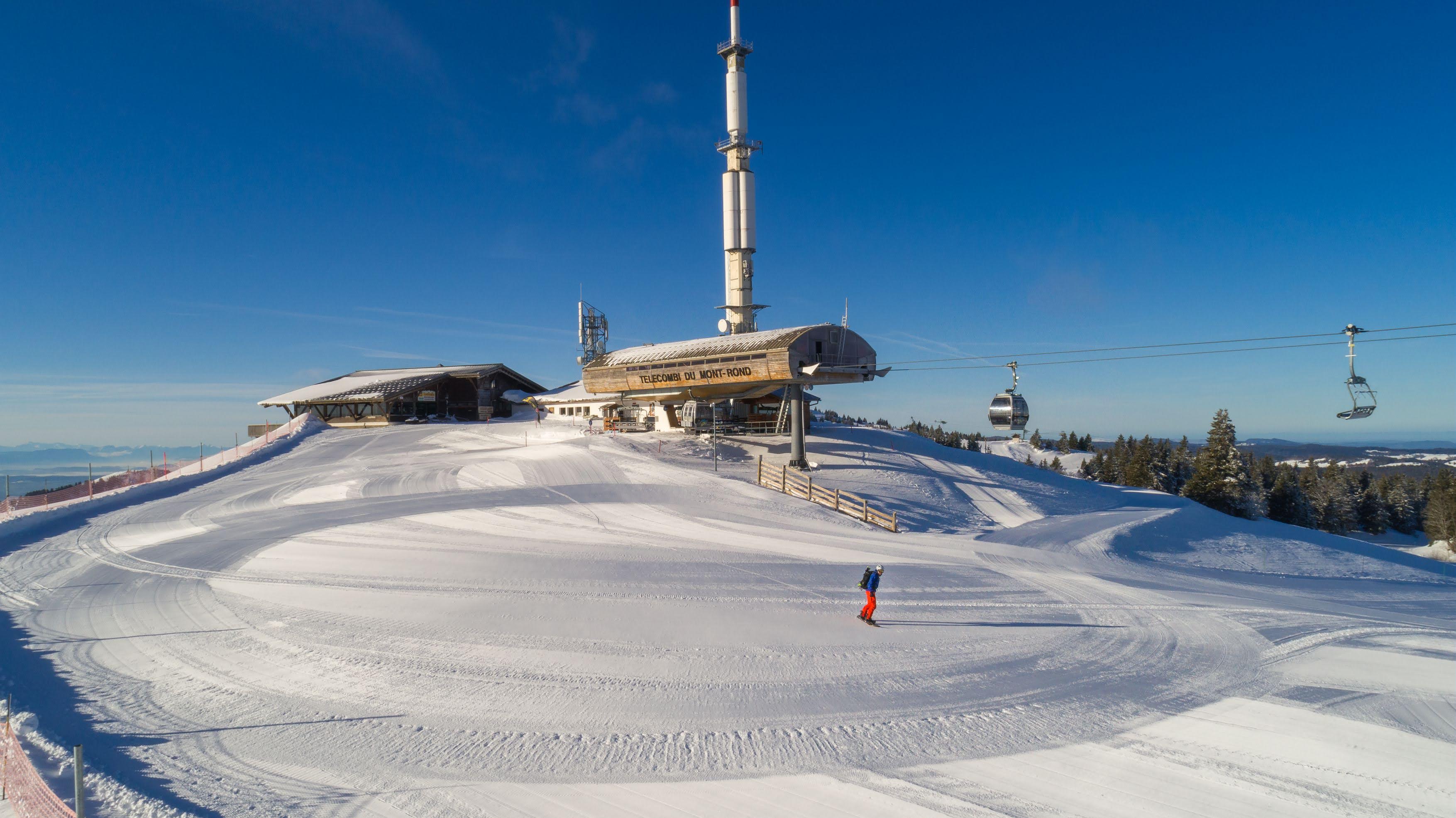
Télécombi le Mont Rond
Office de Tourisme du Pays de Gex – Bureau d’information de Mijoux

La Croustille restaurant and bar
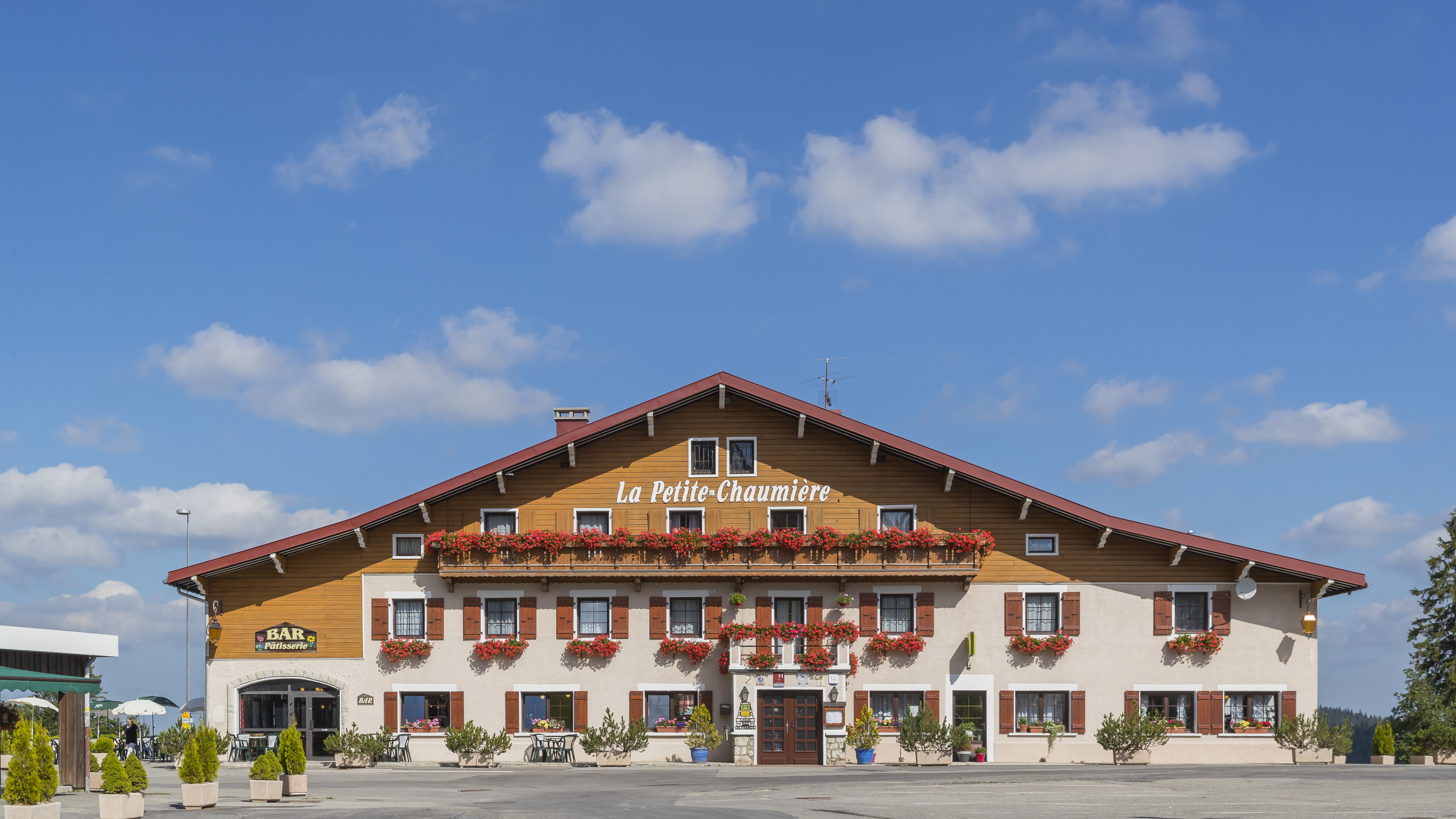
Restaurant – Bar La Petite Chaumière
