


Sport
Cycling loop: Circuit de la Vallée Verte
Haute-Savoie ()


Description
Haute-Savoie (74)
Informations complémentaires

Y Tisseyre /CCHC

Yvan Tisseyre/CCHC
OTADL_pbonnet
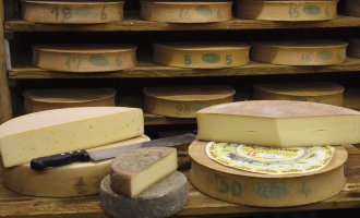
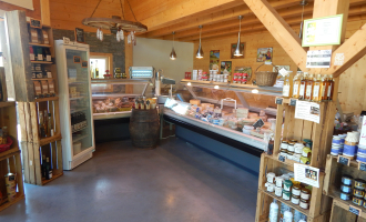
Fruitière de Bogève
OTADL-gilles Place
Office de Tourisme des Alpes du Léman
A medium-difficulty circuit with the ascent of the Col de Cou (1,117 m), rewarded by a complete descent of the Vallée Verte. If you leave from Thonon-les-Bains, you'll climb the Col de Terramont (1,090 m) and the Col de Saxel (943 m).
Departure point / TER: Annemasse or Thonon-les-Bains, parking de Crête
Length: 69 km or 66 km
Difficulty: red
Total ascent: 700 m or 840 m
Direction: clockwise
Landmarks and connections from Annemasse : Ville-la-Grand (joint start with Balcons d'Annemasse #26, Tour des Voirons #27 and Annemasse / Thonon-les-Bains link #23); Machilly (separation from Balcons d'Annemasse #26) ; Brens (separation from Annemasse / Thonon-les-Bains route no. 23); Bons-en-Chablais (separation from Tour des Voirons route no. 27); Boëge (joint return with Tour des Voirons route no. 27); Pont Morand (not-to-be-missed exit from départementale 20).
From Thonon: Armoy (separation from Circuit de Planbois n°50); Vailly / Sous-la-Côte (separation from Tour du Roc d'Enfer n°37); Habère-Poche (separation from Tour du mont d'Hermone n°29); Boëge; Draillant
TER stations: Machilly, Bons-en-Chablais
If the Vallée Verte is defined as the Menoge valley, then this itinerary from Annemasse will take you all the way from top to bottom in its second part. To reach the top of this magnificent landscape slide, you'll need to climb to the top of the Col de Cou, which isn't all that formidable. In fact, the average gradient from Draillant is less than 5% over the 10 km ascent. After the "crazy descent of the Vallée Verte", make sure you leave the D20 at the Pont Morand (right-turn sign) to finish in peace.
From Thonon, take the D26 and D22 up to the Col de Terramont. After Boëge and the Col de Saxel, don't forget to turn right at the third hairpin on the descent, to join the D35 and Cervens, then Draillant.
From 01/01 to 31/12.
Accessible outside of snowy periods depending on weather conditions. Contact the Tourist Office beforehand for information on current conditions.
Free access.
Contact et accès 74100 AnnemasseHaute-Savoie (74)
Informations complémentaires

Ça peut vous intéresser
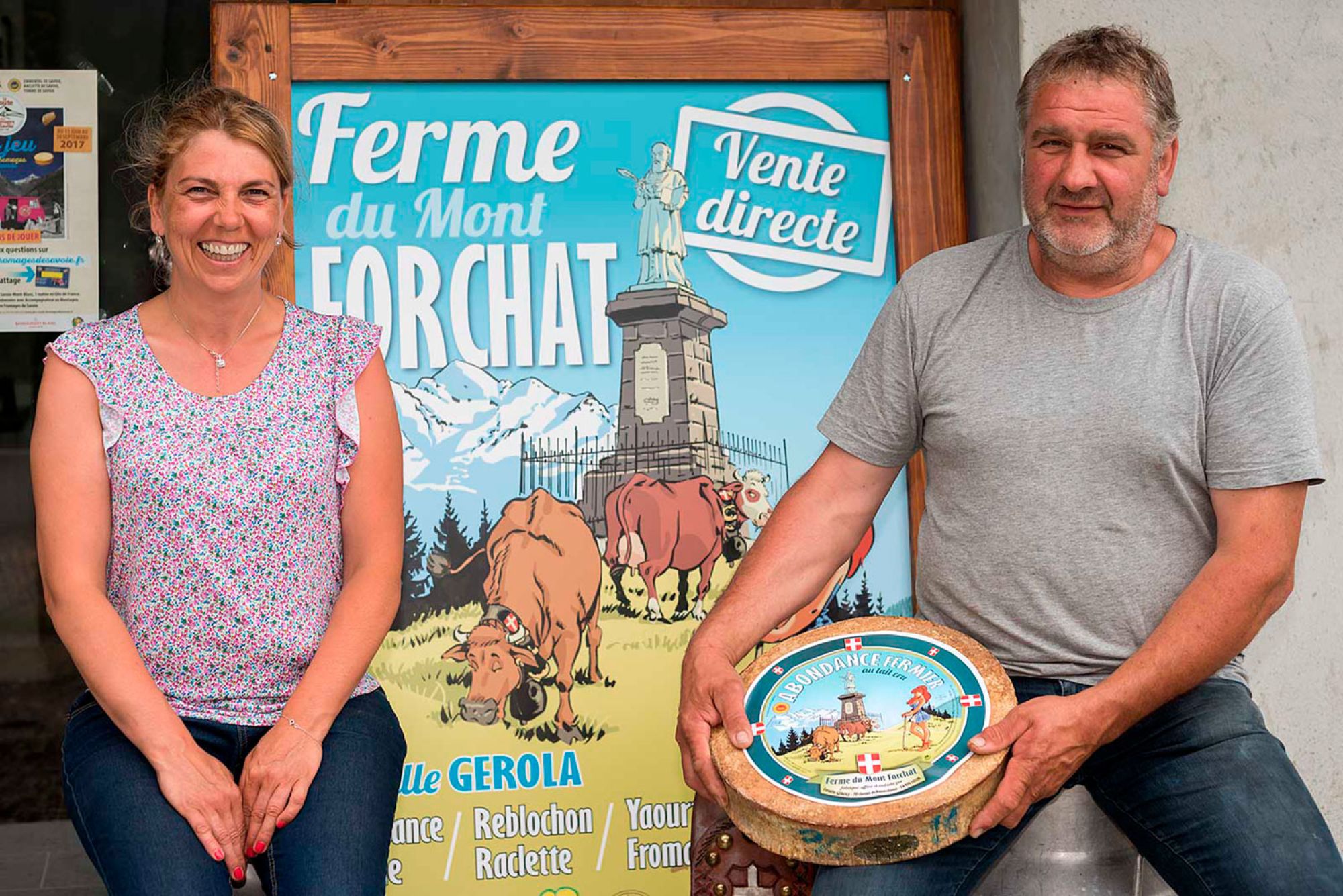
Ferme du Mont Forchat
Lullin
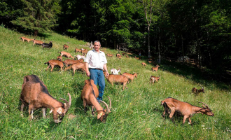
La Ferme du Petit Mont
Bellevaux
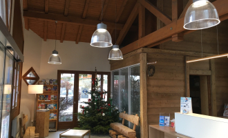
Les Alpes du Léman Tourism Office – Habère-Poche office
Habère-Poche
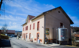
Fruitière de Bogève
Bogève
GAEC le Chalet
Boëge
GAEC Le Plâne
Saint-André-de-Boëge
À proximité
Hotel Du Centre
Patrice Normand - Les éditions de l'Olivier
OT MDG
montsdegeneve
Asptt Annemasse
Les papilles
Merci de sélectionner une région, une état ou une province.
The Originals
Jan KOPP
Au bureau Annemasse
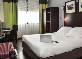
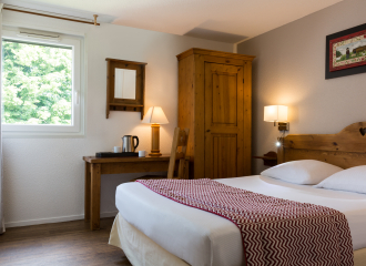
Hotel
Hôtel du Centre
Annemasse
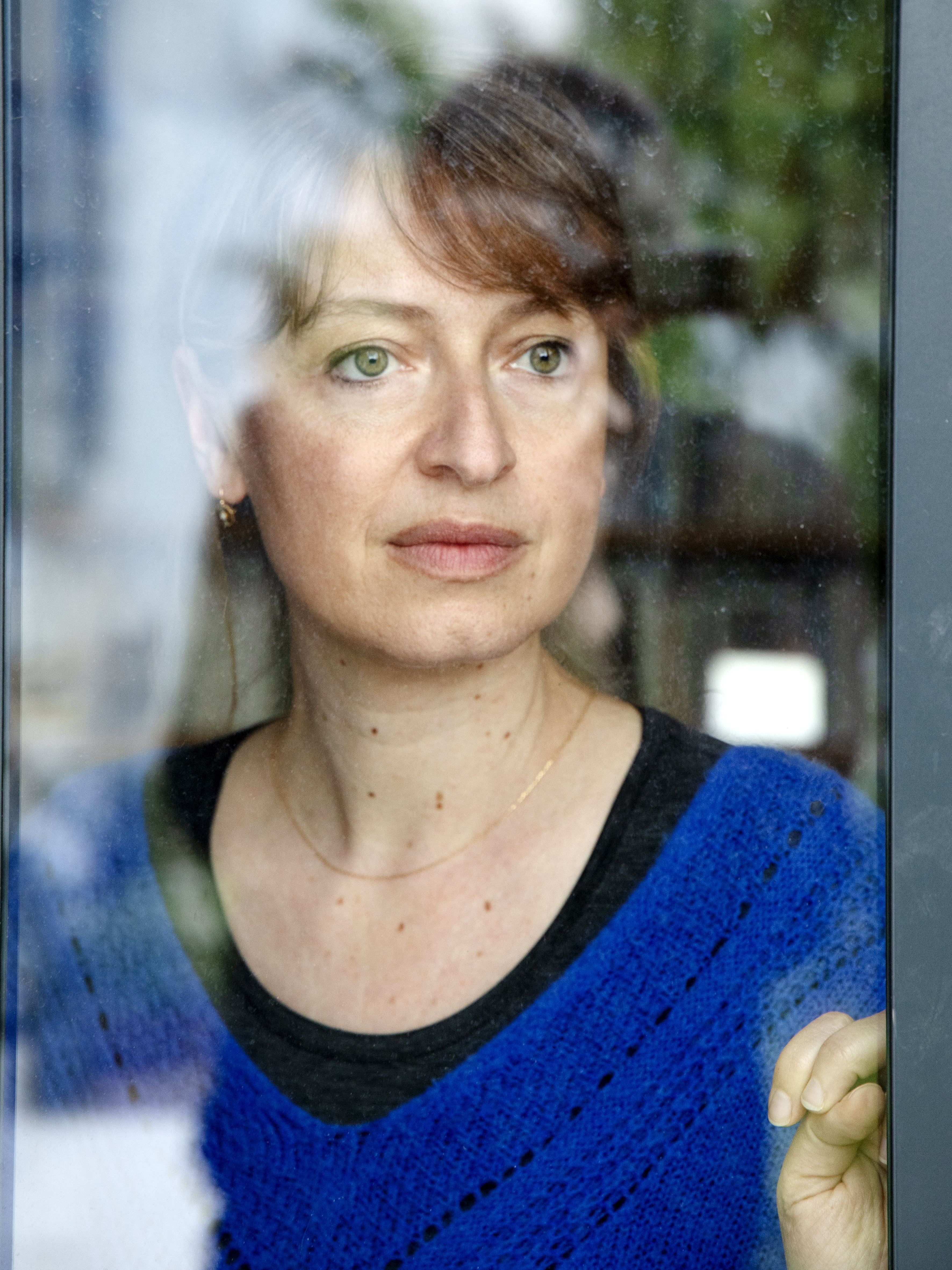
Cultural
Saison littéraire 2025 : Rencontre avec Hélène Gaudy
Ambilly
Tourism institutions
Maison de la Mobilité et du Tourisme
Annemasse
GAEC de Vorzier
Reignier-Esery
Sporting activities
Birthday party at Filenvol
Monnetier-Mornex
Sporting activities
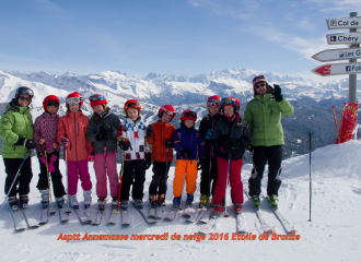
Ski lessons
Annemasse
Traditional cooking
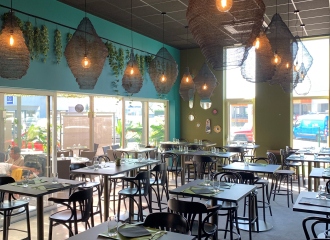
Les Papilles
Annemasse

Brasserie
Le Bérénice
Annemasse
Rent your own escape box
Annemasse
Hotel - restaurant
The Originals Annemasse Sud Porte de Geneve
Gaillard
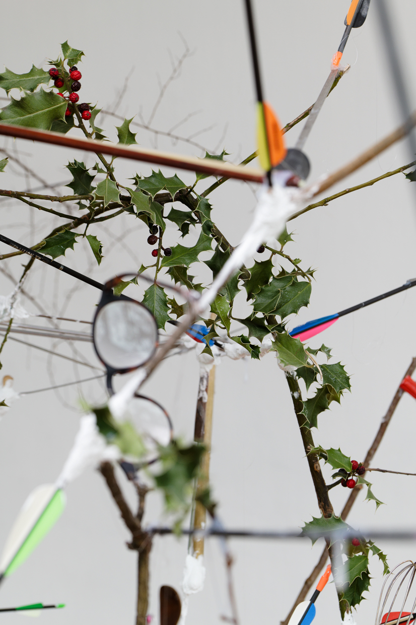
Cultural
“Sous le silence” une exposition de Jan KOPP
Annemasse
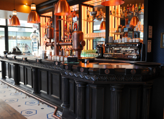
Brasserie
Au bureau Annemasse
Annemasse
