Cols & panoramas de Chartreuse
Isère ()
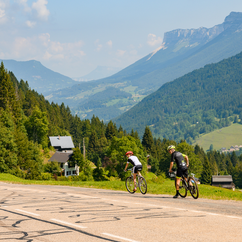
(1) In Saint-Étienne-de-Crossey, take the road D49 towards Saint-Nicolas-de-Macherin, leaving the football field on your left. 1 km after St-Nicolas-de-Macherin, take right on the road D49c, towards Saint-Sixte. The road ascent slowly in the middle of pastures.
(2) After Saint-Sixte, stay on the road D49c, towards Merlas. Then, take the road D28 towards Miribel-les-Échelles. The ascent continues until the col des Mille Martyrs (884 m). After the col, start the descent to Miribel-les-Échelles.
(3) Coming out of Miribel-les-Échelles, take left on the road D49, towards Entre-deux-Guiers.
(4) In Entre-deux-Guiers, at the traffic light, take the facing street (rue Basse). At the end of the street, take right and then left on the road D520c, towards Saint-Christophe-sur-Guiers. Stay on the road D520c, cross the village of St-Christophe-sur-Guiers and follow the direction of St-Pierre-d’Entremont. After Berland, the way up to St-Pierre-d’Entremont begins. Without major difficulty, the road goes along the Guiers Vif river on several kilometers. The Pas du Frou, a rather impressive corbel arch passage, offers a beautiful view on the surrounding mountains and the valley shaped by the river.
(5) In St-Pierre-d’Entremont, in front of the tourist office, turn right towards St-Pierre-de-Chartreuse. Coming out of St-Pierre-d’Entremont, make sure you follow the road D102b, on your right, which goes up to Préversin. There begins the ascent of the col du Cucheron, the most difficult part of the itinerary: 8.5 km with a 8.3% ascending slope (up to 10%).
(6) At the col, before starting the way down to St-Pierre-de-Chartreuse, a backward glance is worthy! In St-Pierre-de-Chartreuse, ride down to St-Laurent-du-Pont on the road D512. The road goes along the gorges of the Guiers Mort river and through several tunnels where lights are useful.
(7) At St-Laurent-du-Pont, at the traffic light, take left. 150 m further, take right on the D28 towards Miribel-les-Échelles. Stay on the D28 for one of the last ascents, until the junction with the D49.
(8) There, take left on the D49, towards St-Étienne-de-Crossey and go back to your starting point via St-Roch and Ture. At La Rossetière, at the roundabout, be careful to take the chemin de la Burletière to avoid the main road. At the end of the path, go right on the D49 until the next junction. Take the chemin des prairies on your right to reach your starting point.
From 01/05 to 31/10.
Subject to favorable weather.
Free access.
Contact et accès 38960 Saint-Étienne-de-CrosseyIsère (38)
Informations complémentaires
Canyoning et Grimpe avec Pep’S Nature
“L’Attract’Yves” Microbrewery
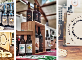
Brasserie Coeur de Chartreuse
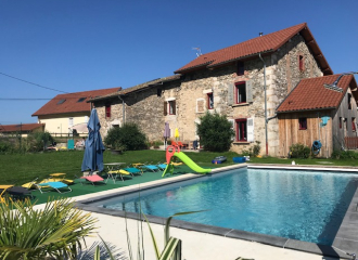
Gîte Bee’n’Bee «Le Baco»
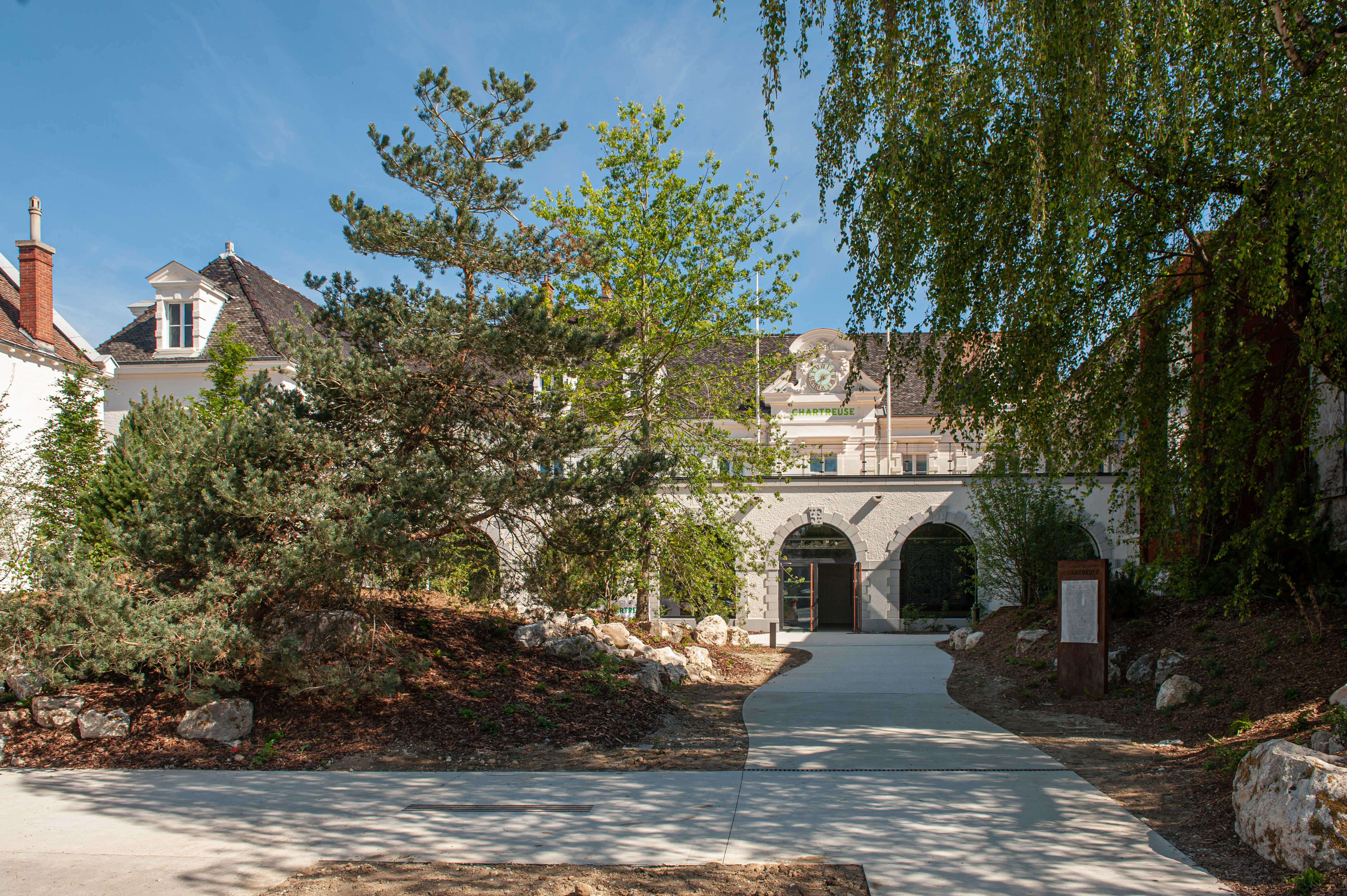
The Chartreuse Cellars
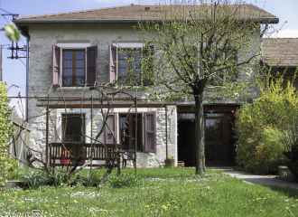
Au Pré Chardon “Gîte Valériane” Cottage

Nordic walking with Nathalie Mathieu
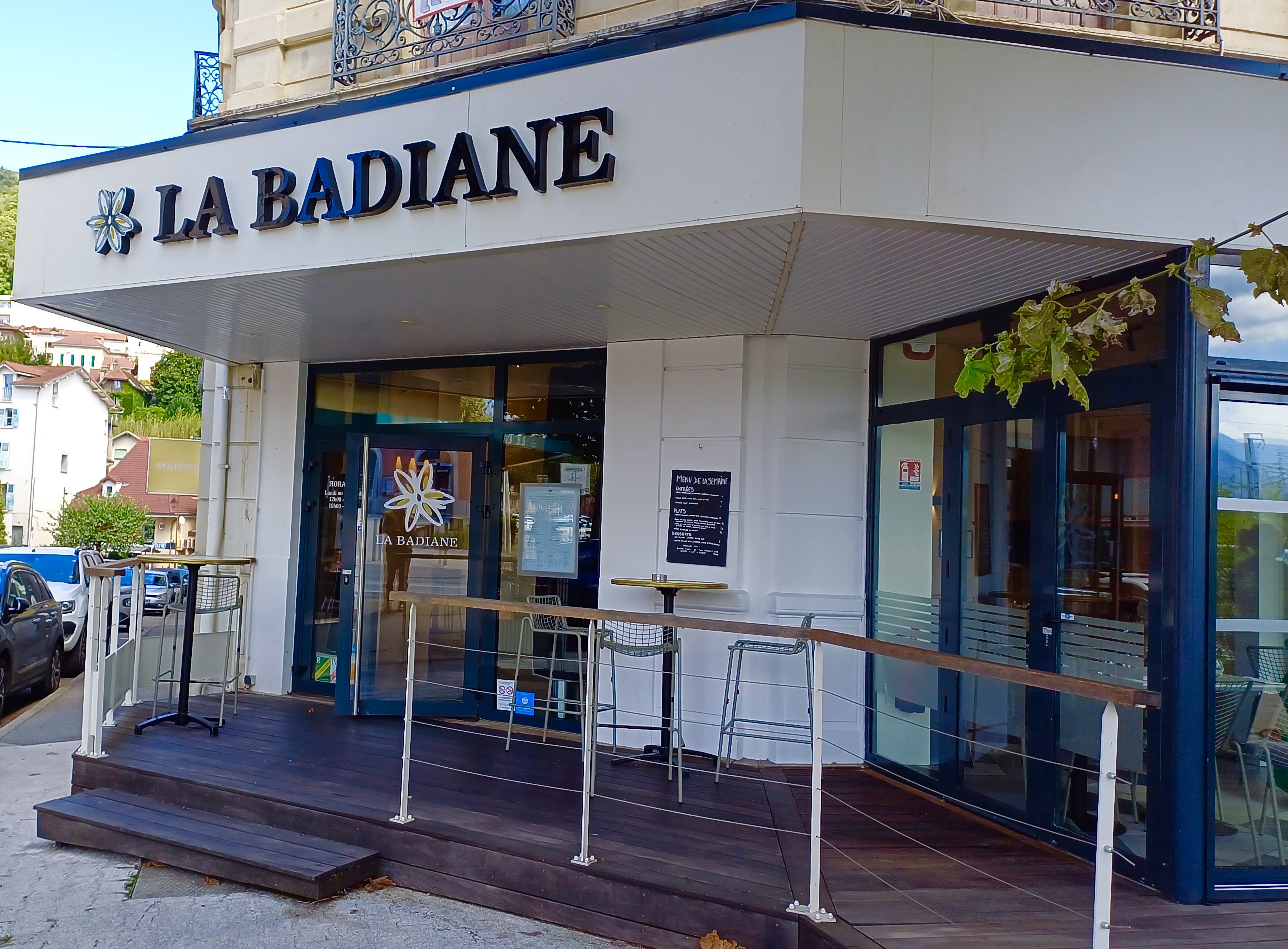
Restaurant La Badiane
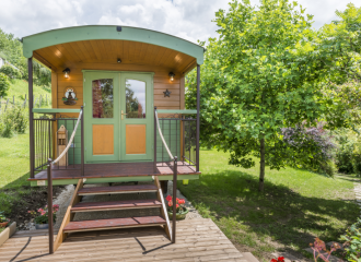
Charming trailer at Animal Paradise
Initiation spéléo à la Grotte de St Aupre avec Acet’eau
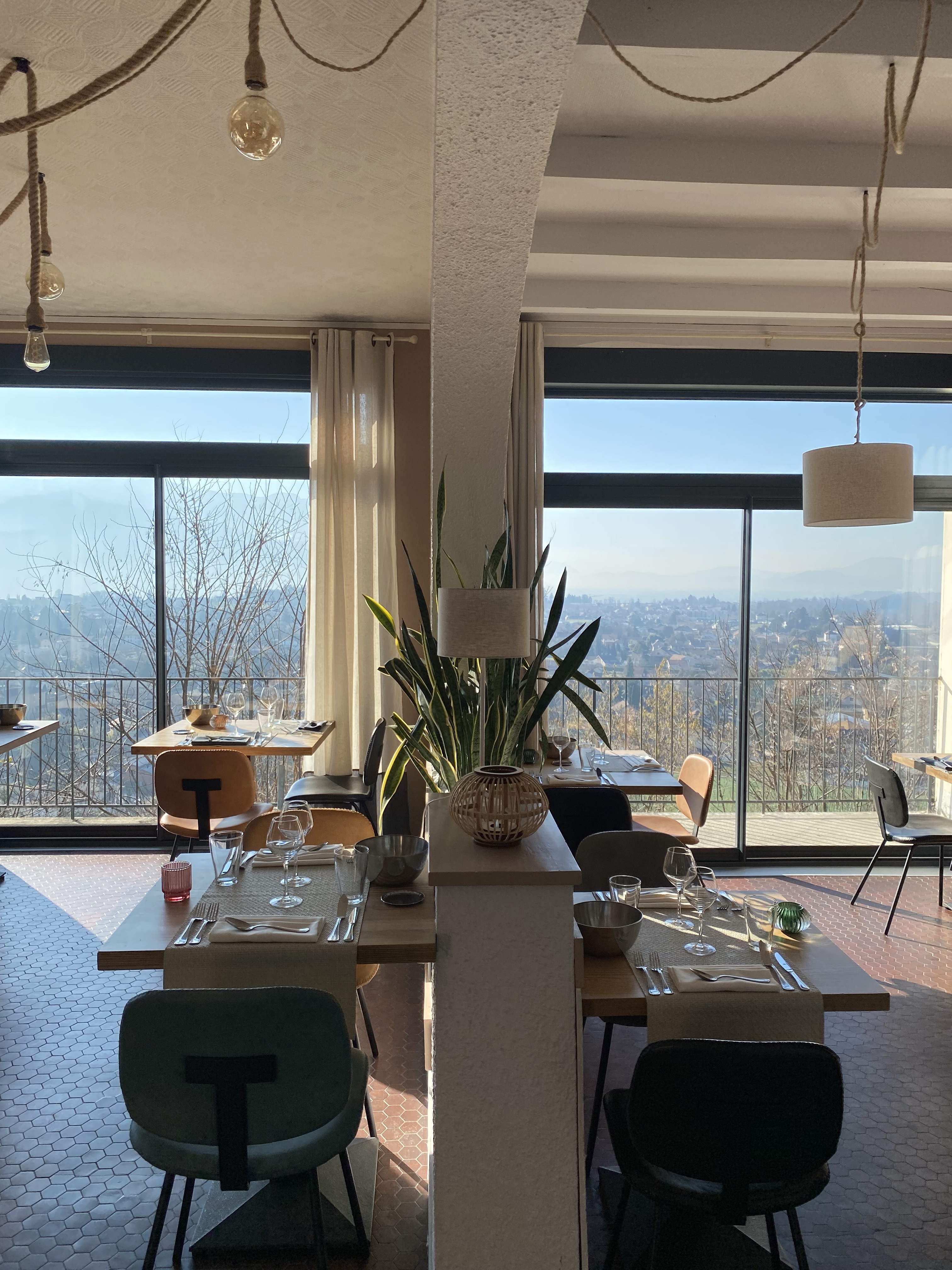
L’Eden restaurant
