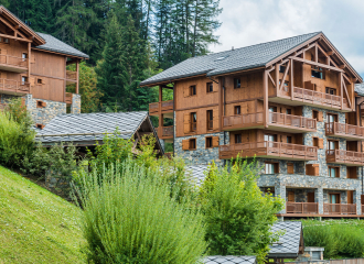
Col de la Chail - Refuge du Mont Pourri. Musée Regaud. (Boucle)
Peisey-Vallandry

Au sortir du télécabine (2 570 m), on descend vers le col de la Chail (2 457 m) et on prend la direction du lac des moutons (2 574 m). On rentre alors en coeur de parc national de la Vanoise. On longe le petit lac pour prendre le sentier descendant vers une belle tourbière au pied du contrefort de l'Aiguille du Saint Esprit. On profite d'une pause au refuge du Mont Pourri ( 2 370 m) et on fait le crochet vers l'ancien refuge Regaud (2 460 m), au pied de la moraine du glacier du Geay : histoire de l'alpinisme local. On quitte le refuge du Mont pourri par la piste pastorale montante. On passe le col de la commune (2 548 m) au milieu des combes à neige. la piste passe encore en amont d'un joli lac, juste avant de rejoindre le col de la Chail.
Guidebook with maps/step-by-stepAt the end of the cable car (2570m), you descend to the Col de la Chail (2457m) and head towards the Lac des moutons (2574m). We then enter the heart of the Vanoise National Park. We walk along the small lake to take the path down to a beautiful peat bog at the foot of the Aiguille du Saint Esprit. We take a break at the Mont Pourri refuge (2,370 m) and make a detour to the old Regaud refuge (2,460 m), at the foot of the moraine of the Geay glacier: a history of local mountaineering. We leave the Mont Pourri refuge by the ascending pastoral track. We pass the col de la commune (2,548 m) in the middle of snowy combes. The track passes above a pretty lake, just before reaching the col de la Chail.
OuvertureAll year round.
TarifsFree of charge.
Contact et accès Le Chalet73210 Peisey-Vallandry
Savoie (73)
Informations complémentaires
Ça peut vous intéresser
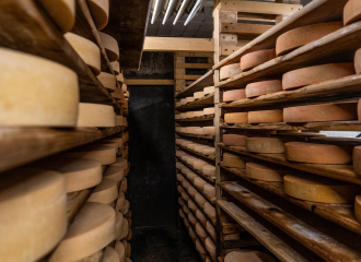
Fromagerie de Peisey
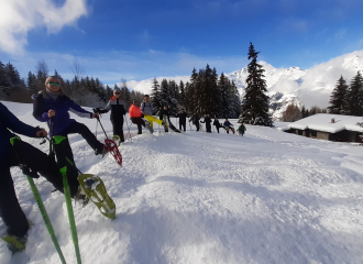
“Bain” de forêt au printemps
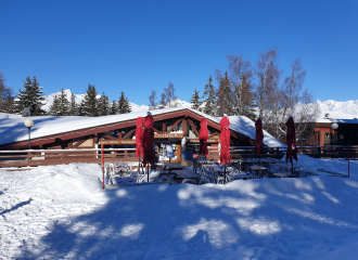
ICEBERG
Chairlift Le Grizzly
Hôtel Emeraude
Speedriding aux Arcs – Cours particulier journée

Sortie naturaliste en herbe
Belliou
Vol en parapente pour piéton
Village Club MMV Les Mélèzes 4*
Discover the Bettières via ferrata
