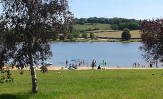
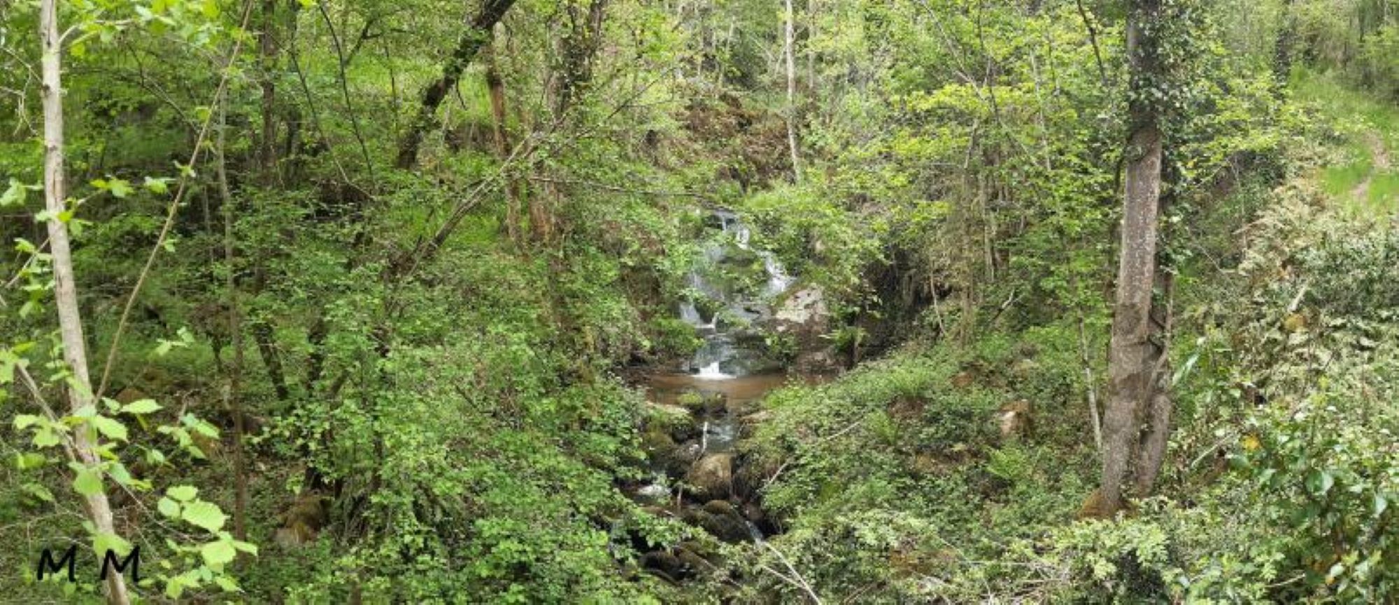
Cascade de Champeaux
Servant
Departure point: From Place de l'Eglise, walk down Rue de la Liberté, then left onto the D18 and right into Passage de l'Aigue.
Turn right onto the road and after 100m turn left towards the lake. At the fork in the road, turn right and take the path running alongside the lake as far as the dyke.
1 - Continue straight ahead. At the road, turn left and take the first track on the left.
At the crossroads in the hamlet, go straight on and turn onto the first road on the right. Follow this road for 600m.
Leave the hamlet of l'Etang on your right and at the crossroads take the track on your right. Ignore a track on the right (blue PR).
At the road go straight on, cross the hamlet and at the fork go right up to the road.
2 - Follow the road to the left and after 150m turn left through Les Bournats. Go straight down the track (with a view of the Sioule gorges) until you reach the road running alongside the Sioule.
Follow this road to the right for 700m until you reach a small bridge over a stream.
3 - Go right up a steep path along the left bank of the stream (Cascade de Champeaux) and join a cross-country track. Climb to the right to reach the plateau.
Leave a track on the right. At the road, turn left and go as far as the intersection at the entrance to Crozet.
4 - Keep left to go through the hamlet.
At the end of the bend, take the track on the right.
At the road, turn right and take the second track on the left. Continue for 800 m (view of Servant).
At the junction with a tarmac track, turn left. At the crossroads, turn left onto the road and at the crossroads, turn left onto a track. Go up to a road, turn right and then immediately left onto Rue des Rochers. At the crossroads, follow the route du Presbytère back to the starting point.
All year round.
TarifsFree access.
Contact et accès Place de l'Église63560 Servant
Puy-de-Dôme (63)
Informations complémentaires
Ça peut vous intéresser
La Yourte des Machelons

Camping des Tarteaux
Loop of the Pays de Menat

La Paillotte des Tarteaux
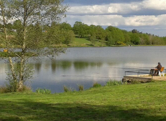
Picnic area – Plan d’Eau de La Prade
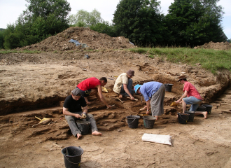
Paléovergne
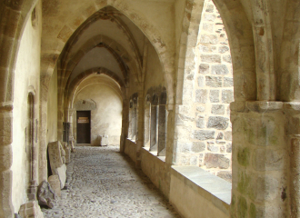
Menat Abbey
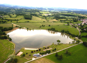
Fishing site – Plan d’Eau de La Prade
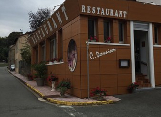
Restaurant C. Desmaison
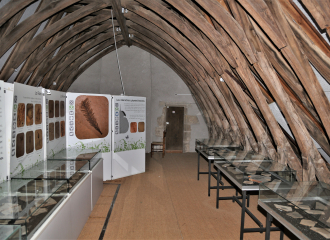
Museum of Paleontology
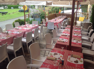
Le Beau Site


