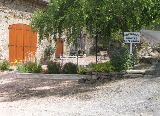
Boucle du Pays de Menat : Étape n°6 Le Peyroux - Servant
Teilhet
Stage 6: Le Peyroux / Servant: 23km - 6h45
Start: Climb the dirt track below the chambres d'hôtes. At the T-junction with a wider track, keep right until you reach the D987. Take the road to the left, then fork right towards Chez Vareille.
1 - After the village, at the intersection of two dirt tracks, turn left, then left again at the T-junction. After 200 m, turn right onto the track bordered by a large embankment. At the T junction (the village of Les Chabriots can be seen opposite), climb the coloured dirt track on the left. Continue straight
straight ahead, on the track and then on the asphalt, until you reach the main road to the village of Les Beauforts.
2 - Follow the road to the left for 50m, then, immediately after passing a bricked-in well, turn right. At the stop sign, follow the D987 to the right for 300m, then take the first turning on the right towards the Bois des Brosses (arboretum and menhir on the left), ignoring the forks on the left.
to the village of Piogat.
3 - At the “T” junction of two roads, turn left. At the crossroads with the D509, go straight ahead on the wide gravel track (view of Menat village). At a small tin shack, go left up another gravel track. Cross the main road and continue along the track opposite. At the road, turn left through the village of “Les Querriaux” to a cross on the left.
4 - Take the small road on the right (opposite the cross). Turn right at all subsequent intersections until you reach Deux Forts. Back on the road, at the first crossroads, turn left down the dirt track. Cross a stream twice on wooden footbridges.
5 - After the second footbridge, turn left. At the ruins of the “Moulin du Bois”, take the right-hand track. At the next crossroads, turn right around the bend and cross the Saugère road.
6 - At the fork, take the road to the right. At the T junction, continue right along a small pond, then stay on the road until you reach Les Pignons.
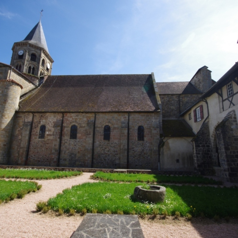
7 - Take the dirt track on the left at a wooden cross framed by two cedar trees. Continue straight on to Servant. Pass the church. Turn left onto the main road, then left again after 100 m at the public weighbridge. Once out of town, pass the oratory and turn right onto the dirt track, then right again at the intersection with a second track. After a ten-metre stretch of tarmac, continue on the dirt track. Back on the road, turn right at a ruined house. At the “T” junction, keep right, then follow the “Plan d'Eau” signs until you reach the “Plan d'Eau”.
All year round.
TarifsFree access.
Contact et accès Le Peyroux63560 Teilhet
Puy-de-Dôme (63)
Informations complémentaires
Ça peut vous intéresser
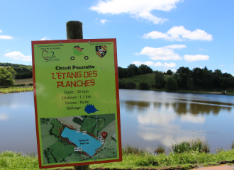
Circuit poussette – Étang des Planches
Mini Camping – Domaine des Rêves
Gîte Les Fayes

Headstock Mine II
Mini Camping Les Fayes
Land Art Etang des Planches

Domaine des Rêves – Tentes équipées
