


Leisure
"Au fil du Giffre" signposted trail
Morillon
Description
74440 Morillon
Haute-Savoie (74)
Informations complémentaires
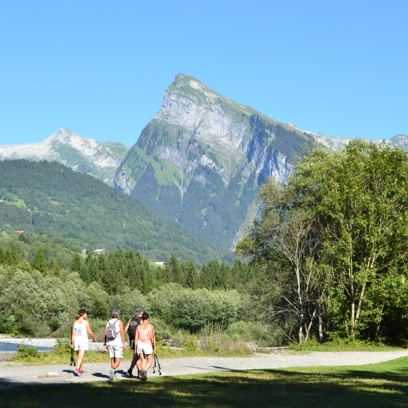
Start point: Lac Bleu Morillon village
Duration: 2 hrs return
Difference in altitude: 0m
Altitude at start: 700m
Altitude at finish: 700m
Map reference: Walking map to be requested from the Tourist Office
Pushchair access: Yes, with "all terrain" pushchair
Type of terrain: Earth and stones
Level of the walk:
- Stroll (0 to 300m difference in altitude/- than 2 hrs walking)
Particular difficulty: None
You can follow the river over a distance of 12km to Samoens and Sixt Fer à Cheval over completely flat terrain.
Another 10km further over more craggy terrain towards Fer à Cheval.
You can also follow the Giffre towards Taninges for several km.
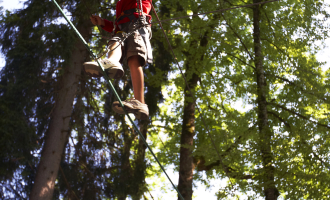
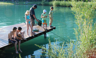
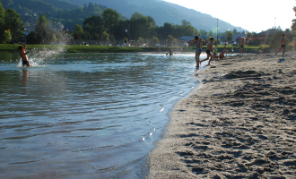
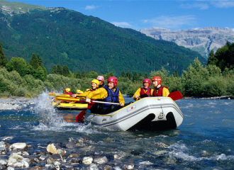
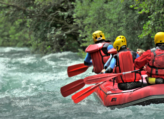
Pleasant in very hot weather as there are cool areas due to being near the river. You will see rafting and paragliding. Passes near to the leisure centres at Morillon and Samoens.
Panorama of the Giffre valley.
To get to Samoëns : From Lac Bleu de Morillon, follow the Giffre along its left bank. At 3/4 of the way along, the R'Biole bridge allows you to cross the Giffre and continue along the right bank. You will arrive at Lac aux Dames.
To get to Taninges: From Lac Bleu de Morillon, cross the road to the other side. Walk along the Giffre as far as the gravel pit at La Rivière Enverse, take the bridge to cross the river. Follow the path on your left.
Translated with DeepL.com (free version)
All year round.
Contact et accès Morillon village74440 Morillon
Haute-Savoie (74)
Informations complémentaires

Ça peut vous intéresser

À proximité

Évènement terminé
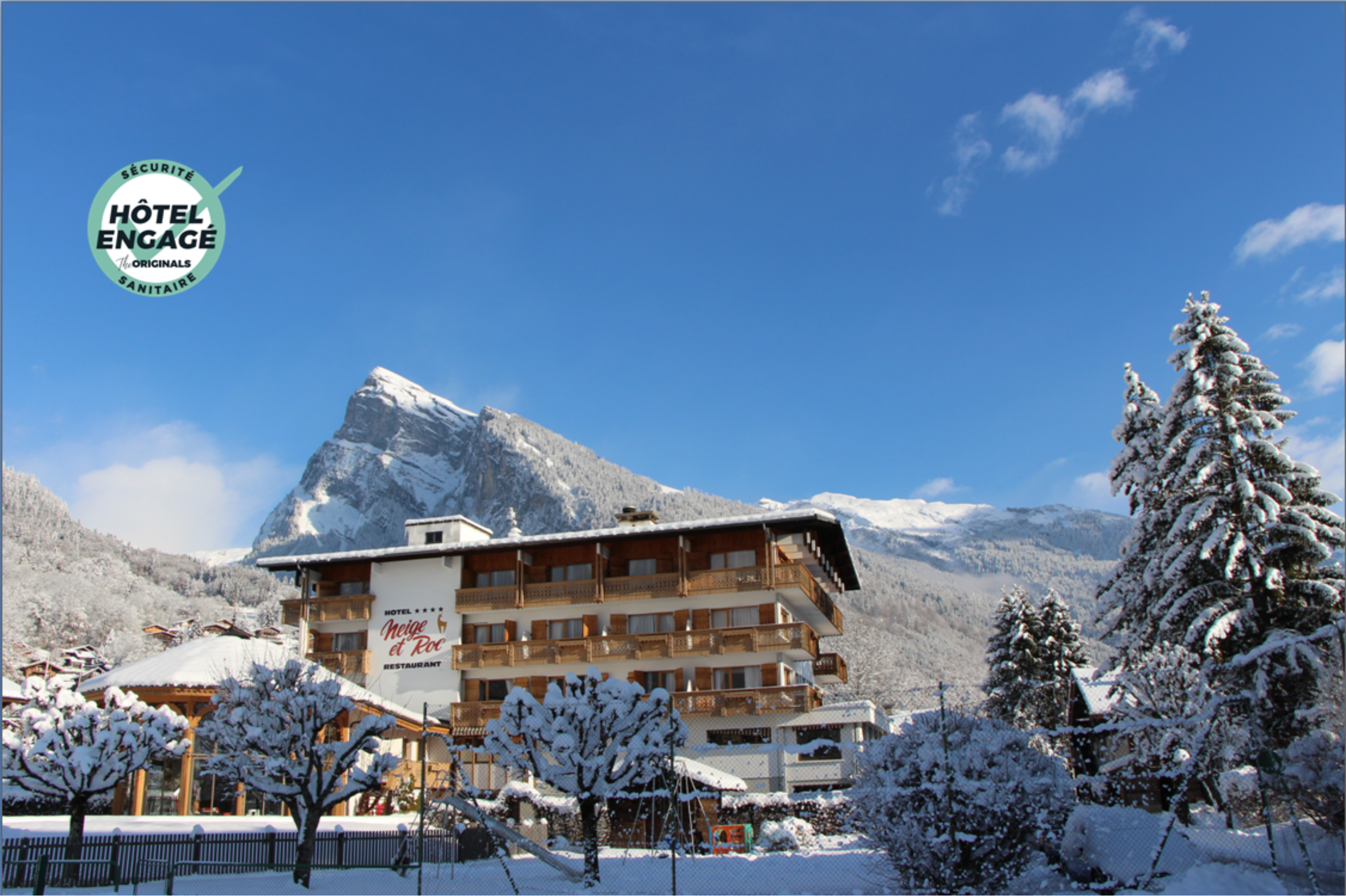
Hôtel Neige et Roc
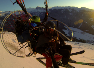
profeel parapente
Caroline Debray
Libre de droit
Bouilleur de photo
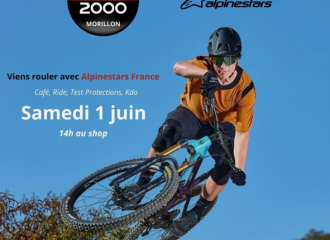
Alpinstars
Évènement terminé
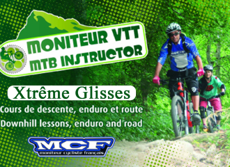
xtreme glisses samoens
OT Samoëns (photothèque)
jaime sport
Cultural
Samoëns Montagnes du Giffre Lyric Festival : Opera quiz
La Rivière-Enverse
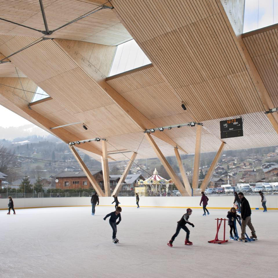
Ice rink – The ice garden
Samoëns
All inclusive
Cocooning stay at the Neige et Roc**** hotel
Samoëns
Sporting activities
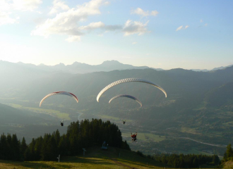
Baptism of the air in a paramotor
Morillon
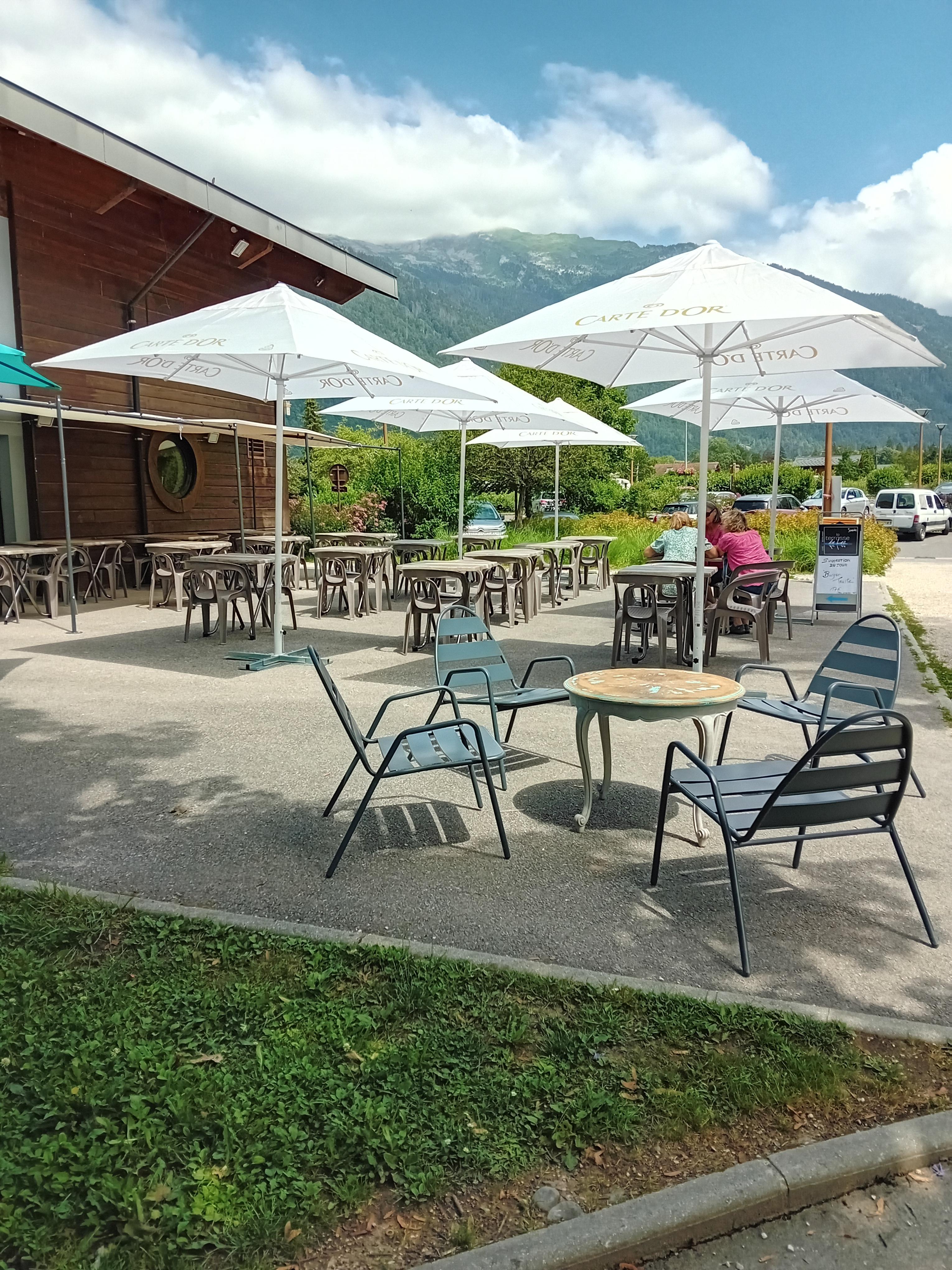
Brasserie
La Terrasse du Lac
Samoëns
Sporting activities
Nordic ski lessons – GB Nordique
La Rivière-Enverse
Tourist residence
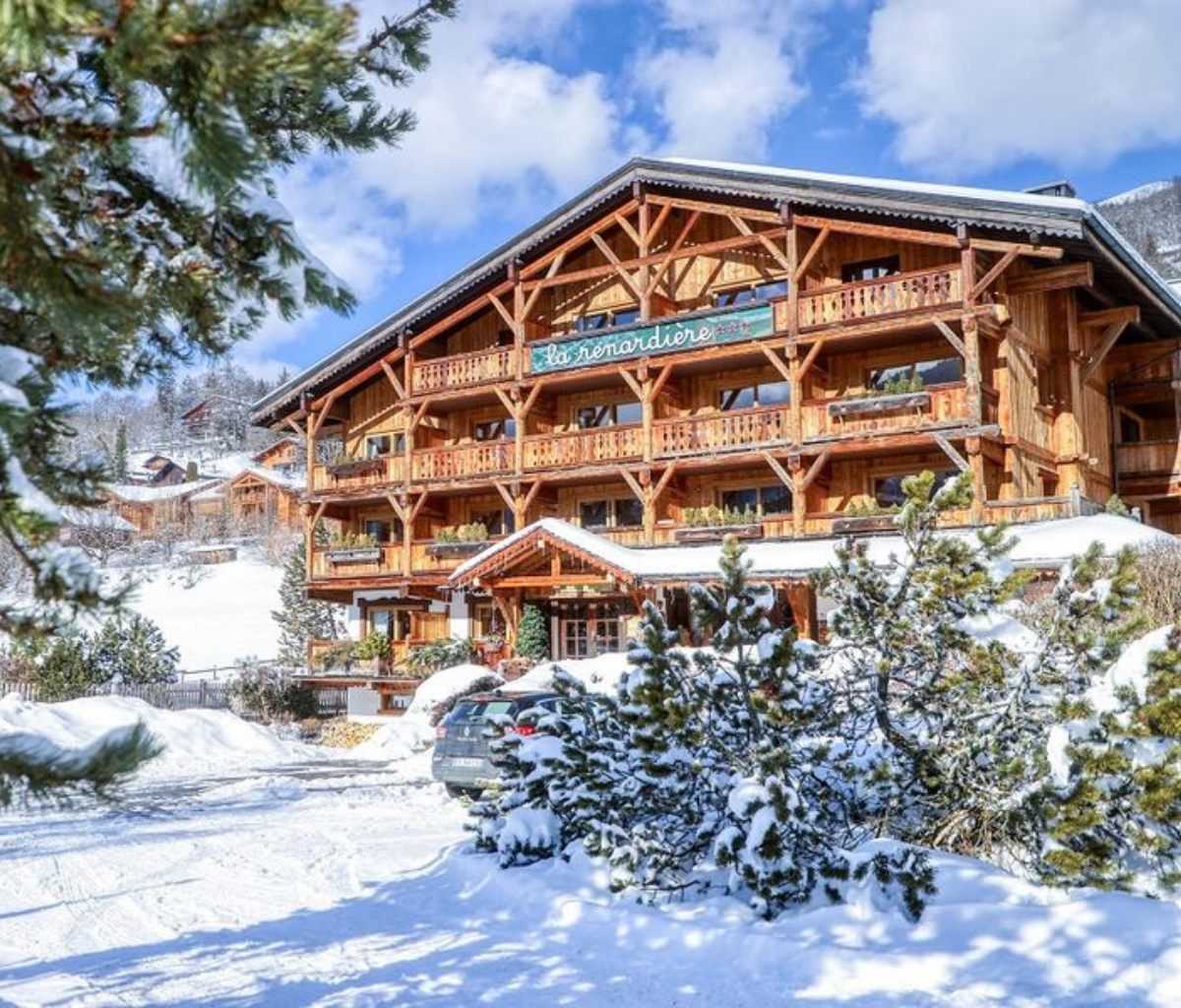
La Renardière residence
Samoëns
Sports and leisure
Test matériel Alpinstars
Morillon
Sporting activities
Mountain bikes guide or bikes lessons for adults and children
Samoëns
Sporting activities
“Introductory training” paragliding course
Morillon
Natural wonder
The Giffre River
Samoëns
Sporting activities
Rafting
Samoëns
