


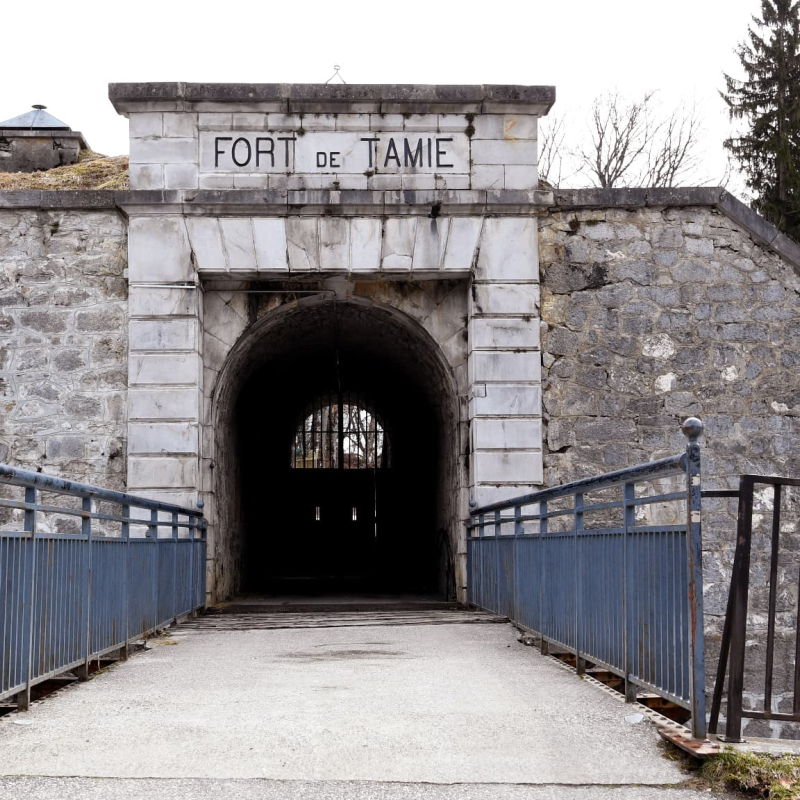
Attacking Fort de Tamié
Mercury
Description
73200 Mercury
Savoie (73)
Informations complémentaires
Don't be fooled by the peacefulness of your first steps in this beautiful protective forest of Gémilly, for if the path progresses slowly but surely, you'll soon discover an exceptional site: a military fort dating from the late 19th century in charge of protecting Albertville and its surroundings.
Don't be intimidated by the entrance porch: you're about to enter a historic and welcoming space, where you'll discover one of the finest high ropes courses in Savoie: thrills guaranteed!
And if you'd like to experience the Fort for yourself, an escape game will give you a hard time, teleporting you back to 1876 to try and escape from the prison where you're now locked up!
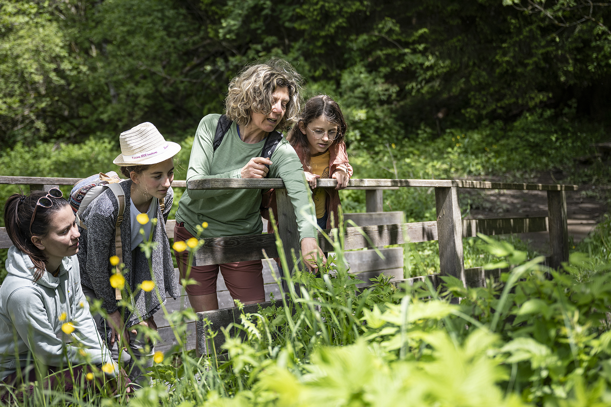
The wiser ones will prefer to visit the medicinal garden with Chloé Chléo and Louise: did you know that some plants can be eaten and even cured?
And for the more adventurous, there's the Abbey of Tamié, where you can taste the cheese of the same name.
Start: from the BASE DE LOISIRS in Mercury, follow the signs for "Fort de Tamié".
1/ Pass through the hamlet of VERNEY
2/ At CARTHERIN, turn left
3/ Pass through les PIFFETS, before climbing up to "sous le col", then Col de Tamié.
4/ At COL DE TAMIE (910 m), follow "le Chemin du Fort", then "sous le Fort".
5/ At FORT DE TAMIE-OUEST (970 m), follow the ramparts on the left to FORT DE TAMIE-EST. Descend towards Mercury.
6/ From COLLET DE TAMIE (950 m), continue downhill via "SUR LA ROCHE", then "SOUS LA ROCHE".
7/ At the "sous la Roche" junction, return directly to the leisure center via "le Cartherin", or continue the loop via "MERCURY" Eglise - Foyer Municipal.
8/ From Mercury, return to the leisure center.
From 01/05 to 31/10.
Subject to favorable weather.
Free access.
Contact et accès Base de loisirs Mercury73200 Mercury
Savoie (73)
Informations complémentaires

Ça peut vous intéresser


À proximité

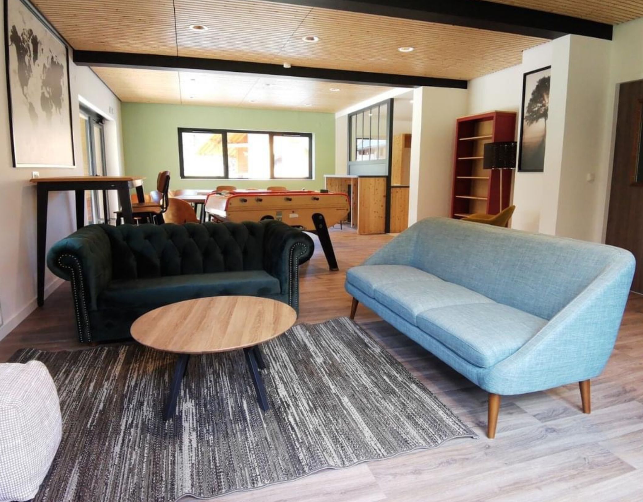
Acrofort SCIC
© Savoie Mont Blanc - Lansard
B.Becker
Tilby_Vattard
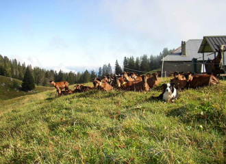
Val de Tamié
©Alain Morandina
Entertainment/recreation
Viens fêter ton anniversaire à la Halle Olympique !
Albertville
Organic Farming (AB)
Le Bio Chèvre
Faverges-Seythenex
Bed & breakfast
LES CRÊTS
Mercury
Shops
La Brasserie de la Halle
Albertville
Sport
Faux Col des Cyclotouristes from the west
Albertville
Sporting activities
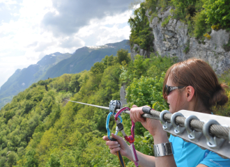
Treetop adventure park “Acrofort” de Tamié
Mercury
Sport
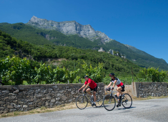
Cycling circuit: Circuit de Miolans
Albertville
Traditions and folklore
Dégustation au Restaurant L’Art Lie
Albertville
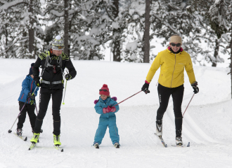
Cross-country ski resort
Val de Tamié – Les Combes
Faverges-Seythenex
Service providers
Mélaine Bourgeois – nature guide
Faverges-Seythenex
Group gîte
Val de Tamié – les Combes Guest House
Faverges-Seythenex
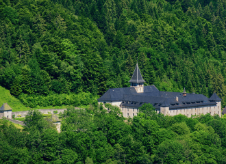
Historic site and monument
Tamié Abbey
Plancherine
