


Sport
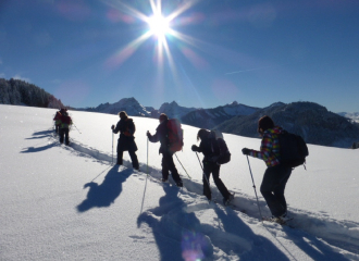
Arvouin pass and lake hike
La Chapelle-d'Abondance
Description
74360 La Chapelle-d'Abondance
Haute-Savoie (74)
Informations complémentaires
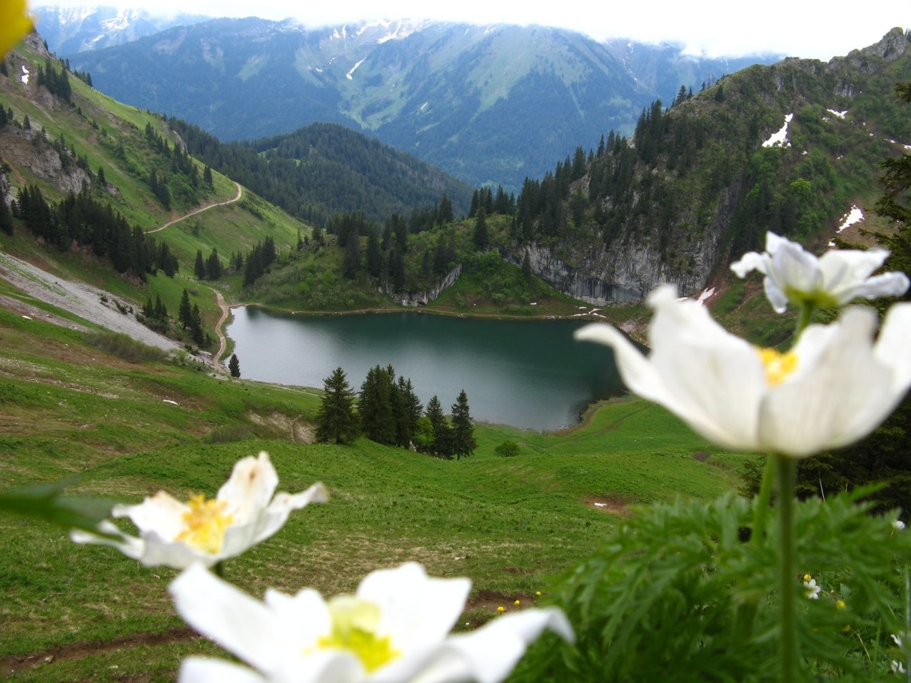
The hike to the pass and the lake of Arvouin is a half-day hike that will allow you to discover a grandiose landscape starting from the Sevan car park, situated just 300 metres below.
You will first reach the glacial lake located at the foot of the Linleu summit, in the heart of the Cornettes de Bise massif.
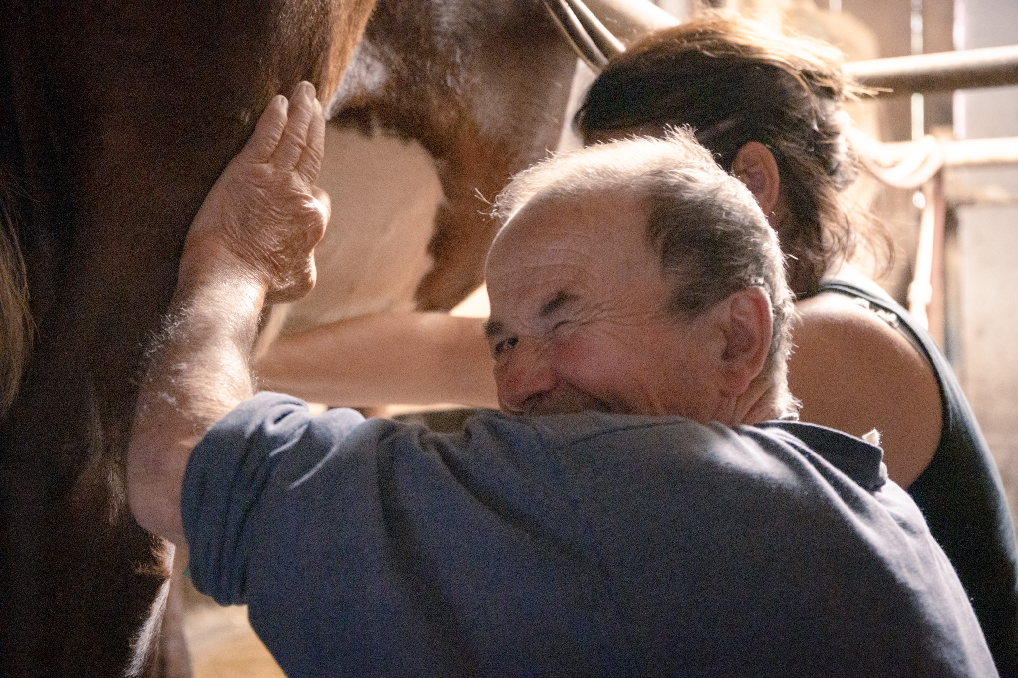
Near the lake of Arvouin, the mountain pasture of the same name is home to herds of Abondance cows which provide the milk for the local cheese.
You then reach the pass ofArvouin or Savalenaz, situated at 1856 m, which acts as a border between France and our Swiss neighbours.
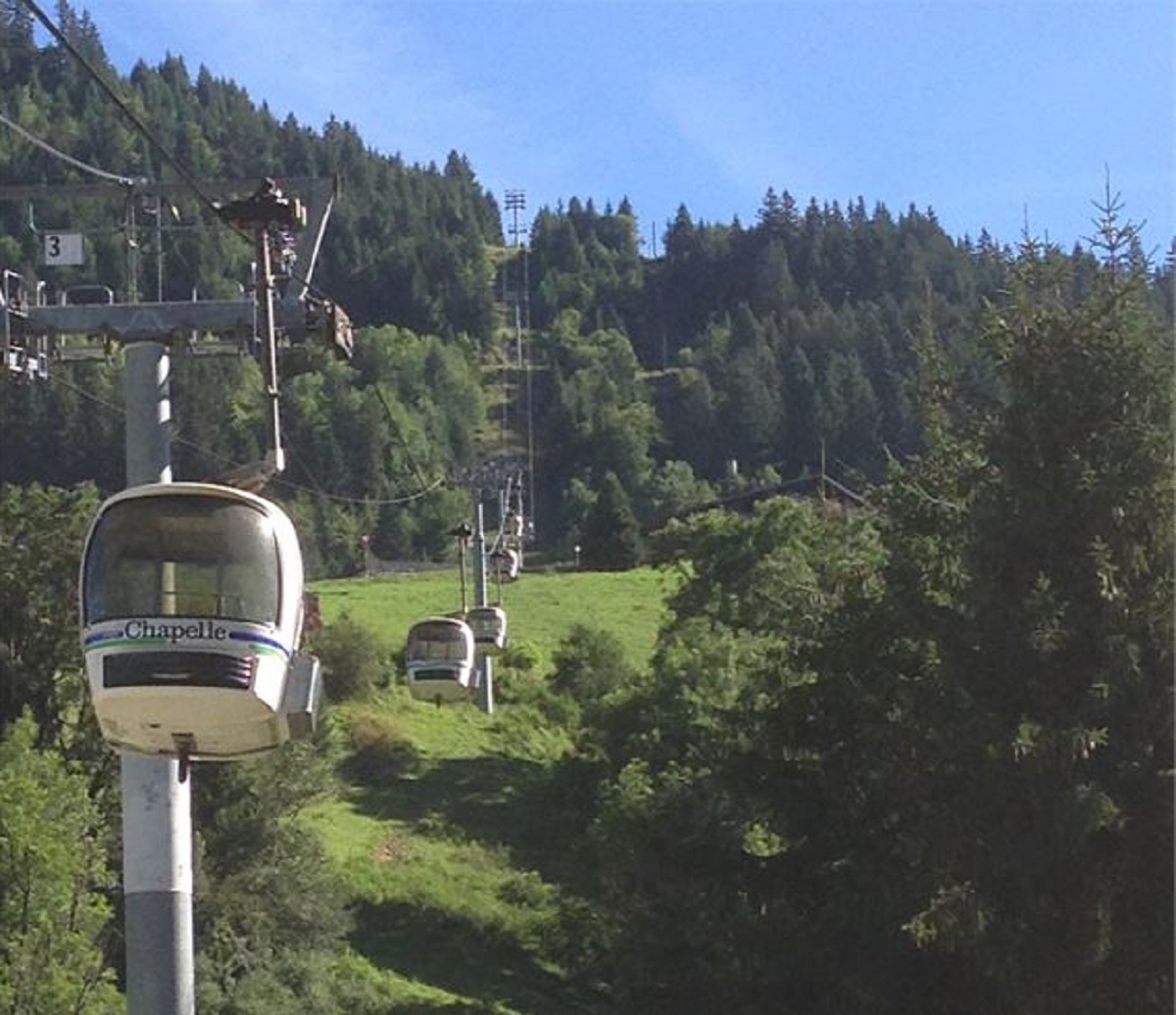
In summer, it is possible to take the Panthiaz cable car to reach the start of the hike (check with the tourist office for openings).
1/ Departure: parking of "Sevan", located at the top of the road of Rys in La Chapelle d'Abondance.
2/ Follow the direction " Col d'Arvouin " all the way. You will pass by the following directional posts : " Sevan Derrière ", " Lac d'Arvouin ", and " Chalet d'Arvouin " before reaching the pass.
3/ From the pass of Arvouin, go back down by the same itinerary following " Sevan Devant ".
From 01/06 to 30/10.
Accessible except during snow and depending on weather conditions.
Please check with the Tourist Office for the latest information on access conditions. This route is usually suitable for strong walkers during spring, summer, and autumn, except in adverse weather.
Subject to favorable snow and weather conditions.
Free access.
Contact et accès Parking de Sevan Devant74360 La Chapelle-d'Abondance
Haute-Savoie (74)
Informations complémentaires
Ça peut vous intéresser


À proximité

Kandahar
Châtel Sensations
@Châtel Sensations
A ton étoile
Cordonnier Cédric AMM
©L.Meyer Châtel
Restaurant la Bocca
Mairie La Chapelle d'Abondance
Marie El-Hajal - OT PEVA LME
Hotel - restaurant
Hotel Kandahar
Châtel
Sporting activities
Handi ski – Tandem Ski
Châtel
Sporting activities
Handiski – Skiing standing
Châtel

Sporting activities
Dual Ski
Châtel
Service providers
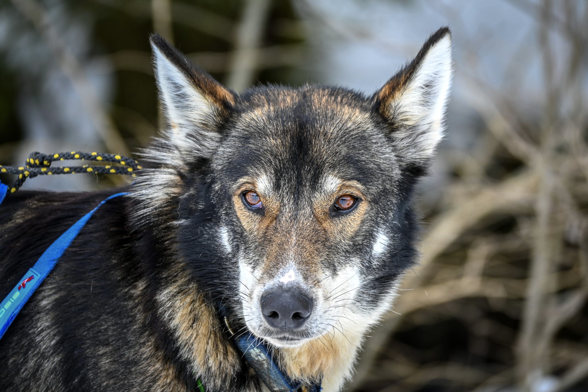
A ton étoile dog sledding
La Chapelle-d'Abondance
Service providers
Cordonnier Cédric
La Chapelle-d'Abondance
Sporting activities
Tandem-ski
Châtel
Sporting activities
Handiski activity – The kart-ski
Châtel
Sporting activities
Mountain bike guidance & accommodation
Châtel
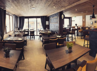
Traditional cooking
Restaurant La Bocca
Châtel

Services
Picnic room Foyer 4 Saisons
La Chapelle-d'Abondance
Entertainment/recreation
Visit of the Feto farm
La Chapelle-d'Abondance
