


Sport
Around Pointe d'Emy - 4-day itinerary
Chef-lieu

Description
Chef-lieu
73300 Albiez-le-Jeune
Savoie (73)
Informations complémentaires

Edith Gachet

www.lechaletdlacroe.fr
Thibaut Blais - Collection FFCAM
Eric David
SIVAV
www.lechaletdlacroe.fr
Stage 1: Albiez-le-Jeune -> Chalet d'la Croë: 16.7 km / D+ 872 m / D- 165 m
Stage 2: Chalet d'la Croë -> Refuge des Aiguilles d'Arves: 9 km / D+ 910 m / D-738 m
Stage 3: Refuge des Aiguilles d'Arves -> Albanne: 17.4 km / D+ 649 m / D- 1280 m
Stage 4: Albanne -> Albiez-le-Jeune: 13.3 km / D+ 825 m / D- 1087 m
This hike is not accessible if the route is snow-covered or icy.
We advise you to book accommodation well in advance, given its small capacity.
Recommended equipment :
- Mountain boots suitable for walking on varied terrain (rigid soles)
- Rain gear
- Warm clothing
- Pair of telescopic poles
- Cash (CB terminals not always available in refuges)
1/ Stage 1:
From the chief town of Albiez-le-Jeune, head towards the Moine de Champlan. After admiring this geological curiosity, turn left towards Les Aiguilles to join the RD80 at the Croix de la Ducherie.
Turn right on the RD80 as far as Ravin du Claret, then take the track on the right towards Bonvillard.
Cross the hamlet and continue towards Albiez-Montrond. Get back on the RD80 at Des Combarres and follow it to Place Opinel. Continue towards the Rival forest to reach La Villette.
Cross the road and climb up to La Plaigne.
At La Frédière, go back down to Rieu Gilbert, then up through the Sur la Broue chalet. Rejoin the road, continue uphill, then turn left onto the path towards Les Chabottes.
At the signpost on the Torrent, turn right to go up the track. Take the left-hand track to Chalet d'la Croë.
2/ Step 2:
Take the path leading south from the chalet to join the track at Bassin.
At La Motte, take the left-hand track, leaving a chalet on your right, cross the stream and follow the ridge to Plan Pradin.
At Plan Pradin, turn left towards the Passage de l'Épaisseur.
From the Passage de l'Épaisseur, descend to the Col, then back down to the Aiguilles d'Arves refuge via the Combe du Puy.
3/ Stage 3:
Descend to Commandrault, then fork left towards the hamlet of Les Verneys.
Cross the hamlet to join the main road.
Cross the road and the Valloirette.
Follow the torrent on the right bank as far as the Valloirette footbridge.
Then climb up to the hamlet of Poingt Ravier.
Continue up the balcony path to Pain du Sucre, crossing the Villard stream (footbridge installed around June 10 and removed around September 15).
At La Turraz, head towards Gros Mélèze, then stay on the balcony path towards Albanne.
Cross the ruisseau des Moulins and continue downhill to Albanne.
4/ Stage 4:
Follow the RD for 500 m to the Col d'Albanne.
Continue towards Lac Pramol through hay meadows and mélézin.
From the lake, take the "sentier du Blanchon" theme trail to the Les Karellis ski resort.
Cross the resort to Le Suiffet. Climb the Porte Brune ridge in the 1st section through a shady spruce forest, then continue into the more mineral Combe de Messolard.
There is a "technical" passage (not very difficult) on a boulder equipped with a handrail (cable) and metal steps.
Below the Casse-Massion cross, fork right onto the Lacha ridge as far as the Croix d'Albiez.
At the Mont Tissot signpost, fork left to descend to Albiez-le-Jeune via Les Roches.
From 20/06 to 20/09.
TarifsFree access.
Contact et accès Zone de loisirs des Léchères, 124 Route de VillargondranChef-lieu
73300 Albiez-le-Jeune
Savoie (73)
Informations complémentaires

Ça peut vous intéresser

Les Léchères bivouac area
Albiez-le-Jeune
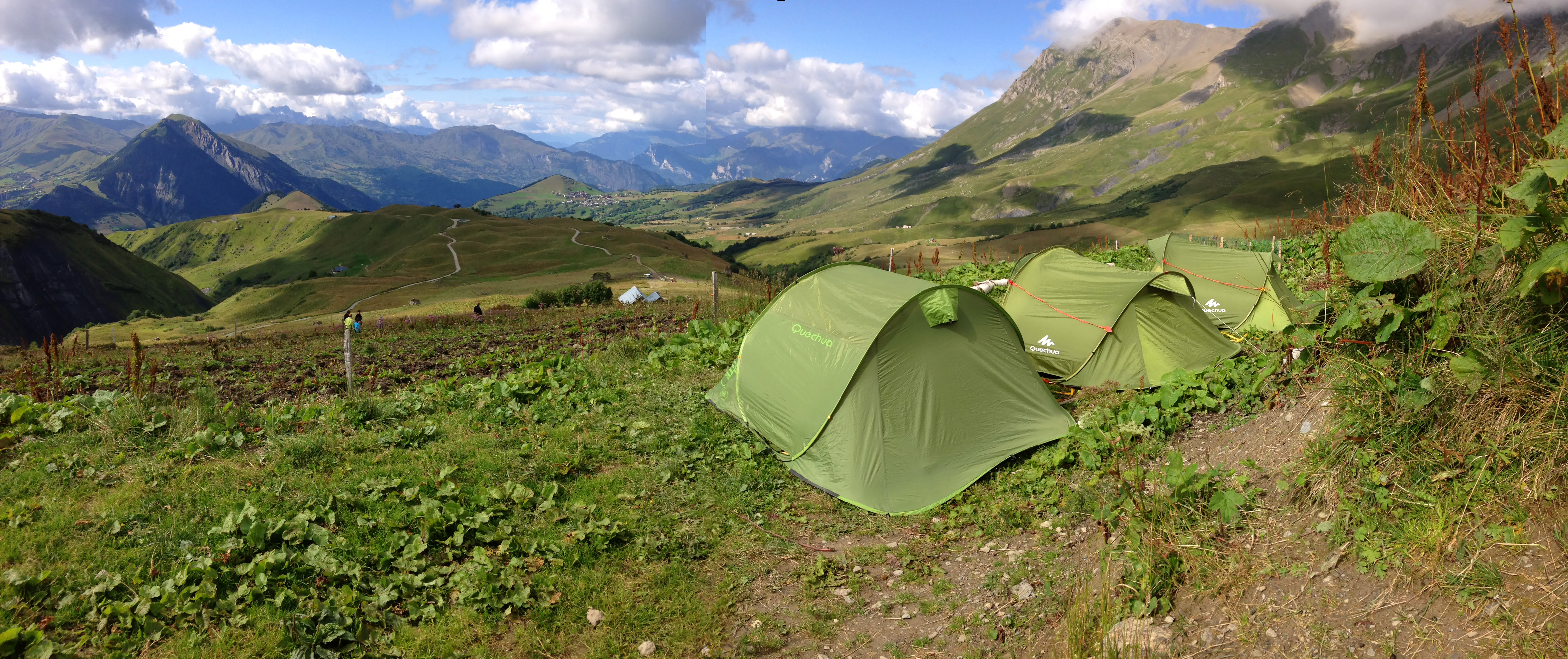
Overnight in tents at Chalet d’la Croë
Albiez-Montrond

Refuge des Aiguilles d’Arves
Valloire
Aiguilles d’Arves Tour
Albiez-le-Jeune
Tour of the Aiguilles d’Arves – Albiez-le-Jeune / Chalet d’la Croë
Albiez-Montrond
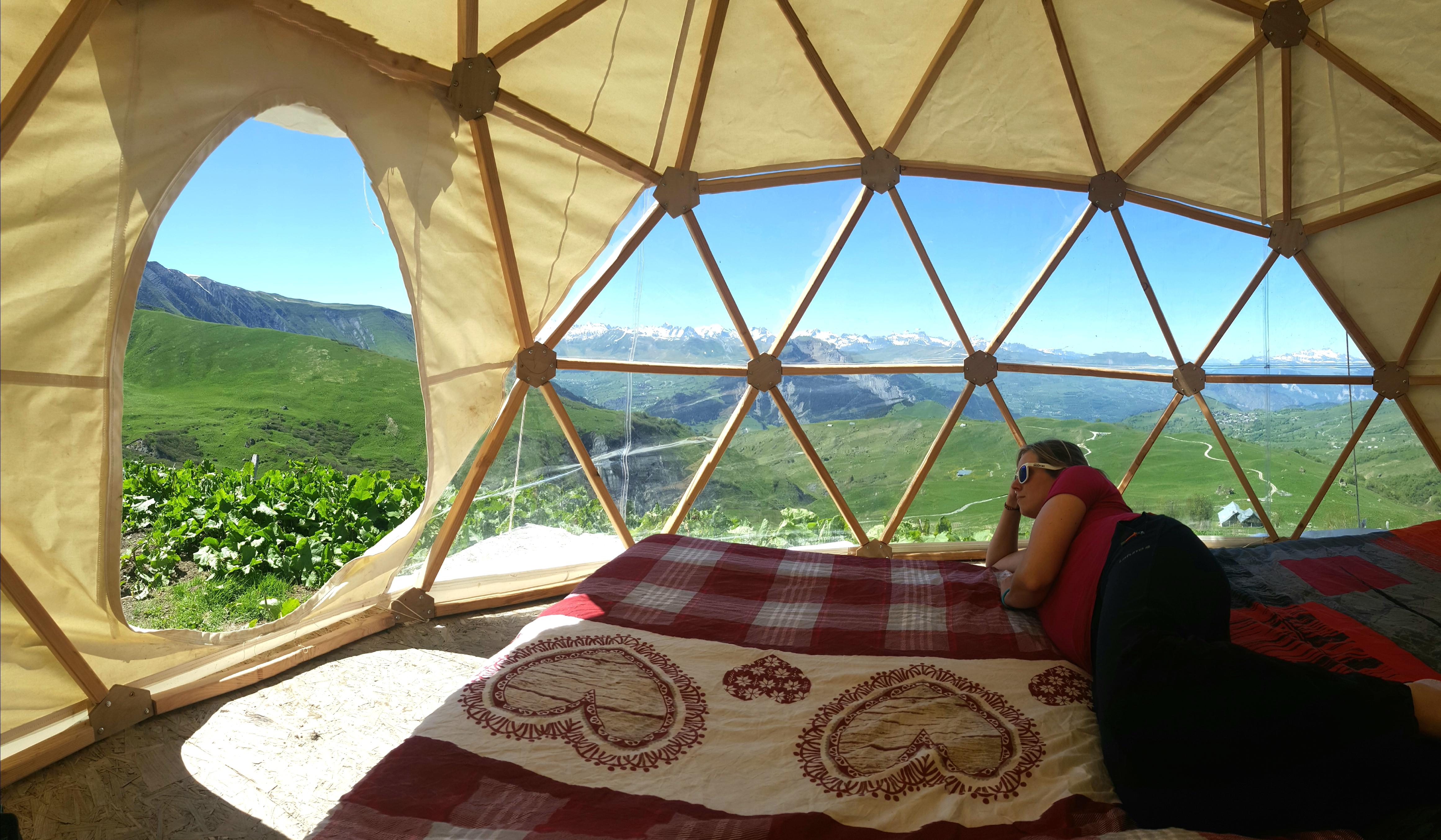
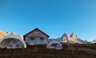
Overnight in a dome at Chalet d’la Croë
Albiez-Montrond
À proximité
Hôtel Saint-Georges
Alban Pernet
L. Boutiot
Yves Vionnet
OTI
FOL07
Lycée Paul Héroult
D.Malacrida
Yves VIONNET
Yves VIONNET
Yves Vionnet
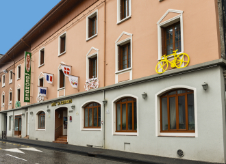
Hotel
Hôtel Saint-Georges
Saint-Jean-de-Maurienne
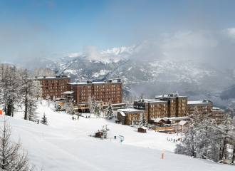
1 New winter sports resort
Les Karellis Ski Resort Area
Les Karellis
Shops
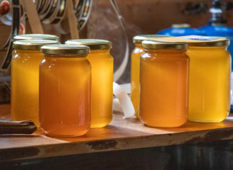
At the top of the apiary
Albiez-le-Jeune
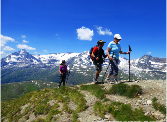
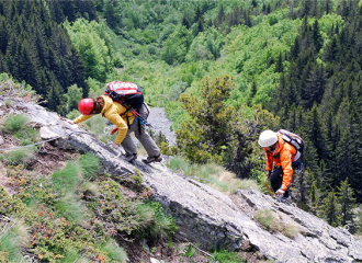
Sporting activities
Hiking in the Vanoise National Park
Albiez-Montrond
Entertainment/recreation
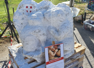
Gypsum Festival
Saint-Pancrace
Alpine thrills
Albiez-Montrond
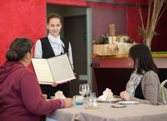
Training restaurant
Paul Héroult High school application restaurant
Saint-Jean-de-Maurienne
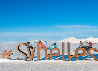
Downhill skiing
Sybelles ski area
Le Corbier

Sporting activities
ANENA Avalanche Rescue Maurienne niv. 1+2 1 day
Albiez-Montrond
Sporting activities
The Moine and Four du diable hike
Albiez-Montrond
Sporting activities
Snowshoeing in the forest
Albiez-Montrond
Traditional cooking
Le Lancheton hotel restaurant
Saint-Julien-Montdenis
