


Sport
Aiguilles d'Arves Tour
Chef-lieu

Description
Chef-lieu
73300 Albiez-le-Jeune
Savoie (73)
Informations complémentaires

www.lechaletdlacroe.fr

SIVAV
MCM
www.lechaletdlacroe.fr
Clévacances
Septentrional, centrale and méridionale culminating at 3,514 meters above sea level, but also known as "Tête de Chat" or "Petit Jean", "Gros Jean" and "Jean Jean", these three emblematic mountains were conquered in 1893 by Valloire residents hunting chamois, and made famous by William Coolidge's ascents in 1873.
The Tour des Aiguilles d'Arves, a hiking itinerary between Savoie and Hautes-Alpes, takes you into a wilderness atmosphere, immersed far from everything, in a succession of high-altitude passes, panoramic ridges and flower-filled mountain pastures on whose slopes graze numerous herds of cattle, goats and sheep.
This interdepartmental itinerary, dedicated to the very best mountain hikers, combines history and trade, wars and peddlers, between the former State of Savoy and the Kingdom of France. Cross the border on these ancient paths steeped in history, on these slopes and crests!
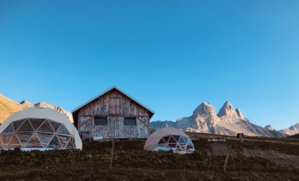
It is advisable to book accommodation well in advance, as it has a small capacity.
It is advisable to book accommodation well in advance, given its small capacity.
Recommended equipment :
- Mountain boots suitable for walking on varied terrain (rigid soles)
- Rain gear
- Warm clothing
- Pair of telescopic poles
- Cash (CB terminals not always available in refuges)
1/ DAY 1: Albiez-le-Jeune -> Chalet d'la Croë / Duration: 6h15 / Difference in altitude: + 878 m / -174 m / Distance: 14.8 km
2/ DAY 2: Chalet d'la Croë -> Chalet du Perron / Duration: 4h / Difference in altitude: + 536 m / - 463 m / Distance: 8.3 km
3/ DAY 3: Chalet du Perron -> Refuge du Pic du mas de la Grave / Time: 7h30 / Difference in altitude: + 1087 m / - 1290 m / Distance: 12.7 km
4/ DAY 4: Refuge du Pic du mas de la Grave -> Refuge du Goléon / Duration: 7h / Difference in altitude: + 1048 m / - 525 m / Distance: 15.2 km
5/ DAY 5: Refuge du Goléon -> Refuge des Aiguilles d'Arves / Duration: 7h50 / Difference in altitude: + 993 m / - 1217m / Distance: 15.5 km
6/ DAY 6: Refuge des Aiguilles d'Arves -> Albanne / Time: 7h45 / Difference in altitude: + 649 m/ -1279 m / Distance: 17.4 km
7/ DAY 7: Albanne -> Albiez-Le-Jeune / Duration: 6h40 / Difference in altitude: + 825 / - 1078/ Distance 13.2 km
From 20/06 to 20/09.
Subject to favorable weather.
Free access.
Contact et accès Zone de loisirs des Léchères, 124 Route de VillargondranChef-lieu
73300 Albiez-le-Jeune
Savoie (73)
Informations complémentaires

Ça peut vous intéresser
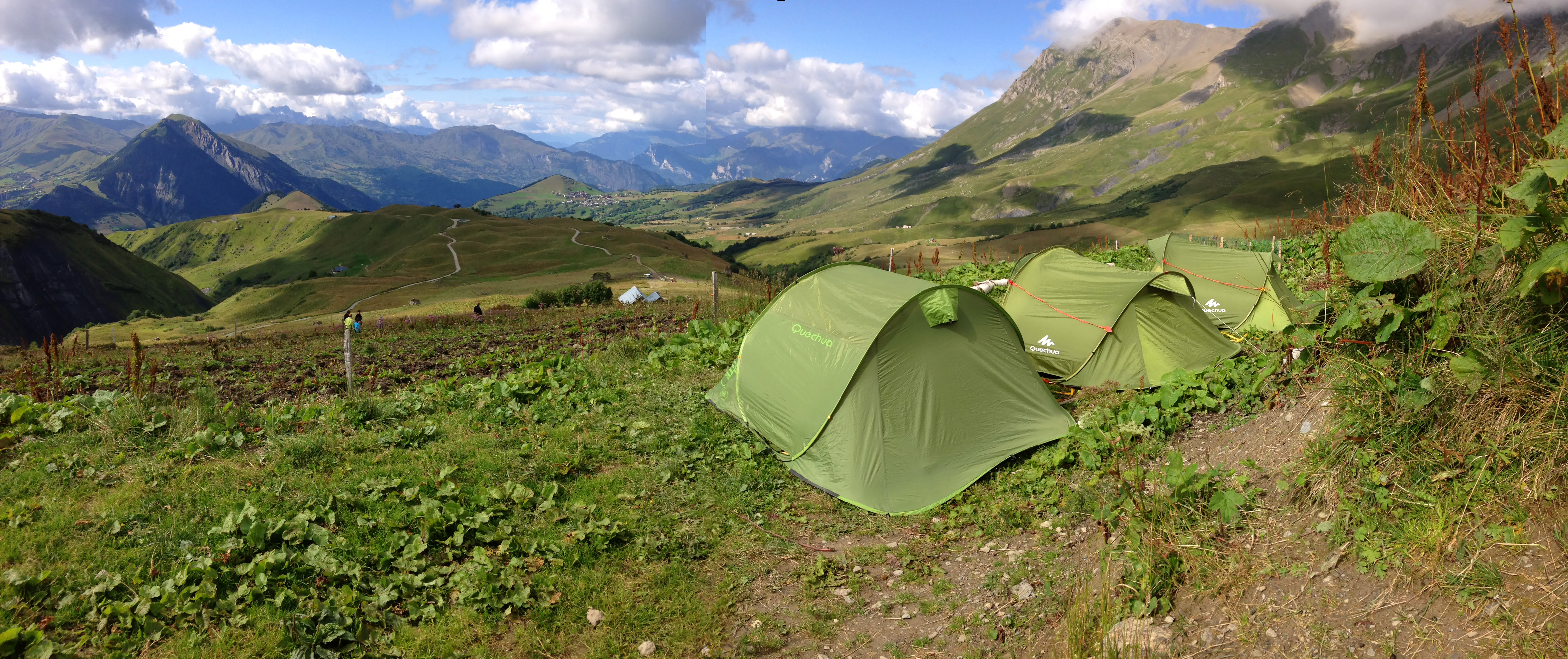
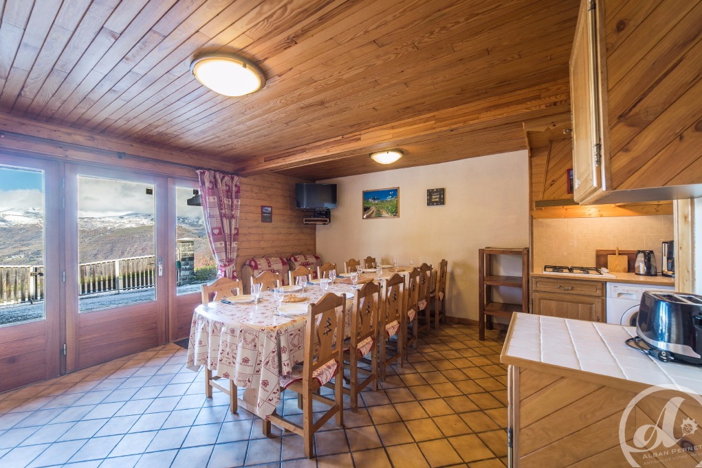
Overnight in tents at Chalet d’la Croë
Albiez-Montrond
Tour of the Aiguilles d’Arves – Albiez-le-Jeune / Chalet d’la Croë
Albiez-Montrond
Around Pointe d’Emy – 4-day itinerary
Albiez-le-Jeune
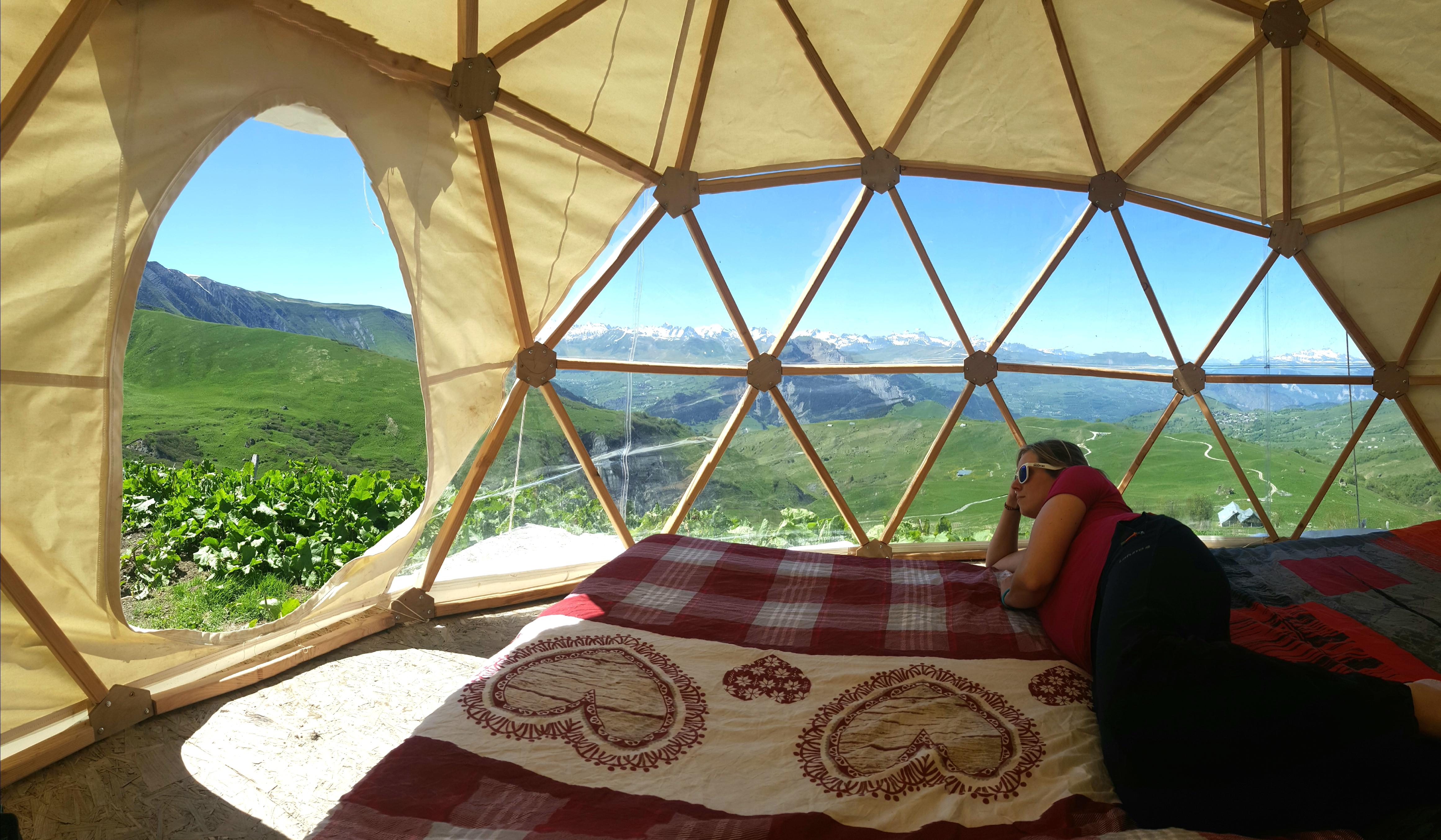
Overnight in a dome at Chalet d’la Croë
Albiez-Montrond
Le Lys Martagon
Albiez-le-Jeune
À proximité
Julia André
OTI
OTI MONTAGNICIMES
Coeur de Fournache_Saint-Jean-de-Maurienne
A.Rota
A.Rota
Jimmy Gorre
Yves VIONNET
Hotel Best Western Coeur de Maurienne
Panier de Maurienne
Jordan Salahun
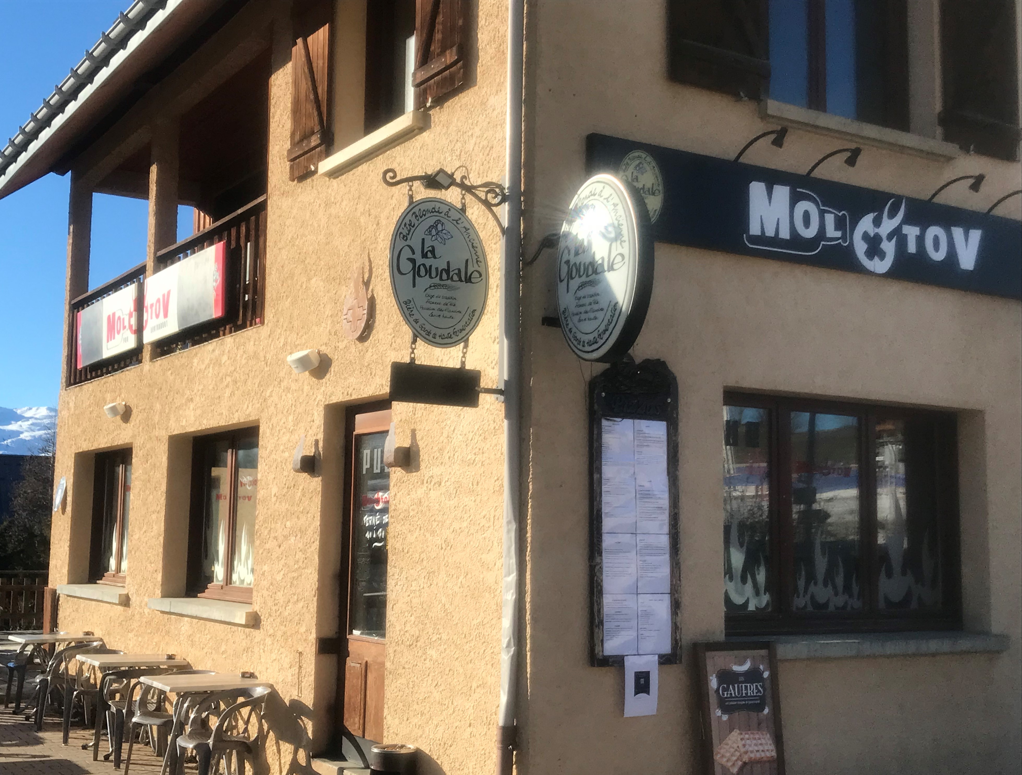
Pub Le Molotov
Albiez-Montrond
Entertainment/recreation
Gypsum Festival
Saint-Pancrace
Entertainment/recreation
Gourmet tour
Saint-Jean-de-Maurienne
Bed & breakfast
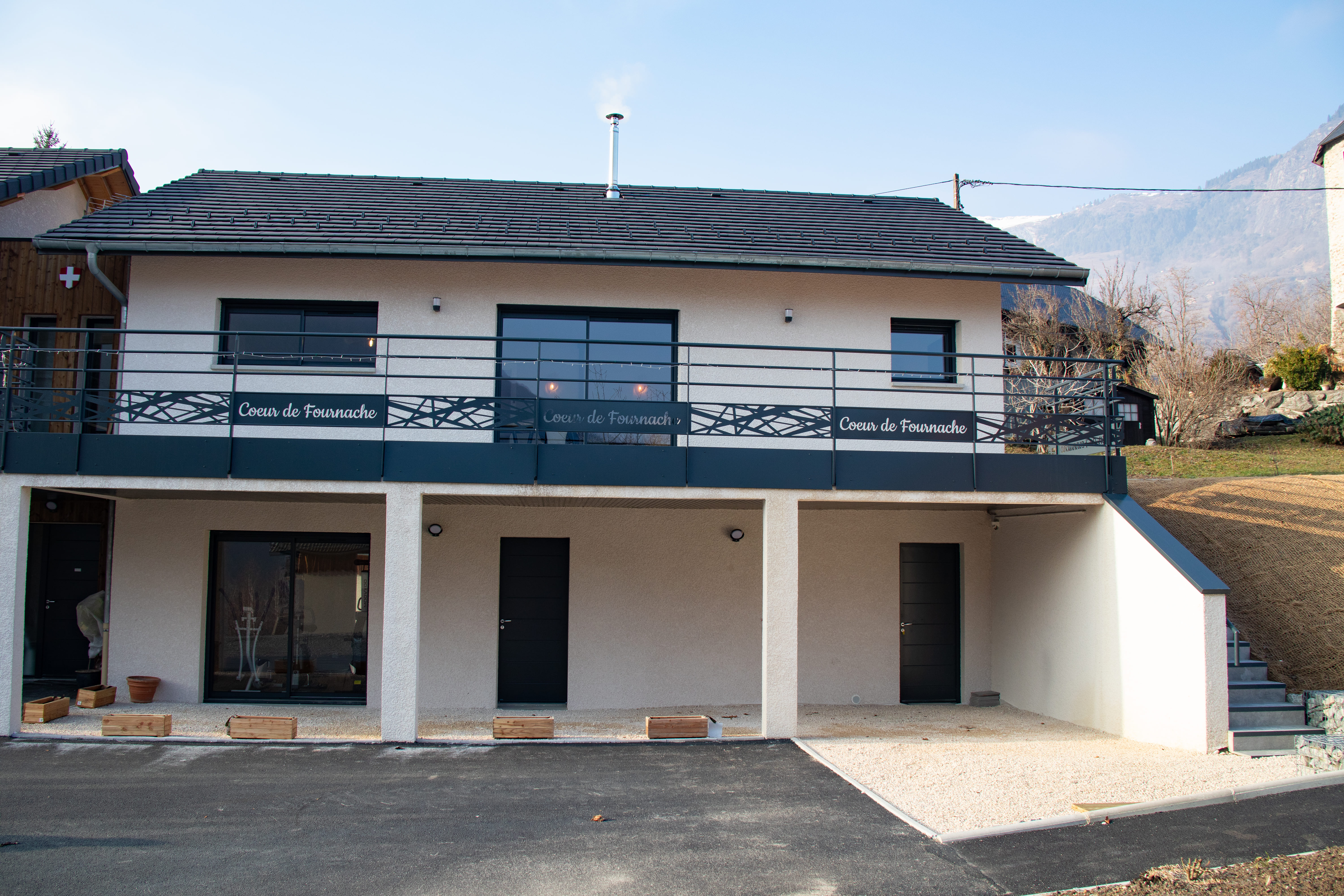
Coeur de Fournache
Saint-Jean-de-Maurienne
Sporting activities
Nature walks and hikes
Les Karellis
Sporting activities
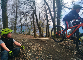
Biclou – Children’s mountain bike course
Albiez-Montrond
Sporting activities
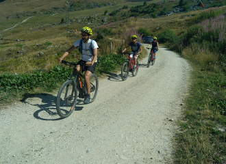
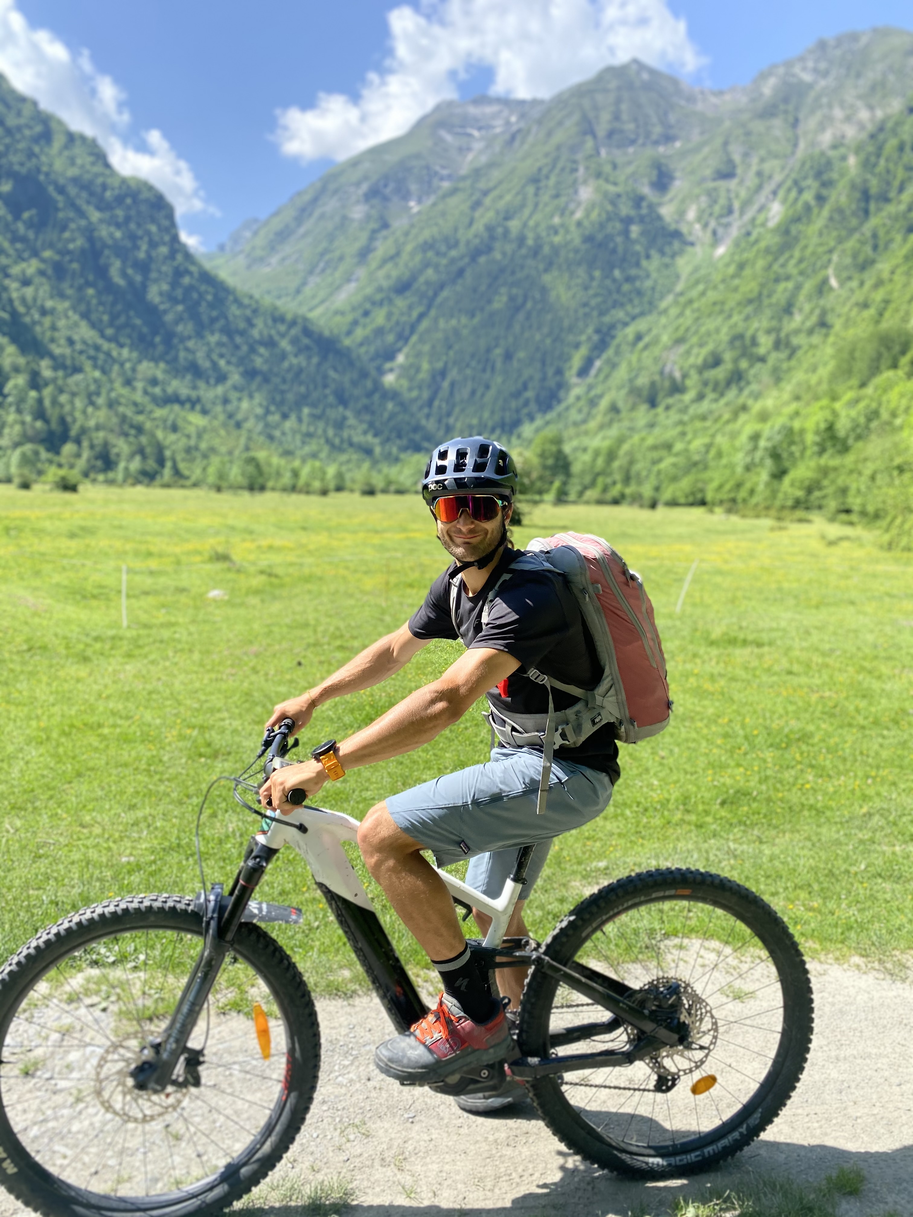
Randonnée en VTT électrique au pied des Aiguilles d’Arves
Albiez-Montrond
Sporting activities
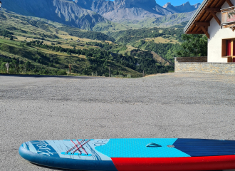
Paddles for hire
Albiez-Montrond

Sporting activities
ANENA Avalanche Rescue Maurienne niv. 1+2 1 day
Albiez-Montrond
Services
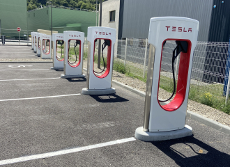
Borne de recharge Tesla
Saint-Jean-de-Maurienne

Shops
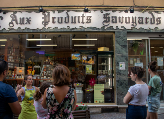
Panier de Maurienne
Saint-Jean-de-Maurienne
Service providers
JO MTB GUIDE – Guided mountain bike outings
Albiez-Montrond
