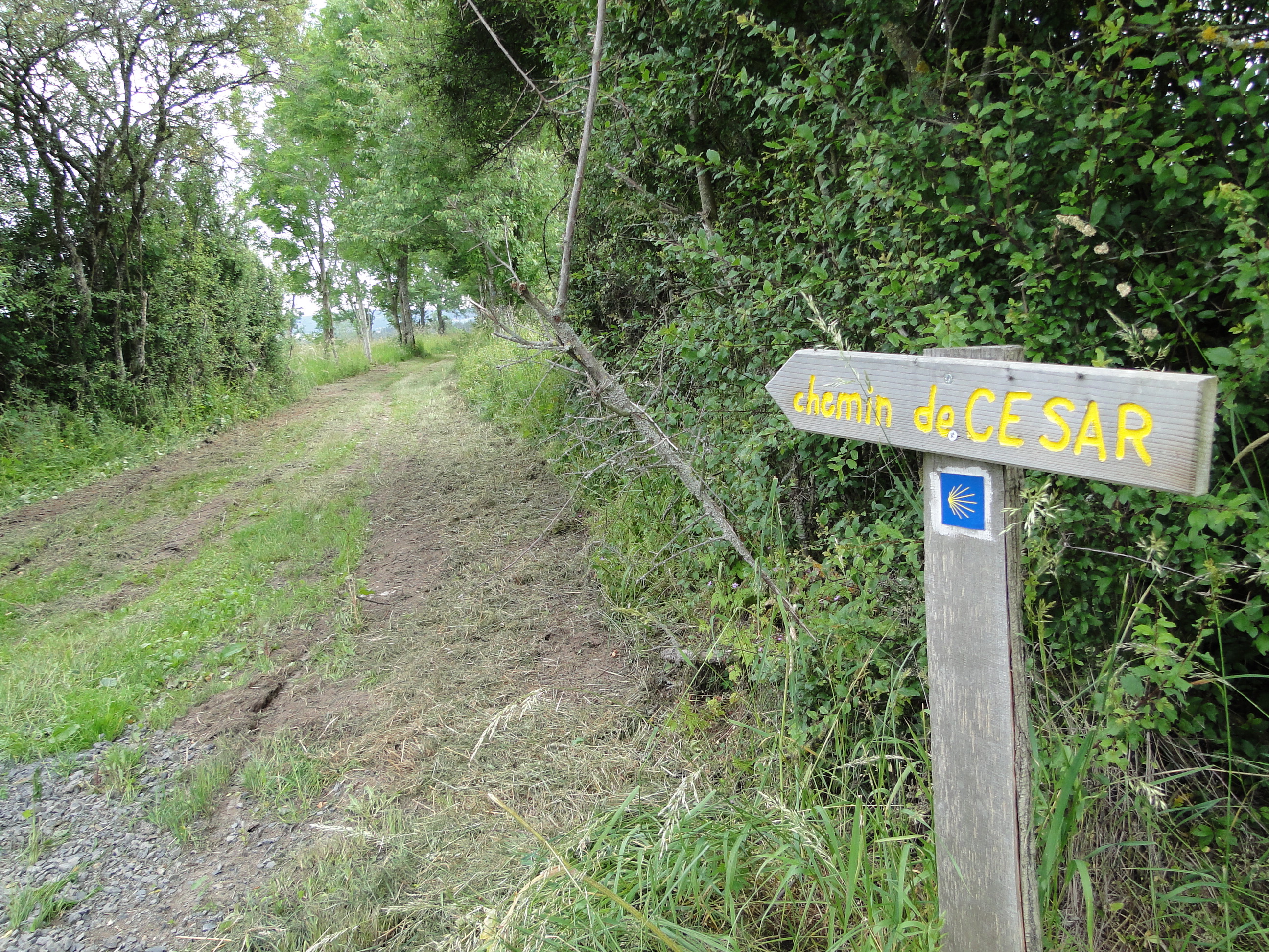
Chemin de César
Fernoël
- 12th-century church.
- Wash-house, watering place.
- Roman road.
- Pond.
1/ From the start sign, follow the road between the cross and the church (12th-century church). At the crossroads, turn right, then right again and immediately left onto a small track lined with low walls. Continue along this path (wash-house, drinking trough) until you come to a cross-roads. Go left for 100 m, then fork right onto another tree-lined track. At the road, turn right for 300 m, then climb the second track on the right and continue along the track to the left. At the fork, turn right and continue as far as the Croix des Adieux.
2/ Turn right along the wide tree-lined path (Roman road). At the road, continue straight ahead. Stay on this road for 1.5 km. At a fork in the road, turn right and continue as far as a crossroads. Turn left and after 50 m fork right and straight on at a fork. Continue on the road up to the first track on your left.
3/ Take it and go straight up. Stay on this track, passing near ponds. At the T-junction, turn left. Ignore the tracks on your left and right. Turn right at the tarmac track and continue as far as the first crossroads in Villavassoux.
4/ Turn left and then right. At the end of the village, leave the road and fork left. At the entrance to the wood, go straight ahead and continue as far as the road. Turn left, cross the D204 and continue straight ahead. Follow the pond to the right. At the sign for ‘La Chaize’, turn right and fork into the first track on the right before the second pond. At the fork in the wood, follow the track below to the left and continue for about 500 m to reach the road. Go straight ahead for 150 m and turn right. At the entrance to Fernoël, cross the road, go straight ahead and then right and left to reach the starting point.
From 01/01 to 31/12.
Subject to favorable weather.
Free access.
Contact et accès Église63620 Fernoël
Puy-de-Dôme (63)
Informations complémentaires
Chambres d’hôtes Le Château Giat

Restaurant du Foirail

Boucherie Charcuterie La Boulaie
Ferme de la Folle Avoine
La Fabuloserie
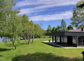
Lacustra Restaurant
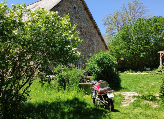
La Fermanerie – Ferme
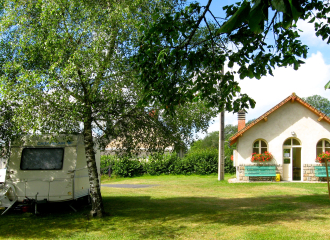
Camping Municipal Fernoël
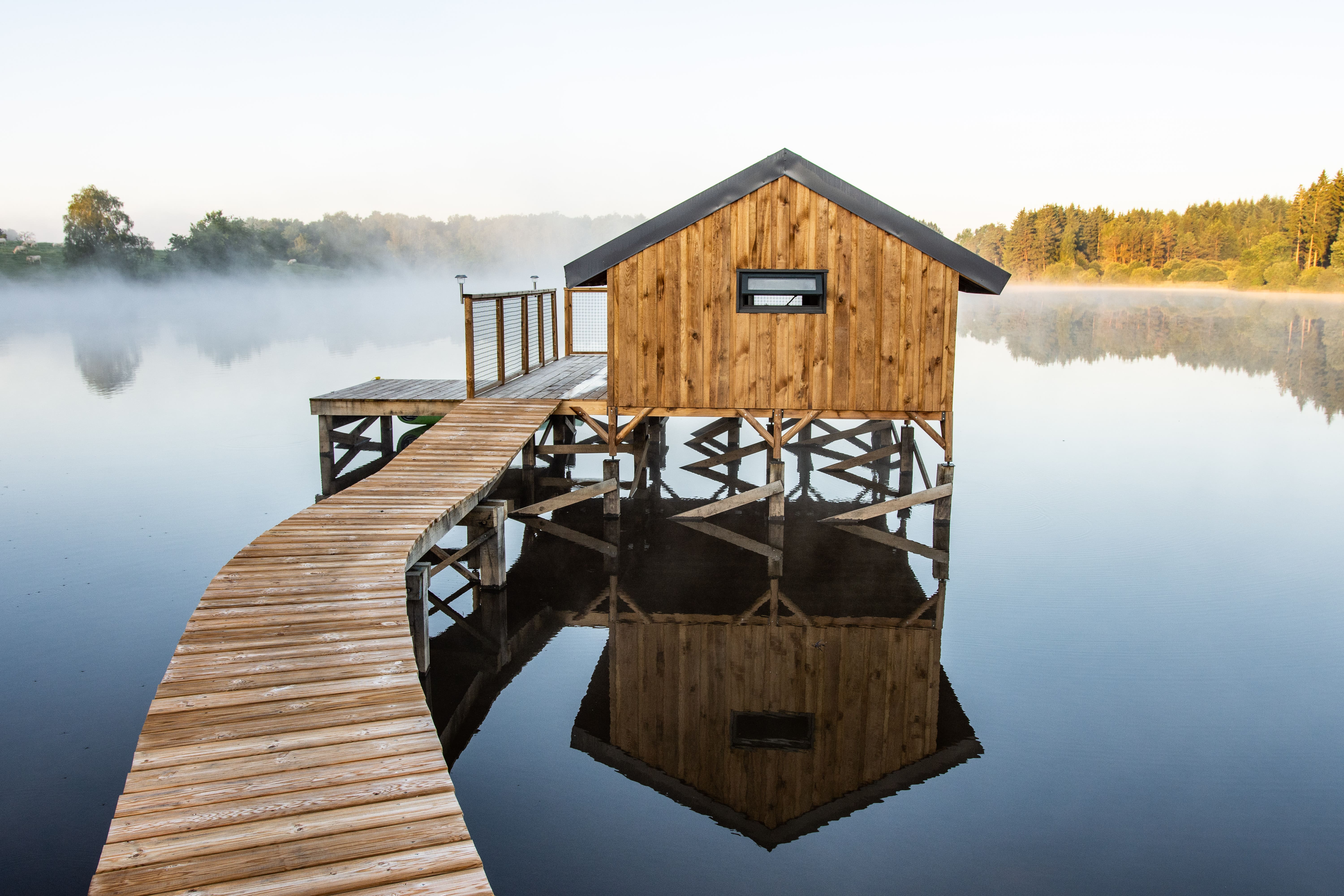
Cabanes sur pilotis Lacustra
La Table du Barbu
Motte castrale of Giat
