


Sport
The farms of Rif Bruyants - Family Walk
Isère ()
Description
Isère (38)
Informations complémentaires

JP Nicollet - Matheysine Tourisme

BIT Alpe du Grand Serre
Thibaud DELAPLAGNE - Office de Tourisme de l'Alpe du Grand Serre
Rivobruenti
1 km after the exit of Lavaldens, crossing the Roizonne try to park on the right. Park your car well to allow the passage of farm machines. A walk across the road and just after the bridge (concrete barriers) follows the path through the trees to the mill Fontagneu 400m. Follow this road to the bridge crossing the Roizonne, towards the mill Fontagneu. Notice the millstones with iron frame on your left in the garden. Cross the village and continue on a path to Mollard.
The path then goes overlooking Roizonne. After 20 minutes, you reach the village of Mollard (oven, spring, apiary). Continue on the road to the Rif Bruyant and Rochette. On this way you can admire the work of man, who deftly opened the way so that it doesn't degrad and, above all, observe the small canals crossing or bordering; they were used to irrigate the fields to allow a second cut called "Refoin". After 10 minutes you entre in the Rif Bruyant valley. Leave on your right the little waythat cross a small beautiful bridge over the Rif Bruyant but continue on the way going up, enter into another world and you begin to see a fun waterfall on the right that gives the impression to disperse in the air. You will also see the construction in the riverbed, they are water catchments for the city of La Mure.
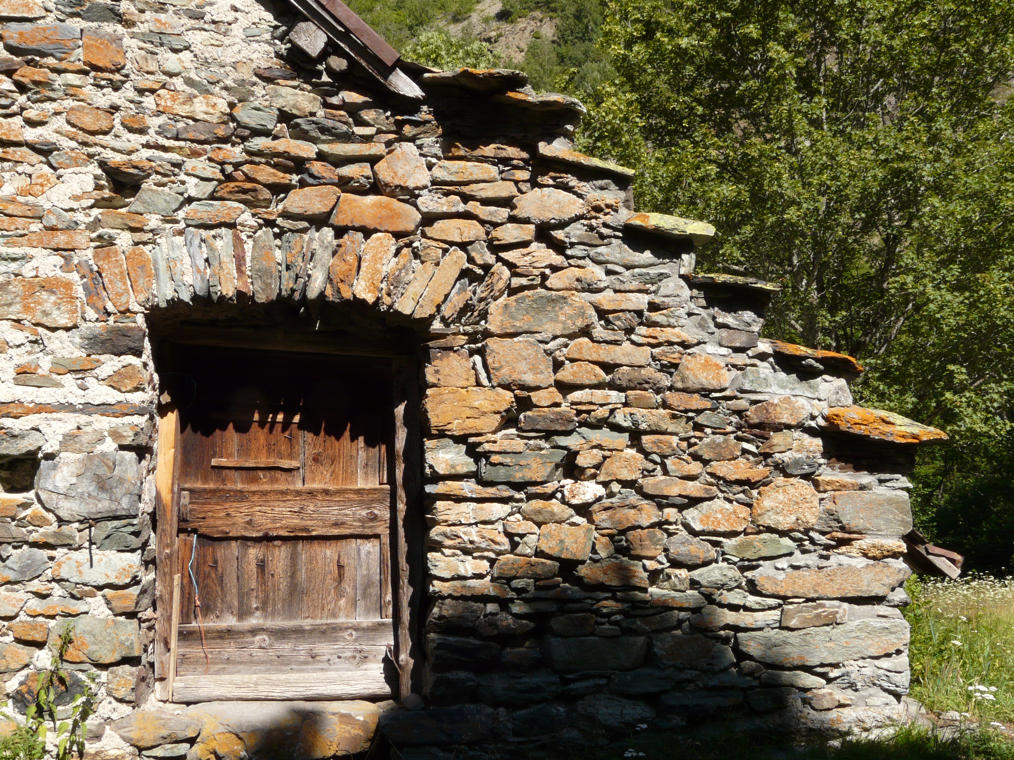
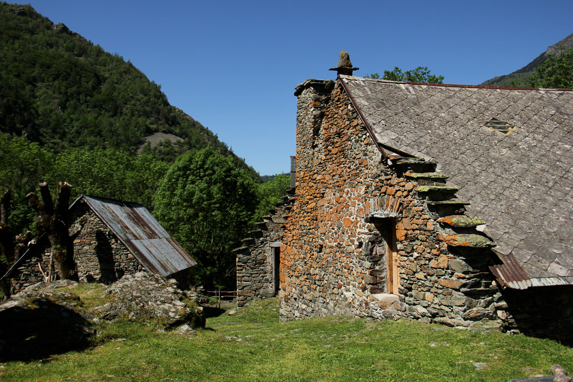
After crossing a wooden bridge take the steep-sided way on the left, you're coming to the finish line. One more wooden footbridge and you will see the first barn of the farms of Rif Bruyant. Go further and enter a field on the left, and enjoy the scenery as well as the farm's beautiful red gable (colour is due to some lichens growing on the rock). In the distance you see a waterfall coming down called the Wedding veil, which comes from Lake Rif Bruyant, but that's another walk that request almost 3 hours to go. The return is by the same route.
From 15/05 to 15/10.
Contact et accès 38350 LavaldensIsère (38)
Informations complémentaires
Ça peut vous intéresser
Le plateau des lacs – lac Fourchu
Alpe Du Grand Serre
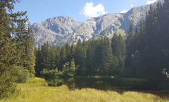
Lake Poursollet
Alpe Du Grand Serre
The 3-lake path to Poursollet
Alpe Du Grand Serre

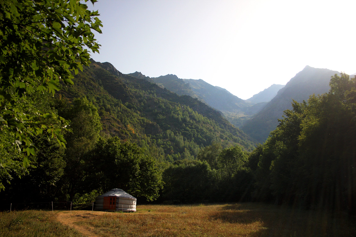
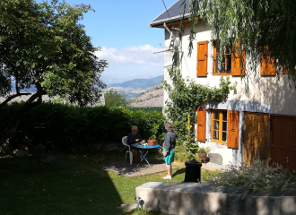
Yourte et Cabane du Rivobruenti
Lavaldens
À proximité
Canva
Rivobruenti
@Brasserie Matheysine
Maison principale
Angélique DORBEAU OT AGS
@Brasserie Matheysine
Matheysine Tourisme
Florian Kieny
Jordan Desimone
@Brasserie Matheysine
En étoile
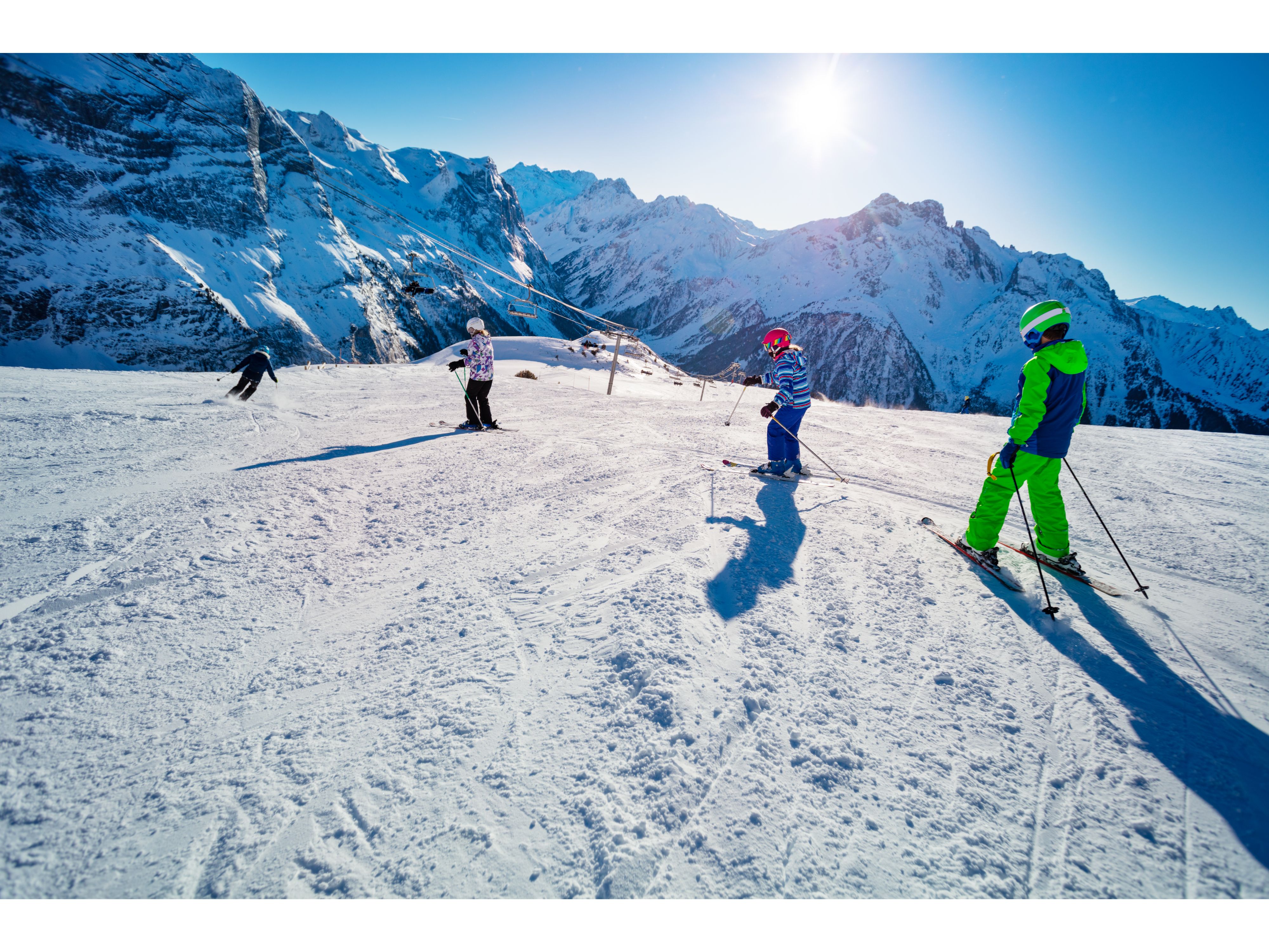
Douces Glisses
Alpe Du Grand Serre
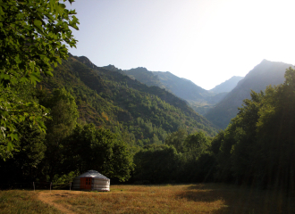
Unusual accommodation
Yourte et Cabane du Rivobruenti
Lavaldens
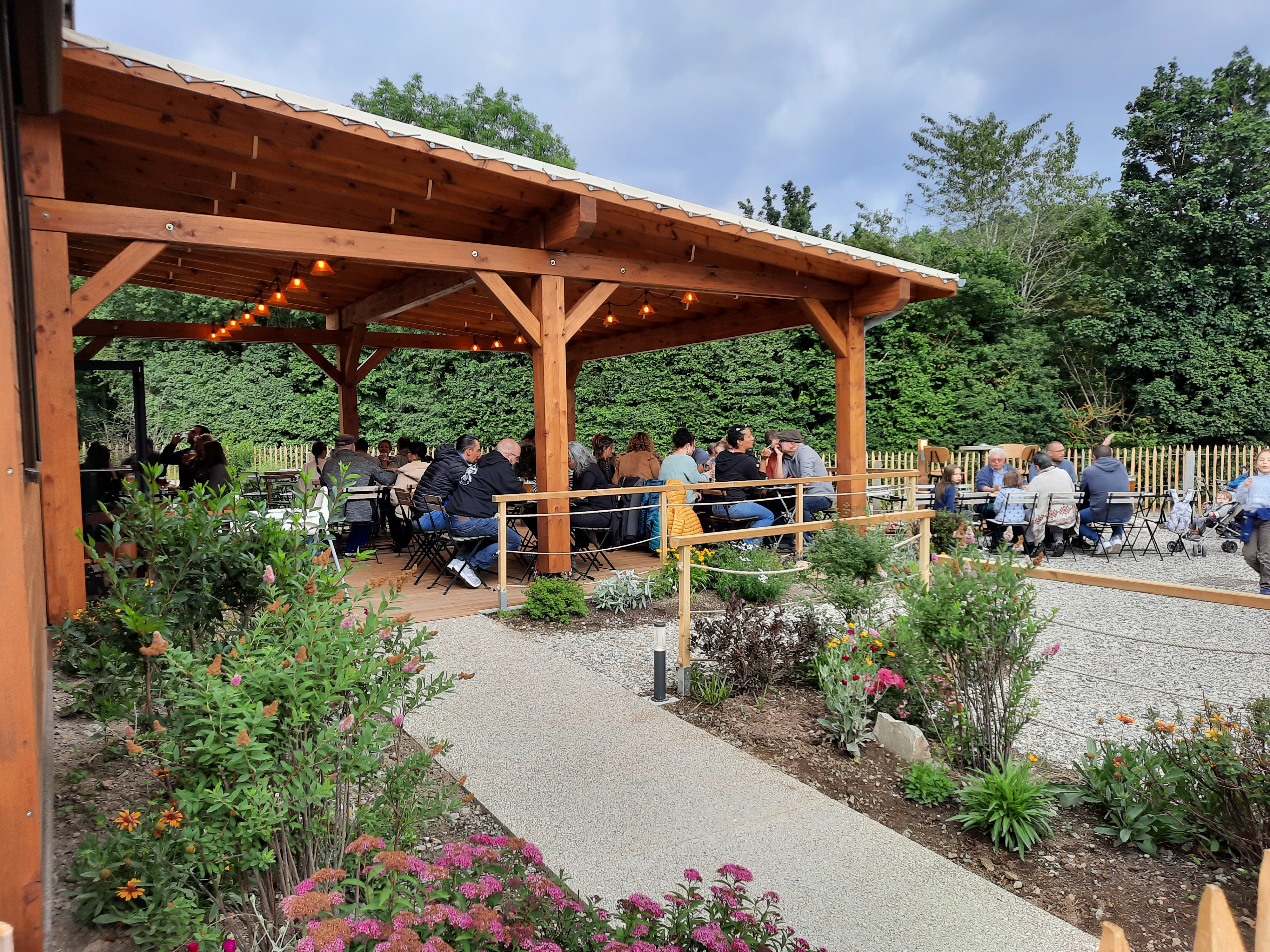
L’Annexe – Brasserie Matheysine
Nantes-en-Ratier
Bed & breakfast
Bed & Breakfast L’Ecrin d’Oriou
Oris-en-Rattier
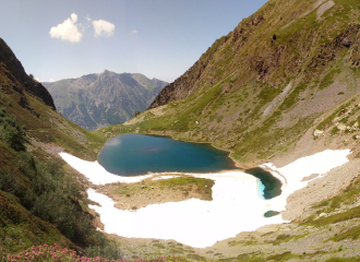
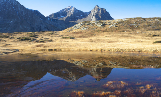
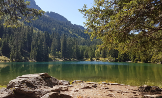
Lake
Lakes Rif Bruyant
Alpe Du Grand Serre
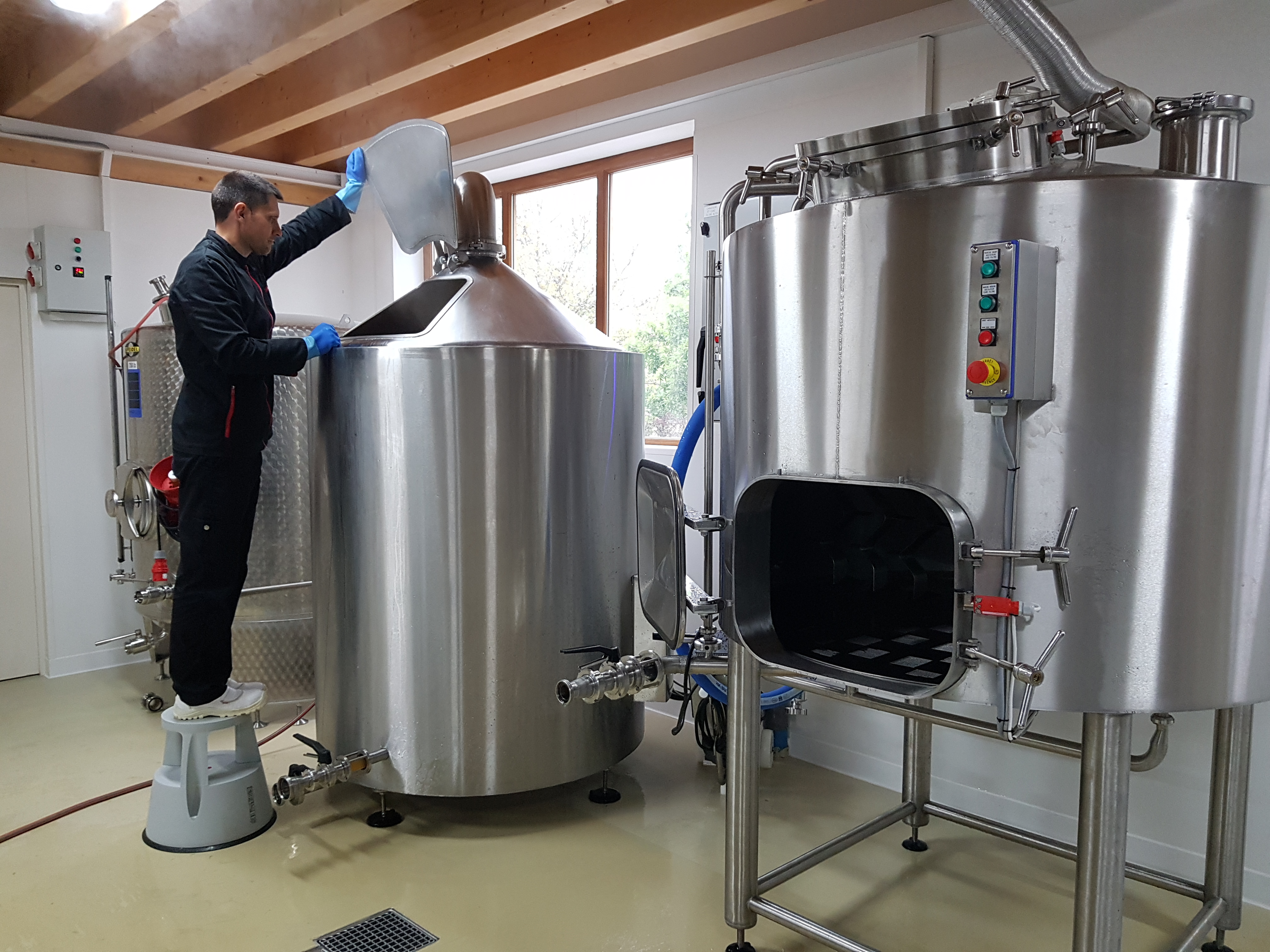
Brasserie Matheysine
Nantes-en-Ratier
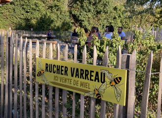
Rucher Varreau
Nantes-en-Ratier
Organic Farming (AB)
La Cagette Bio Matheysine – Nantes-en-Rattier
Nantes-en-Ratier
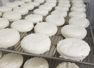
Chèvrerie du Jas
Oris-en-Rattier

Bains nordiques – L’Annexe
Nantes-en-Ratier
