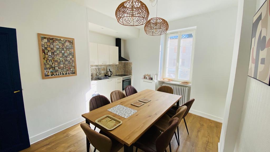
Grande Traversée du Jura on foot: From Culoz to La Borne au Lion
Ain ()

The GTJ crosses the entire Haut-Jura Regional Nature Park, with a foray into neighbouring Switzerland. Inaugurated in 2004, the GTJ on foot follows the Grande Randonnée GR® 5 and GR® 9 trails, as well as the GR® de Pays.
With the Grande Traversée du Jura on foot, lovers of nature and wide-open spaces will experience intense moments in a gentle mountain environment. Undulating over ridges, spanning cluses, emerging from a forest to skirt a lake, this is a gentle itinerary with no particular difficulties, taking in the most beautiful paths in the Jura Mountains.
Accessible to all, it offers a total of 400 km of trails and a multitude of different landscapes and atmospheres.
To meet every hiker's needs, the trail can be adapted to suit every taste: from 2 to 3-day hikes well-suited to families, to walks for hikers in search of rejuvenation, to more physically demanding hikes, and why not ... the complete route, to be completed in 15 or 20 days.
Day 1: Culoz -> Chalet d'Arvière, approx. 6h30
Distance: 19.8 km
Difference in altitude: 1333m D+ / 386m D-
From Culoz, follow the Gr (red and white) towards Pont de la Magnine, Fenestré viewpoint, Granges neuves, Grange à Masse, Col du Colombier, Croix du Colombier, Col de Charbemène, Sapin Daubré, then Chalet d'Arvières.
Day 2: Chalet d'Arvières -> Les Bergonnes.
Distance: 15.4 km
Difference in altitude: 349 D+ / 334 D-
Itinerary: From Chalet d'Arvières, continue on the GR towards Grande d'en Bas, Grange d'en Haut, Col de Richemond, Crêt Dauphin, Planvanel, Croix des Terments, pick up a yellow PR to Les Bergonnes.
Day 3: Les Bergonnes -> Lancrans, approx. 6h15
Distance: 22, 3 Km
Difference in altitude : 342 D +/ 1061 D-
Itinerary: From Les Bergonnes, take the yellow PR towards Croix des Terments, pick up the GR, then follow Crêt du Nu, Tumet, Charnay, Pra Devant, Catray, down to Ochiaz, Mussel, Rue de Lafayette, Gare de Bellegarde, les Pertes de la Valserine, then back up to Lancrans.
Day 4: Lancrans -> Refuge du Gralet 6h30
Distance: 17.8 km
Difference in altitude: 1355 D+/ 399D-
Itinerary: From Lancrans, take the GR towards Métral, Sorgia d'en Haut, Crêt de la Goutte, chalet du Sac, la Corne, la Pelaz, la Poutouille, then le Gralet.
Day 5: Refuge du Gralet -> Refuge de la Loge 4h30
Distance: 11.1 km
Difference in altitude: 434m D+ / 438m D-
Itinerary: From the Refuge du Gralet take the GR towards Le Reculet, follow the crest to reach it, follow the Crêt de la Neige, then descend towards La Loge via Sous le Crêt, Les Brulats, Combe des Voyettes and Refuge de la Loge.
Day 6: Refuge de la Loge -> La Borne au Lion, approx. 4h30
Distance: 11.4 km
Difference in altitude: 649 D+/ 505 D-
Itinerary: From the Refuge de la Loge, descend towards Le Ratou on the GR, follow Lélex, Route du Frenet, le Niaizet, les Closette, Col du Crêt au Merles, then La Borne au Lion.
Accès libre toute l'année.
Contact et accès 01410 ChampfromierAin (1)
Informations complémentaires
Ça peut vous intéresser


Auberge Le Catray

Grand Colombier Mountain range


The disappearances of the Valserine


Lèbe Observatory


Nature reserve of Lavours marsh.


Réserve Naturelle Nationale de la Haute Chaîne du Jura


Campsite Le Valserine


Gîte Chalet d’Arvières


Gîte de groupe La Fruitière
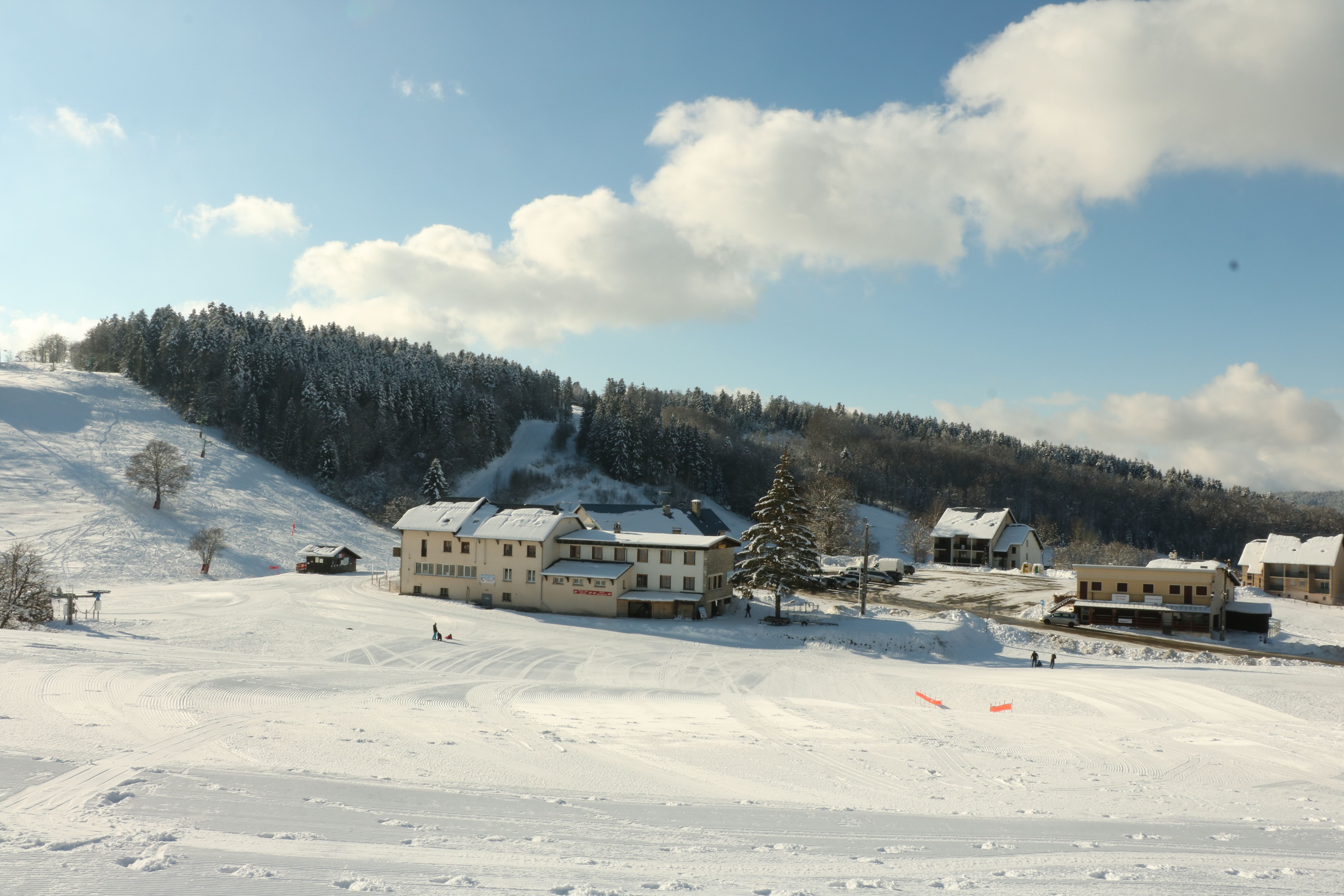

Hotel Restaurant Berthet


La Ferme de Retord


Bed and breakfast : Le Bellevue
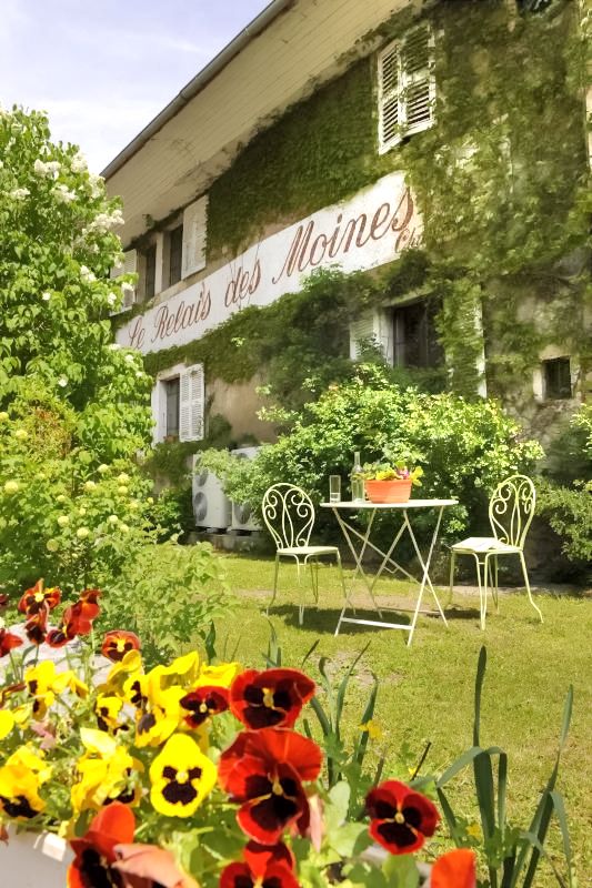

Le relais des Moines


Refuge de la Loge

Restaurant le Relais des Moines

Le relais des Moines
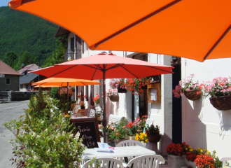
Bed and Breakfast Commerce
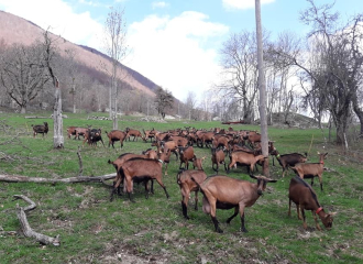
Noire Combe goat farm
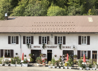
Restaurant le Commerce

Bordas burgers & crêpes
