Hiking itinerary : 2 Lakes Trail
Les Bauches m
Trail markings: The trail is marked with signs + blue writing.
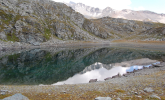
This 1st lake is a water reserve designed for the production of artificial snow. Lac du Carroley is nestled in an area where water, rock and flowers come together.
Take the road 6 km beyond Les Coches to Les Bauches. Park in the parking lot opposite the bridge. From here, follow the road (P) along a small canal (Bief) to the Esselet stone basin (P).
Turn left up the path (P). The path climbs up through the forest to reach a small plateau (P). Cross the plateau and continue along the path, which leads to a forest road (P). Turn left for 200 m, then right again (P). The forest becomes a giant garden of spruce, larch and pine trees. The path leads to a plateau (P). Turn left and cross the plateau in its entirety (350 m). Then climb slightly to the right and reach a vast meadow (P). Climb the grassy slope (stone path), reach the small road (P) and then a chalet visible on the right. Go around to the right to discover the Lac des Pierres
Pierres Blanches.
Return a few hundred metres along the dirt road to reach a large crossroads (P). Go up to the right, crossing a meadow. The path then veers left (signposted), passing through alternating meadows and small trees, remaining virtually flat. It takes 30 minutes to reach Lac du Carroley, at the foot of a scree slope. Return to Chalet du Carroley in 15 mins (P), then follow the narrow road back down to the Bauches parking lot (45 mins).
REMINDER: our dog friends must be kept on a leash in the ski area, especially around Plan Bois and the sled dog outings.
From 28/06 to 30/08/2025.
TarifsFree access.
Contact et accès Les BauchesLes Bauches 1770 m
73210 Montchavin-les-Coches
Savoie (73)
Informations complémentaires
Ça peut vous intéresser
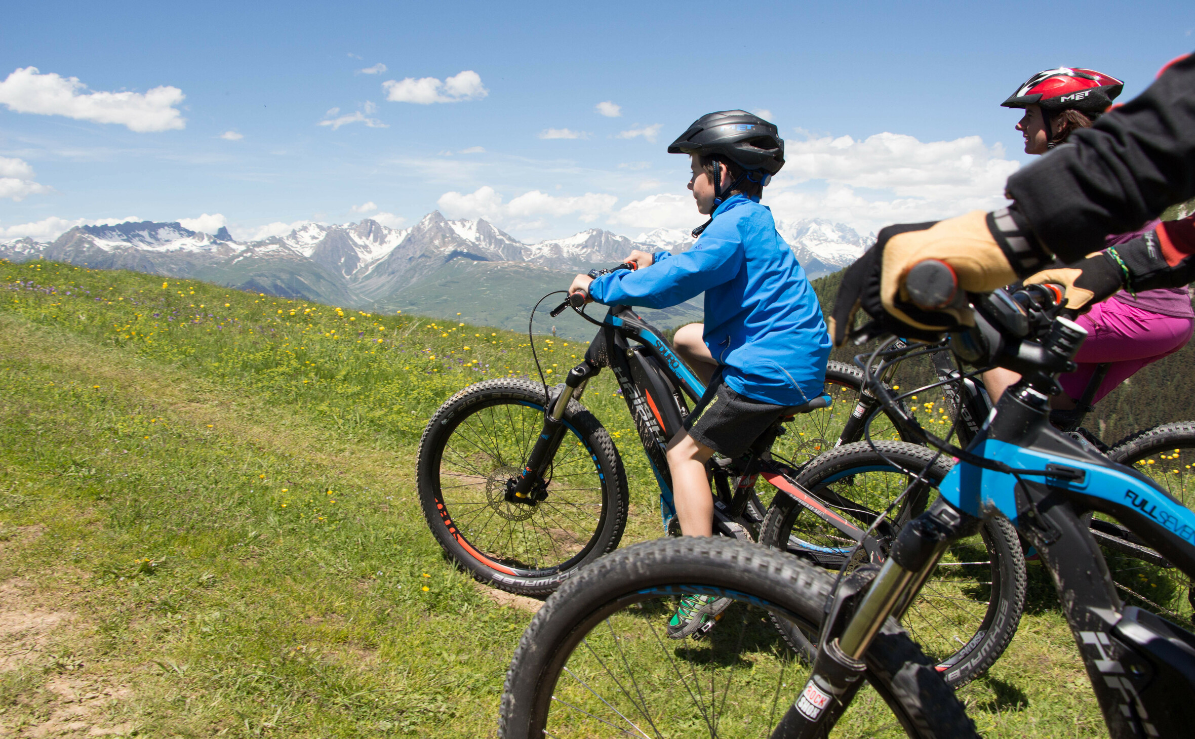
E-mountain bike battery recharging point – La Face Nord Restaurant
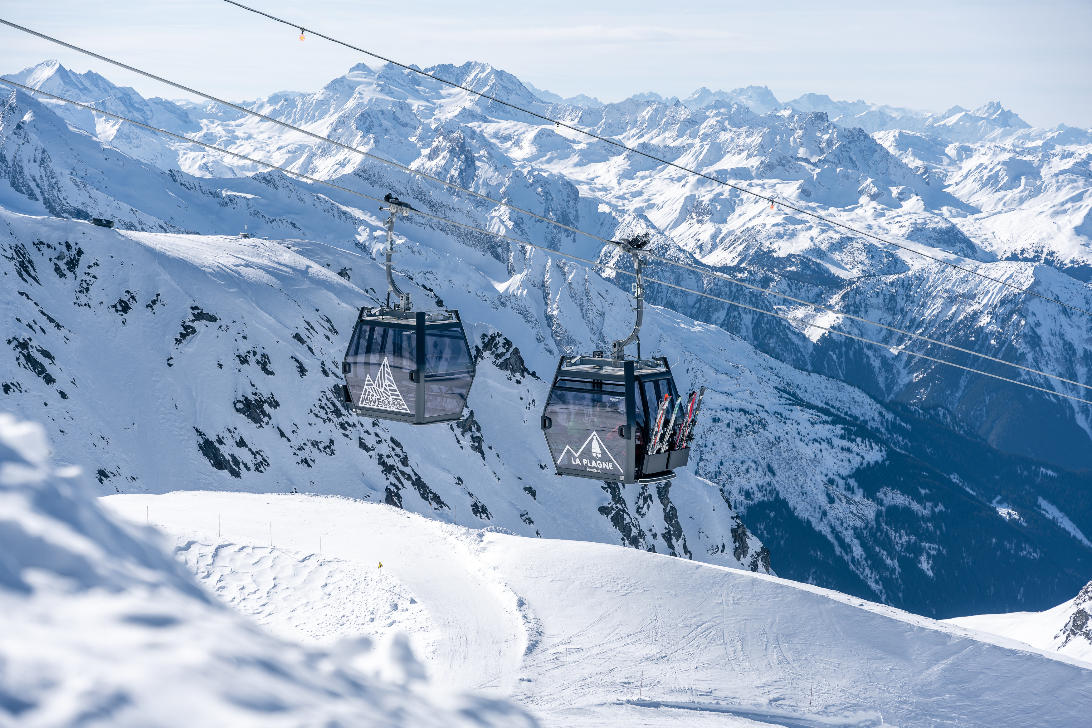
Photo Spot – Live 3000

Escape Games United
Résidence Lagrange L’Arollaie
Madame Vacances – Les Chalets du Praz
Les Chalets de Wengen – Goelia Residence
La Plagne Montchavin-Les Coches Tourist Office
Aux Enfants Terribles
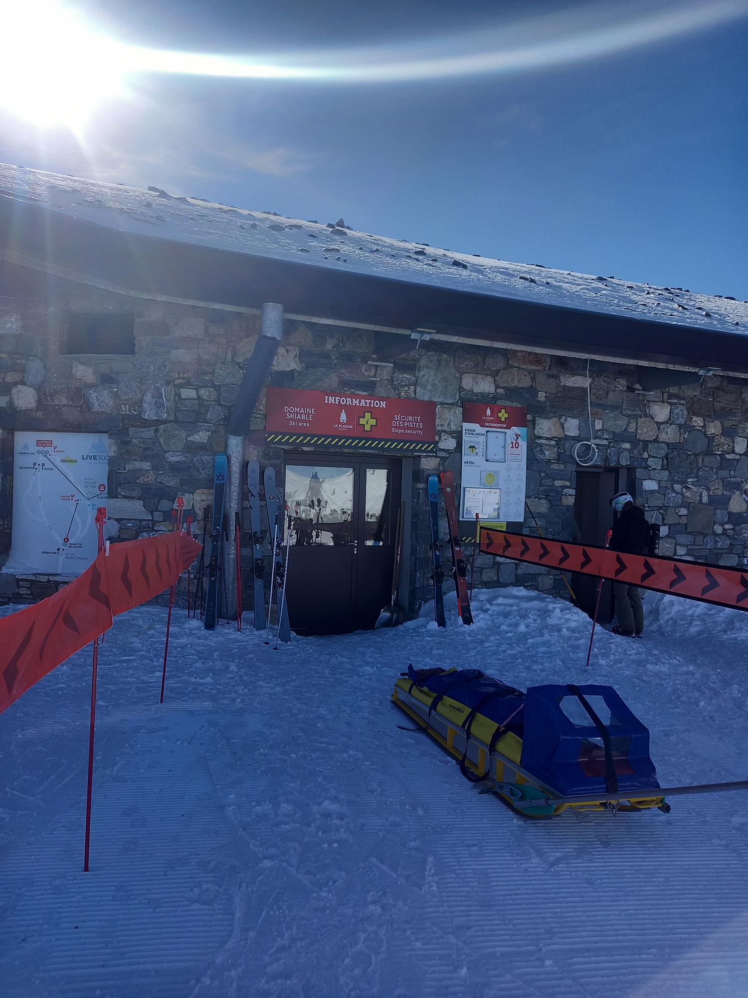
First aid station – Live 3000
Le Baryon
E-biking – La Plagne Discovery ride
