Respect the wildlife and the flora already weakened by winter. Keep your dogs on a leash. Bring back your rubbish
Guidebook with maps/step-by-step
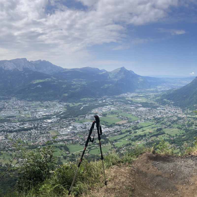
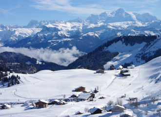
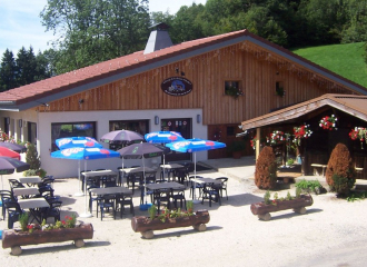
From Rontalon to the top of Mont Orchez: 1h45 From the Rontalon car park, take the direction of Mont Orchez. The climb begins a bit on the road, then the path climbs to the left in the pastures. On leaving the park, turn right between the buildings. The path then passes through the undergrowth and cuts through the departmental road several times before arriving at a place called "Sur le Coux" (country atmosphere, inn, etc.). The climb continues through a beautiful forest by a sometimes very steep path. A handrail secures a technical passage that cannot be avoided: a handrail is installed to help you. At the top, a lovely view over the Arve valley, facing the Môle and the Bargy chain.
From Mont Orchez to a place called Les Larroz: 50 min For the descent, follow the direction of Larroz via the Creux du Plane. You will meander through a pretty forest, on a fairly steep descent but without any difficulty. At Creux du Plane, take the direction of Larroz. You will arrive in the hamlet. From Larroz to Rontalon car park: 30 min Cross the hamlet of Larroz, and take the direction of the Rontalon car park. You will follow a balcony path, which will offer a beautiful view of the massifs. At the end of the forest, you will arrive in a meadow, go towards the chalet, and take the direction of the car park.
History, culture and heritage
Thyez is a city whose economy and urban landscape are marked by industry (watchmaking then bar turning). Many Gallo-Roman remains have been found during excavations around the Roman parish church.
Ouverture
From 01/04 to 15/11.
Subject to favorable weather.
Tarifs
Free access. Guidebook on sale at the Tourist Office.
Contact et accès Parking de Rontalon Route de la Riolle 74300 Thyez Haute-Savoie (74)