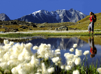
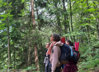
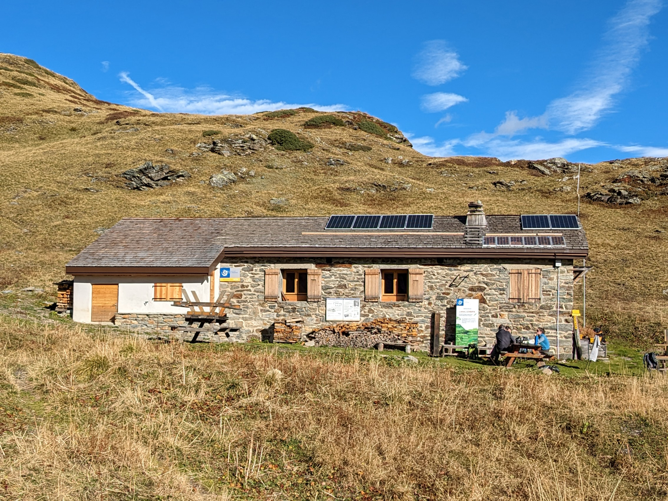
From the Chenal car park, take the pastoral road up to Fenil. At the top of the hamlet, leave the road and take a path on the right that rises. The path ends up joining a flat pastoral road in the mountain pastures. At the next fork in the road, take the road to the left, then follow a path that goes flat to the right. Cross the gorges of the Nant Cruet on a natural bridge and continue to climb up to the "Pierre Carrée". Then turn right onto the path which descends into a wood. At the end of the wood, leave a ruin on the right in a meadow and continue down into the forest. Pass under a power line and join a path on the right that leads to the Nazonde farm. Go back up to the front, pass under the power line again, then go down a steep and narrow path. Cross the torrent on another natural bridge and continue to the hamlet of Nantcruet. Then join Chenal by the pastoral road.
Guidebook with maps/step-by-step
1/ From the Chenal car park, take the pastoral road up to Fenil.
2/ At the top of the hamlet, leave the road and take a path on the right that rises. The path ends up joining a flat pastoral road in the mountain pastures.
3/ At the next fork in the road, take the road to the left, then follow a path that goes flat to the right.
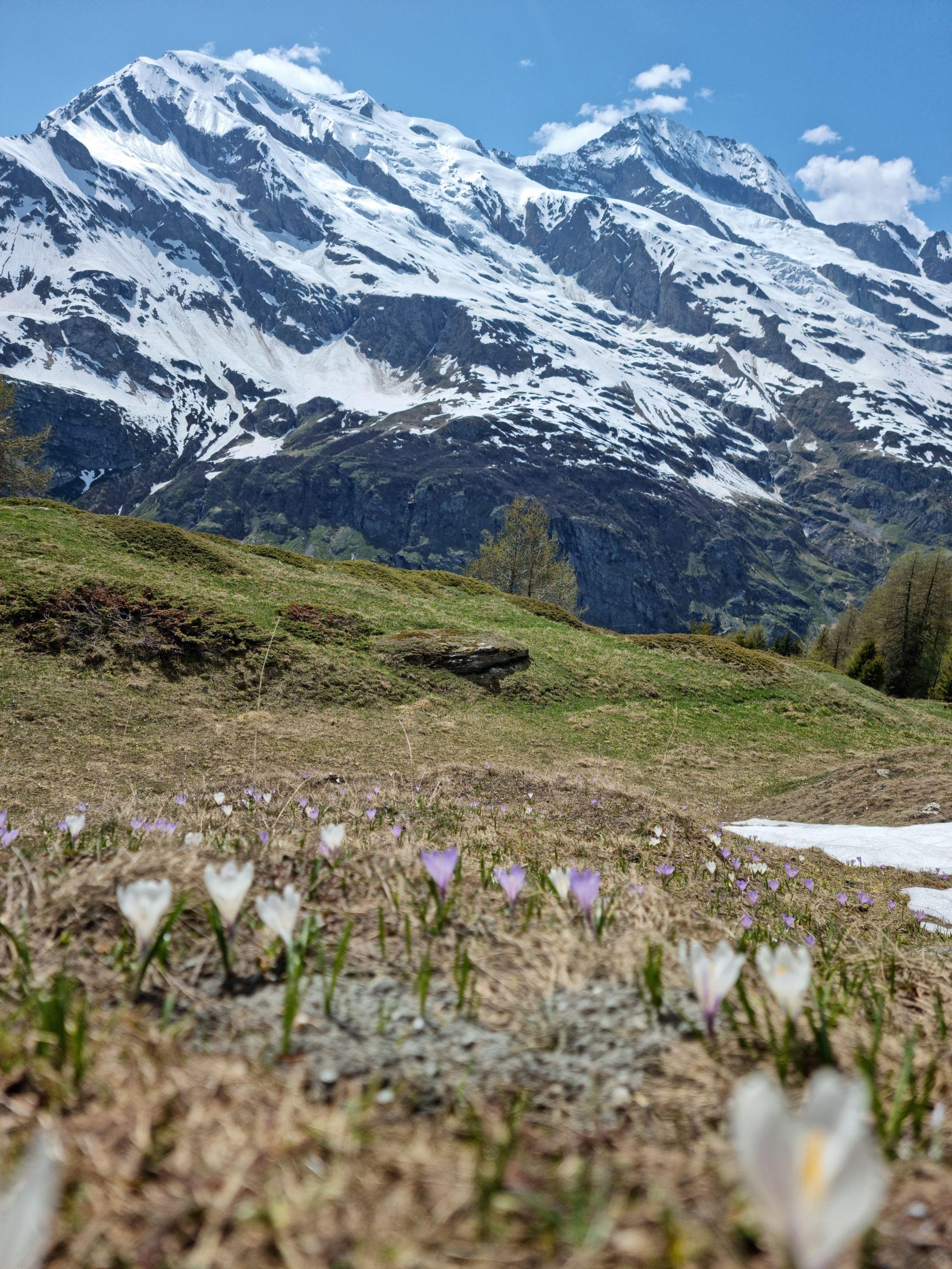
4/ Cross the gorges of the Nant Cruet on a natural bridge and continue to climb up to the "Pierre Carrée".
5/ Then turn right onto the path which descends into a wood.
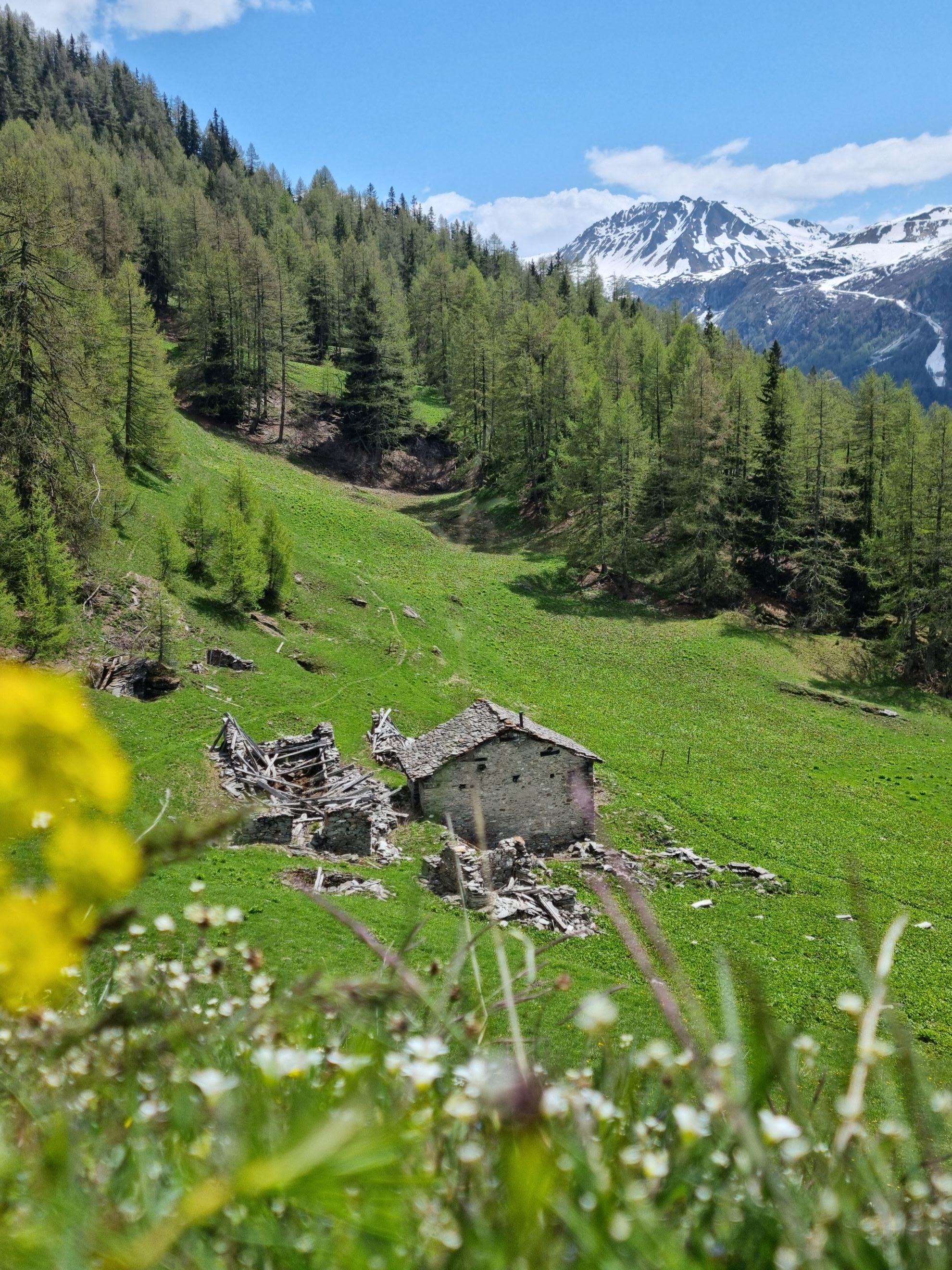
6/ At the end of the wood, leave a ruin on the right in a meadow and continue down into the forest.
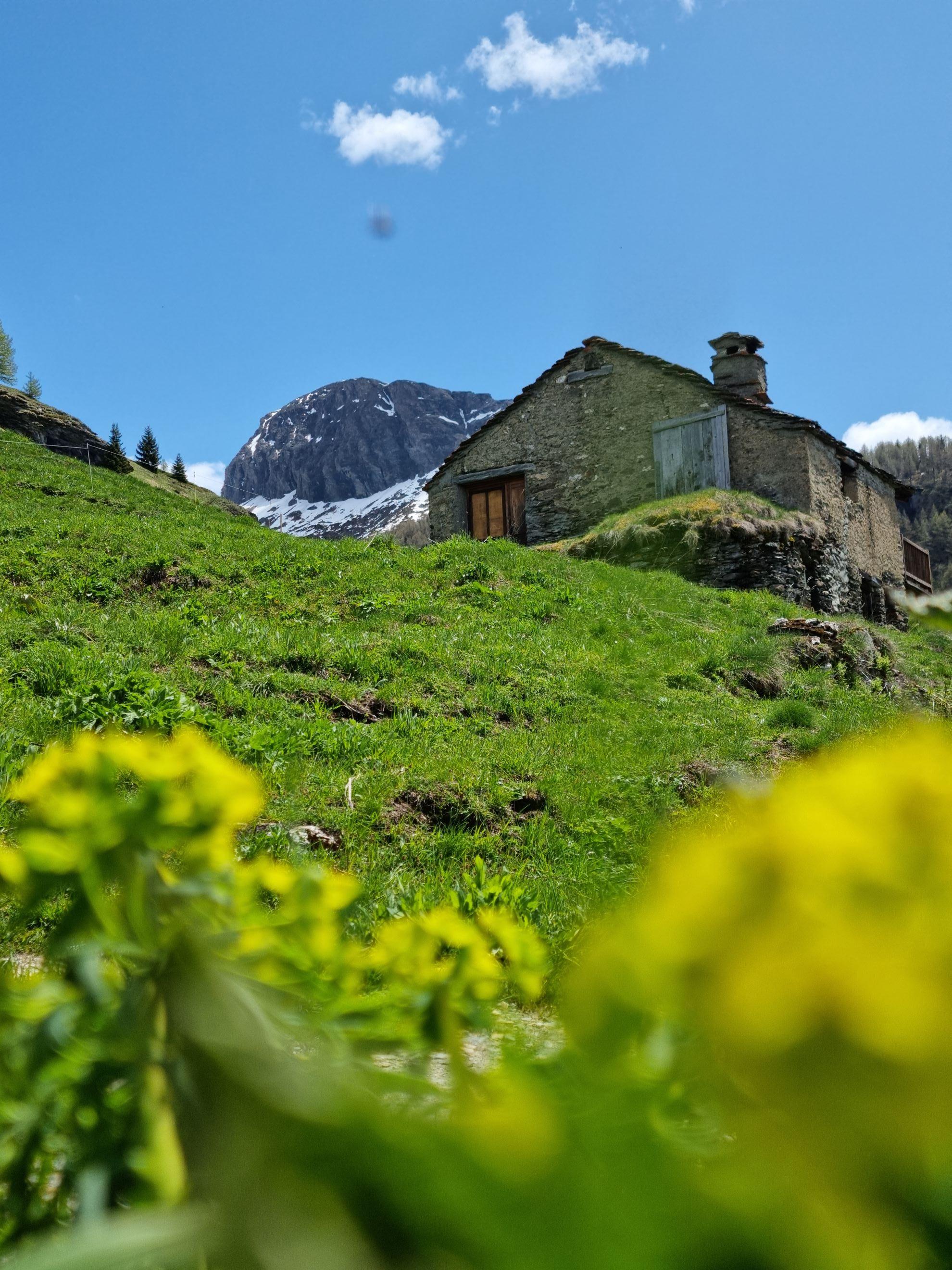
7/ Pass under a power line and join a path on the right that leads to the Nazonde farm.
8/ Go back up to the front, pass under the power line again, then go down a steep and narrow path.
9/ Cross the torrent on another natural bridge and continue to the hamlet of Nantcruet.
10/ Then join Chenal by the pastoral road.
Ouverture
From 01/04 to 30/11.
Subject to favorable snow and weather conditions.
Tarifs
Free access.
Contact et accès
Parking du Chenal
73640 Sainte-Foy-Tarentaise
Savoie (73)