


Sport
Hiking Trail: La Pierre à Voix (Limestone boulder)
route d'Outredière


Description
route d'Outredière
74700 Sallanches
Haute-Savoie (74)
Informations complémentaires
for climbers : between 25 and 50 routes, from 4c to 7b Max height: 45 m max.
Rock: limestone, Profile: vertical. Type of holds: crimps, flat.
Short routes on crimps on the north face. Long tracks on the south face with a lot of flat areas with little grip at the bottom and a very grippy, sculpted rock at the top. Dries fairly quickly.
Go hiking safely!
Walking time is approximate and does not take into account break times.
The topo/step-by-step description guides you generally but does not replace a 1/25,000 hiking map or other topoguides available in our tourist office!
In Sallanches, our Office of Guides & Leaders also offers a wide choice of outings accompanied by mountain professionals providing you with complete expertise on the environment and alpine nature, inquire at the tourist office to register.
Whatever your hike, check the weather before you go. Remember to take cereal bars, sufficient water, sunglasses, sunscreen, a cap or hat, a small first aid kit, as well as clothing suitable for your outing in your backpack. depending on the season and the forecast weather.
Departure: Plan Chevalier car park
1. from the car park you can either follow the road or take the Gypaète forest path which will join the road a little further on.
2. continue on the road which leads to the village of Outredière (889 m).
3. In the village, follow the sign indicating Doran via the Gypaète trail.
4. Just before taking the path on the left, admire the view of the Voice Stone in the distance.
5. Follow the path to the left with the small signs.
6. You will come to a junction, at a place called "Les Pendants", where you will have to leave the Lammergeier path to follow the Pierre à Voix path which is now 10 minutes away.
7. You reach your goal at the foot of this famous limestone monolith, which can be climbed on its south-eastern face or climbed from the back by rock climbing.
All year round.
Subject to favorable snow and weather conditions.
Free access.
Contact et accès départ : parking de Plan Chevalierroute d'Outredière
74700 Sallanches
Haute-Savoie (74)
Informations complémentaires
Ça peut vous intéresser


À proximité

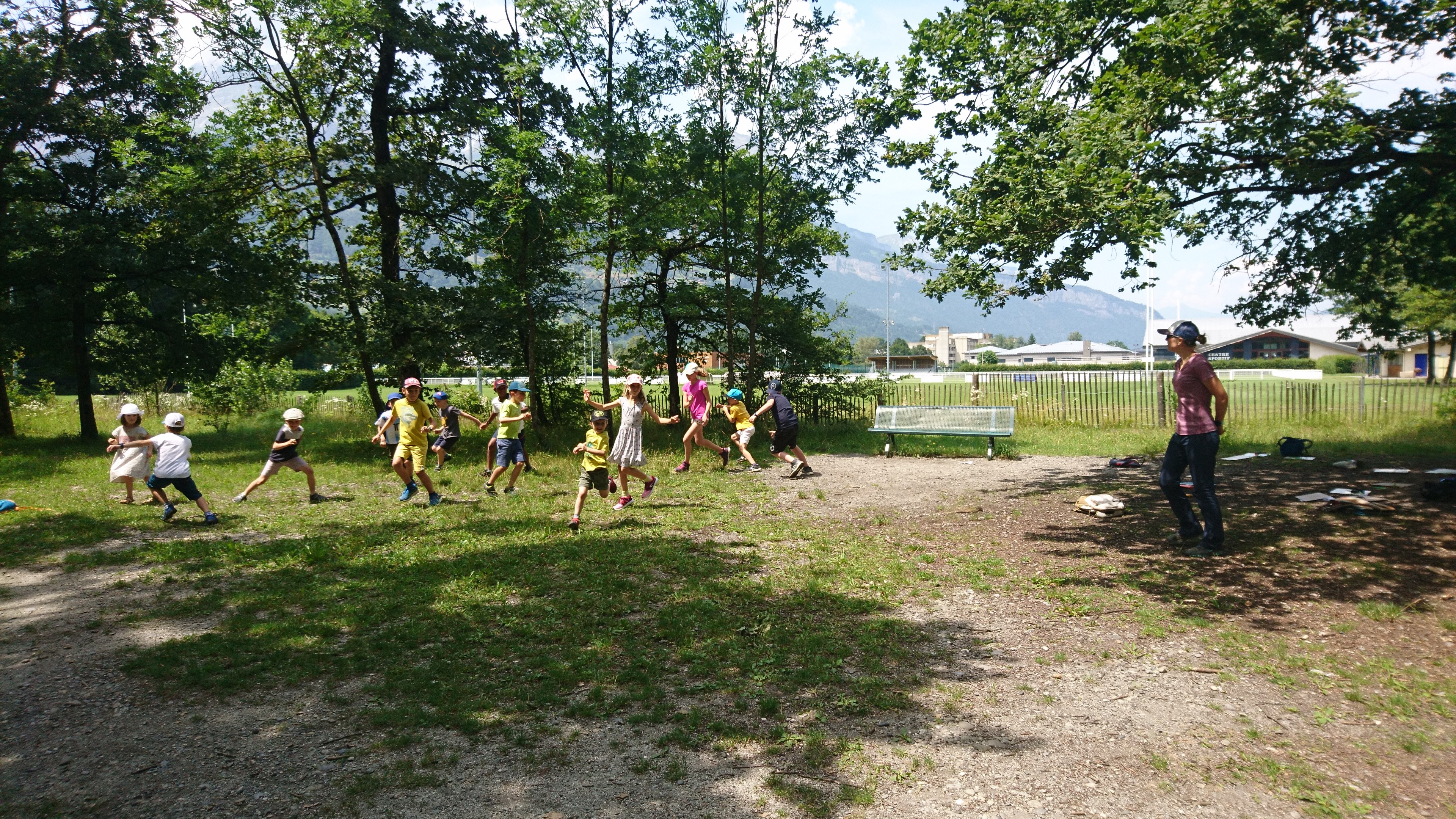
Bureau des Guides
@Wendy Coulon
CNM
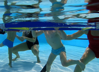
Centre Aquatique de Sallanches Mont Blanc
JMBarey
Cédric le Nomade
©FredK Photographie
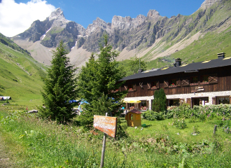
refuge de Doran

Service providers
Bureau des Guides et Accompagnateurs (Guides office)
Sallanches

Sporting activities
Via Corda de Doran
Sallanches

Tourism institutions
Service groupes tourisme d’affaires
Sallanches
Associations
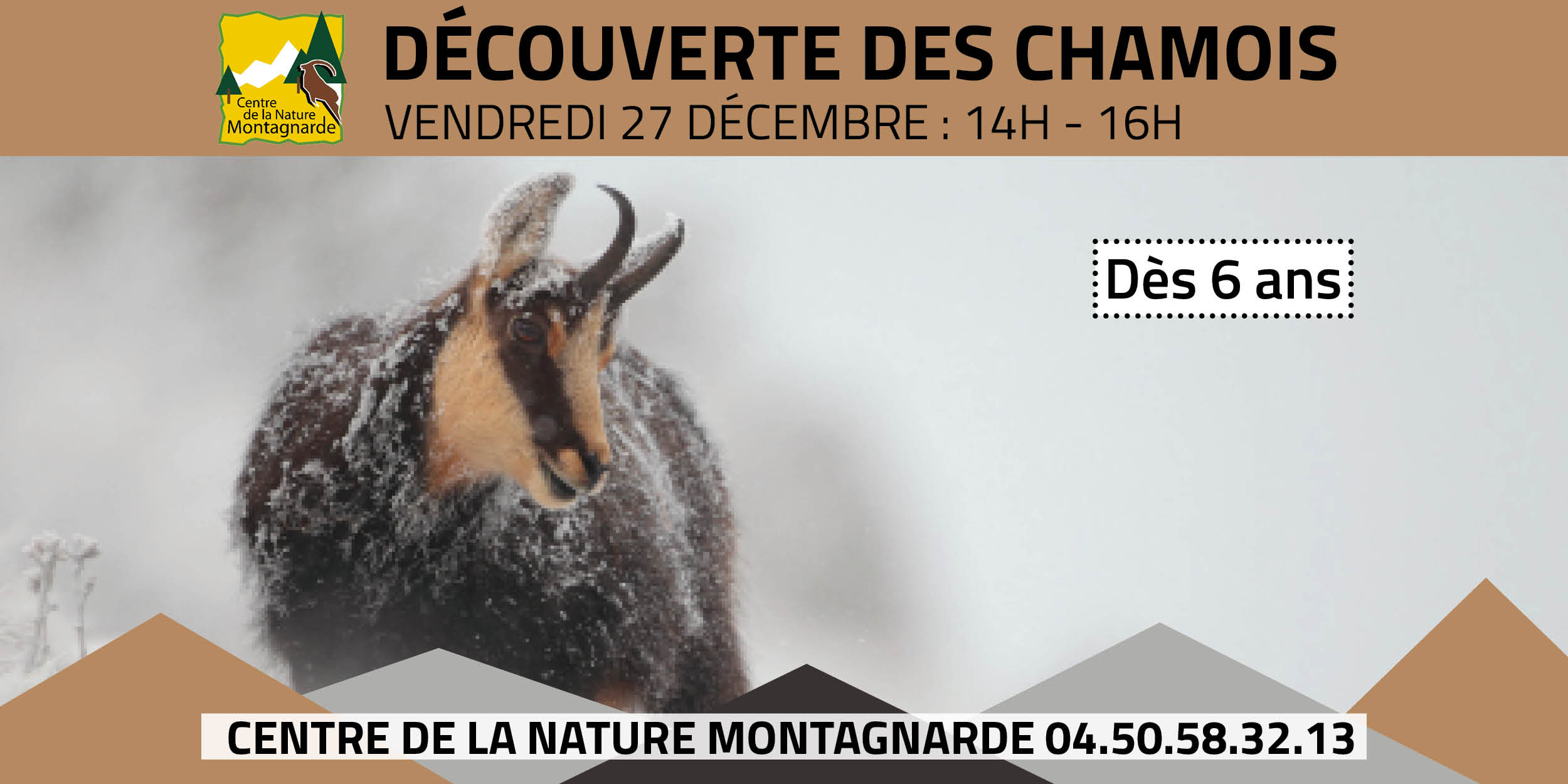
Centre de la Nature Montagnarde
Sallanches
Sporting activities
activité aquatique bébés nageurs et parc de jeux aquatique (de 6 mois à 5 ans)
Sallanches
Sporting activities
Découverte des chamois
Sallanches
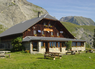
Refuge
Refuge de Mayères
Sallanches

Sporting activities
The Mont Blanc balconies on an electric mountain bike
Cordon
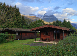
Campsite
Camping le Relais de la Vallée Blanche
Sallanches
Cultural
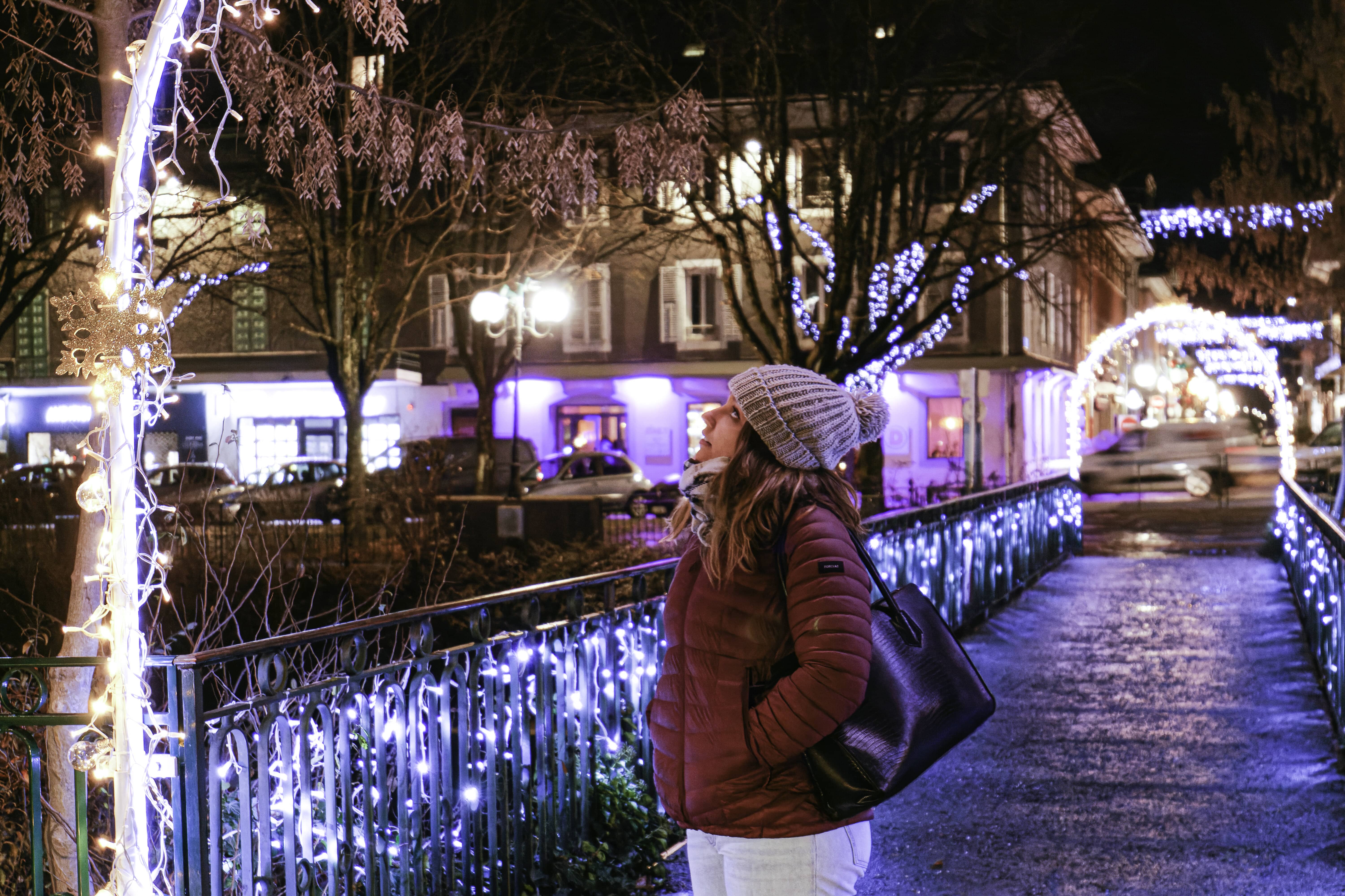
Noël à Sallanches – Projection mapping et Illuminations
Sallanches
Restaurant on the ski slopes
Restaurant d’altitude de Doran
Sallanches

Nature and relaxation
Visite à la ferme des Cabrettes
Sallanches
