Refuge du Taillefer (coming from la Grenonière - Ornon)
Isère ()

TECHNICAL INFORMATION :
Start : La Grenonière car park after Ornon.
Uphill climb : 770m
Time : 2h15 (one way)
Distance : 4 kilometres
Difficulty : Easy
Trail exposure : south east
MAP AND TOPOGRAPHY
Map IGN : TOP 25 n°3336 ET LES DEUX ALPES and TOP 25 n°3335 OT GRENOBLE
Map n°1 "Oisans au Bout des Pieds" : trail 629
ITINERARY :
After going through Ornon villagepark your car at the end of the road in the Grenonière car park. After about 1.5 km on the trail, take the path on the right in the direction of the refuge. The next part is quite steep until 'La Buffe'. The path then gets easier and you go past the Oulles alpine chalet, and finally cut across to the refuge.
From 01/06 to 30/09.
Depending on snow conditions.
Subject to favorable snow and weather conditions.
Possibilité de 1/2 pension : adulte : 40 €
Demi-pension enfant : 29 € (de 5 à 11 ans.)
Isère (38)
Informations complémentaires
Ça peut vous intéresser
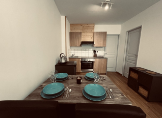
Small et Cosy 1

Visit the fields
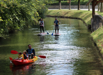
Paddle down La Rive – Stand-up paddle

Le Chamois

Le Feuilleté de l’Oisans
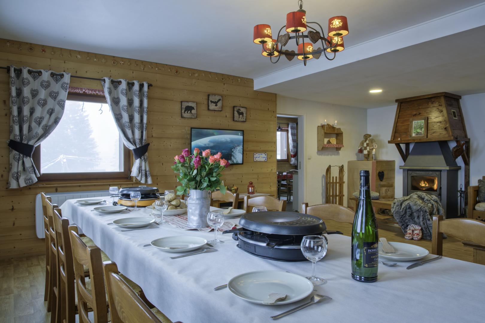
La Tanière de l’Ours

The blue run

A yoga and cycling holiday
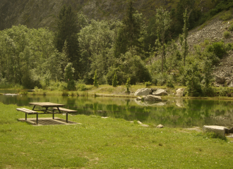
Balades en Oisans
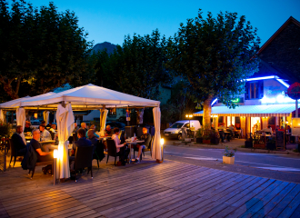
Le Rive Gauche

Canoë Kayak Oisans
