Du Buëgue au Caire
Drôme ()
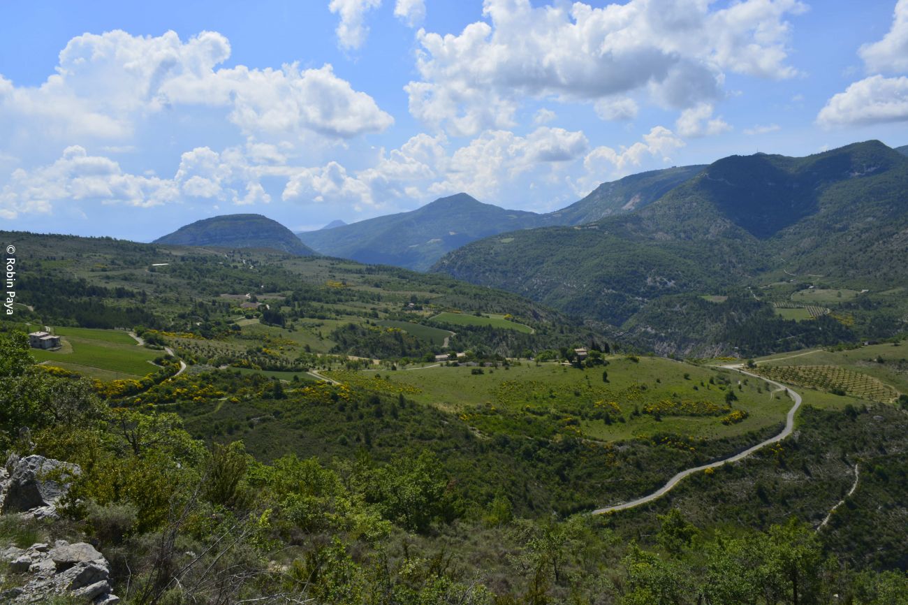
The built heritage, still visible here with the ruins of some farms and above all the remains of the Val-Bodon Abbey built in the 6th century, whose first priest (or abbot) bore the name of Marius (a patronymic the village would later inherit), is a reminder that the plateau was once widely occupied, particularly for agriculture.
Departure point: From Saint-May, take the narrow road up to the Saint-Laurent plateau. Park at the Bodon Abbey parking lot.
1. From the parking lot, at the "Abbaye de Bodon alt. 695 m" sign, continue straight ahead along the road towards Bodon and Rocher du Caire.
2. At the "Bodon alt. 700 m" sign (road junction), follow the road to the end of the Saint-Laurent plateau, towards Rocher du Caire. Then take the track that follows the road to the Vulture parking lot. Follow the 1.5km trail to the Rocher du Caire cross. Enjoy the view over Rémuzat (300m below) and the vultures soaring over the valley.)
3. Just before the cross, at the "Rocher du Caire alt. 780 m" marker, take the left-hand path along the ridges towards the Col de Saint-May. Reach the
highest point (Devès - 1048 m), then descend to the "Champ du col alt. 956 m" post.
VARIATION: At the "Champ du Col alt. 965 m" signpost, take the wide track to the left towards Bodon (alongside the lavender fields), which joins a small road, the Bodon abbey and returns to the starting crossroads.
4. At the "Champ du col alt. 965 m" sign, continue straight on towards the Col de Saint-May. At "col de Saint-May alt. 970 m", take the first path on the right towards "ravine du col" and "Rémuzat", which descends through marl and woodland, with some steep sections running parallel to the ravine. Reach the "Ravine du Col alt. 800 m" crossroads.
5. Take the path to the left towards "Col du Pensier" and "Léoux", cross the stream and climb the steep slope opposite. Look out for a small
and pass the ruins of an old farmhouse that used to be a relaisauberge. Continue on past another ruin to the Col du Pensier (1002 m).
6. Take the wide track down to the Léoux valley and continue straight on when the track becomes a road, taking two consecutive switchbacks.
7. Before the small bridge, at the "Léoux alt. 775m" sign, fork left onto the "Chemin de la Botte" towards the Chemin du Buègue, staying on the main track.
8. At the "Chemin du Buègue, alt. 760 m" signpost, continue straight ahead towards source des Aumas on the main track, which rises for almost 2 km. At "La Botte", go round the house on the left-hand side of the track, which continues downhill with a view of Saint-May below.
9. As you change slope, watch out for the start of a path on the left which leaves the track and descends to the plateau. After a few steep downhill sections
steep downhill sections and several hairpin bends, you reach the road taken by the car on the way up. Turn left at the "Source des Aumas alt. 590 m" sign and climb up to the parking lot.
All year round.
TarifsFree access.
Contact et accès 26510 Saint-MayDrôme (26)
Informations complémentaires
Ça peut vous intéresser
Gîte d’étape et de séjour les Curebiasses
Solarôme
La Guinguette
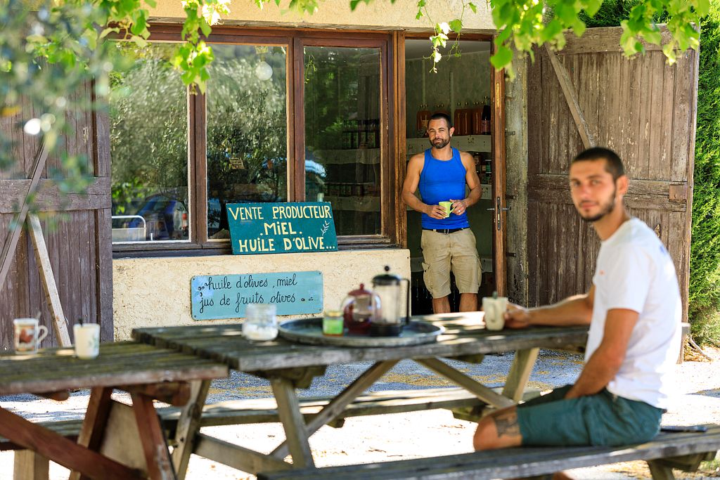
Farm Perdicus
Séjours et sorties avec les ânes
Neaclub les Lavandes Drôme Provençale
Mistral
Office de tourisme des Baronnies en Drôme Provençale – Pays de Rémuzat
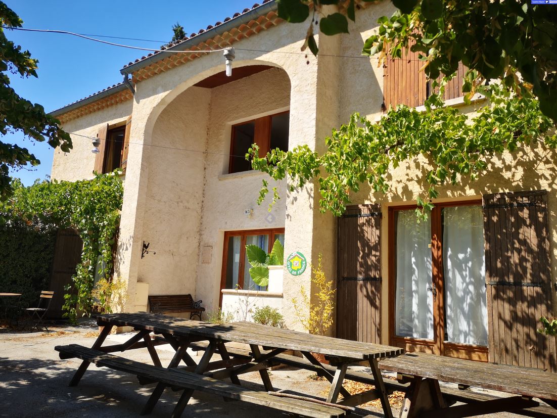
Gite d’Angèle
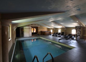
Espace zen de la Ferme Fortia
Félix Damien


