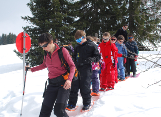
Les Balcons du Léman en Vallée Verte" hiking trail
Habère-Lullin
This long hike can be extended over several days in the Léman Alps, with overnight stays in a gîte, hotel or refuge. To prepare your itinerary, contact the Tourist Office reservations department on 04 50 73 78 62.
Guidebook with maps/step-by-stepHabère-Lullin - Monastère des Voirons (3h): from the church in Habère-Lullin, follow the road for around 300 metres towards Boëge.
On leaving the village, you join the Menoge descent path. Continue along the river, following the signs. You pass through the hamlets of Grange and Maison Neuve to reach Boëge via the sawmill.
In Boëge, join the town hall square and the departmental road leading up to the Col de Saxel.
Follow this road for 600 m, then follow the signs for Les Perriers, taking a local road on your left.
From Les Perriers, follow the road to the hamlet of Penaz. From here, take the footpath and a fairly steep climb through the forest.
You can take a break at the waterfall.
You will then reach the hamlet of Lilette. From here, continue uphill towards the hamlet of Chez Ruffieux.
Follow the path into the forest to reach,
After about 20 minutes, you'll reach the Bethlehem monastery parking lot. Follow the path that starts at the edge of the monastery gates. This joins the road that runs around the monastery for a few metres.
At the end of this road, take the path going straight up towards
Signal des Voirons.
Monastère des Voirons - Paturage de l'Herpettaz (2h):
At Signal des Voirons, you're on the GR des Balcons du Léman.
Turn right towards the Col de Saxel (shops). You'll come across a footpath, then the road to the monastery 3 times.
Each time, stay on the GR. You then come to the hamlet of Clavel. Continue along the road for a few metres to reach the Col de Saxel. From the Col, follow the RD20 downhill for 200 m, then take the path on your left towards Supersaxel. You will cross the road twice
you reach Supersaxel.
From here, continue along the forest road past the gate to the reservoir. The GR then turns left and winds its way up through the Supersaxel forest to reach a small summit (point 1284).
You then follow the ridge through the forest, always staying on the GR, until you reach the Herpettaz pasture. Variant: you can
continue the loop or return to your starting point by taking the path on your right that joins the hamlet of Chez Garin and the village of Habère-Lullin.
Paturage de l'Herpettaz - Habère-Lullin (4h): from
l'Herpettaz, continue on the GR to the Col de Cou, passing the tête du Char. At the Col de Cou, follow the RD for 5-10 minutes to reach the foyer des Moises.
From the foyer, follow the Menoge descent through the hamlets of Habère-Poche on a long descent to Lac de la Crossetaz.
From here, cross the bridge on the left and return to your starting point. Well done!
Toute l'année.
Sous réserve de conditions météo favorables.
74420 Habère-Lullin
Haute-Savoie (74)
Informations complémentaires
Ça peut vous intéresser
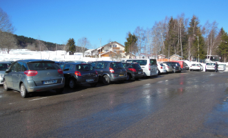

Car park – camping-car des Moises
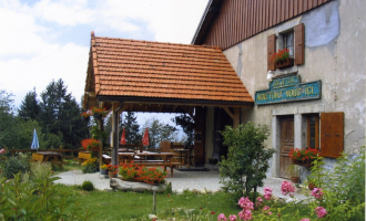

Arrêtons-nous ici


Boucherie Bouvier – Bangillon
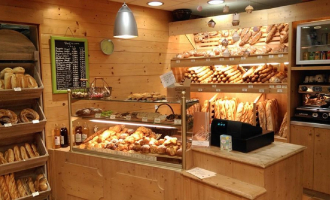

Boulangerie – Pâtisserie Le Tiennolet
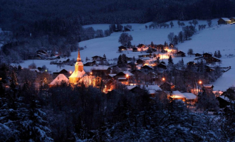

Church


Foyer nordique et de loisirs des Moises
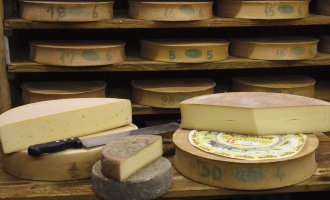

GAEC le Chalet
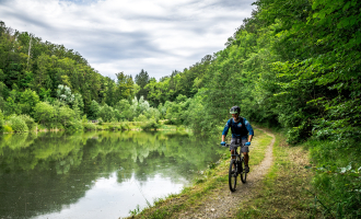

La Crossetaz lake
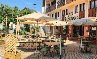

Les Habères


Lac de la Crossetaz composting toilets
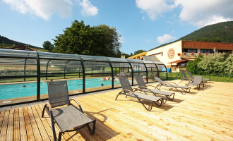

Les Cîmes du Léman NEACLUB
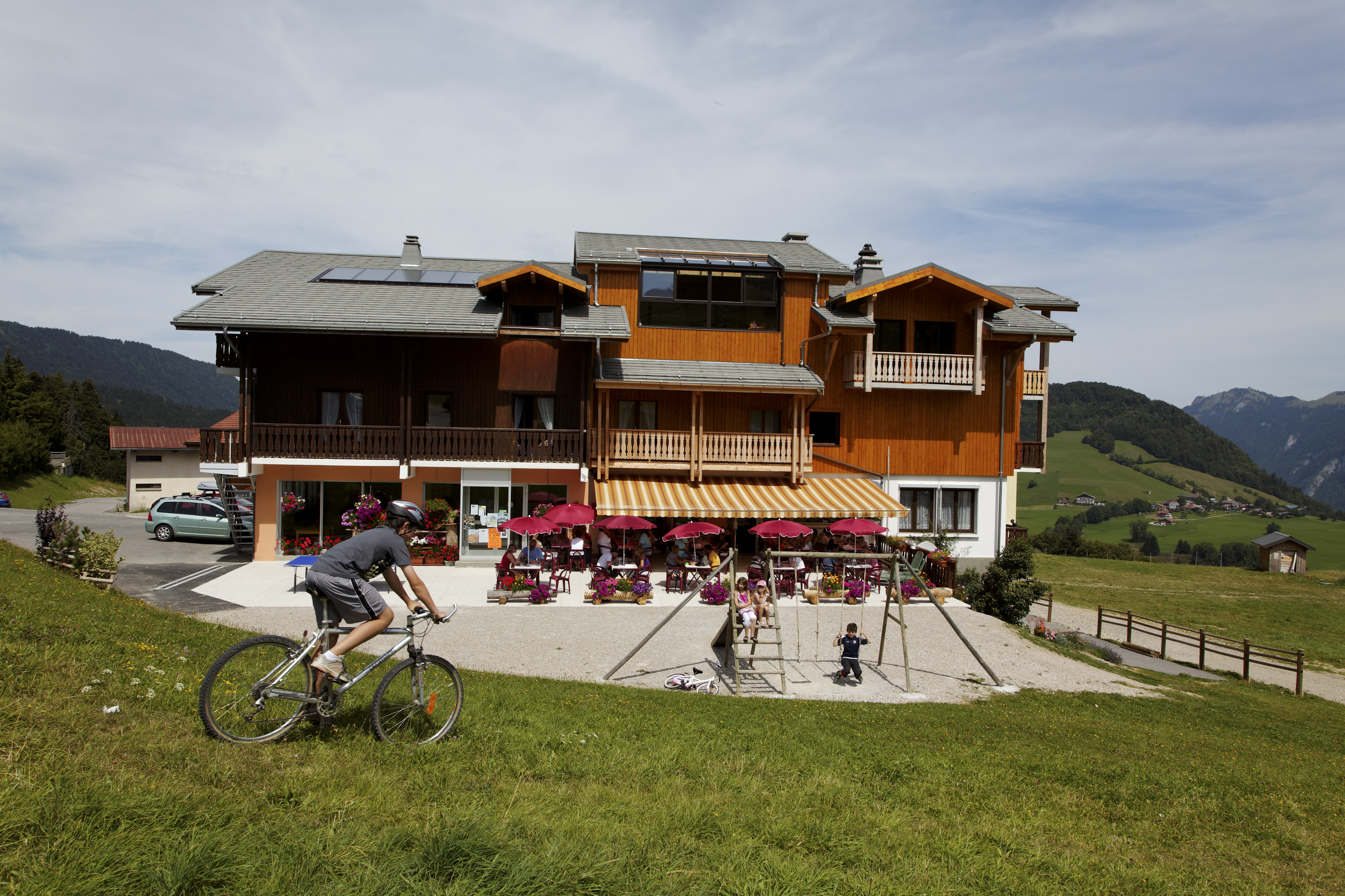
Hôtel les Skieurs
Hydrolacîme
Location VTT – Bois Noir
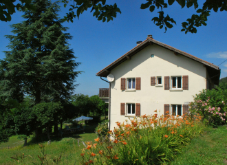
Logis de la Marmotte
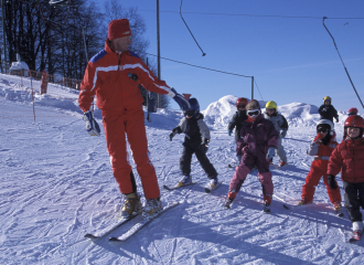
Les Habères Group Alpine Ski – Snowboard Lessons

Tabac – Presse Bonnet

Le Christania

Introduction to biathlon
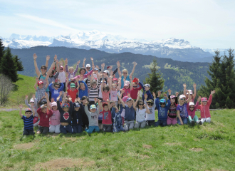
Citizen Itinerary – Chalet Florimont

Cours de Natation
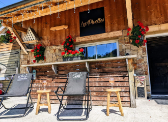
Les Pivottes
