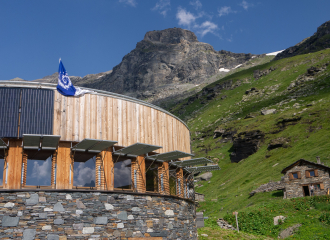
Hiking trail The alpages d'Entre deux Eaux
Val-Cenis
Starting altitude: 2053 m
Highest point: 2367 m
Type of route (loop, round trip): outward/return
At the shuttle information panel, take the path to the right towards Plan du Lac which leads to the (guarded) refuge of the same name. The path descends in the direction of between two waters. At the St Barthélémy chapel, cross the road and go down to the left of the building in the direction of the Rocheure torrent. Cross the torrent. Climb towards the guarded refuge of between two waters. Continue towards the Leisse refuge (guarded), pass the chapel of St Pierre then turn left. The path passes near the alpine chalets and leads back to the Renaudière bridge. Possibility to reach the Bellecombe car park by shuttle (see timetables at the Tourist Office).
OuvertureFrom 15/04 to 31/10.
TarifsGratuit
Contact et accès Termignon73500 Val-Cenis
Savoie (73)
Informations complémentaires
Ça peut vous intéresser

Bellecombe car park
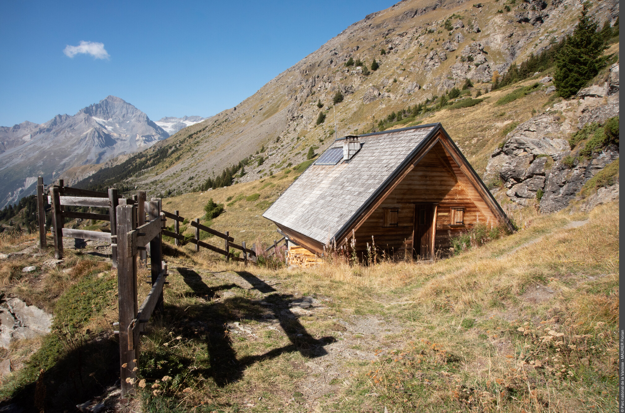
Refuge du Cuchet

Refuge de Plan du Lac
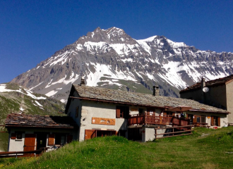
Refuge d’Entre-Deux-Eaux
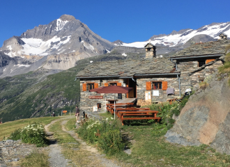
Refuge du Lac Blanc
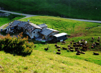
Alpage de Chavière
Refuge de Plan du Lac
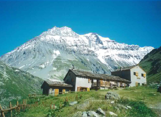
Restaurant d’Entre-Deux-Eaux
